On the Via Berna from Tramelan to Saint-Imier
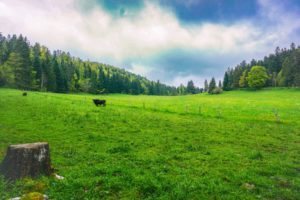
The logical continuation of the previous day’s hike was to make the next stage of the Via Berna, between Tramelan.
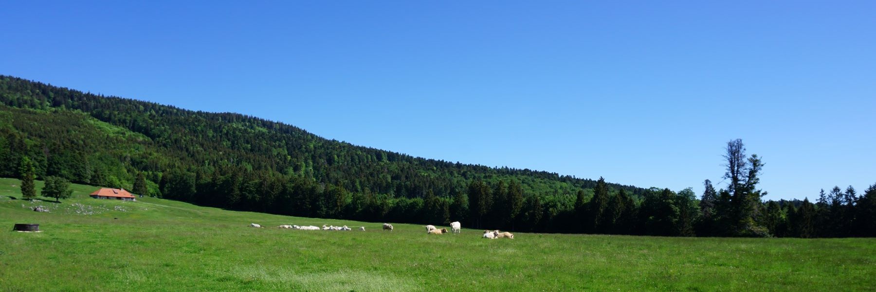

The logical continuation of the previous day’s hike was to make the next stage of the Via Berna, between Tramelan.
When I looked at the map of Swissmobile, I discovered that there was a long-distance hike route across Switzerland between.
For me, topographic maps are not only a planning tool, but also a way to escape by imagining how certain.
The Breccaschlund is a magnificent destination in the Fribourg Prealps. Behind the Lac Noir open three marked valleys. The most.

For this hike, I had decided to change the destination a bit to go to the Gruyère mountains. And I.
The Gantrisch is a summit, but also a region to which the summit gave its name. This region extends between.
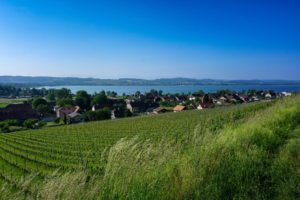
Before talking about the hike of that day, I must clarify a point in relation to this destination. The Vully.
If we look at the national map online and display the network of marked trails, we realize that there are.
Here is a hike that I did following, with a few exceptions, the one of January 4th of this year.
Between the Col des Roches and the Brévine, the national border follows the ridge for a good length passing by.
