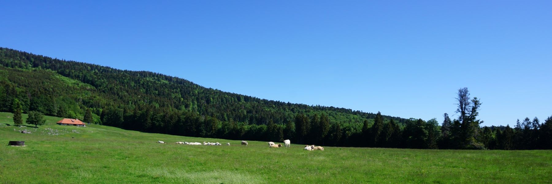
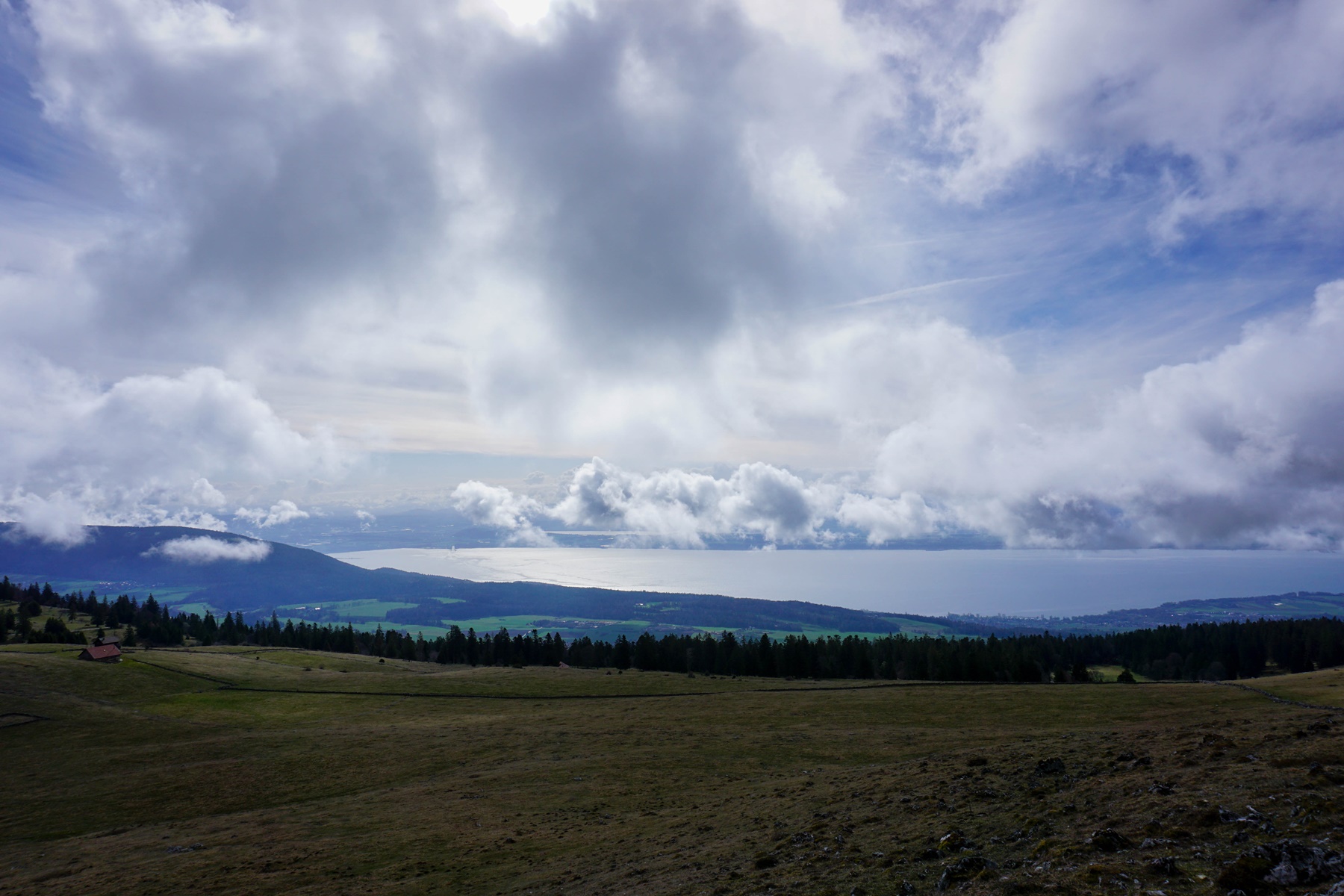
I particularly appreciate the Mont Racine region, because there are beautiful views of the lakes, the Swiss Plateau and the Alps. This is one of the reasons why I often went there but always starting from the Head of Ran. There, I wanted to change the route a bit, starting from the Vallée des Ponts to reach Chambrelien. The departure and arrival points (La Sagne and Chambrelien) are easily reached by public transport. It is therefore easy to do this crossing hike, without having to use one’s private vehicle.
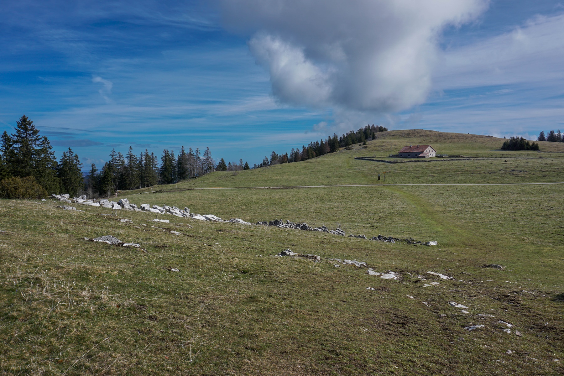
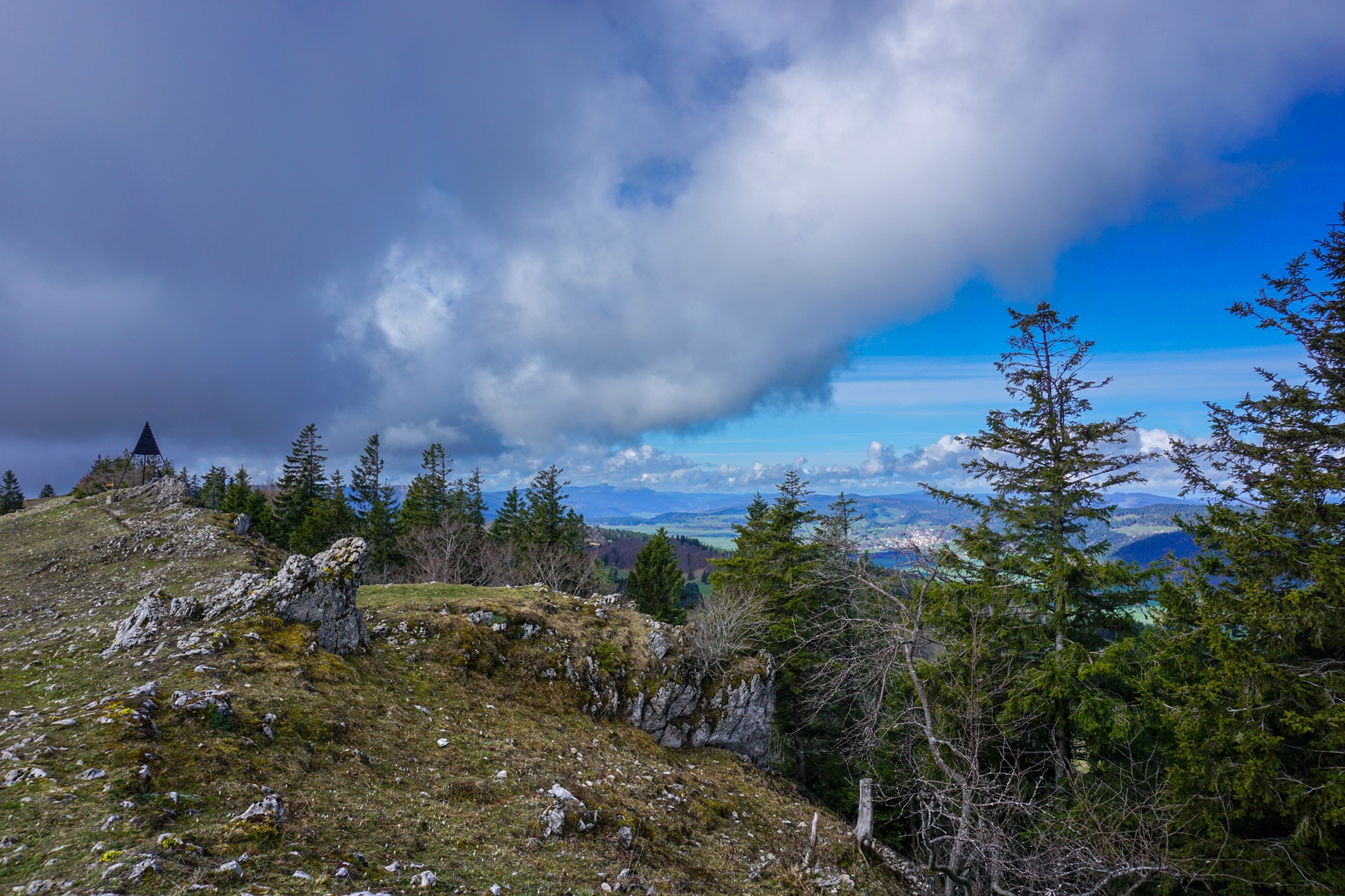
From La Sagne, I did not follow the Sentier des Statues (this will be for another time), but I wanted to go up the “ruz” of the Charbonnière stream. In doing so, I wanted to see the various bunkers that had been built during the last war, as there are quite a few in the area. After going up the combe, one reaches the chalet of the SCC de la Charbonnière before following a path that becomes fairly flat. Before arriving at the Grande Racine, I followed the steep paved road leading to the Grandes Pradières.
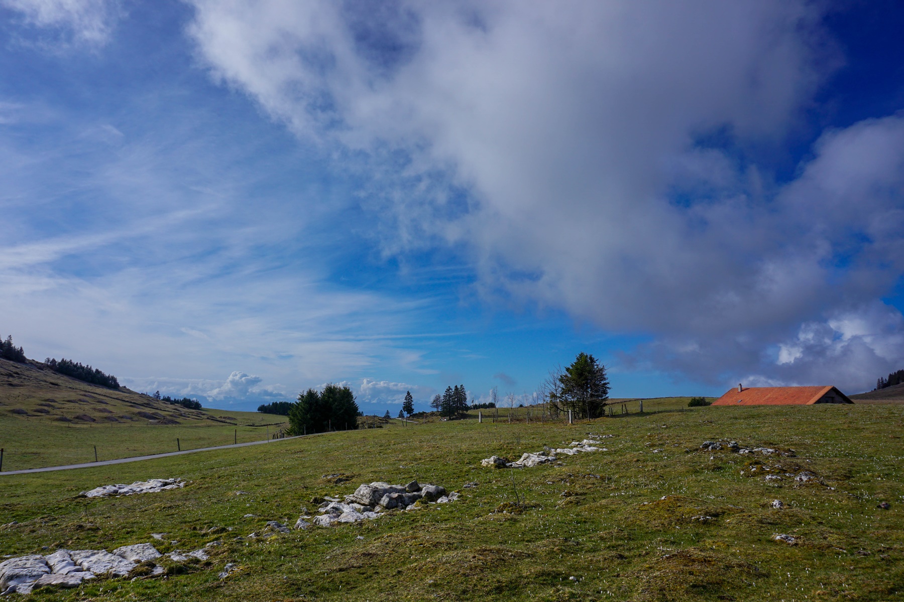
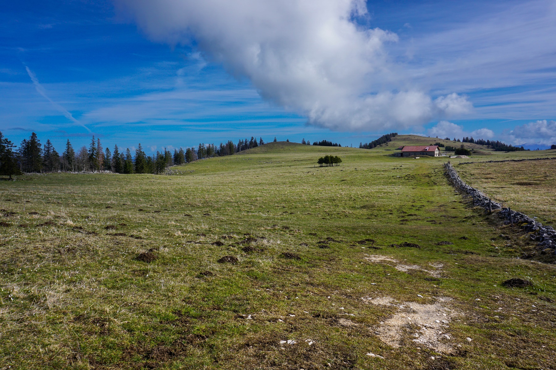
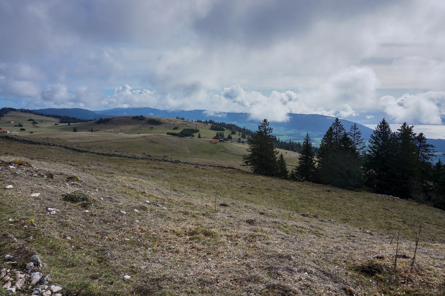
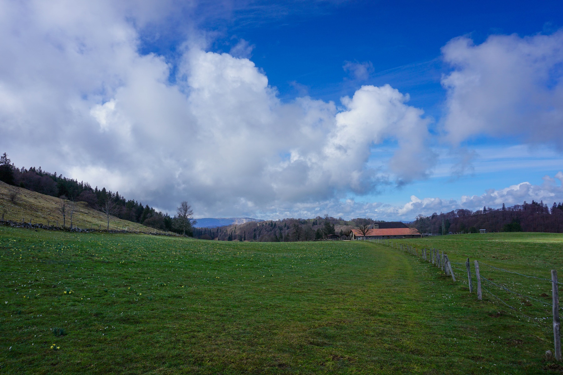
From the Grandes Pradières, I then followed the path of the Crêtes du Jura route leading to Mont Racine and which further down to the Grande Sagneule. It was only further down that I left this route to descend into the Mauvaise Combe. This is aptly named: it is indeed steep and monotonous. After crossing the Col de la Tourne road twice, one descends the Merdasson combe and despite the proximity of the road, one is not too disturbed by the noise, as it is above. However, there is no clear view until one has passed the village of Rochefort.
In conclusion, I would say this is a nice hike but towards the end becomes less scenic. Indeed, the Mauvaise Combe is very monotonous and leads to the Col de la Tourne road, which is quite busy. Next time, I will try to follow the ridge to Cucheroux Dessous, or even La Montagne Jacot, and take the path leading to the power line pylon on the ridge. From this one, the 2015 map indicated a small path descending towards the Mauvaise Combe and joining the marked path. It must still be identifiable on the ground and therefore traversable. I’ll go see it up close.
Itinerary: La Sagne – Pointe des Quignets – Grandes Pradières – Mont Racine – La Grande Sagneule – Mauvaise Combe – Rochefort – Chambrelien Distance: 13km Altitude gain: 450m Duration: 4 hours

 Previous Post
 Next Post