Another stage on the trail to Saint-Jacques is the one that connects Romont to Moudon.
Many people have certainly passed by these places, whether by car or by train, but it is worth doing this section on foot, because one discovers the landscapes in a different way. In addition, the two historic towns invite to a short visit.
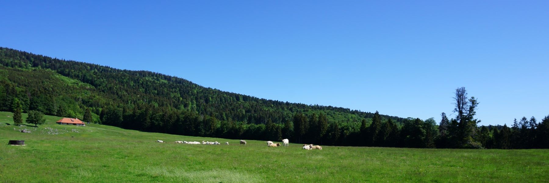
Leaving from Romont station, the path climbs somewhat towards the old medieval city before crossing towards the industrial area. After having crossed through the warehouses, it does not take long going up in the direction of Billens. Arrived in this village, the route follows the road in the direction of Hennens and one is sometimes disturbed by the passing by of a car. However, as one leaves Hennens, one follows uncrowded agricultural paths. One then goes up towards the hill on which stands a telephone antenna.
From this point, the view goes far, and one can clearly see the peaks of the Gantrisch region and the Fribourg Pre-Alps. Towards the east, one will notice a small, very isolated wooded summit. Although it is not remarkably high, its isolation makes it possible to clearly identify the Guggershorn, the known summit of the Schwarzenburg region. Further to the left, one will also notice the Tower of Ulmiz, dominating the region of Bern.
In the descent, one crosses the village of Lovatens and one then has a magnificent view of Lucens and its castle. In the background, one recognizes the Jura and the peaks of Suchet, Aiguilles de Baulmes and Chasseron. The descent continues as far as Curtille and from this village the route is practically flat, as it does not take long before following the Broye along the dikes.
On the other bank, one passes the remains of the Lucens Experimental Nuclear Power Plant. This Swiss-designed plant was the scene of a major nuclear accident, with part of the reactor core melting. This accident put an end to any ambition for nuclear power of an entirely Swiss design.
After having skirted the Broye for a while, it is not long before one reaches Moudon, not without having passed the aging cellars of Gruyère. The national map indicates “La Brasserie” as the name of the place. Have the cellars of an old brewery been reused for storing cheese? I have not been able to find a satisfactory answer.
Route: Romont – Billens – Hennens – Lovatens – Curtille – Moudon
Distance: 15Km
Elevation: 180m
Duration: 4h

 Previous Post
 Next Post