Nous avions entendu parler de ce sentier lors d’une excursion l’année d’avant dans le Gantrisch. En effet, nous avions rencontré à Erlenbach im Simmental, les mêmes personnes avec qui nous étions monté en bus à Gurnigel. Elles nous avaient raconté leur périple. C’est ainsi que nous est venu l’idée de suivre ce sentier d’altitude avec une différence cependant : nous n’avions pas vraiment envie de monter au Stockhorn, car trop fréquenté. Ainsi, nous sommes montés au Cheibehore à la place.
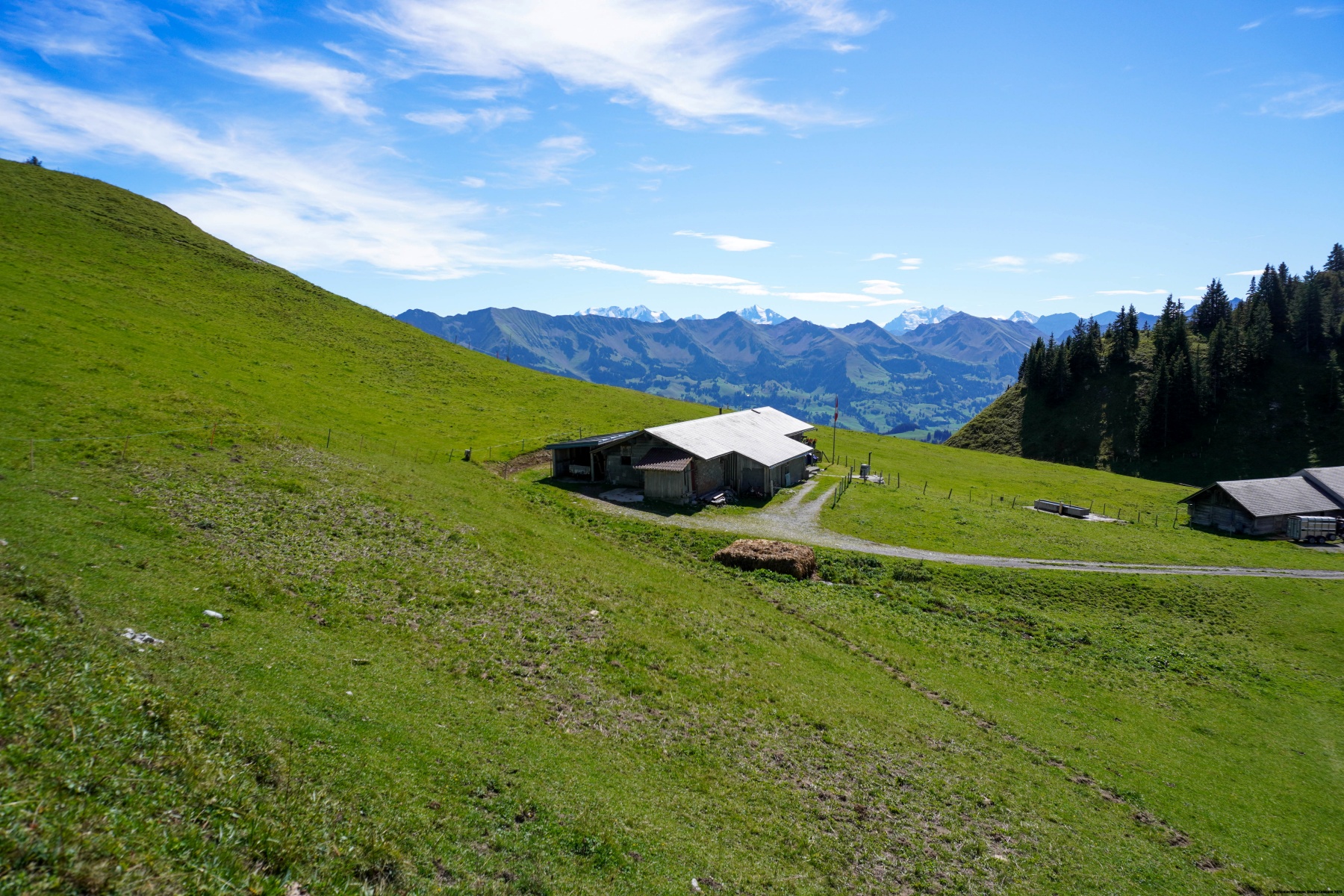
Au départ de Gurnigel, il s’agit d’abord de monter au Leiterepass. Pour cela, on emprunte d’abord la route d’alpage menant à Obernünene. Il faut faire un peu attention dans cette montée, car on est encore un peu froid, mais cela grimpe passablement. Jusqu’au Leiterepass, on croise encore passablement de gens, car la Via Ferrata du Gantrisch débute non loin, et passablement de personnes qui montent au sommet du Gantrisch.
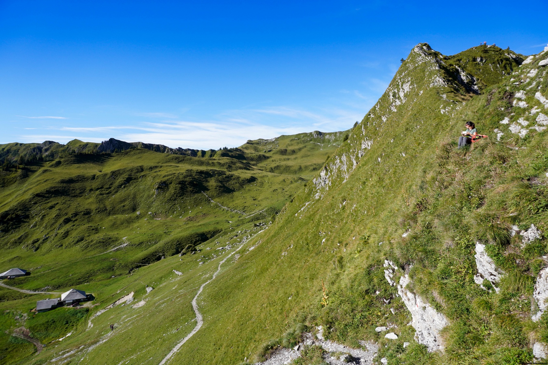
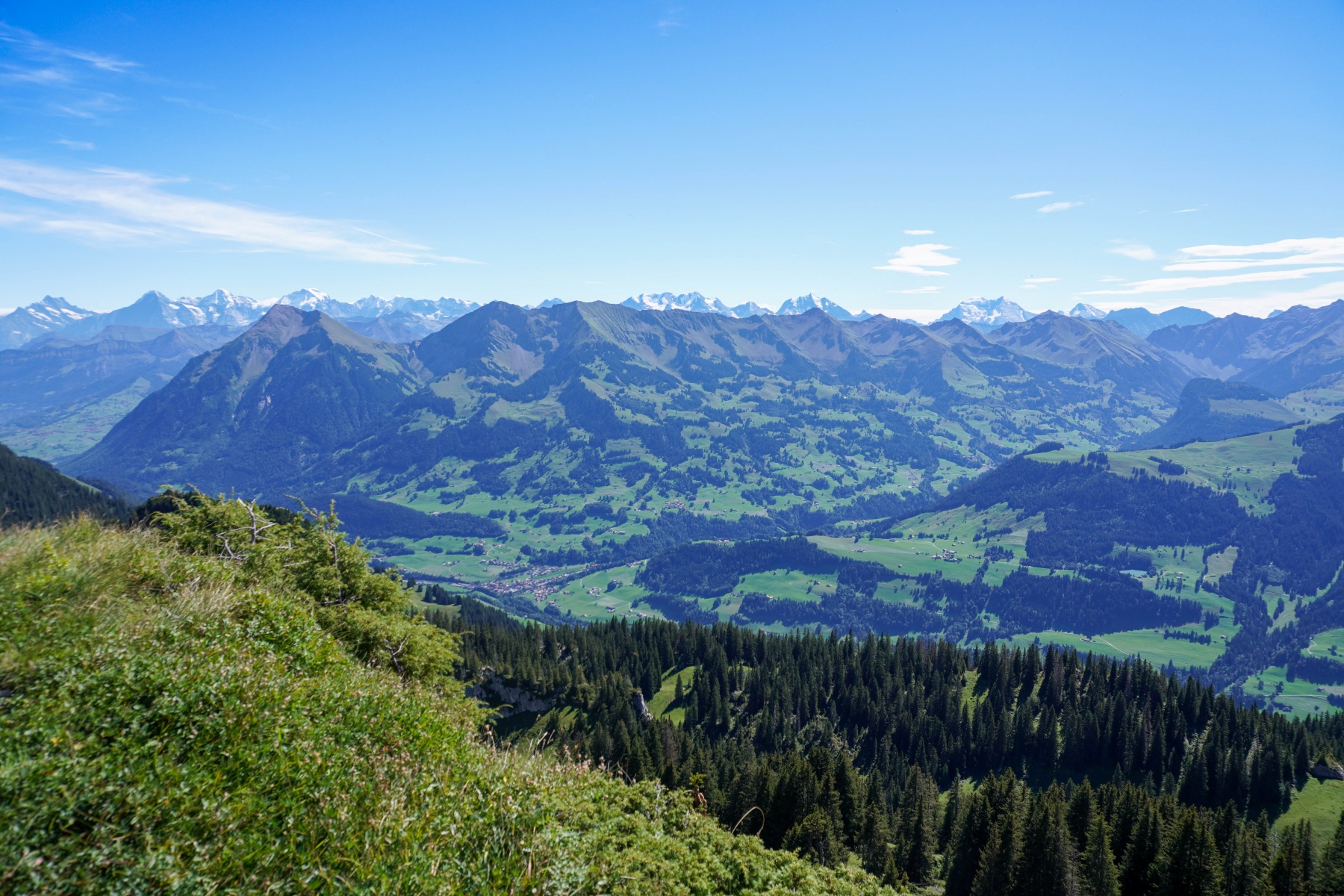
Sur l’autre versant du col, on suit le sentier qui parcourt tout le flanc de montagne jusqu’à l’Oberi Walalp. La distance qui sépare le Leiterepass de la Walalp peut paraître intimidante, mais en avançant tranquillement, cela se passe très bien. Par ailleurs, les points de vue changent à mesure que l’on avance. Ce faisant, on passe sous les sommets de la Grossi Nüneneflue et du Homad, sans oublier les deux petits sommets de Chatz u Mus (le chat et la souris).
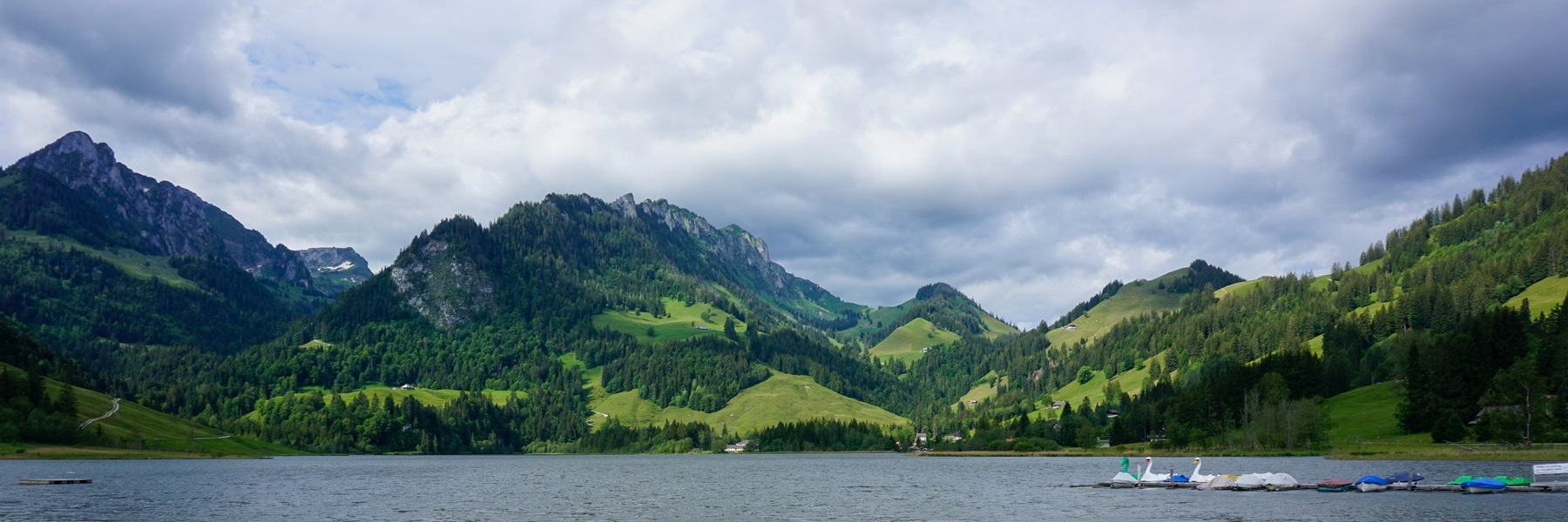
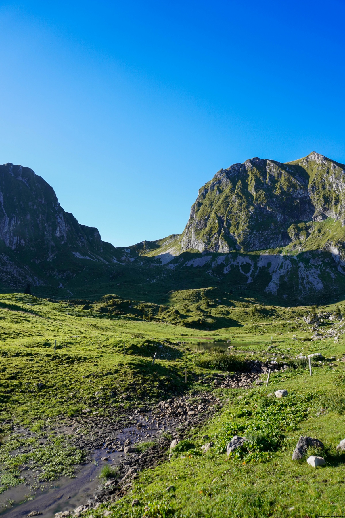
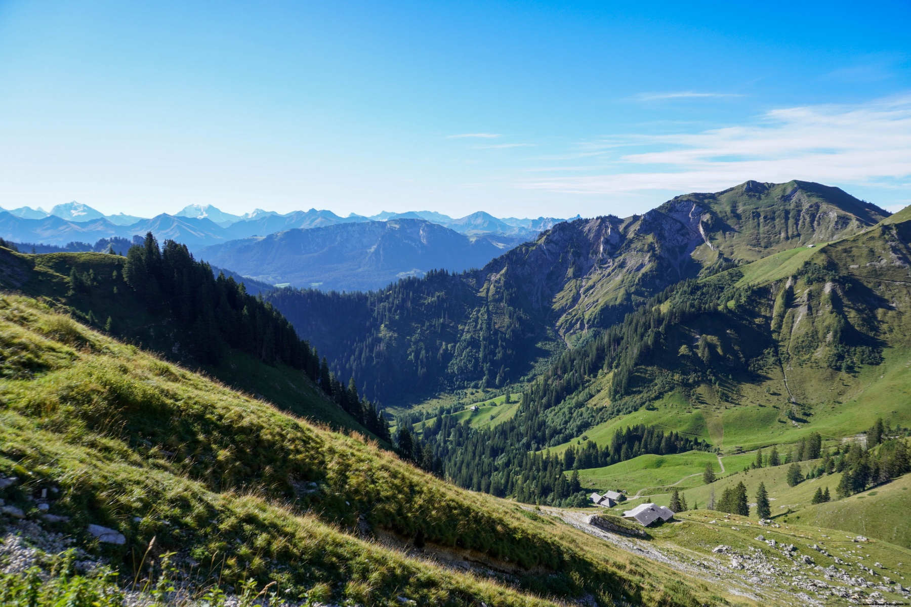
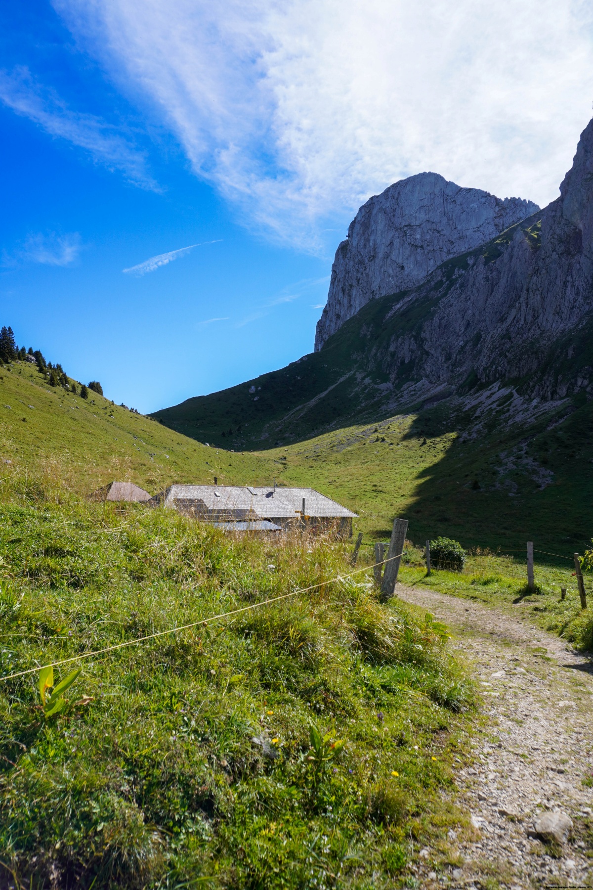
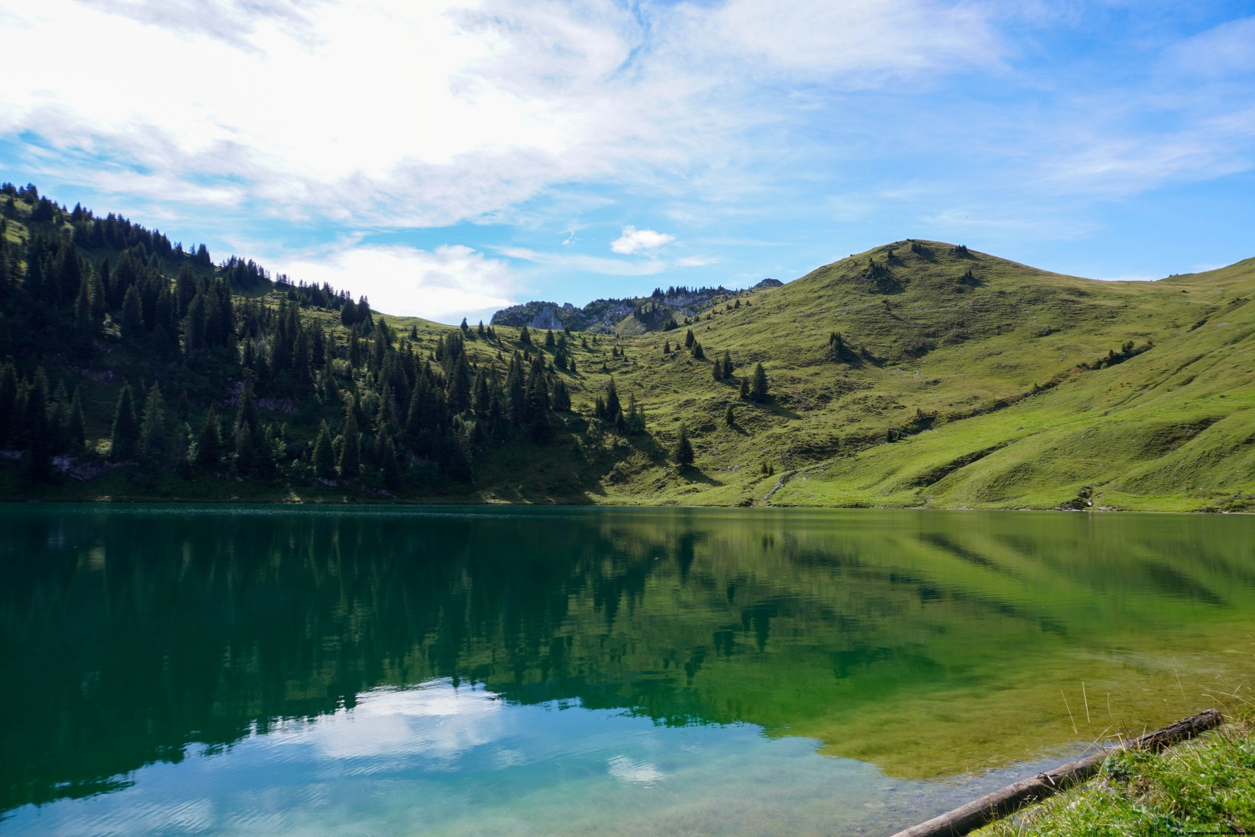
Depuis l’Oberi Walalp, il faut alors suivre le sentier du Bättelwägli. Celui-ci commence par une traversée avant de descendre en lacets pour passer sous un éperon rocheux. Après ce passage, on traverse à flanc de coteau pour atteindre un petit vallon menant à l’Oberstockesee. Là, le contraste est saisissant. Car si on était relativement tranquilles jusque-là, on se retrouve tout à coup avec passablement de monde autour du lac : ça crie, ça écoute de la musique.
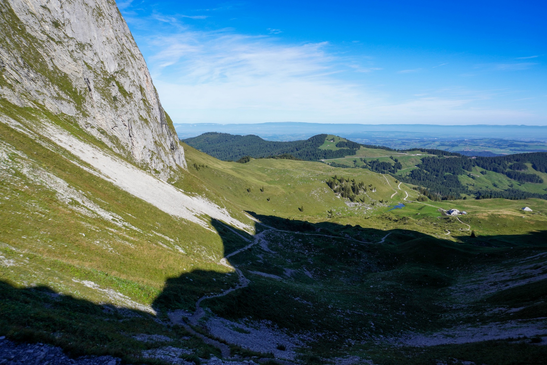
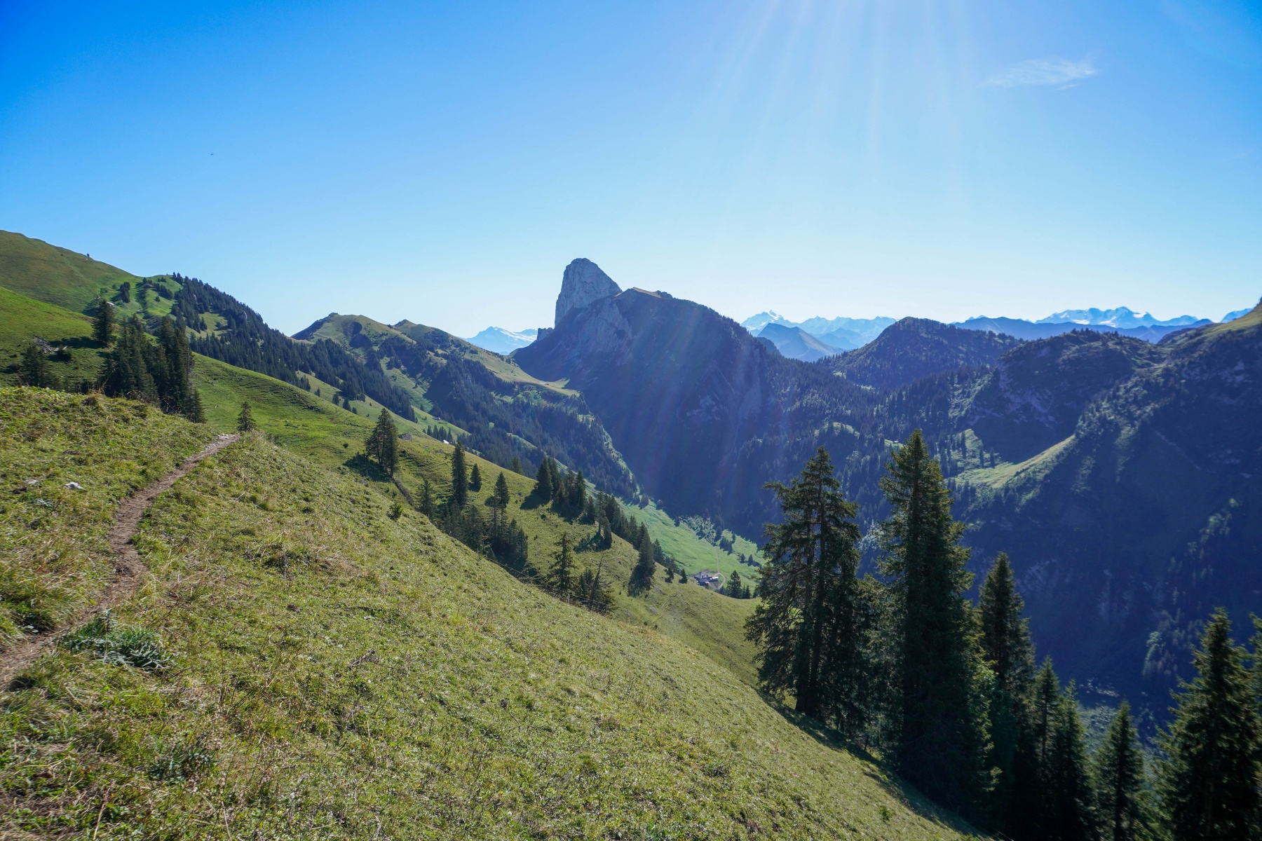
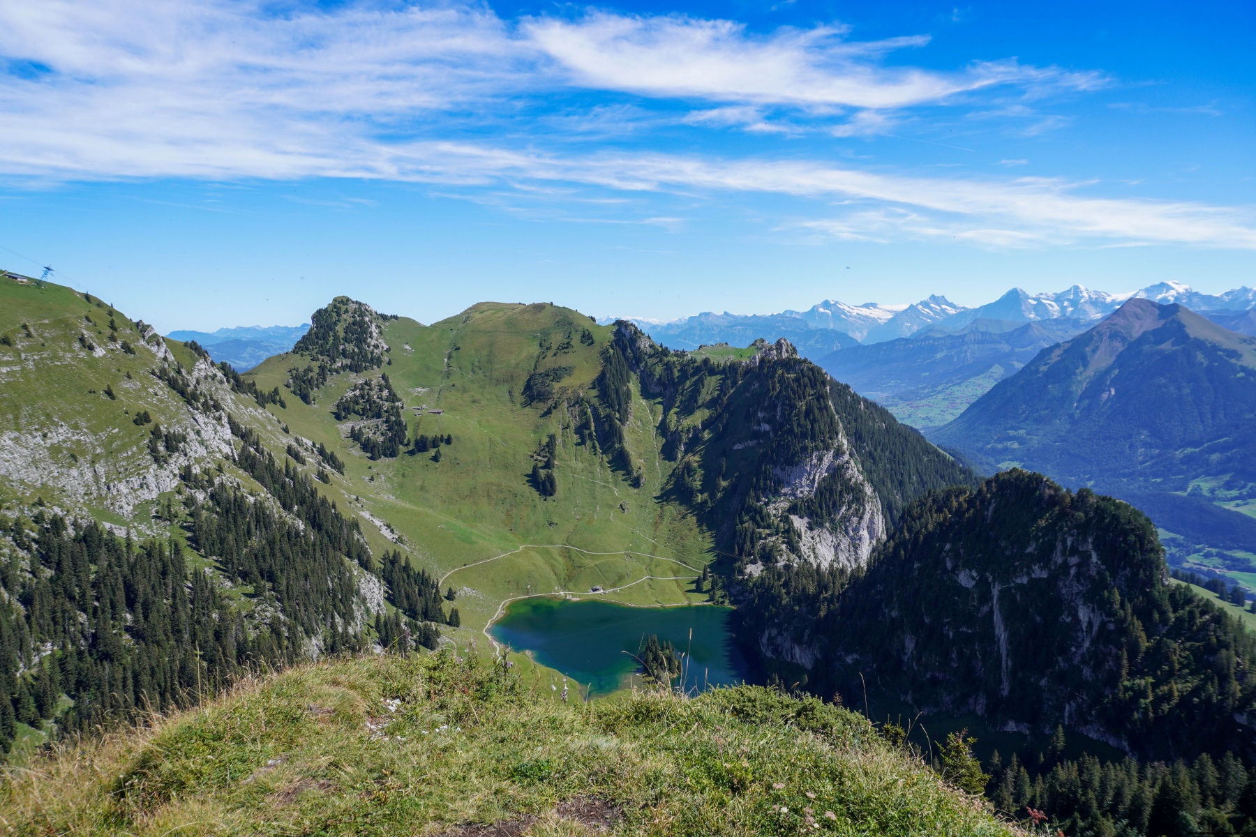
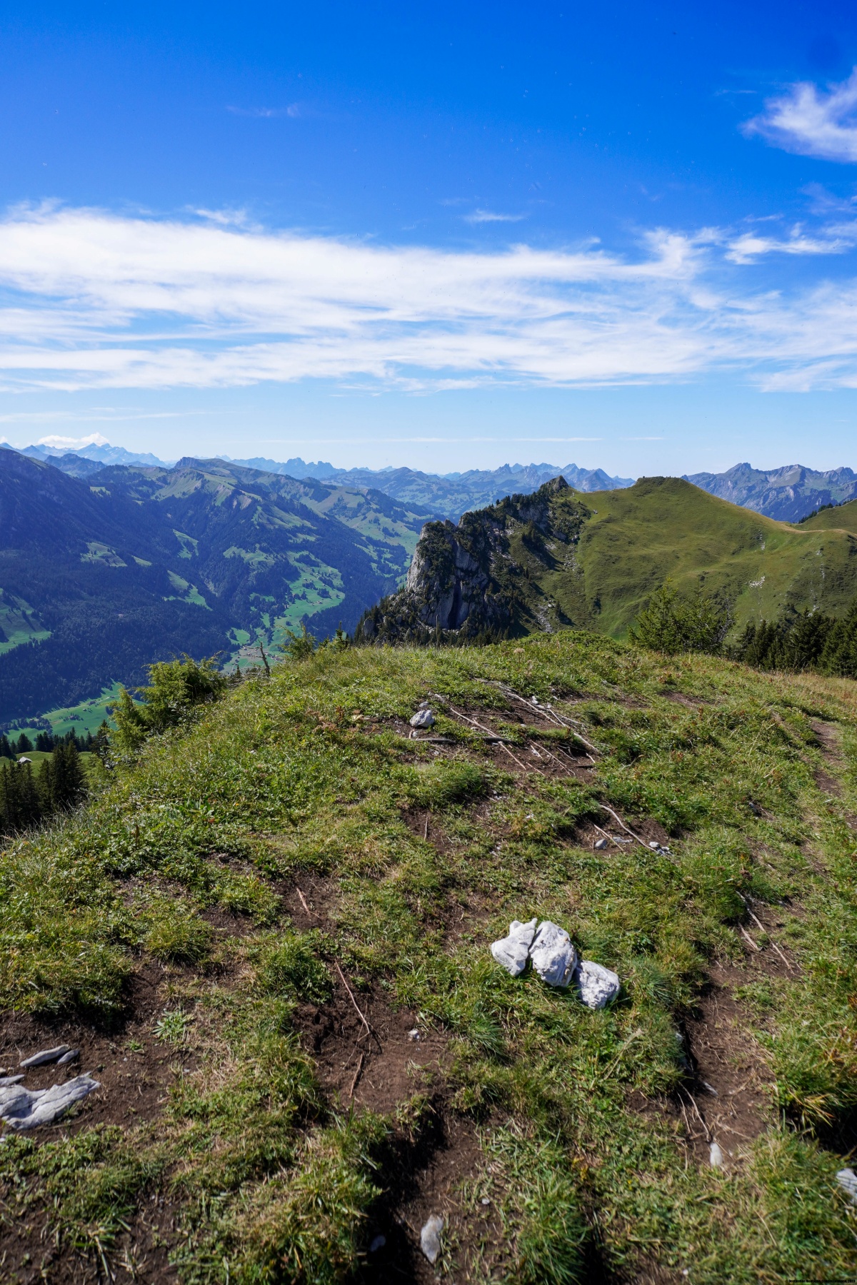
Depuis l’Oberstockesee, nous étions encore montés au Cheibehore, une pointe dominant le Hinterstockesee. On a alors une vue magnifique sur les Alpes Bernoises et sur le Stockhorn voisin, sans être gêné par la foule. La montée est parfois un peu désagréable, car on doit parfois passer à travers les sapins. La descente se fait le long d’une trace raide dans une pente parsemée de rochers. Il est intéressant de noter que le sentier de descente depuis le Cheibehore vers Chrindi ne figure comme sentier balisé que depuis peu sur la carte. En 2023, il n’y était pas.
A Chrindi, nous avions pris le téléphérique qui descend à Erlenbach im Simmental. Il est assez surprenant alors de côtoyer dans le téléphérique des pêcheurs et des personnes n’étant pas forcément équipées pour la montagne. Il faut dire que le tour du Hinterstockesee ou même l’ascension du Stockhorn sont du niveau d’une promenade.
Itinéraire : Gurnigel Wasserscheidi (bus) – Obernünene – Leiterepass – Schiterwang – Oberi Walalp – Bättelwägli – Oberstockesee – Cheibehore – Chrindi (téléphérique)
Distance : 15,2Km
Dénivellation : 1010m
Durée : 5h30

![[:fr]Paysage de montagne[:en]Mountain scenery[:de]Berglandschaft[:]](https://destination-montagne.ch/wp-content/uploads/2024/09/240906_Creux_Van_015-150x150.jpg) Article précédent
Article précédent![[:fr]Paysage de montagne[:en]Mountain scenery[:de]Berglandschaft[:]](https://destination-montagne.ch/wp-content/uploads/2024/09/240914_Tuefelsschlucht_037-150x150.jpg) Article suivant
Article suivant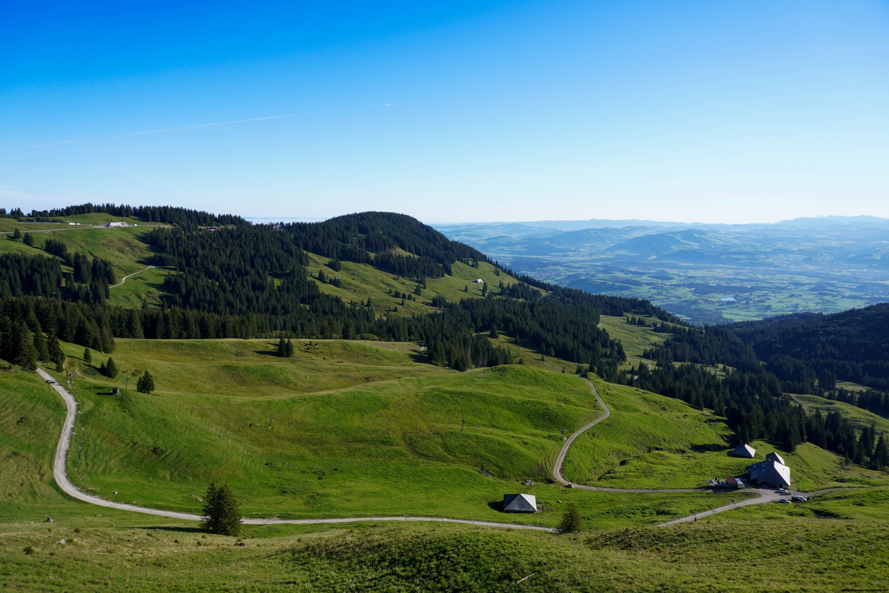