Cela faisait longtemps que nous avions envie d’aller faire une randonnée du côté de la colline de Jolimont, au bout du Lac de Bienne. En effet, cette colline se distingue très bien des autres se trouvant aux alentours, dont le Mont Vully. Toutefois, aucun itinéraire de grande randonnée parcourt cette colline, même si un certain nombre de sentier balisés s’y trouvent. Ainsi, nous avions décidé de traverser la colline du Jolimont en partant d’Anet pour rejoindre la gare du Landeron.
Depuis la gare d’Anet, le sentier balisé traverse d’abord le village avant de traverser les champs pour rejoindre la forêt près de Schalterain. On marche alors entre les cultures et les bois avant de descendre à travers bois vers la Ruine de Hasenburg. Cette ruine, dont il ne reste pratiquement plus rien, les pierres ayant été utilisées pour la construction des villages environnants, se trouve sur une imposante motte féodale. La grande dimension de cette ruine en fait une des plus grande de Suisse. On ne sait pas trop à quel moment ce château a été abandonné, mais la famille von Fenis, propriétaire de celui-ci s’est éteinte au 13ème siècle.
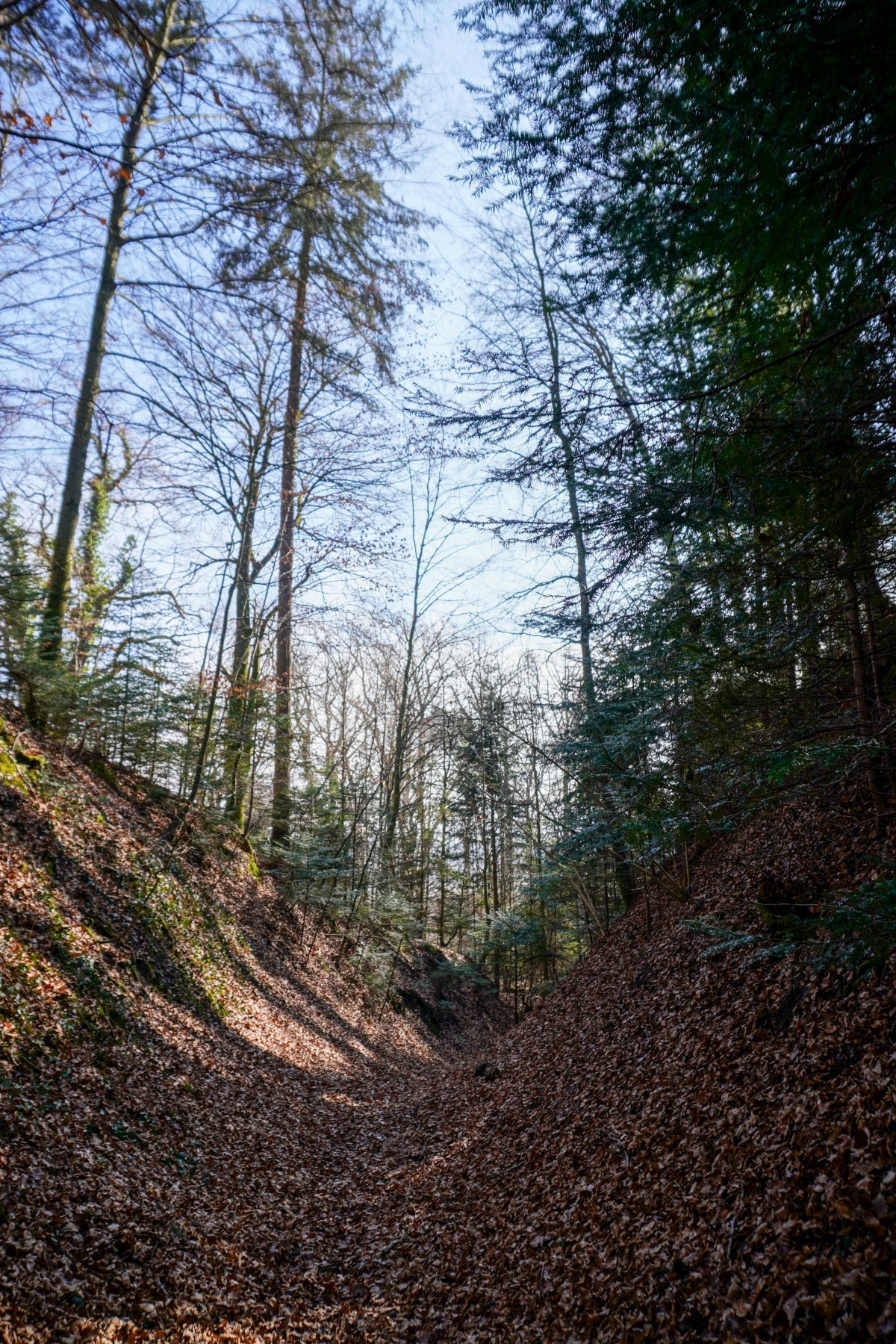
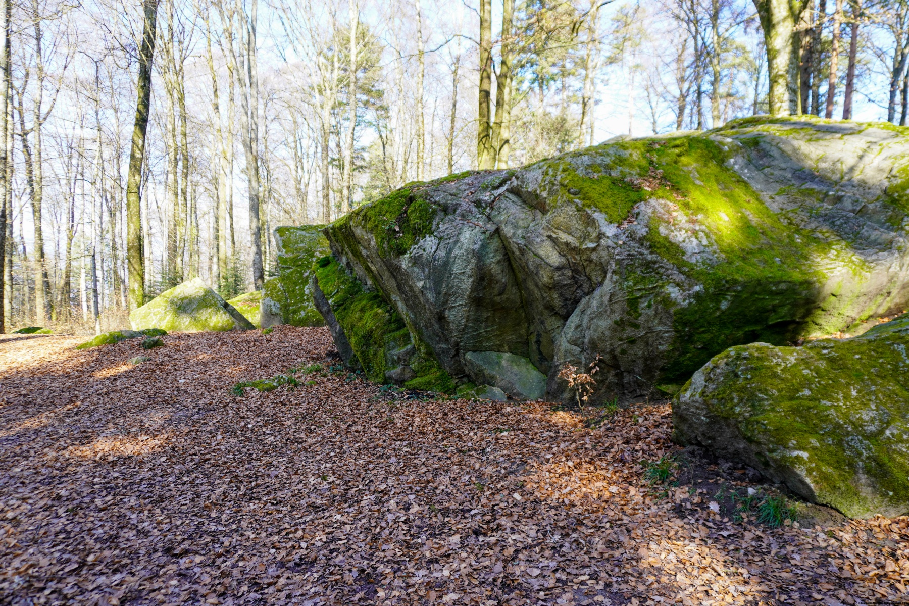
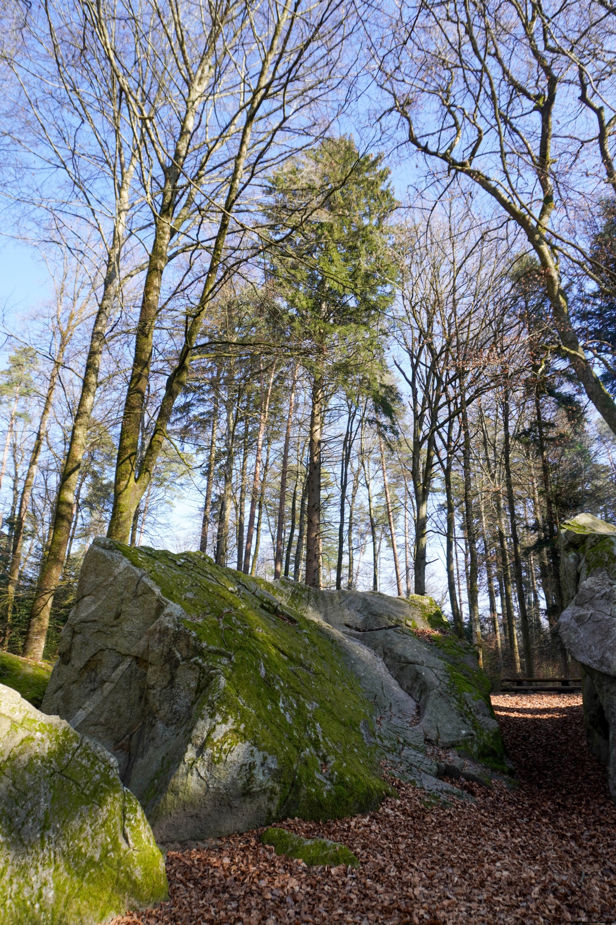
Après avoir passé à côté de la Ruine de Hasenburg, nous avons traversé la plaine se trouvant entre le Schalterain et le Jolimont. On traverse alors des champs en suivant des chemins agricoles pour rejoindre le groupe de maisons de Mullen. Depuis celles-ci, nous étions partis à Tschugg pour suivre un sentier montant assez raide à travers bois pour rejoindre le sommet de Jolimont. Sur l’autre versant, avant de descendre, on passe devant un étonnant groupe de blocs erratiques de granit du Val de Bagnes : la Tüfelsburdi (le fardeau du diable). On considère cet endroit comme un lieu de force.
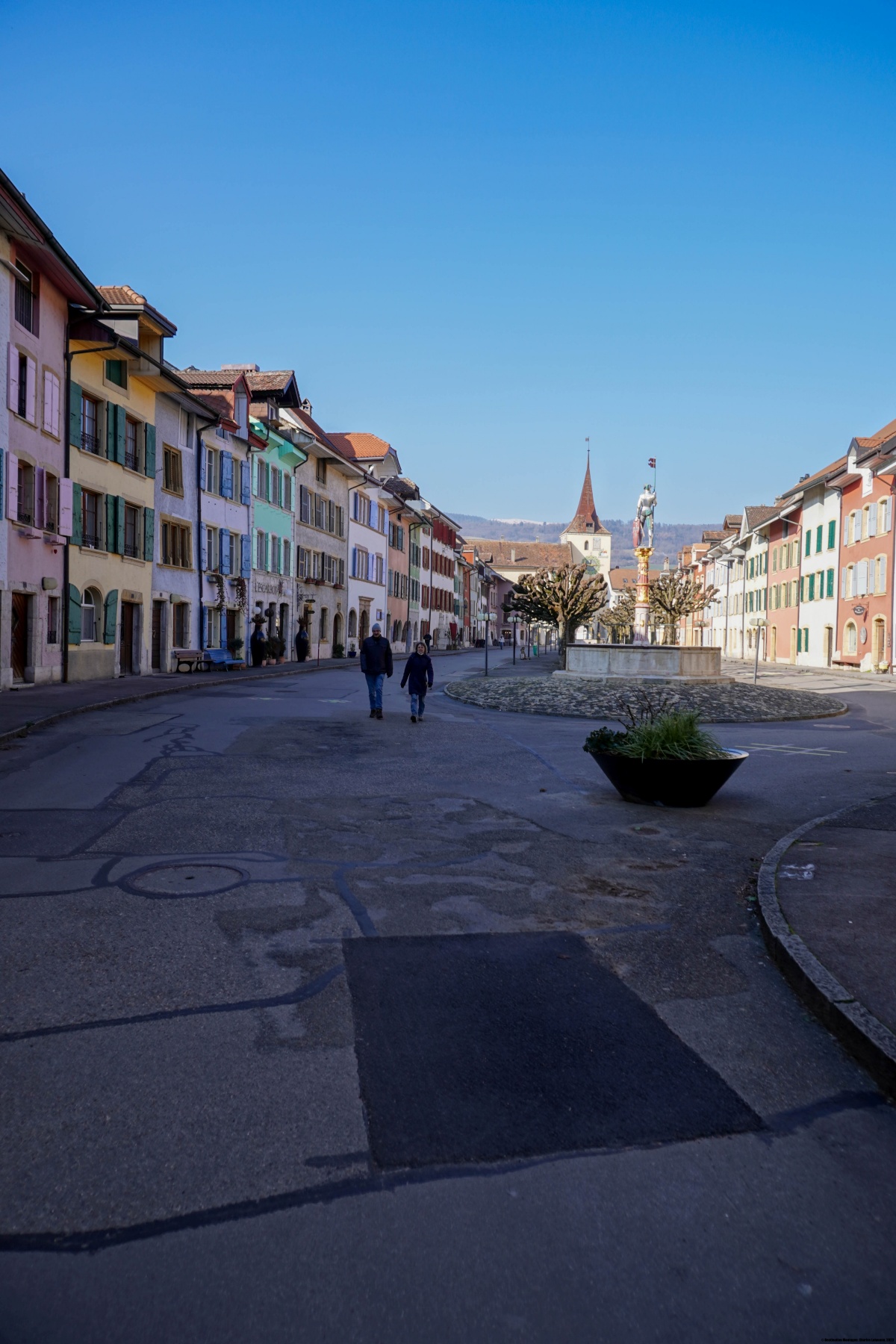
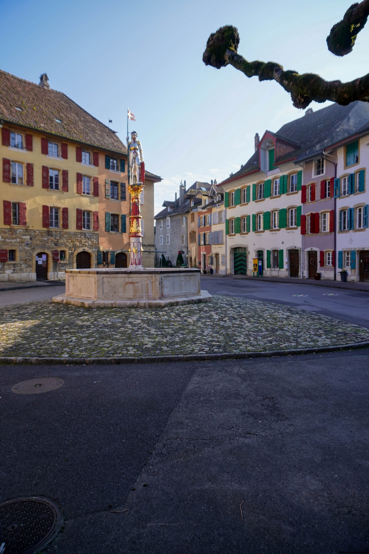
Après la descente, on se retrouve dans la plaine traversée par la Thielle et dans laquelle se trouve le très beau bourg du Landeron. Le seul aspect désagréable est que l’on doive suivre la route assez fréquentée conduisant d’Erlach au Landeron.
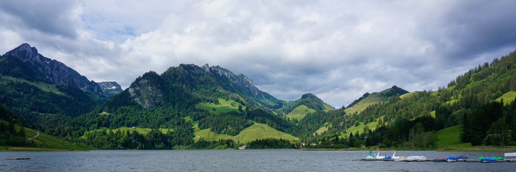

![[:fr]Paysage de montagne[:en]Mountain scenery[:de]Berglandschaft[:]](https://destination-montagne.ch/wp-content/uploads/2025/05/250209_Biel-Twann_006-150x150.jpg) Article précédent
Article précédent![[:fr]Paysage de montagne[:en]Mountain scenery[:de]Berglandschaft[:]](https://destination-montagne.ch/wp-content/uploads/2025/05/250223_Landeron-Neuveville_004-150x150.jpg) Article suivant
Article suivant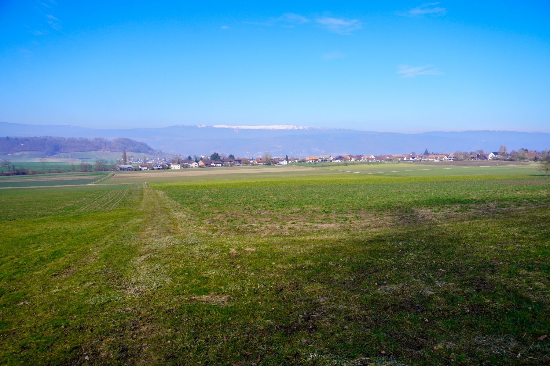