Là encore, cela faisait très longtemps que j’avais dans l’idée de suivre l’étape du chemin de Saint-Jacques entre Schwarzenburg et Fribourg. La raison essentielle est que l’on passe par le fameux chemin creux taillé dans le grès et permettant de descendre au bord de la Singine. Sur les bords de cette portion de chemin sont taillées des marches qui permettaient de mener les chevaux sans être gêné par ceux-ci. Autant dire que cette portion de chemin figure à l’inventaire des voies historiques de la Suisse. L’entier de l’itinéraire traverse à la majorité des zones rurales. On ne se trouve donc pas en montagne, et le parcours est parfois un peu monotone. Toutefois, l’arrivée sur la ville de Fribourg est absolument magnifique.
Le jour où j’avais entrepris cette randonnée, il avait neigé jusqu’en plaine quelques jours auparavant. N’ayant pas reçu beaucoup de neige dans les montagnes neuchâteloises, je m’étais dit qu’en descendant en altitude, ce serait meilleur. Erreur grave : il y avait plus de neige à Berne qu’à La Chaux-de-Fonds. Néanmoins, comme j’avais décidé d’effectuer cette randonnée, je m’étais mis en route.
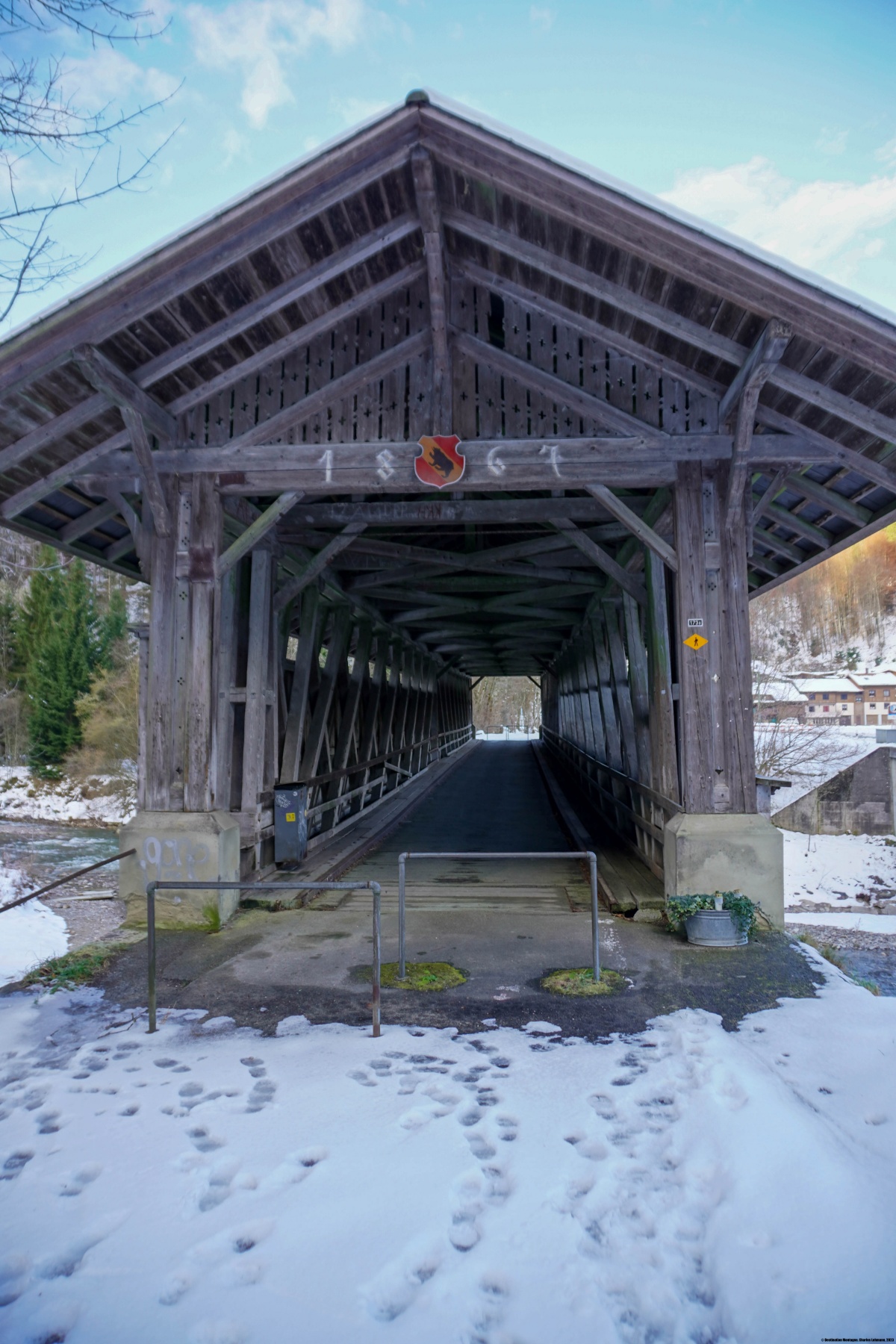
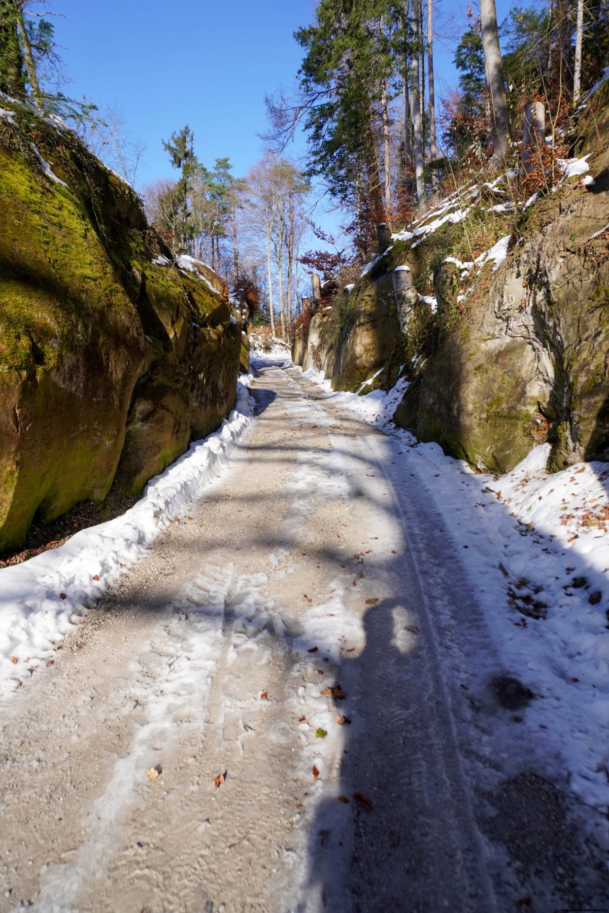
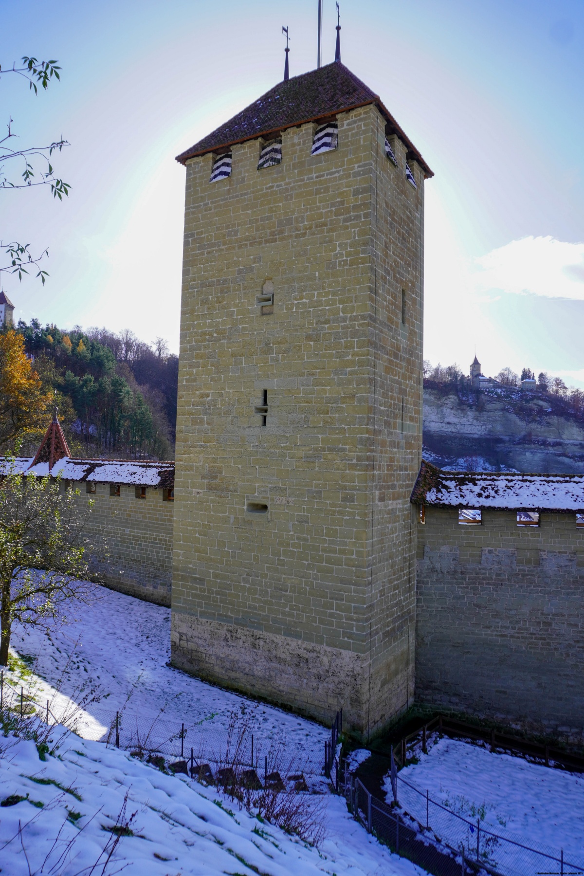
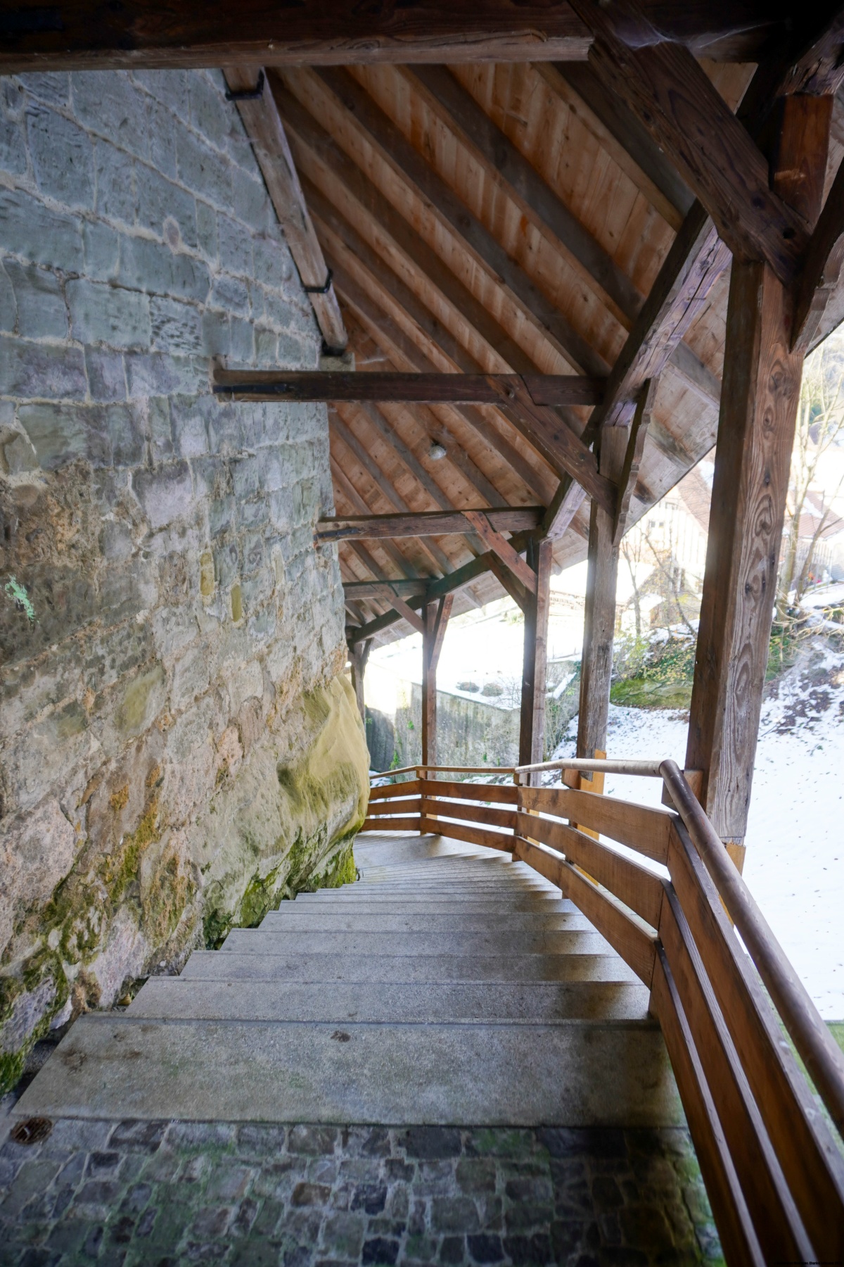
Depuis Schwarzenburg, il s’agit d’abord de traverser un petit plateau avant de descendre sur la Singine. Au bout du plateau, on descend le long d’une route goudronnée assez raide pour atteindre le fond d’une cuvette à partir de laquelle le chemin descend de manière raide en direction de la Singine. Au début de la descente, le sentier est aménagé avec des escaliers. Plus bas, on aborde le cheminement historique entre les parois de grès. Une fois arrivé au bord de la Singine, on remonte un bout le long de la rive de cette rivière avant d’atteindre une route. Cette route traverse la Singine pour rejoindre le territoire de Fribourg à Sodbach.
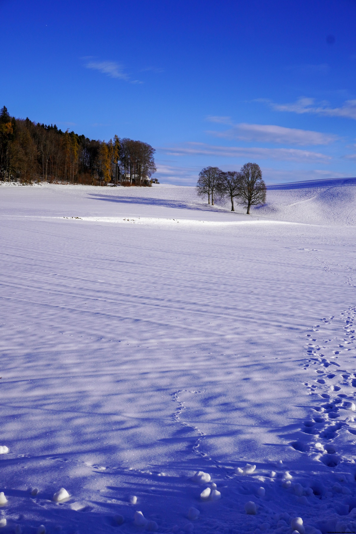
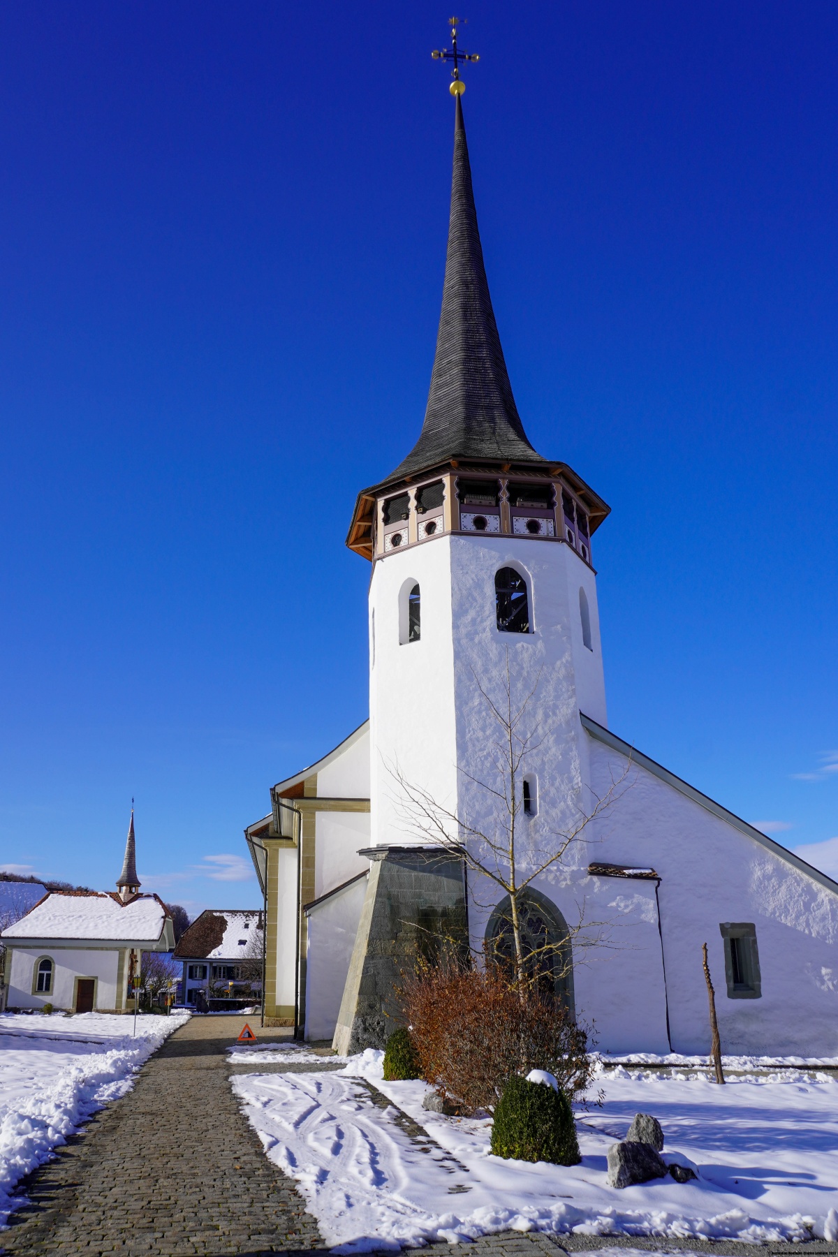
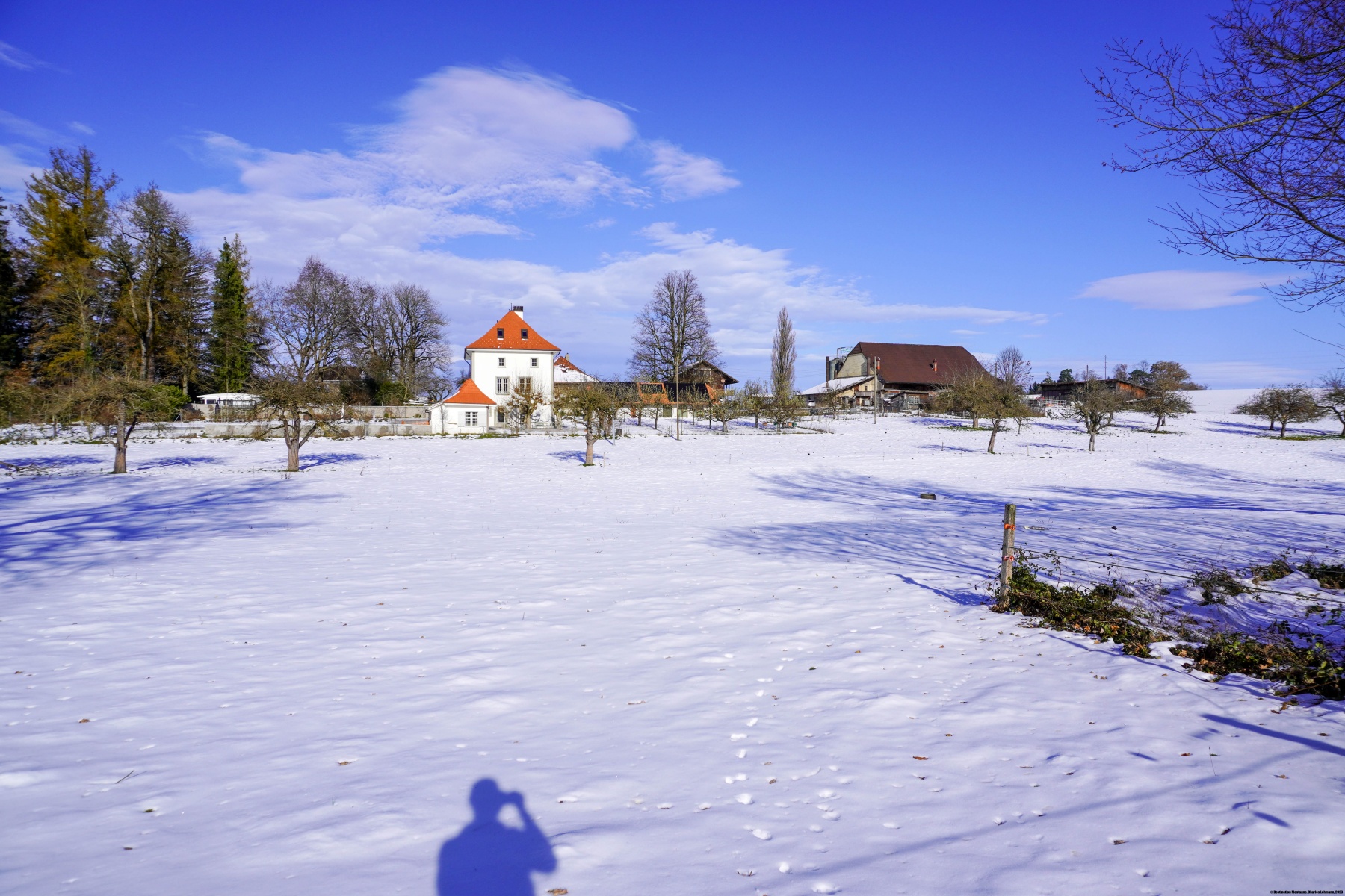
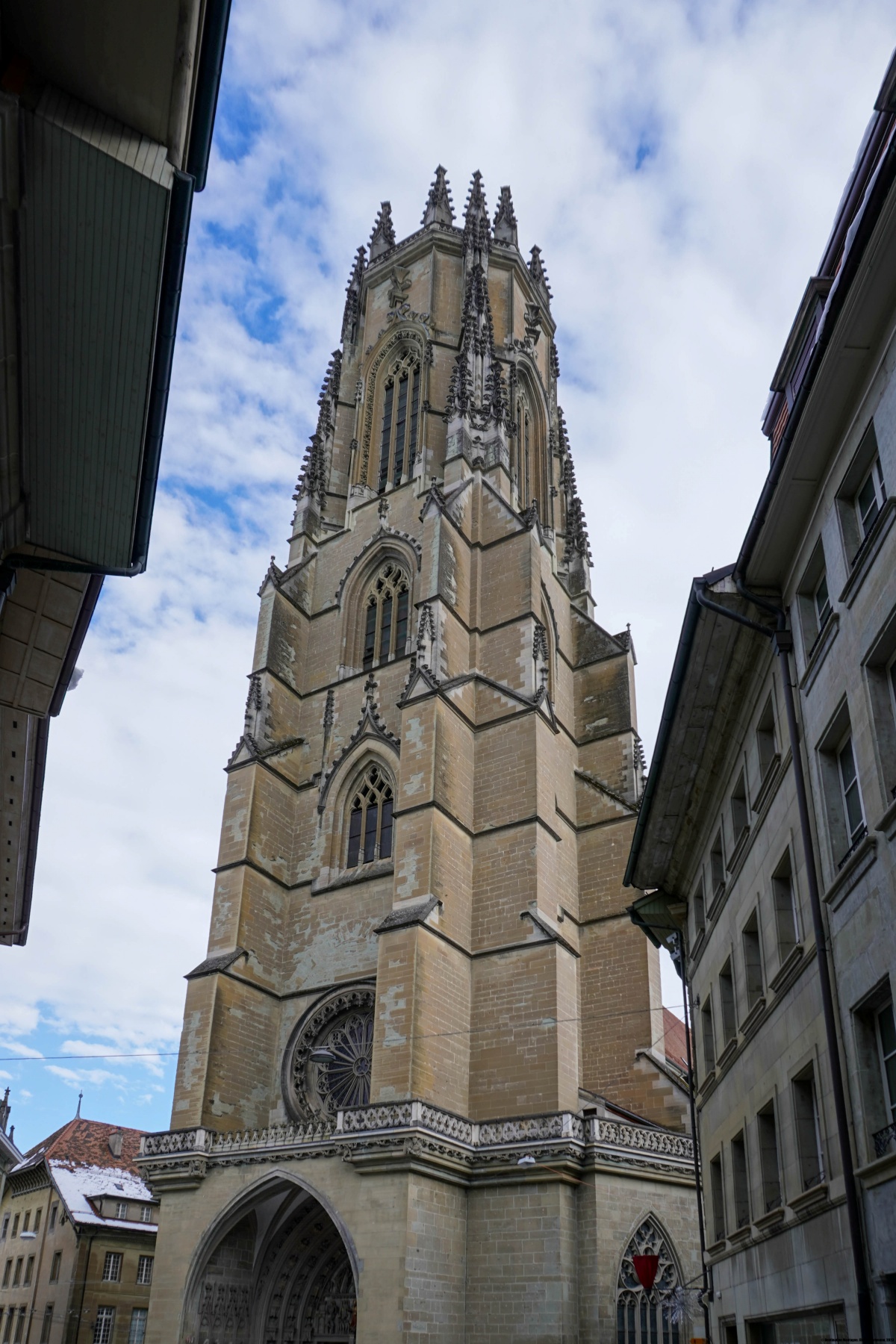
La suite du cheminement nous fait passer par Heitenried, Sankt Antoni, Tafers pour rejoindre finalement Fribourg. Certains tronçons sont très monotones et bruyants, notamment entre Sankt Antoni et Tavel. Toutefois, une grande partie de l’itinéraire évite les axes très fréquentés. La monotonie de certains tronçons est largement compensée par certains points de vue, en particulier, l’arrivée dans la ville de Fribourg.
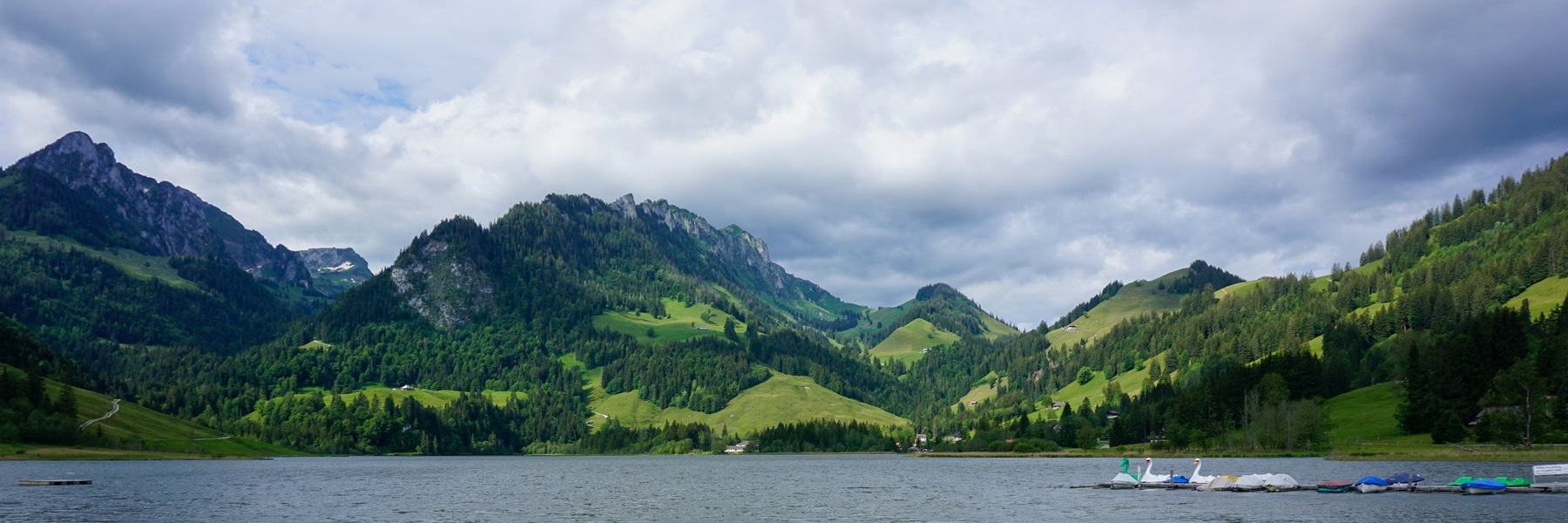

![[:fr]Paysage de montagne[:en]Mountain scenery[:de]Berglandschaft[:]](https://destination-montagne.ch/wp-content/uploads/2025/05/241111_Beichle_036-150x150.jpg) Article précédent
Article précédent![[:fr]Paysage de montagne[:en]Mountain scenery[:de]Berglandschaft[:]](https://destination-montagne.ch/wp-content/uploads/2025/05/241209_Combe-Valanvron_001-150x150.jpg) Article suivant
Article suivant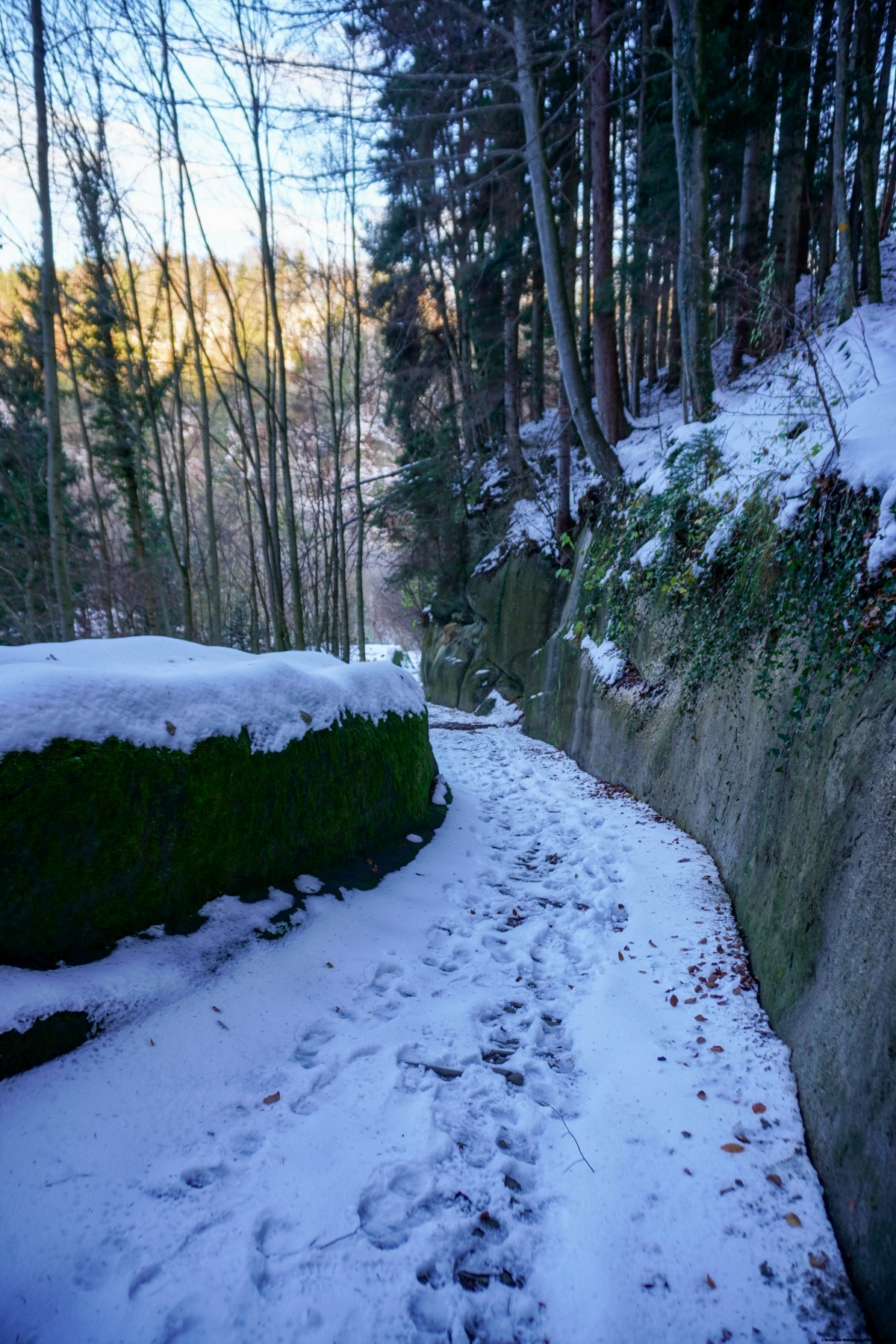