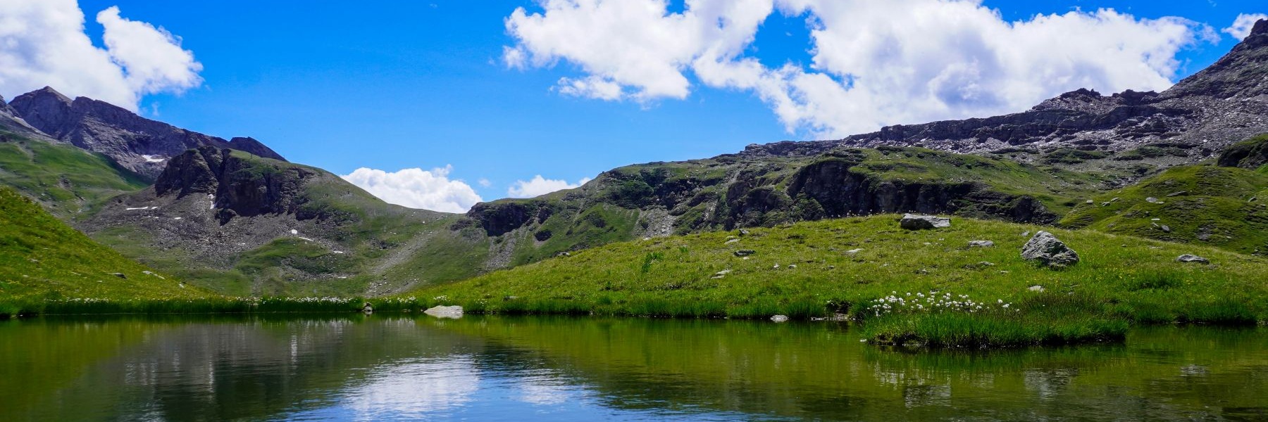
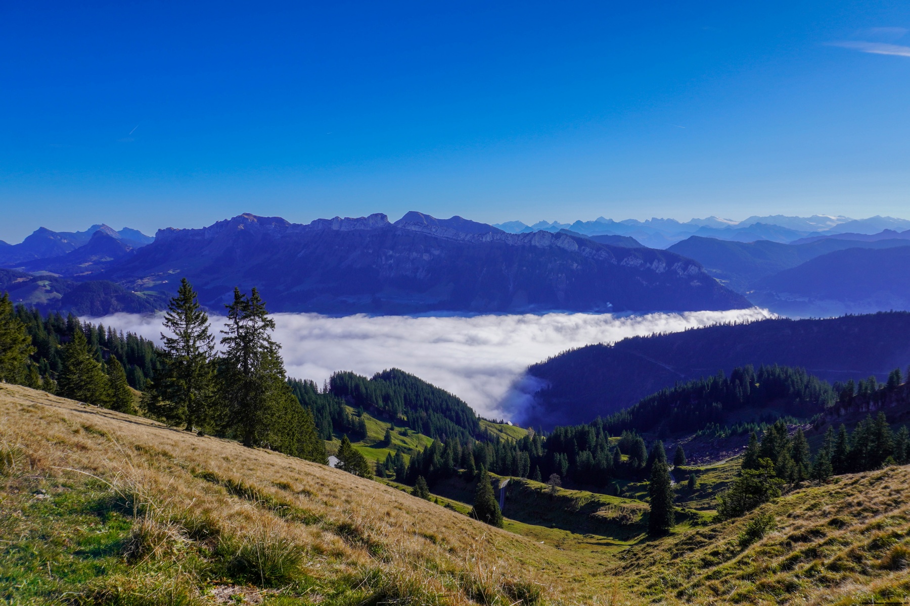
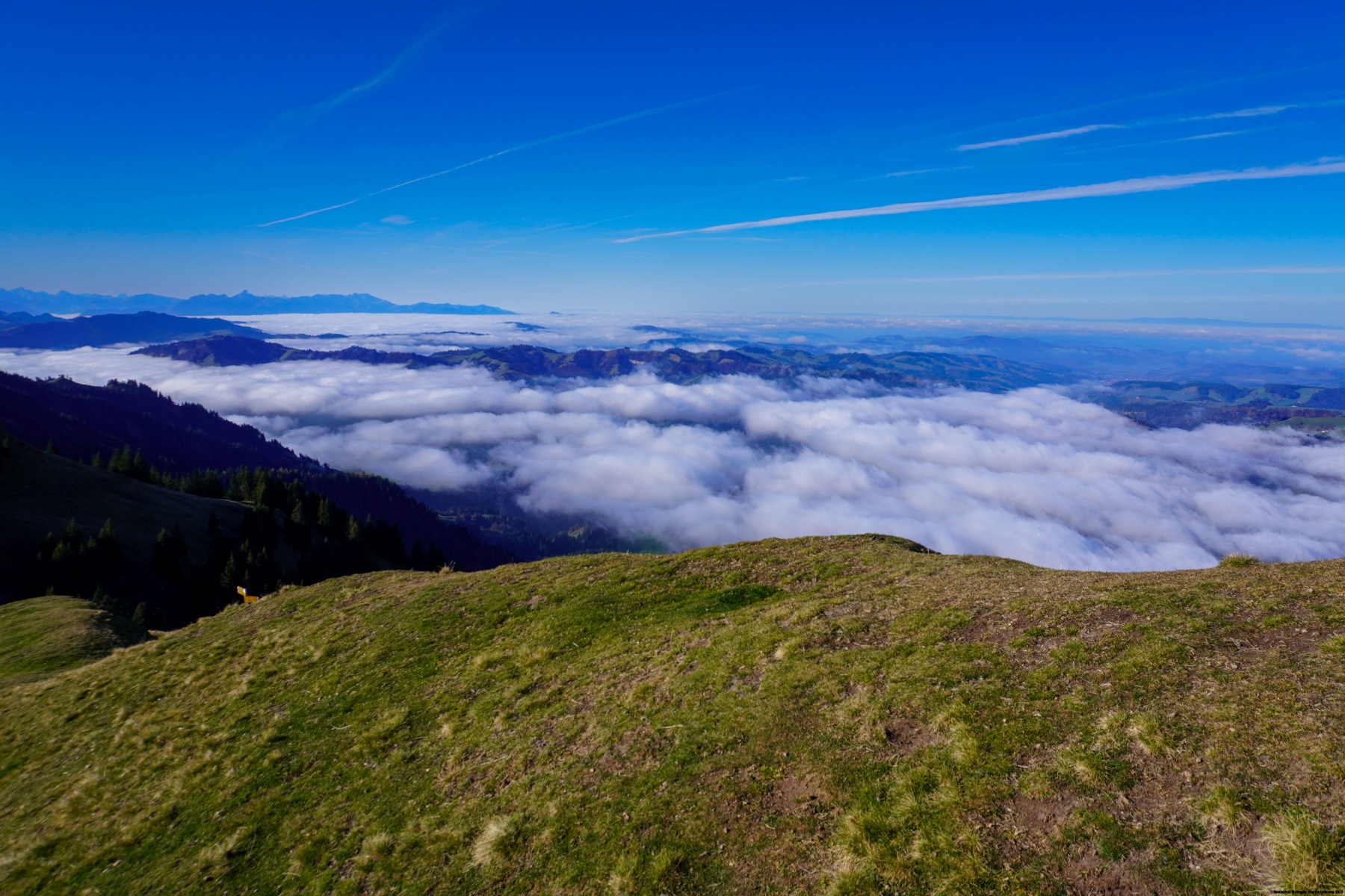
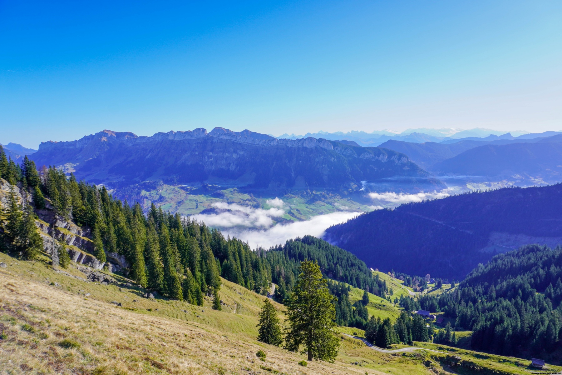
Dans l’Entlebuch existent quelques sommets sous forme de longues crêtes. On peut mentionner la Schrattenfluh et la Schafmatt. Mais la Beichle est certainement un de ces sommets les plus spectaculaires, car proche du fond de la vallée. En effet, celle-ci ne se trouve pas dans l’alignement de la Schrattenfluh et de la Schafmatt, mais devant cet alignement. La conséquence est que même si l’aspect de la Beichle est très similaire aux autres sommets, elle est beaucoup plus jeune, géologiquement parlant. En effet, la Beichle est formée de conglomérat, tandis que la Schrattenfluh est formée de calcaire. La Beichle se trouve parallèlement au fond de la vallée de la Wiss Emme entre Escholzmatt et Schüpfheim.
Il m’était souvent arrivé de passer au pied de la Beichle lorsque je me rendais à Lucerne, soit en automobile, soit en train et ce sommet me fascinait. Cela faisait donc longtemps que j’avais dans l’idée de grimper ce sommet. Ici, la saison s’avançait de plus en plus et il aurait été possible que l’entreprise ne soit rapidement plus possible à cause de la neige. C’est pourquoi lorsque les prévisions météo annonçaient du beau, avec toutefois du stratus, j’en ai profité de faire le déplacement.
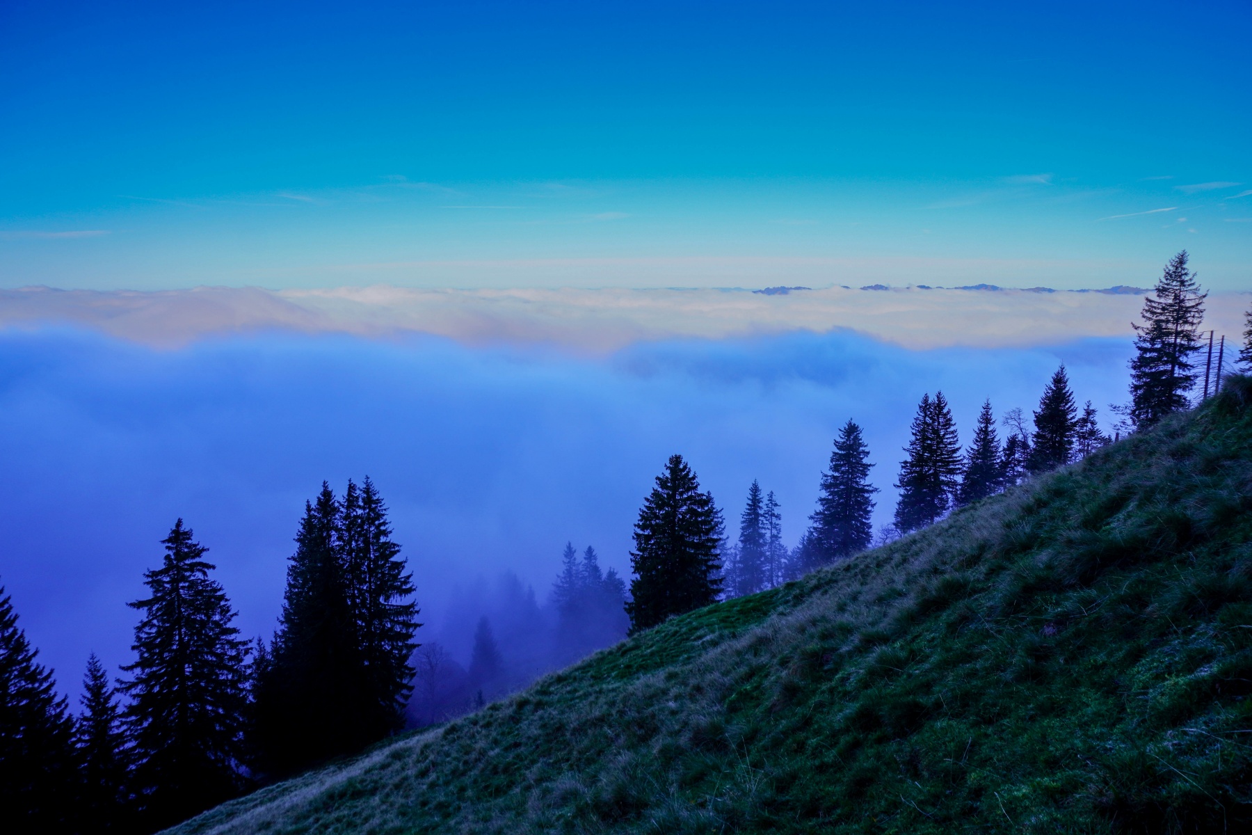
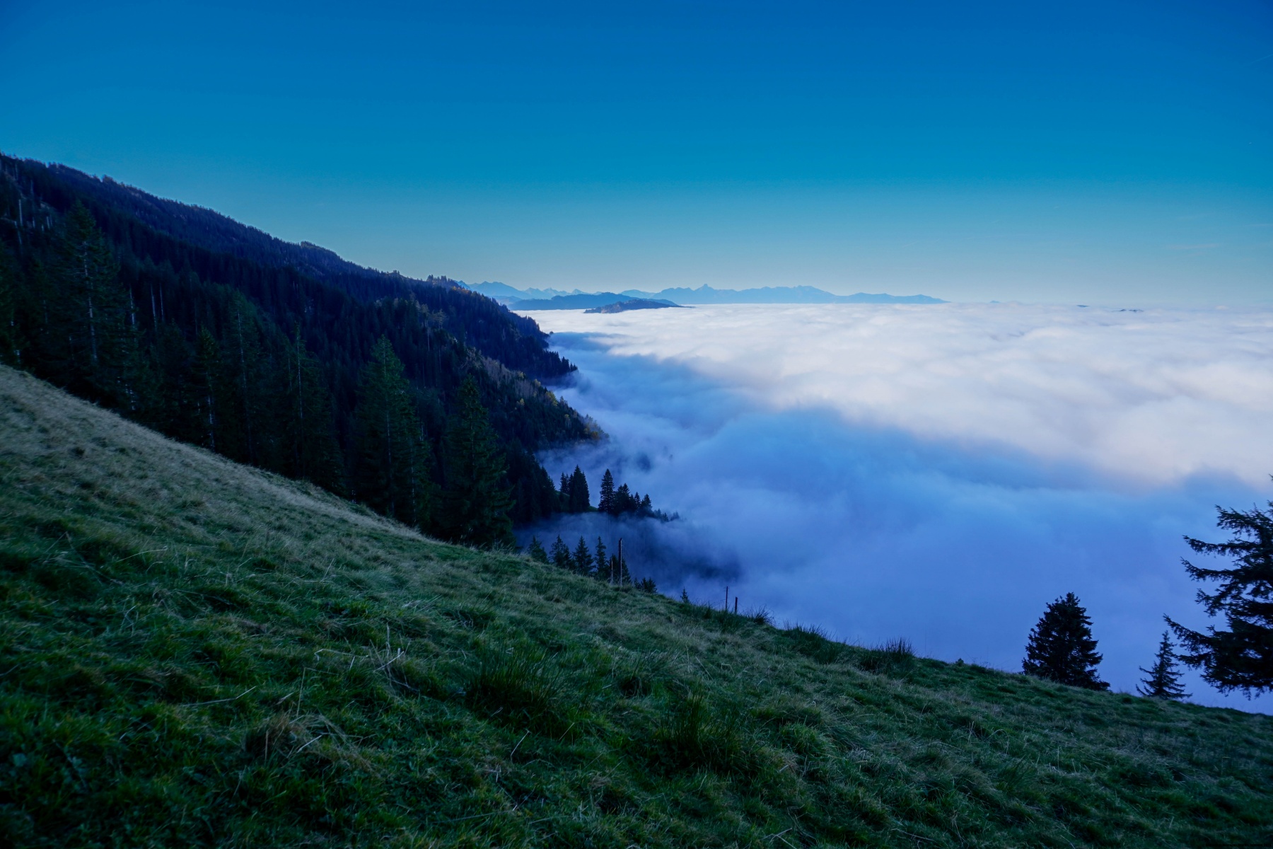
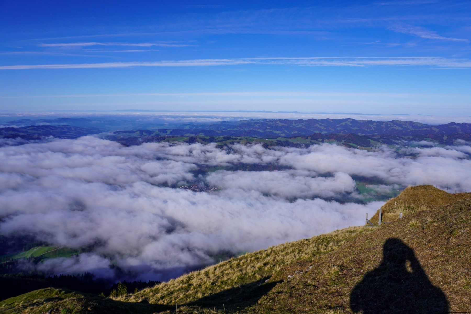
Depuis la gare d’Escholzmatt, il faut d’abord suivre un bout de route goudronnée sur un peu moins d’un kilomètre. L’expérience n’est folichonne, mais on n’a pas vraiment le choix. C’est en vue de la ferme de Hünigerhof que le sentier se détache et monte, d’abord à travers prés, puis à travers la forêt. A un moment, après avoir suivi une crête, le sentier descend vers un petit col avant de repartir de flanc vers la Schwand. Après cet endroit, on rejoint une petite arête vers la gauche. C’est à partir de là que cela devient de plus en plus pentu. La météo s’était trompée, au lieu de sortir du stratus vers 900-1000m, j’étais sorti à cet endroit, donc environ 200m plus haut. Après avoir traversé un petit alpage, on rejoint une autre arête où doit surmonter un petit passage dans les rochers. Un peu plus haut, on atteint une petite clairière où le terrain est étonnamment plat : c’est le dernier répit avant la dernière montée. On doit alors franchir quelques ressauts où des câbles aident à la progression.
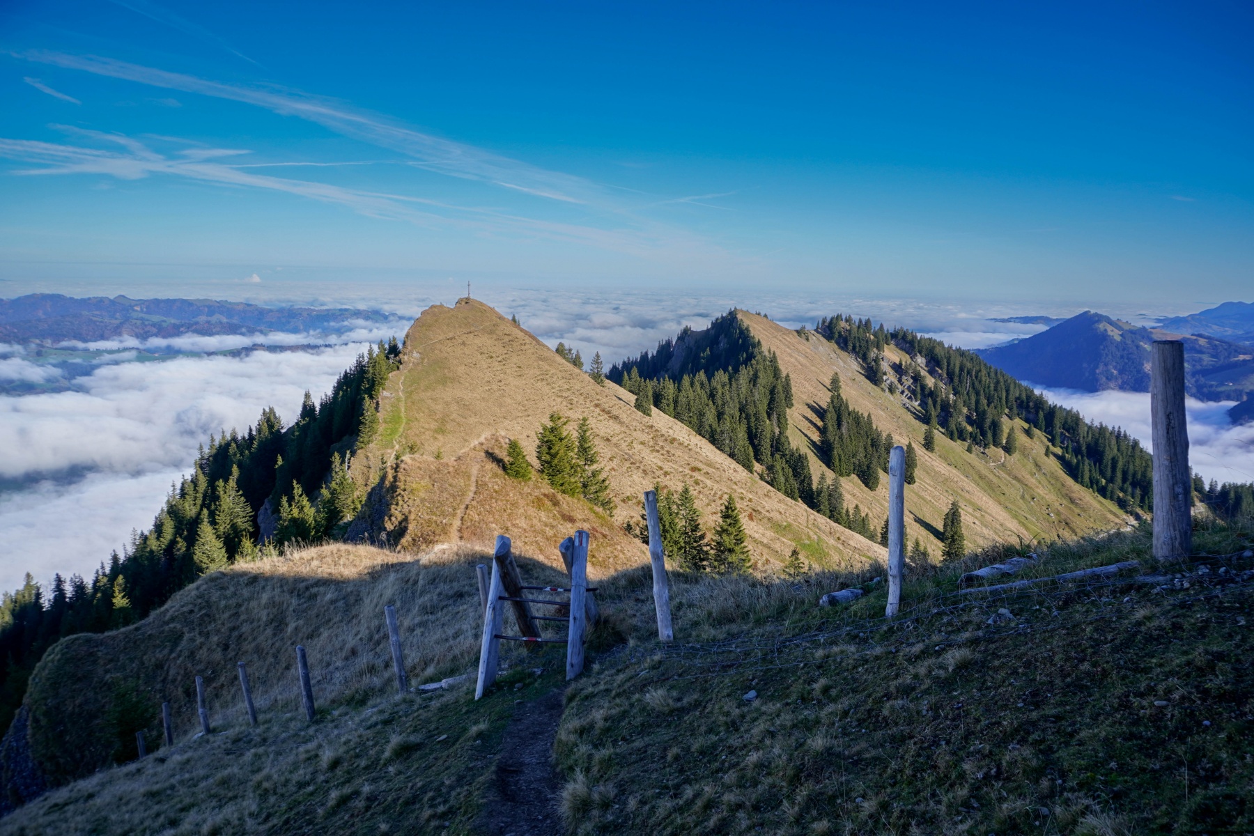
Arrivé sur la crête, on voit un petit sommet avec une croix. Il s’agit de ne pas se tromper : ce n’est pas le sommet. Celui-ci se trouve plus loin le long de l’arête et il faut, là aussi, franchir un petit ressaut pour le gagner.
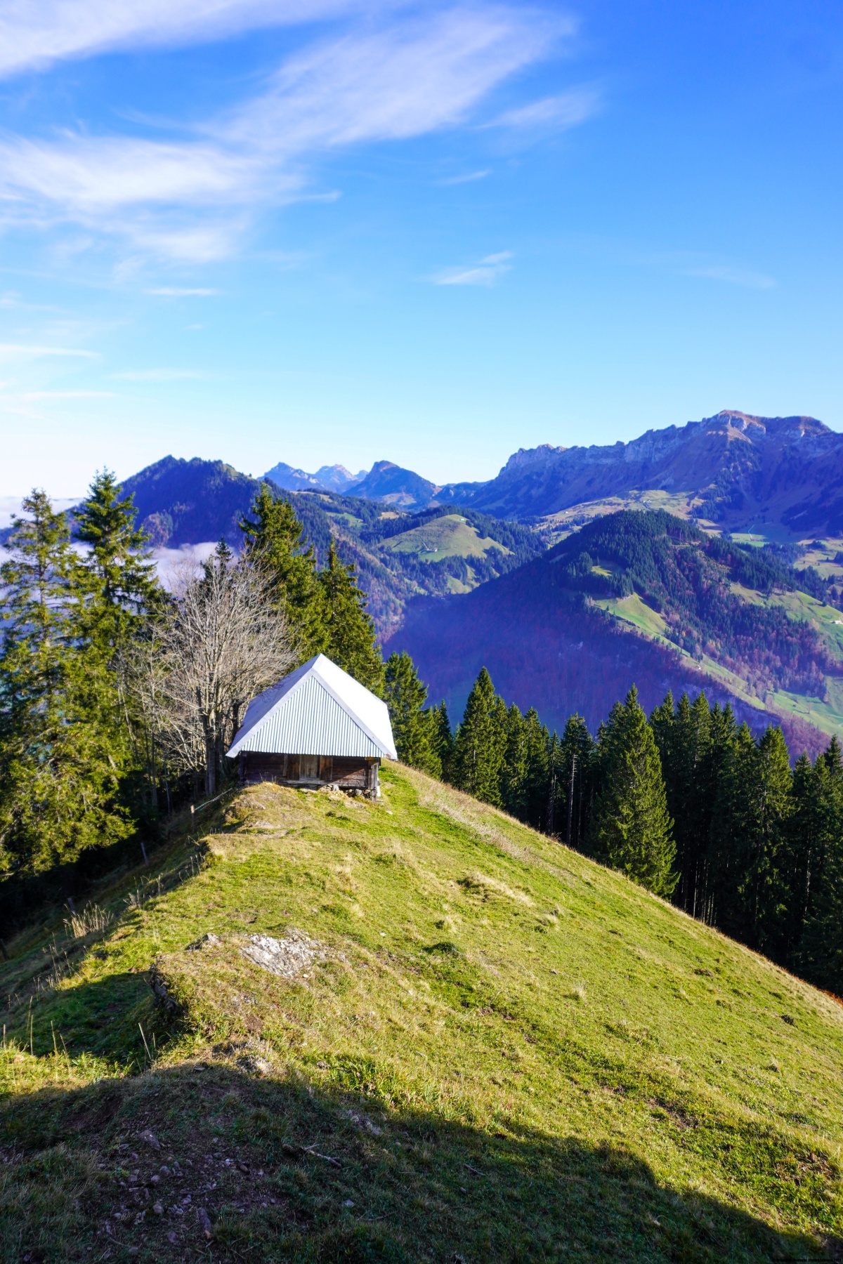
Pour la descente, j’étais revenu le long de l’arête jusqu’au débouché du sentier de montée et j’ai poursuivi le long de celle-ci. Au début, on suit l’arête un peu en contrebas de celle-ci jusqu’à un petit col où se trouve un mayen. Là, on doit monter encore un peu sur la bosse dominant le col avant d’entamer la descente à proprement parler. Là, les bâtons sont vraiment utiles car c’est très raide et ce jusqu’à Aenetämme. Ce n’est que lorsqu’on a rejoint la rive de la Waldemme que le terrain devient plat. Il ne faut cependant pas s’y tromper : il y a encore une petite montée sur le sentier qui longe la rive gauche de la Waldemme. Après ce passage, le sentier change de rive et on se retrouve à devoir suivre la route menant à Sörenberg. Plus loin, au débouché sur la route de l’Entlebuch, j’avais opté de suivre cette route afin de rejoindre au plus court la gare de Schüpfheim.
Itinéraire : Escholzmatt – Chilewald – Holzegg – Beichle – Gsteigegg – Lammberg – Aenetämme – Schüpfheim
Distance : 14,2km
Dénivellation : 1130m
Durée : 6h30

![[:fr]Paysage de montagne[:en]Mountain scenery[:de]Berglandschaft[:]](https://destination-montagne.ch/wp-content/uploads/2025/11/241110_Magglingen-Twann_011-150x150.jpg) Article précédent
Article précédent![[:fr]Paysage de plaine[:en]Plain scenery[:de]Flachlandlandschaft[:]](https://destination-montagne.ch/wp-content/uploads/2025/11/241125_Schwarzenburg-Fribourg_002-150x150.jpg) Article suivant
Article suivant