La dernière fois que nous avions entrepris cette randonnée, c’était en février 2023. Entretemps a eu lieu la tempête du 24 juillet 2023 et le sentier entre les Convers et le Creux avait été fermé durant un très long moment, à cause des dégâts causés à la forêt. C’était encore le cas durant l’été 2024. A l’automne 2024, le sentier avait à nouveau été réouvert et nous voulions aller voir de plus près.
Nous étions parti du centre le La Chaux-de-Fonds, en ne suivant pas scrupuleusement l’itinéraire balisé, car celui-ci monte la rue du Grenier, somme toute assez fréquentée. En revanche, nous sommes montés la magnifique rue de la Promenade pour reprendre l’itinéraire balisé un peu plus loin. Celui-ci mène d’abord au Bois du Couvent pour descendre près du grand giratoire de l’entrée du tunnel de la Vue des Alpes.
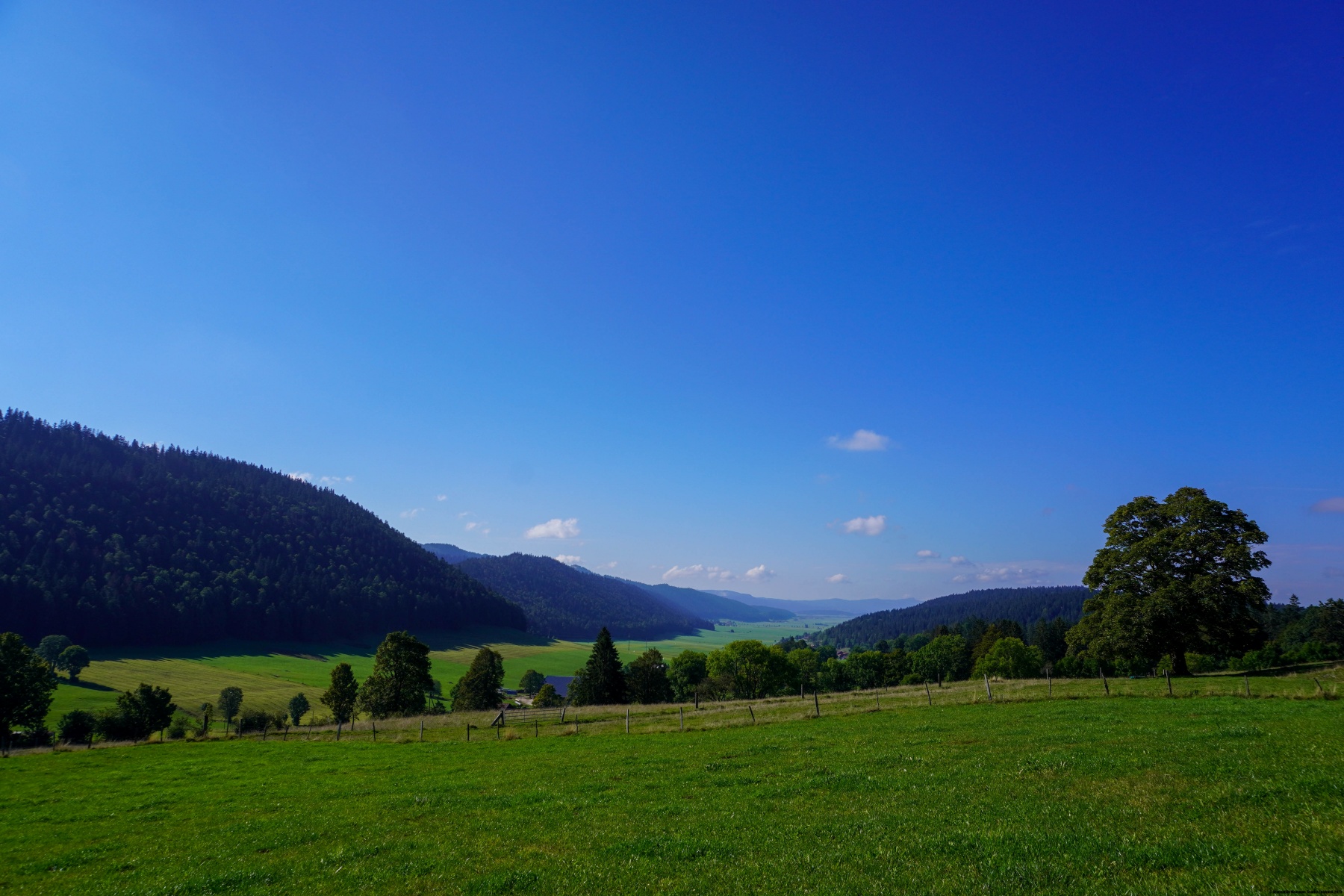
Plus loin, nous avons suivi le sentier balisé qui traverse la route de la Vue des Alpes et monte en direction du Reymond pour descendre de l’autre côté sur Boinod. Depuis cet endroit, nous avons suivi, contrairement à la première fois, le sentier balisé montant au Col de la Brûlée. Cela nous a permis de suivre l’itinéraire balisé descendant dans Les Combes pour rejoindre l’endroit, pas très folichon, où la route sort du tunnel de la Vue des Alpes pour entrer à nouveau dans le tunnel du Mont Sagne.
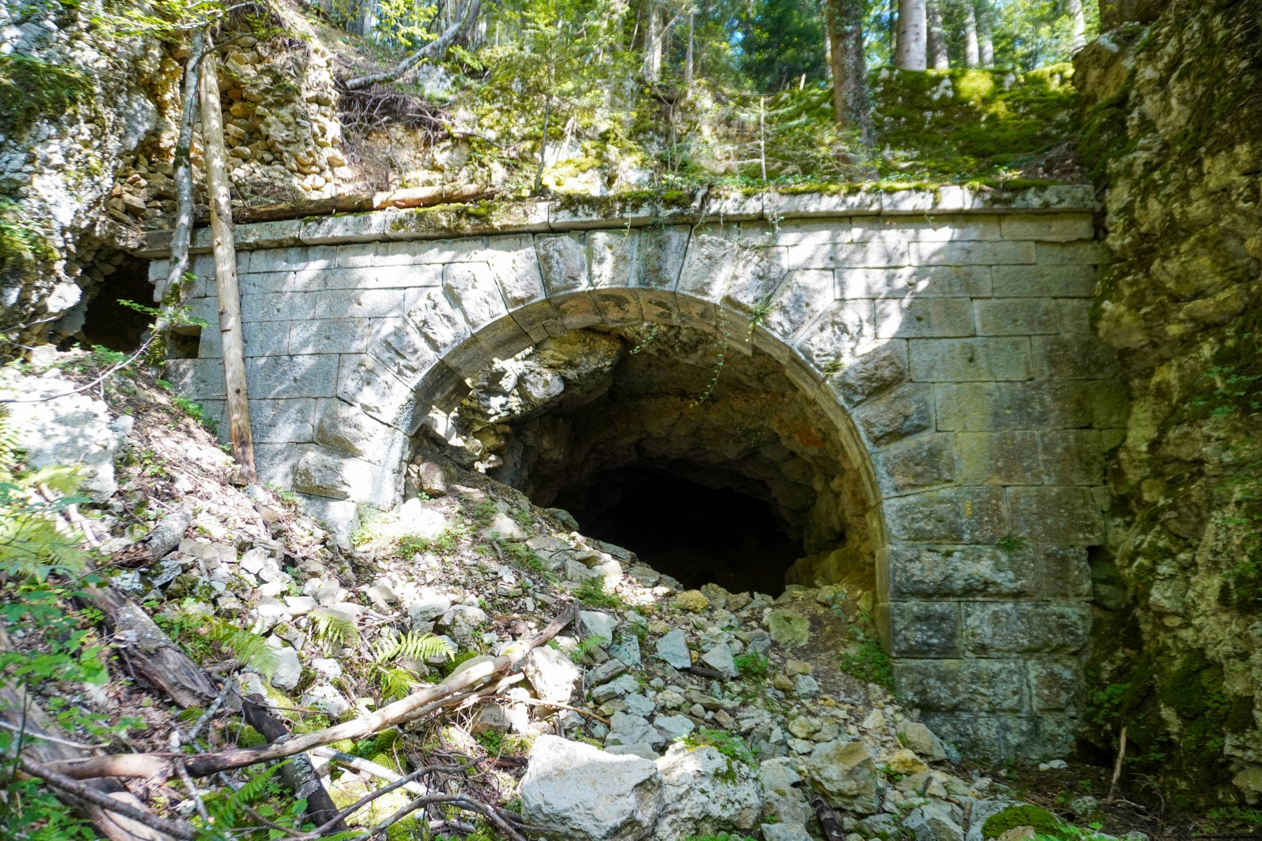
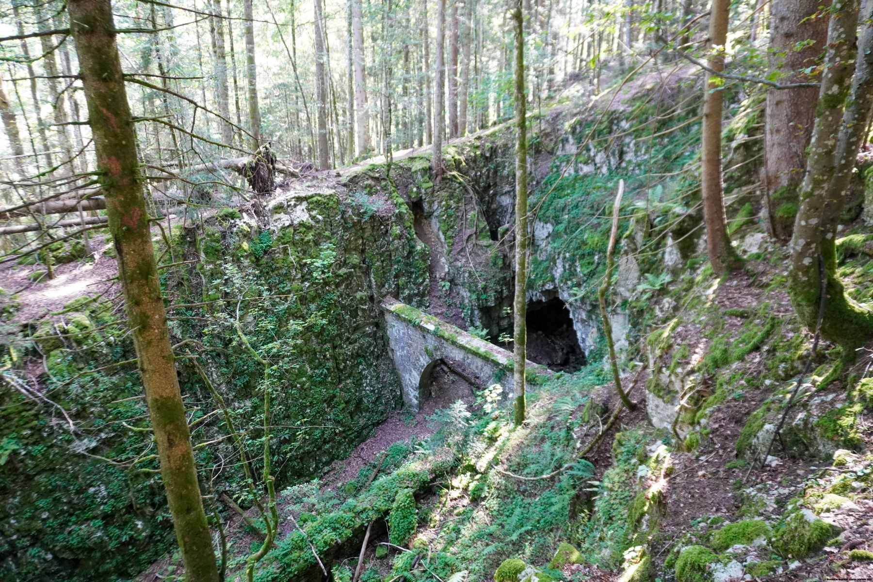
A partir de cet endroit, on peut suivre le cheminement de l’ancienne ligne de chemin de fer. Même si celle-ci avait été abandonnée très tôt après le début de son exploitation, les voies étaient restées pendant longtemps et servaient comme voies de garage. Il faut dire que pendant un certain temps, une mine et une cimenterie se trouvaient à cet endroit.
En parcourant ce tronçon jusqu’au Creux, nous avions été surpris de constater qu’il n’y avait que peu de dégâts. Les gros dégâts se situent plutôt entre le Creux et Jolimont. Après Jolimont, nous avons été surpris de constater que le sentier balisé passe dorénavant par un autre endroit. En effet, à l’époque, nous étions passés bien plus près de Clermont.
Itinéraire : La Chaux-de-Fonds – Bois du Couvent – Le Reymond – Boinod – Col de la Brûlée – Les Combes – Le Creux – Jolimont – Les Reprises – La Cibourg (halte CJ)
Distance : 12,5Km
Dénivellation : 490m
Durée : 4h

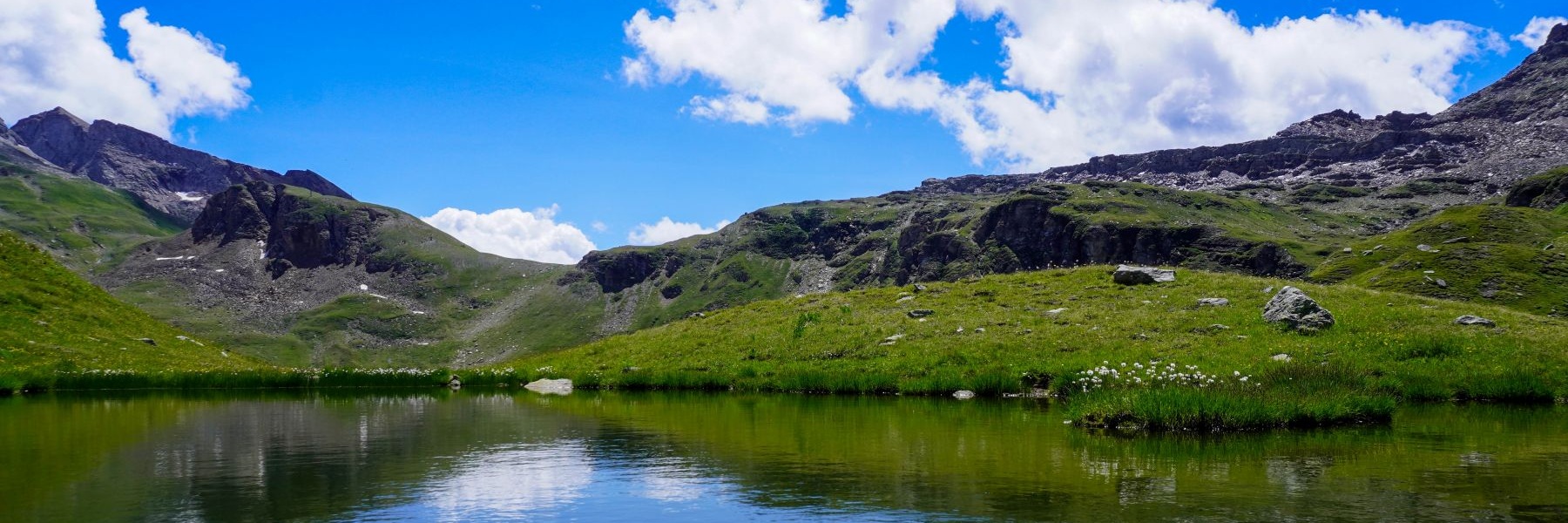
![[:fr]Paysage de montagne[:en]Mountain scenery[:de]Berglandschaft[:]](https://destination-montagne.ch/wp-content/uploads/2024/09/240916_Col-de-Jaman_057-150x150.jpg) Article précédent
Article précédent![[:fr]Paysage de montagne[:en]Mountain scenery[:de]Berglandschaft[:]](https://destination-montagne.ch/wp-content/uploads/2024/09/240929_Roggen_017-150x150.jpg) Article suivant
Article suivant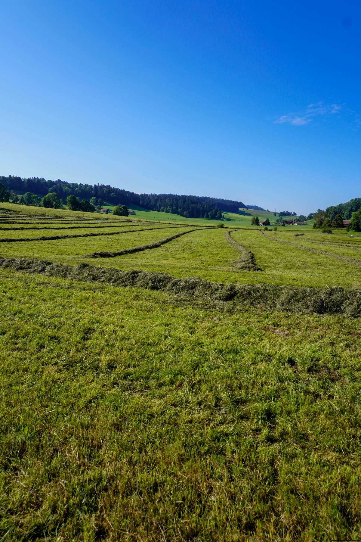