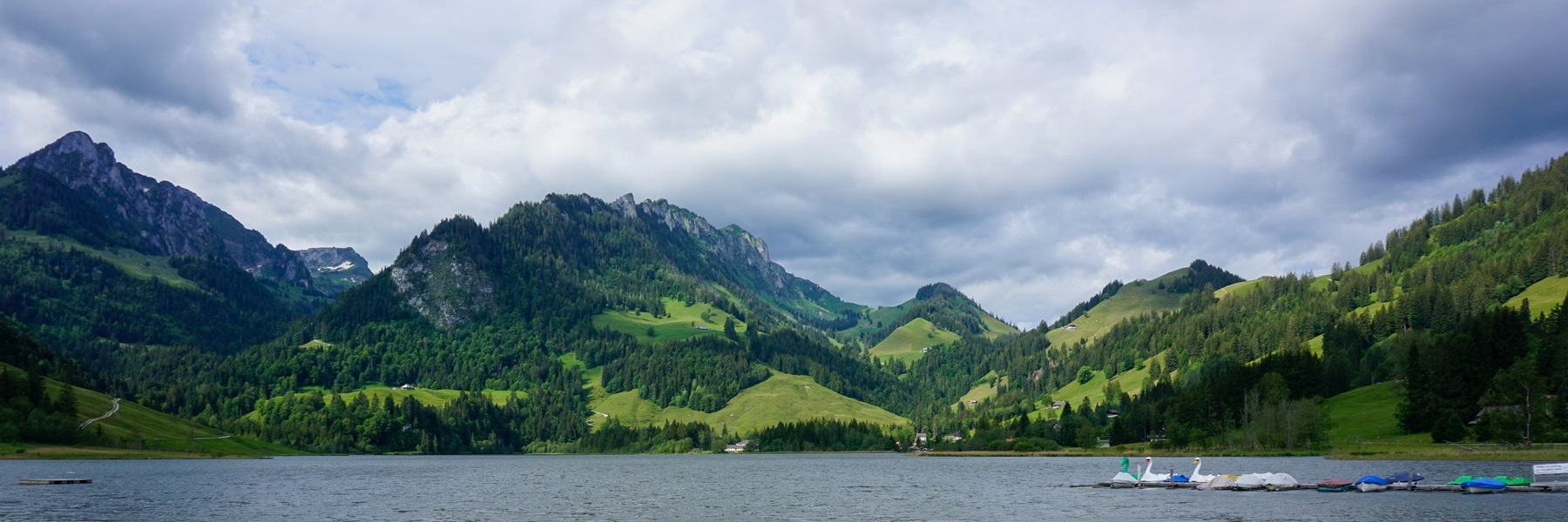
Le Gantrisch est à la fois une région et un sommet. Le sommet se trouve le long de la première crête des Préalpes longeant le Niedersimmental vers le nord. Etonnamment, il ne s’agit pas du plus haut sommet de cette chaîne puisque le Stockhorn et le Ochse sont plus élevés. Cependant, la si particulière morphologie du sommet du Gantrisch est probablement la raison pour laquelle il a conféré son nom à la région se trouvant au nord de cette chaîne.
La partie nord de la région du Gantrisch, ainsi que la voisine Rüschegg, a été formée durant le tertiaire et est constituée de molasse, et en partie de conglomérat. Il en résulte une morphologie complexe formée de vallons encaissés et de crêtes peu propices à l’agriculture. C’est une des raisons pour laquelle Rüschegg était la région la plus pauvre du canton de Berne. La partie sud de la région du Gantrisch est formée de calcaires et présente un contraste de paysage avec sa voisine du nord. Entre les deux parties coulent vers l’ouest, la Kalte Sense et vers l’est, la Gürbe. La ligne de partage des eaux se trouve au Gurnigelpass.
Cette randonnée suit la longue arête longeant le nord de la région du Gantrisch. L’itinéraire numéroté du sentier panoramique qui suit cette arête, part depuis Gurnigelbad pour rejoindre Zollhaus. Comme cela aurait fait un trop gros morceau, nous sommes partis de la Stierenhütte pour suivre cet itinéraire. En revanche, nous n’avons pas fidèlement suivi l’itinéraire, car nous sommes montés au Selibüel, petit sommet présentant une belle vue sur la région de Thun. Depuis ce petit sommet, un sentier, non balisé mais bien marqué au sol, descend le long de la crête pour rejoindre l’itinéraire précité.
Les points de vue le long de cette arête sont assez rares, car la crête est boisée. Çà et là cependant, on a un peu de vue sur le plateau Suisse. Un peu plus loin, on traverse le Gäggersteg, qui est une construction en bois permettant de marcher au-dessus du sol de la forêt. Cette construction avait été réalisée à la suite de l’ouragan Lothar qui, en décembre 1999, avait causé énormément de dégâts aux forêts. Cette construction permet au public de constater comment une forêt peut se remettre d’un tel événement.
En continuant le long de l’arête, on passe non loin de la Cheeserehöhle, une curieuse grotte plongeant dans les entrailles de la terre et liée à une légende. Elle se situe peu avant d’entamer la descente en direction de Zollhaus. Là, la vue s’élargit sur la région du Lac Noir.
Itinéraire : Gurnigel (Stierenhütte) – Selibüel – Schüpfeflue – Schwarzenbühlpass – Gäggersteg – Pfyffe – Horbüelpass – Mittlere Seite – Zollhaus
Distance : 16Km
Dénivellation : 530m positifs/1270m négatifs
Durée : 5h30

![[:fr]Paysage de montagne[:en]Mountain scenery[:de]Berglandschaft[:]](https://destination-montagne.ch/wp-content/uploads/2024/07/240701_Malleray-Sonceboz_005-150x150.jpg) Article précédent
Article précédent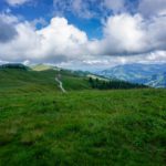 Article suivant