
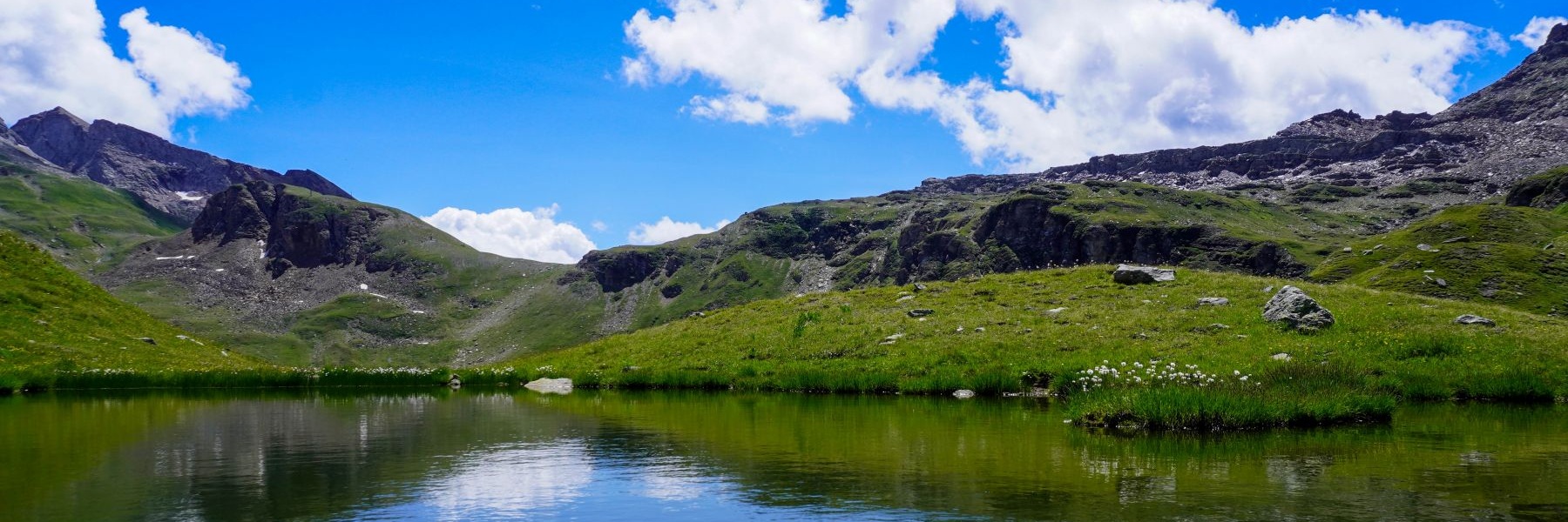
Biaufond est un lieu surprenant. A la fois, il s’agit d’un endroit idyllique réputé comme destination de promenade en été et ce, depuis des années. En même temps, il s’agit d’un lieu chargé d’histoire et qui a connu des moments inhabituels lors de la dernière guerre.
De plus, beaucoup de gens ignorent qu’après la création du canton du Jura en 1978, la frontière commune entre ce canton et le canton de Neuchâtel, ne représente qu’une distance de 250m. Cette frontière commune représente un tout petit tronçon entre le canton de Berne et la France. Si l’on se trouve à Biaufond et qu’on regarde par-delà le lac homonyme, on remarquera une borne frontière se trouvant au milieu de l’eau. Cette borne marque la frontière et la France et la Suisse. Pourquoi se trouve-t-elle au milieu de l’eau ? Il faut remonter dans le temps (au début du XXème siècle) pour constater que la construction du barrage du Refrain, inauguré en 1909, a passablement changé l’aspect du Doubs à cet endroit. En effet, là où se trouve actuellement le Lac de Biaufond, cette rivière coulait quelques 10m plus bas que le niveau de l’eau actuel.
Biaufond se trouve également au bout de la combe homonyme qui n’est rien d’autre que la vallée qu’avait creusée la Ronde, le ruisseau s’écoulant depuis La Chaux-de-Fonds. Il faut utiliser l’imparfait car, même s’il est certain que c’est ce ruisseau qui avait creusé ce vallon, le cheminement actuel de l’eau n’est pas clairement établi. Quelques essais de coloration avaient été effectués au milieu du siècle passé, mais avec des résultats contradictoires.
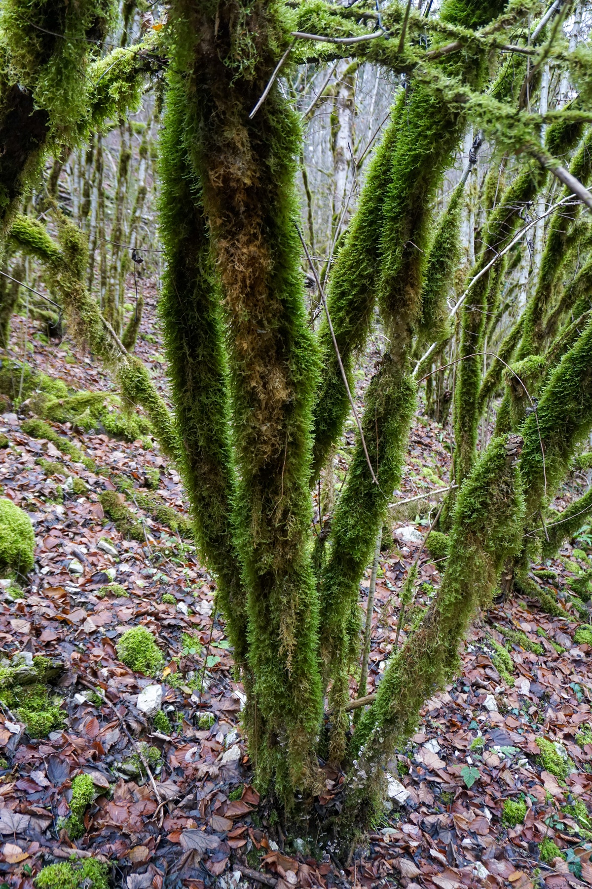
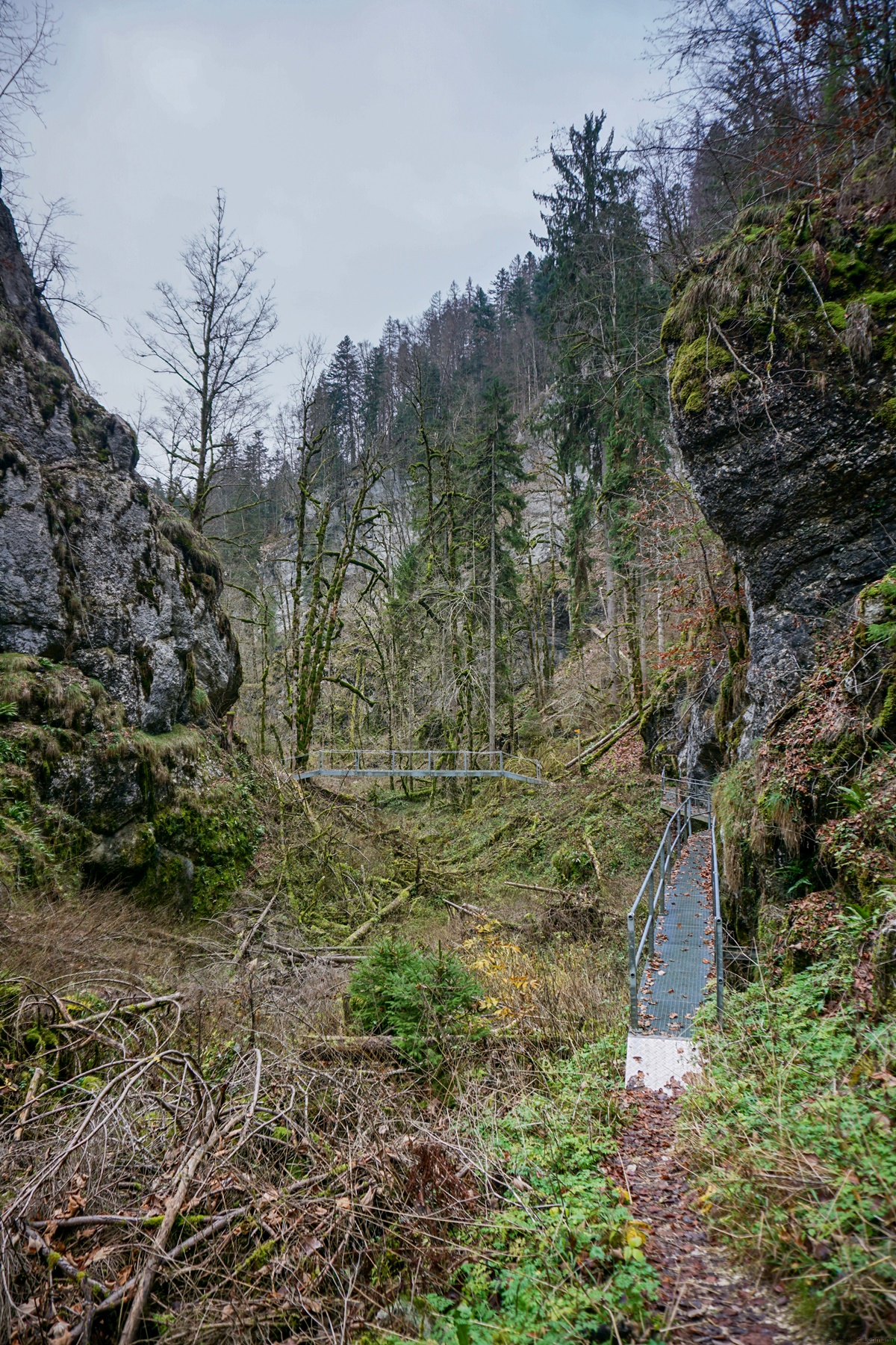
Un sentier parcourt la Combe de Biaufond. Celui-ci est, contrairement aux sentiers de la région, balisé comme sentier de montagne (donc en blanc-rouge-blanc). De plus, à chaque bout du sentier de la Combe de Biaufond, un panneau de mise en garde a été apposé appelant à la prudence. Il y est également précisé que le cheminement est réservé aux personnes exemptes de vertige. Même si la mise en garde peut sembler exagérée, elle prend tout son sens en considérant que la plupart des autres sentiers environnants sont des chemins pédestres ne nécessitant pas de compétences particulières. Il est donc compréhensible que l’on cherche à éviter que des pratiquants peu expérimentés ne s’aventurent sur ce sentier.
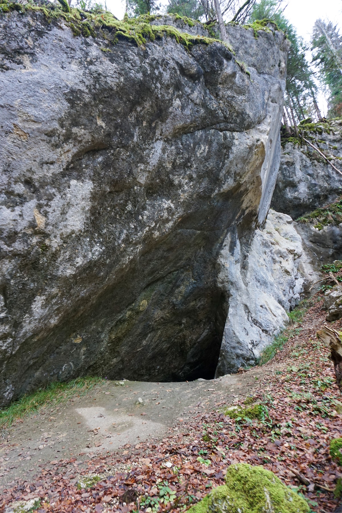
Au départ de Biaufond, le sentier de la Combe de Biaufond côtoie un bout la Ronde, qui au débouché sur le Lac de Biaufond, forme un petit plan d’eau. Le sentier, au début, ne présente pas d’accident de terrain marqué. Ce n’est que lorsque la gorge change de direction que l’on se retrouve face à quelques échelles et ponts permettant de surmonter le premier verrou. A partir de cet endroit, le sentier devient un peu plus accidenté, change de rive du vallon et monte en direction d’une grotte dont la voûte d’entrée se voit de loin. Après la grotte, on change encore une fois de rive avant d’atteindre une section d’apparence très dévastée de la gorge. On y trouve des arbres abattus et des blocs de rocher entassés pêle-mêle et il est difficile de saisir si le ravage est la conséquence d’un éboulement ou si, au contraire, des arbres ont été abattus, ce qui a favorisé l’érosion. Après deux petits ponts et un changement de rive, on atteint une cuvette de laquelle on voit clairement la suite : de grandes échelles permettant de sortir de la gorge.
La sortie de la gorge par les échelles est rendue nécessaire car, plus haut, un éboulement ancien a complètement dévasté le vallon. C’est cet éboulement qui est à l’origine du plan d’eau du Cul des Prés. Ce plan d’eau est de niveau très variable et on peut, selon les années et les saisons, trouver de l’eau pratiquement jusqu’à La Planche.
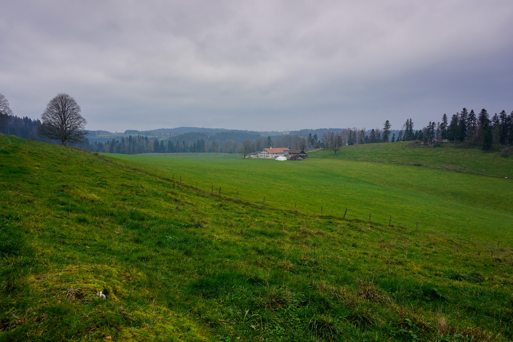
Au sortir des échelles on peut poursuivre en direction du Cul des Prés et, au-delà, monter soit aux Bois, soit à la Ferrière. Ici, j’avais décidé d’emprunter un bon chemin menant au Bas des Brandt. A partir de cette ferme, il m’était alors facile de suivre un bon chemin descendant en direction du Doubs et gagnant la rive de celui-ci au pont de Biaufond.
Itinéraire : Biaufond – Combe de Biaufond – Cul des Prés – Bas des Brandt – Biaufond
Distance : 6,5Km
Dénivellation : 350m
Durée : 2h30
![[:fr]Paysage de montagne[:en]Mountain scenery[:de]Berglandschaft[:]](https://destination-montagne.ch/wp-content/uploads/2022/11/221127_Ruines_Erguel_006-150x150.jpg) Article précédent
Article précédent![[:fr]Paysage de montagne[:en]Mountain scenery[:de]Berglandschaft[:]](https://destination-montagne.ch/wp-content/uploads/2022/12/221206_Chaux-Geneveys_027-150x150.jpg) Article suivant
Article suivant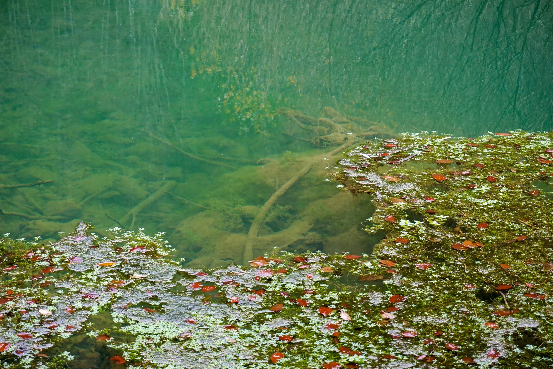