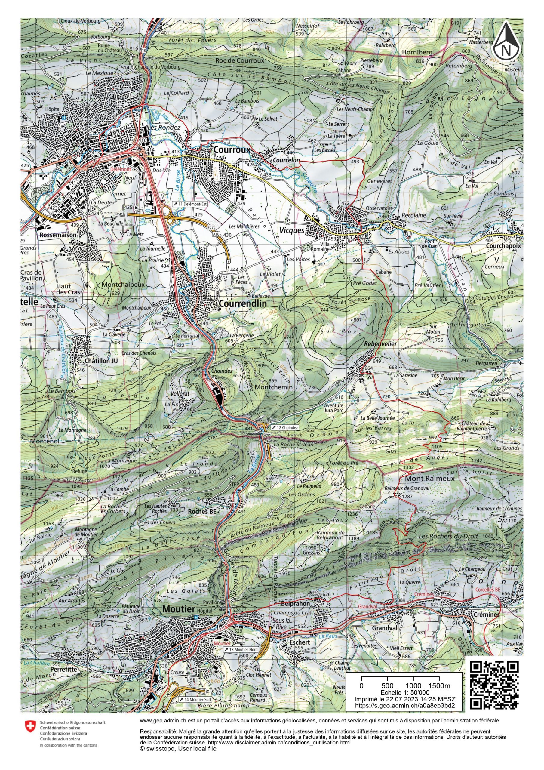
This stage (the fourth) of the Via Jura is a big stretch. The Via Jura is the route that crosses a part of the Jura between Basel and Biel. This stage is the longest of the entire route, even if it does not reach a peak at “alpine” altitude, as the highest point is at 1302m at the Raimeux. The great distance is explained by the fact that to climb the top of Raimeux while avoiding the overly urbanised areas of the Birse valley, one detours from the most direct route by following, at the beginning, La Scheulte. One crosses La Scheulte at Vicques, just before the climb to Rebeuvelier.
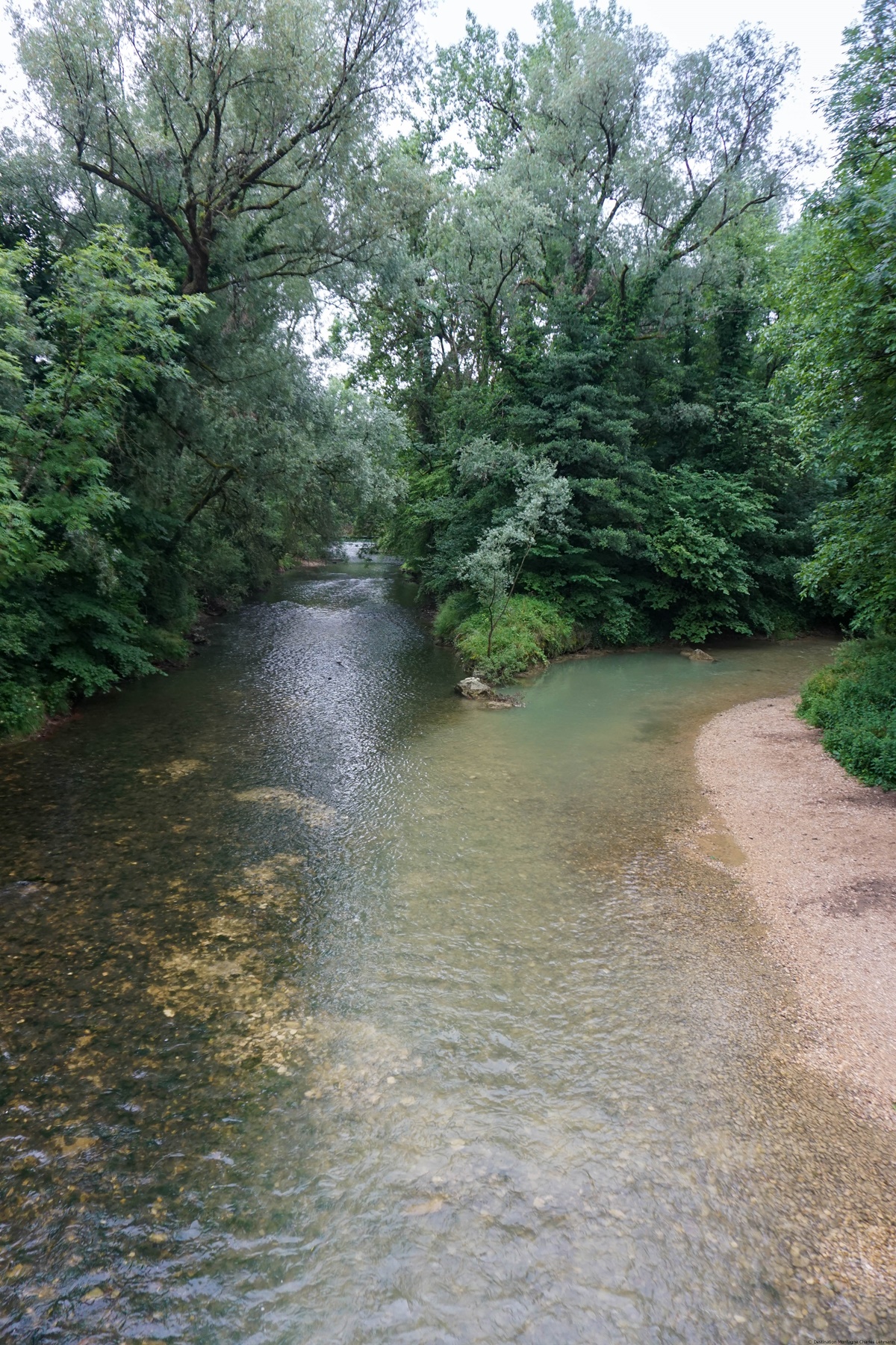
When we left Delémont station, we followed the marked route that soon followed the Sorne. The Delémont sawmill was once located near the river, which had been the victim of a fire. However, one wanted to preserve a record of the sawmill by preserving the wheels that powered the machines. Further on, at the entrance of the gorge, we crossed the Pont de la Birse from where we can see the junction of the Sorne with the Birse.
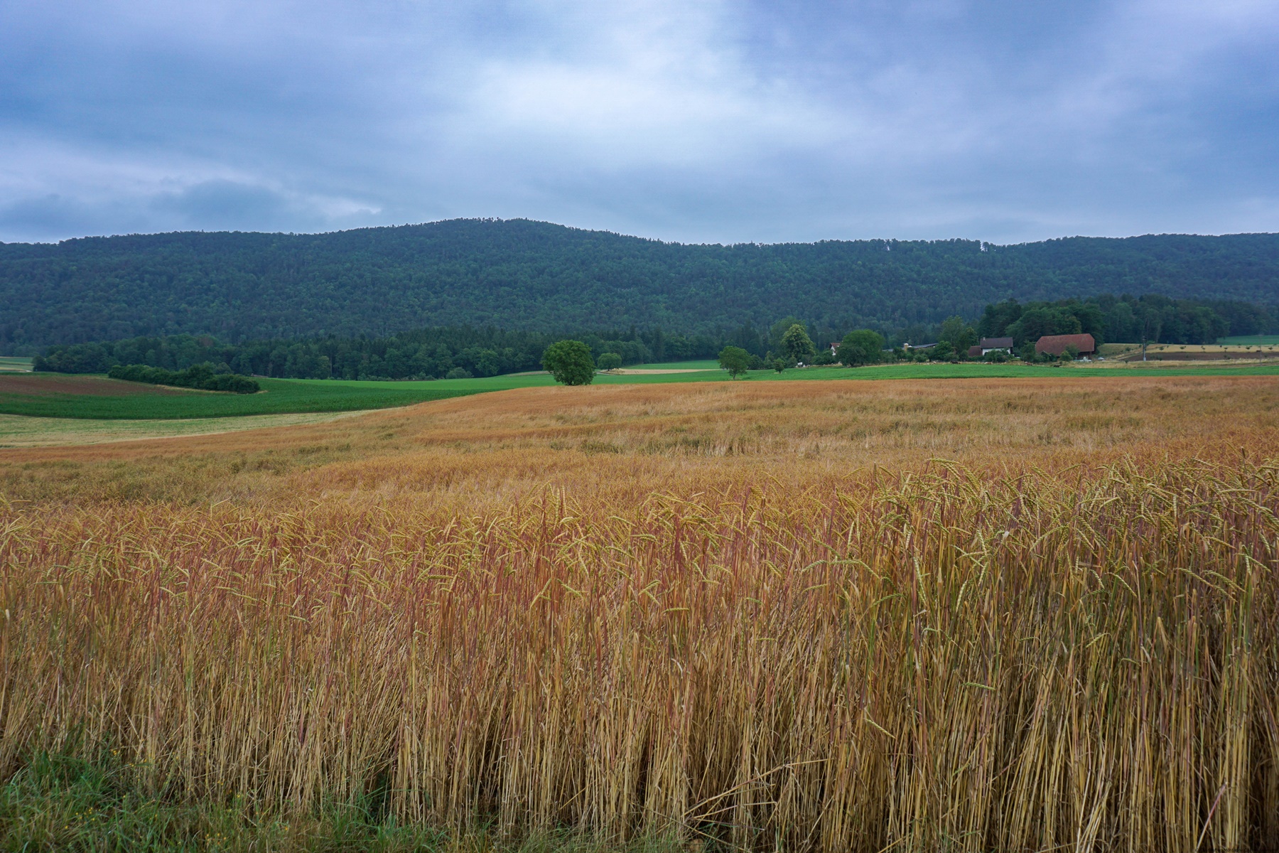
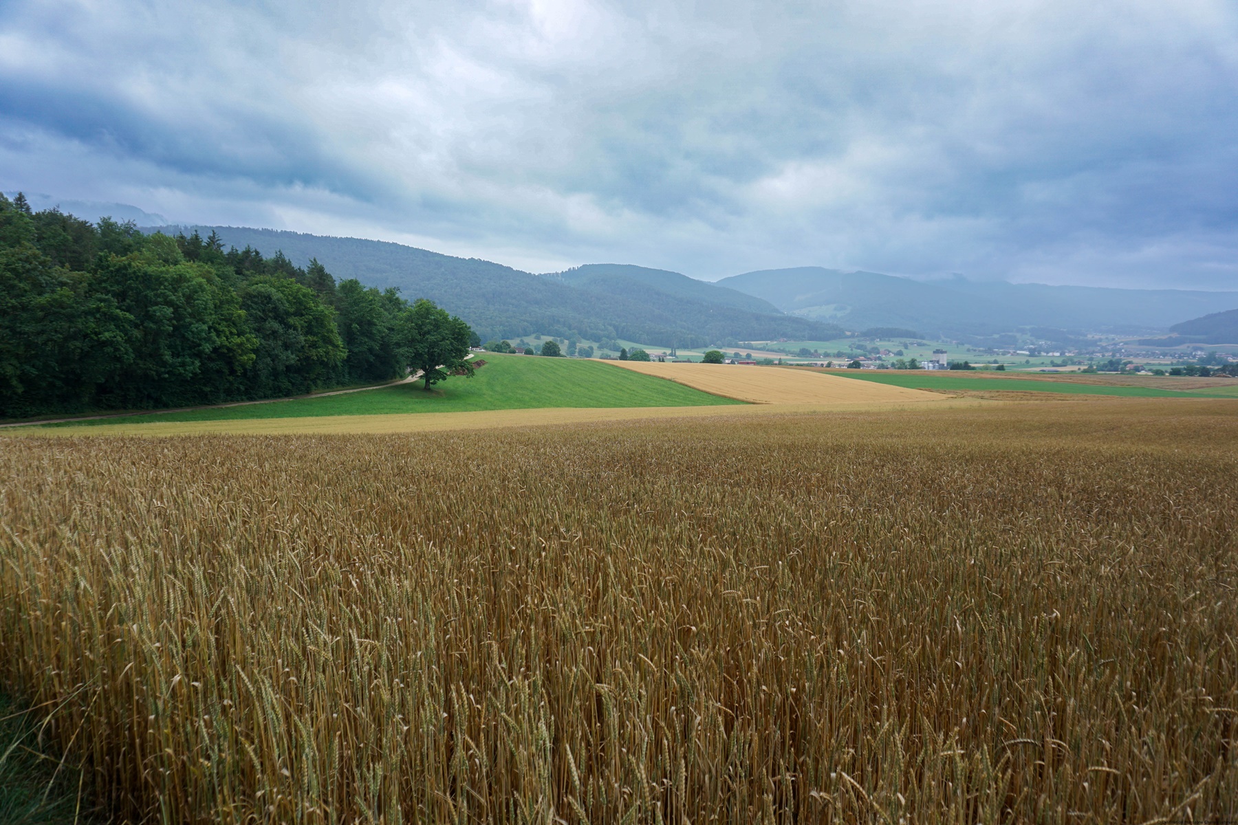
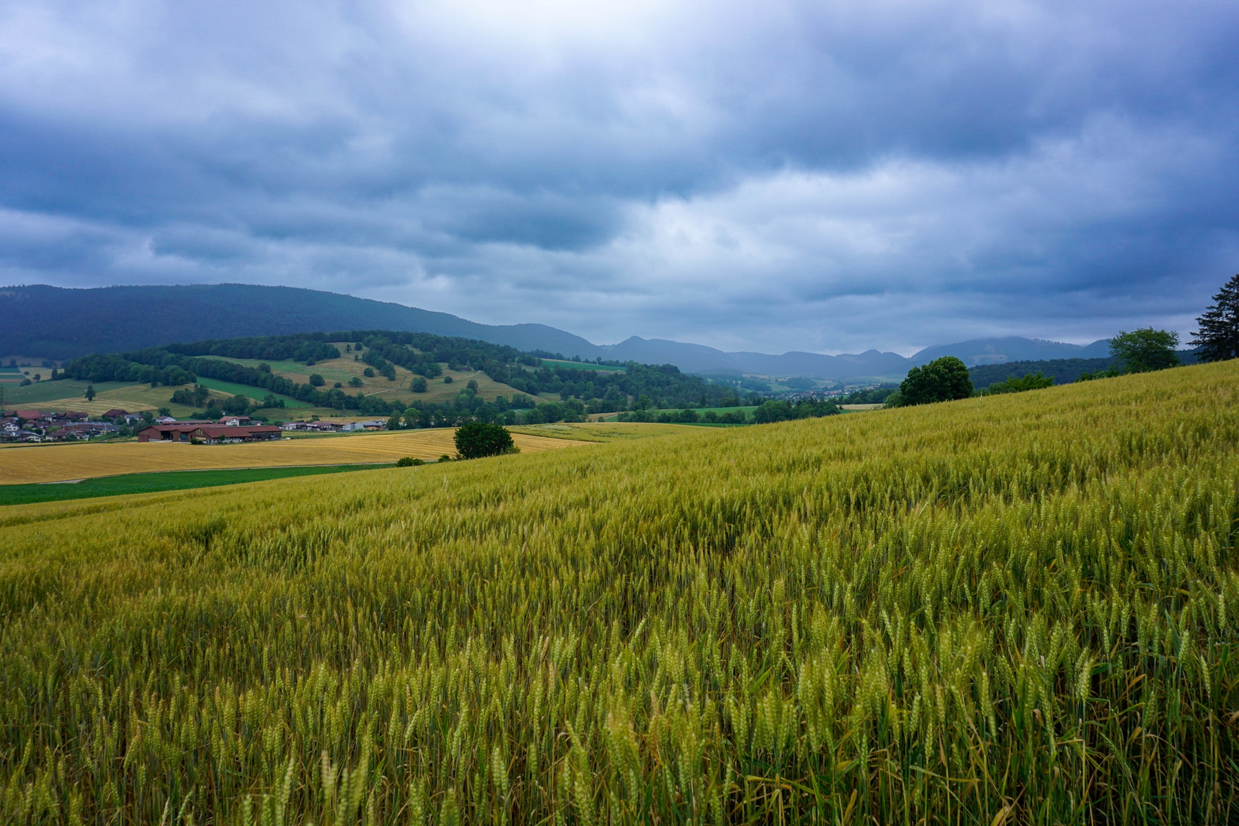
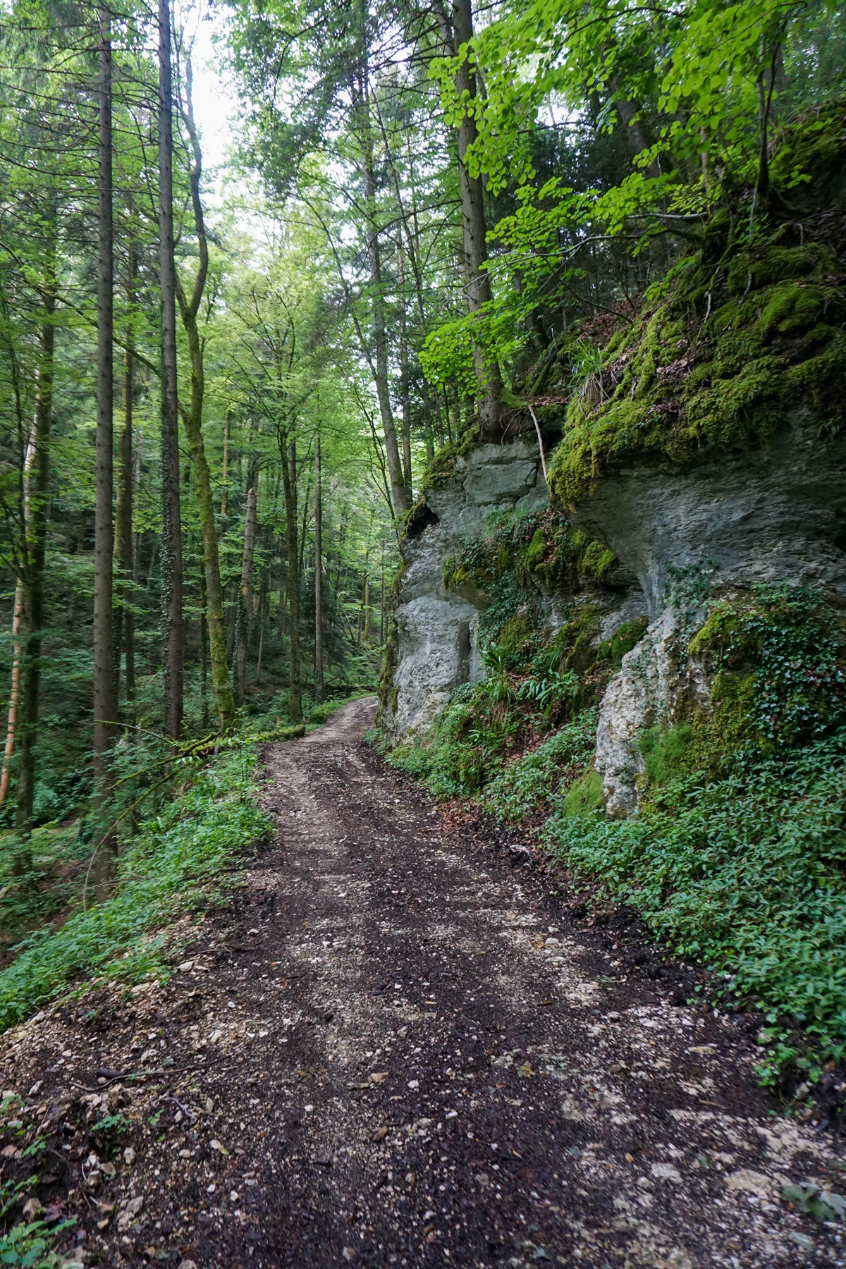
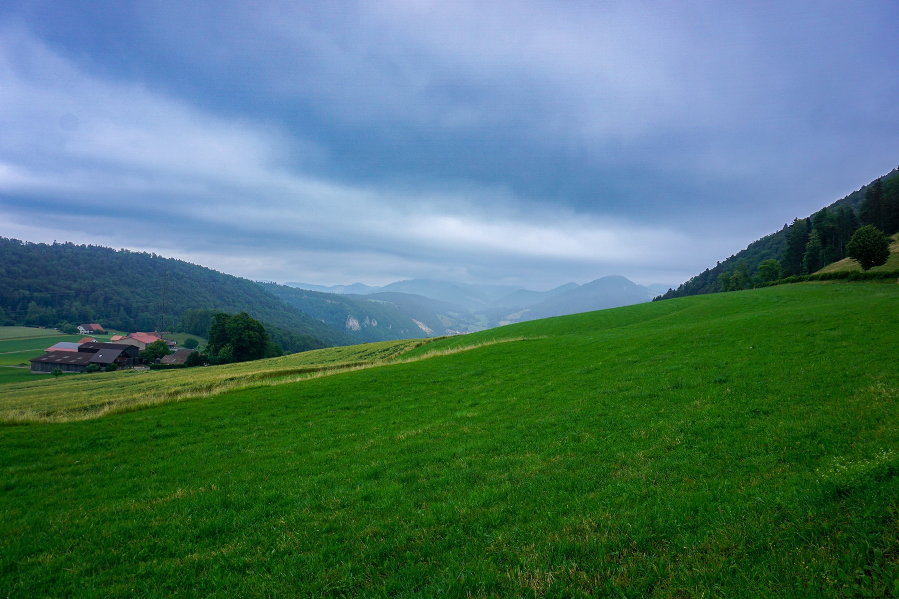
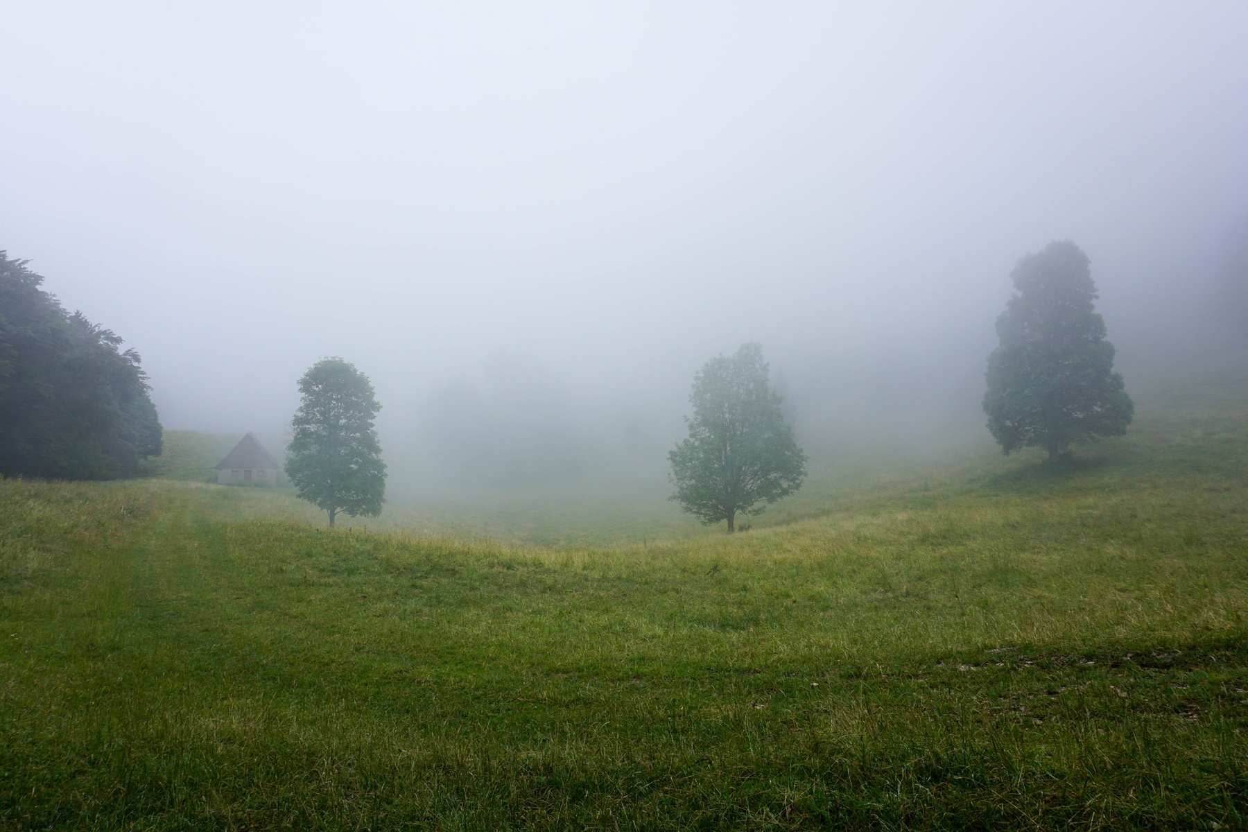
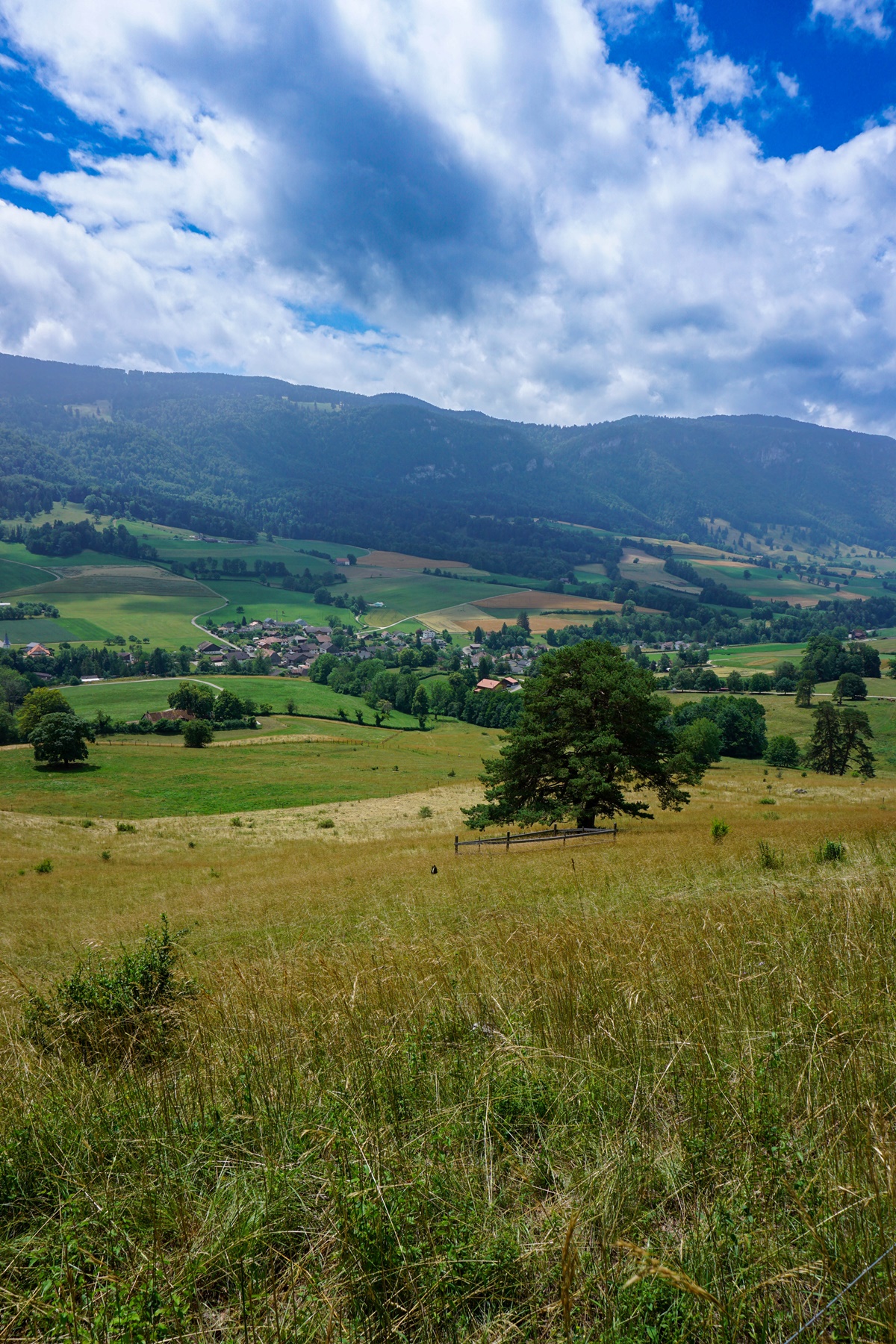
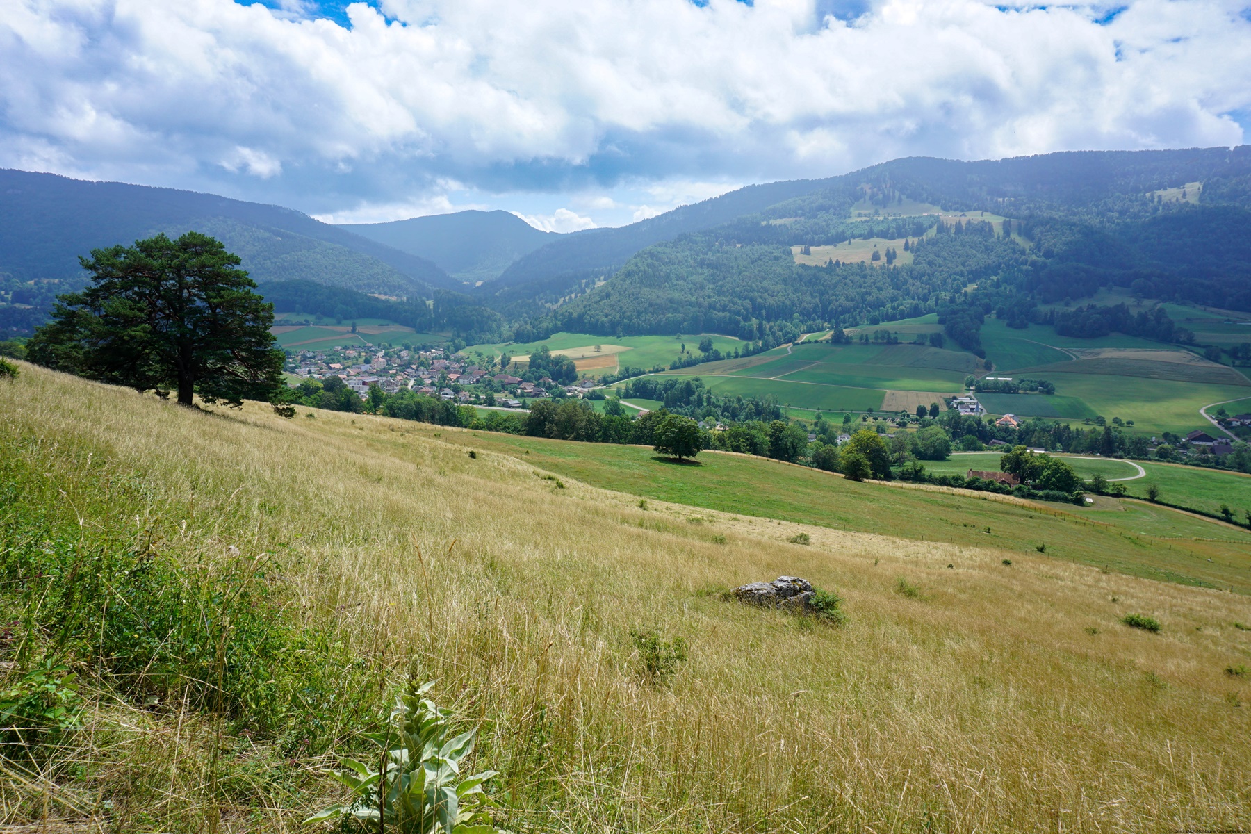
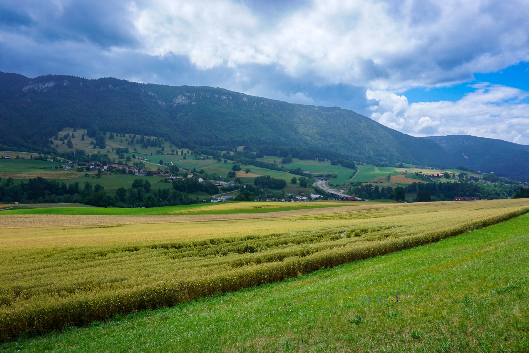
Between Delémont and Vicques, you pass through not mountainous rural areas. You pass from motorized roads to forest roads while gaining altitude before descending towards Vicques. It is here that you cross La Scheulte and climb up the opposite slope. It is not long before you enter a small valley that allows you to reach the village of Rebeuvelier.
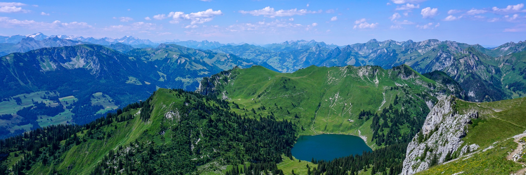
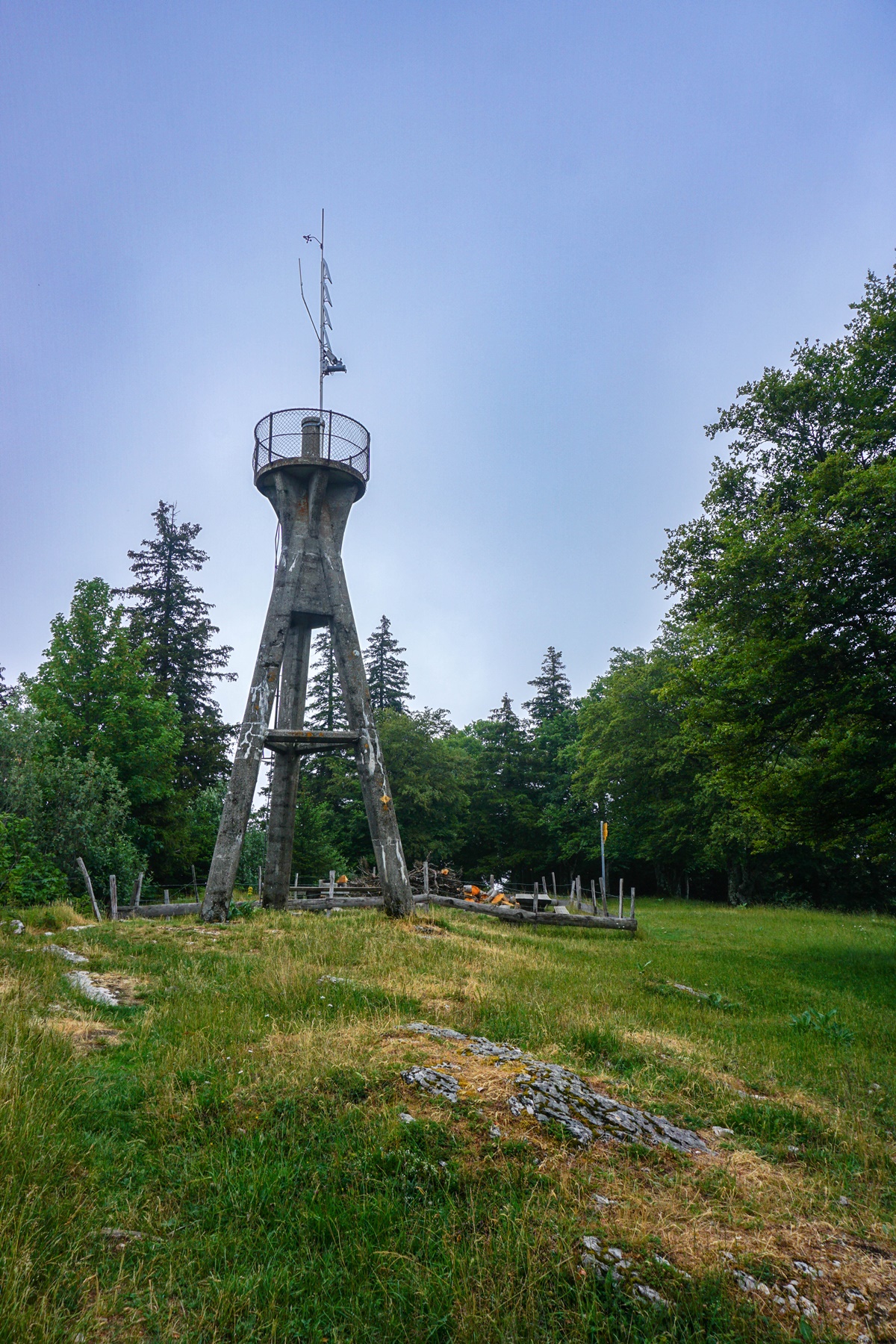
Following the route across the mountain slopes above the village, one reaches a small cluse, which one climbs up. At this point, the slope is sometimes quite steep, but it is not long before one reaches the pastures below Mont Raimeux. After a little effort, one reaches the summit, whith a curious concrete tower.
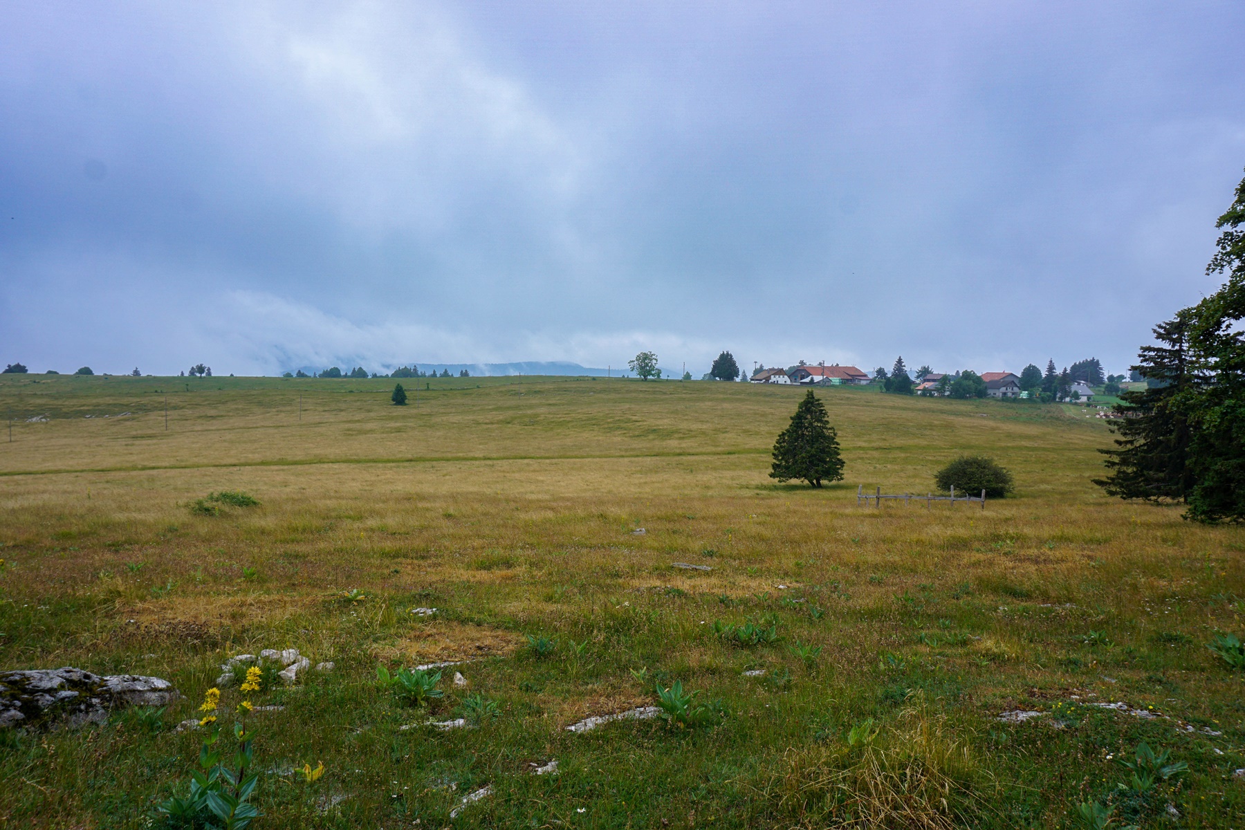
After passing by the Raimeux de Grandval (there is a refreshment place), we started the long descent towards Grandval. At the beginning, along the rocky ridge, you can admire a stretch of ruts road. This road had, because of the ruts, been considered a Roman road, because anyone who said “ruts” meant “Roman road” (until the 1980s). This was before it had been proved that ruts were created naturally when loaded carts with their hemmed wheels were lowered, and for a relatively short period of time (a few decades). Thus, this stretch of road is not Roman, but probably dates from the 18th century. In addition, the gauge and gradient of the road would not have allowed large chariots to pass. This is probably a road that had been used for farming.
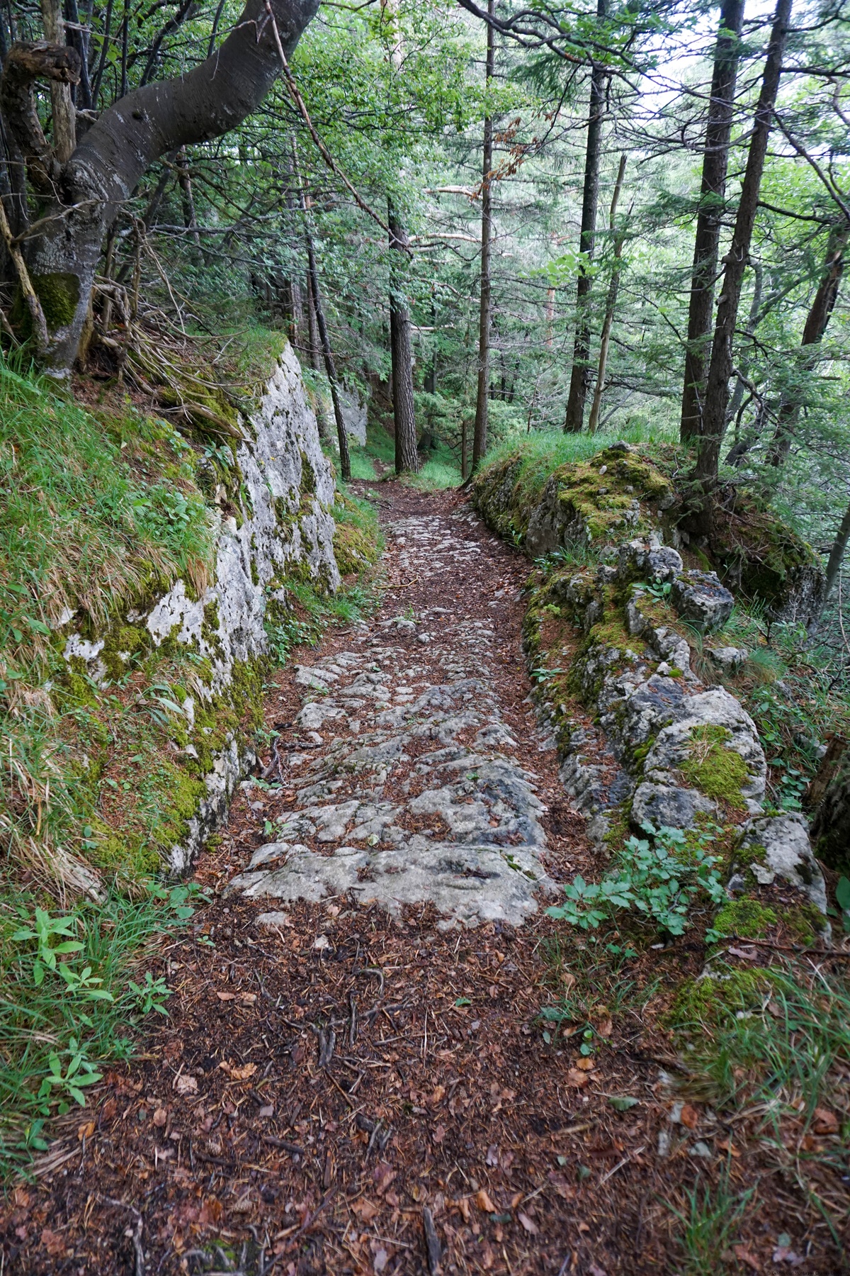
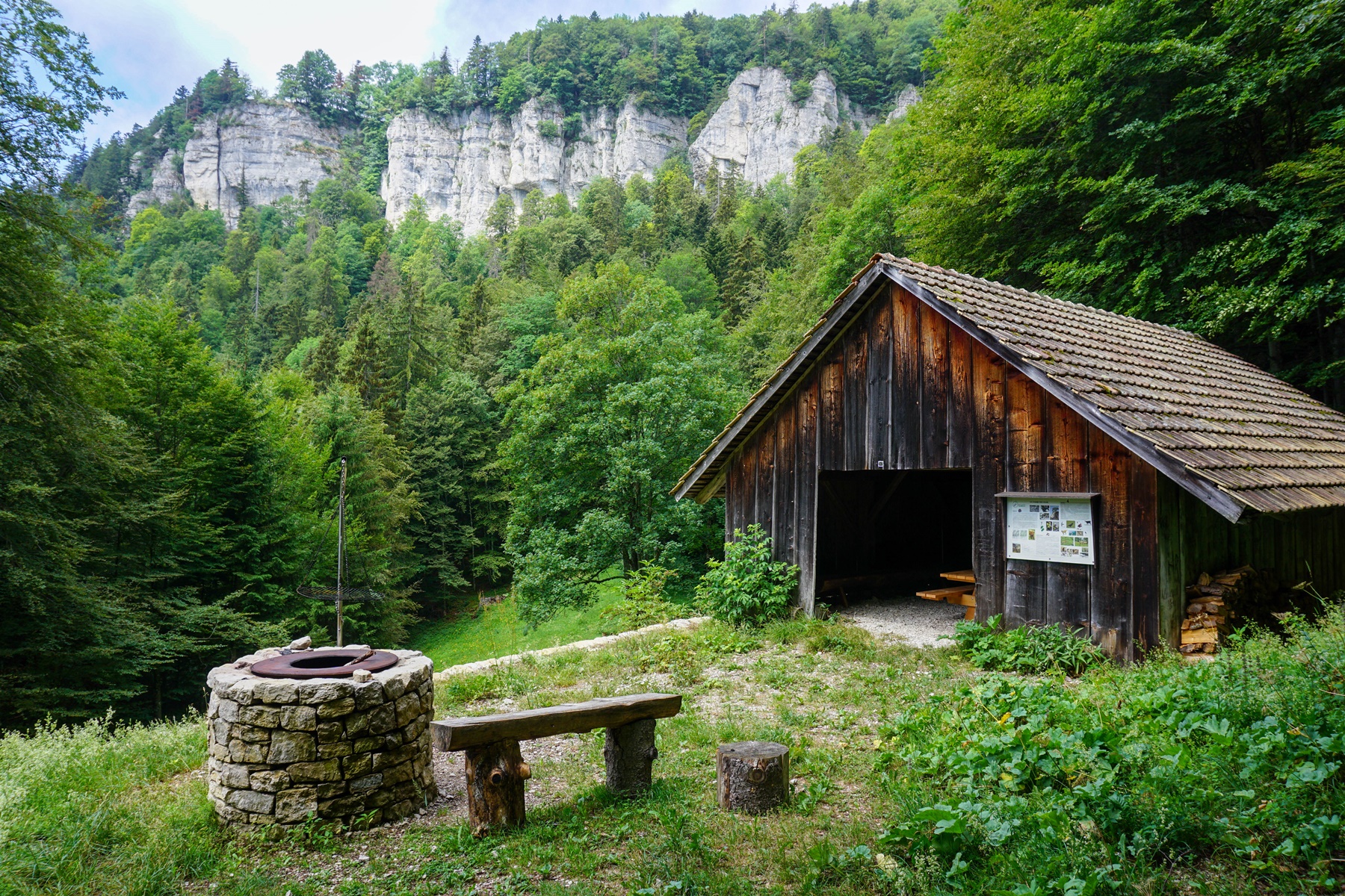
Further on, the trail joins a wide road that passes through the Combe des Geais, where there is a shelter with a fireplace. After a crossing, the trail passes under the Combe de la Hue before returning and descending towards the village of Grandval.
At this point, you should not think that you have finished climbing to reach Moutier. Indeed, you must climb a little more to reach the village of Belprahon. After the village, you must climb a little more to cross under the mountain, pass over the Transjurane and in order to reach Moutier.
Route: Delémont – Courroux – Courcelon – Vicques – Rebeuvelier – Mont Raimeux – Combe des Geais – Grandval – Belprahon – Moutier
Distance: 26.5Km
Altitude gain: 1100m
Duration: 8h

 Previous Post
 Next Post
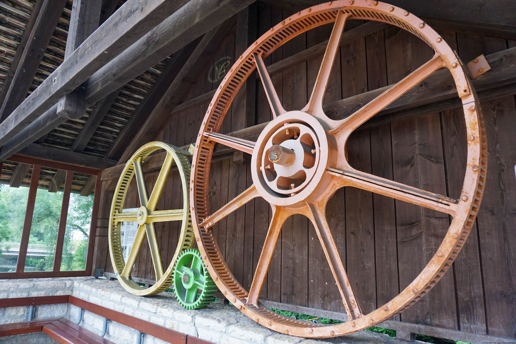