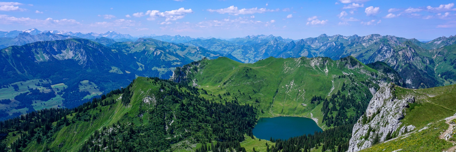
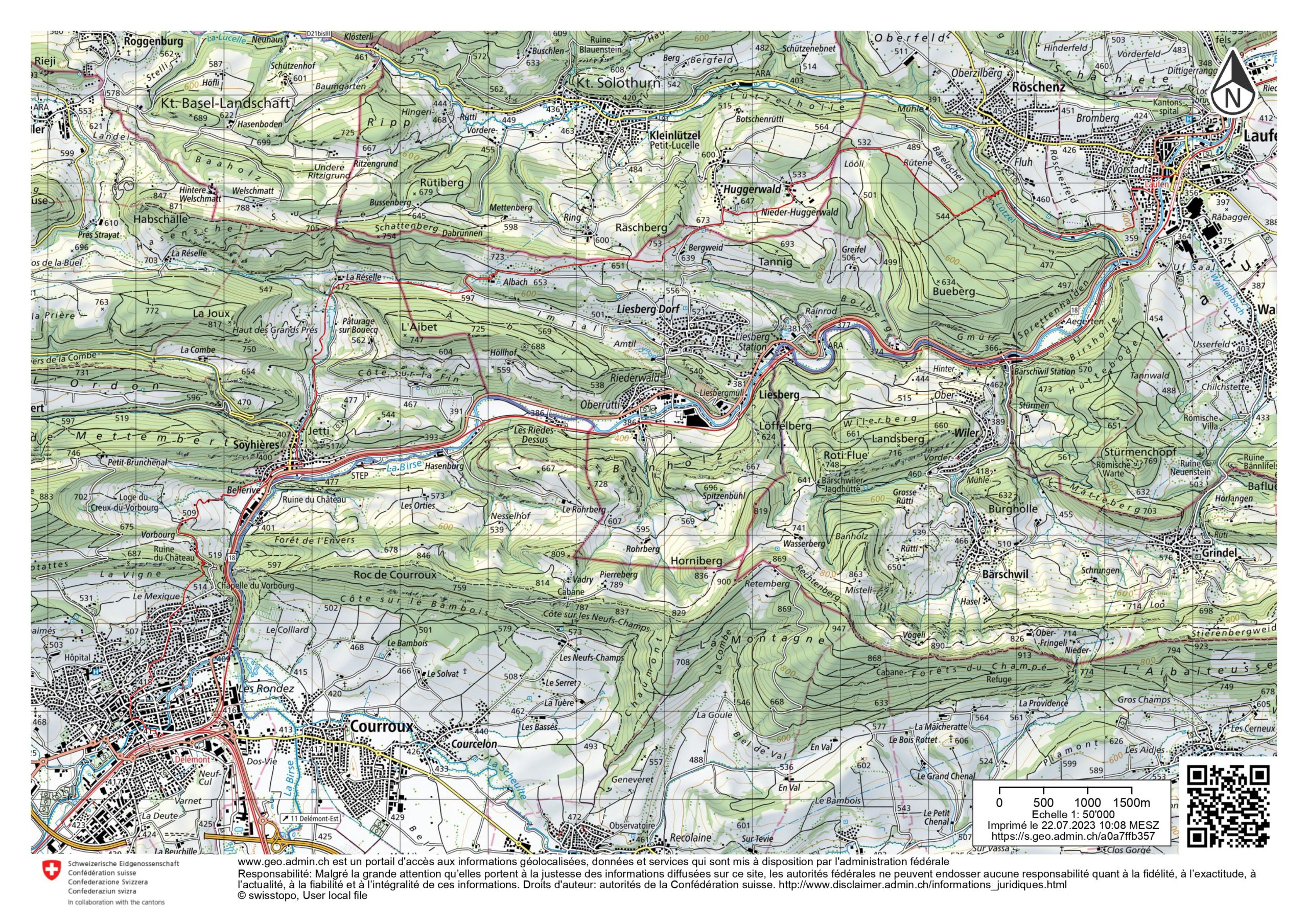
Many times, I had travelled by train along the Birse River to reach Basel. Since then, I had planned to start a hike in Laufen and reach Delémont, because the landscapes are varied. The landscape is very different between the folded Jura, which can still be seen in Delémont, and the non-folded Jura near Laufon. In the meantime, a route has been created, the Via Jura. It starts from Basel and crosses part of the Jura and ends in Biel.
Here, we decided to take the stretch between Laufon and Delémont.
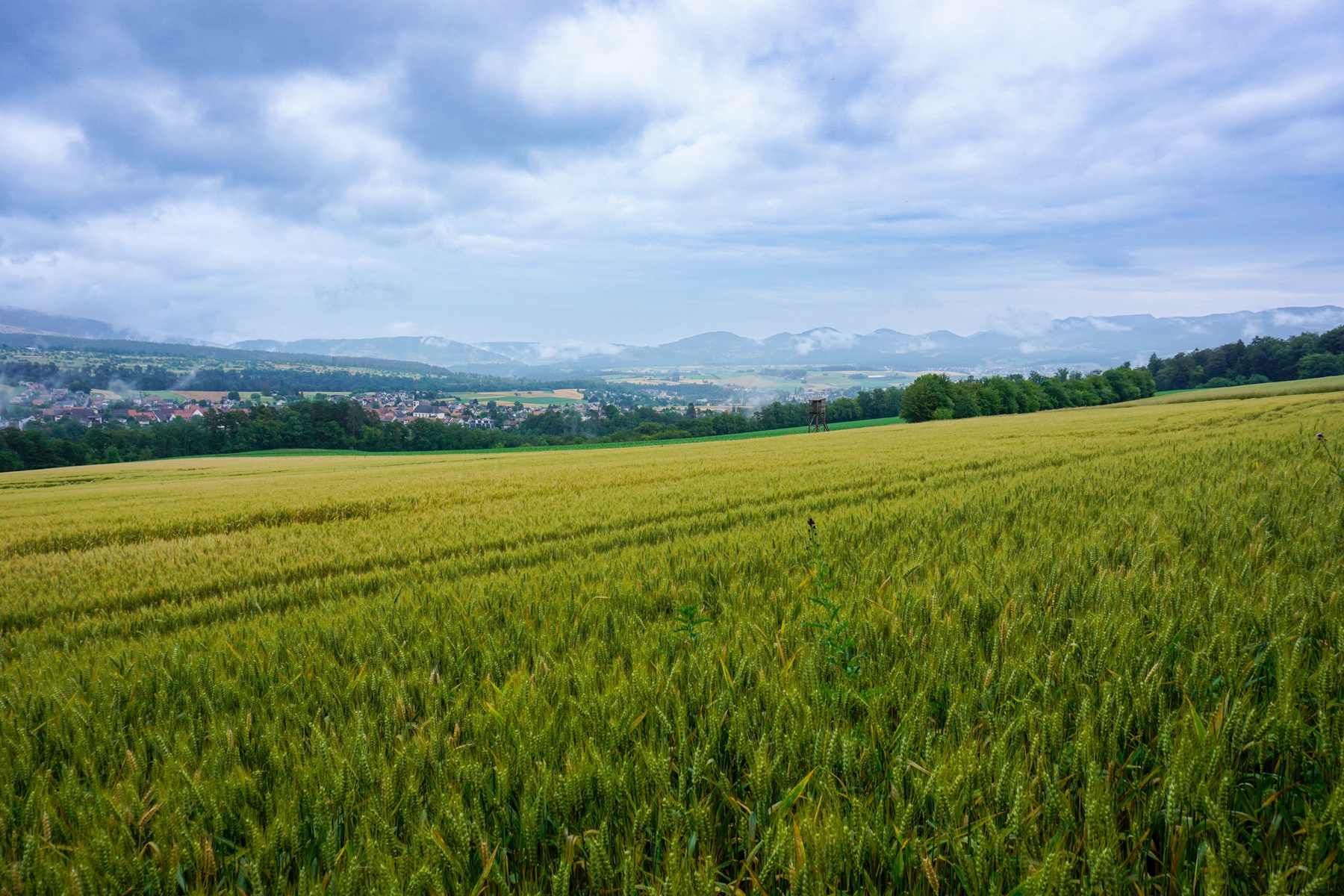
Unfortunately, given the stage ahead of us, we didn’t have much time to stroll through the old Laufen. However, as we passed a town gate in the distance, we were able to see part of the old Laufen. I think the old town will be worth a visit.
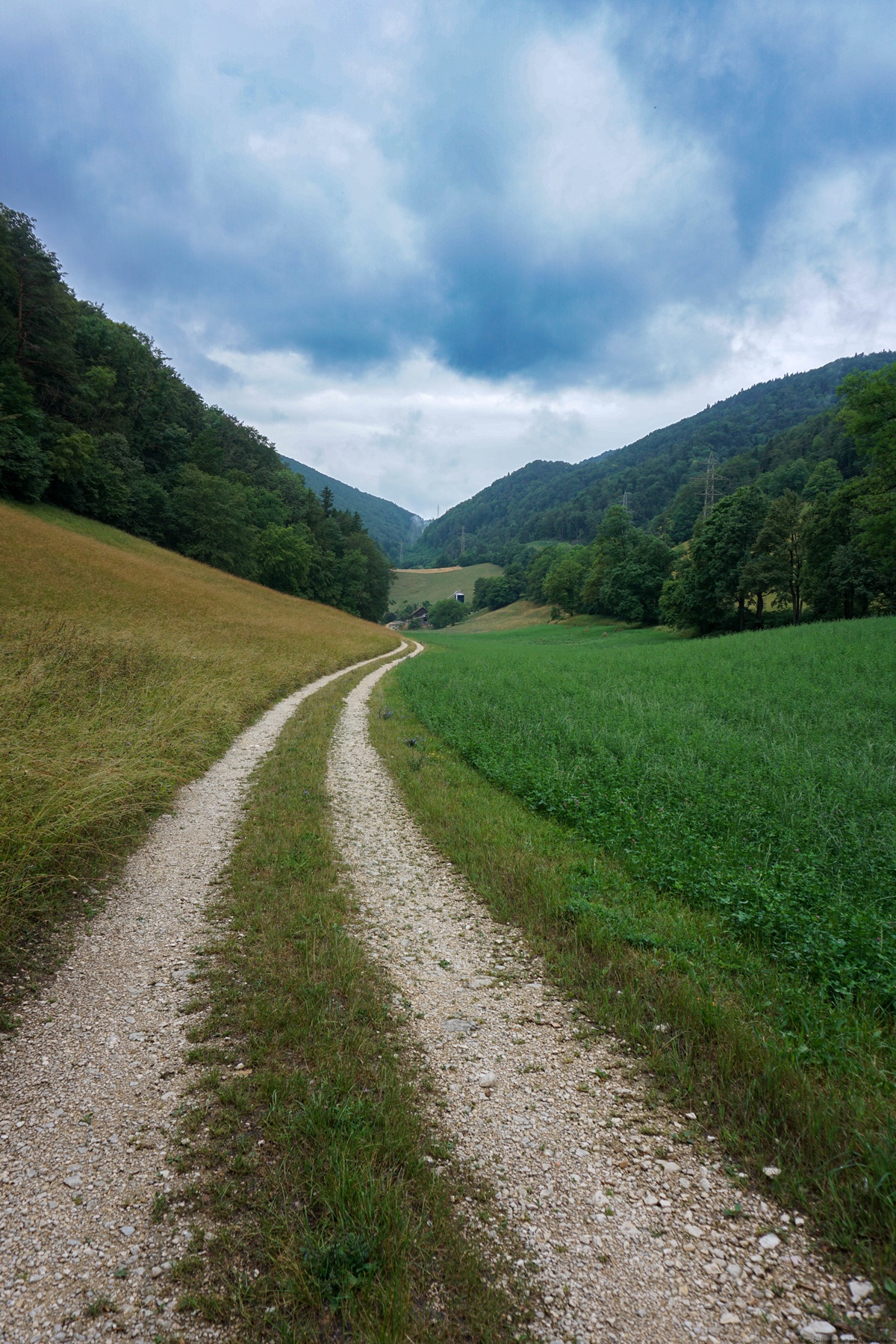
Leaving Laufen, follow the trail through residential areas to the top of the hill between Birse and Lützel. This river crosses higher the Kleinlützel enclave in Solothurn Canton, known in French as Petite-Lucelle.
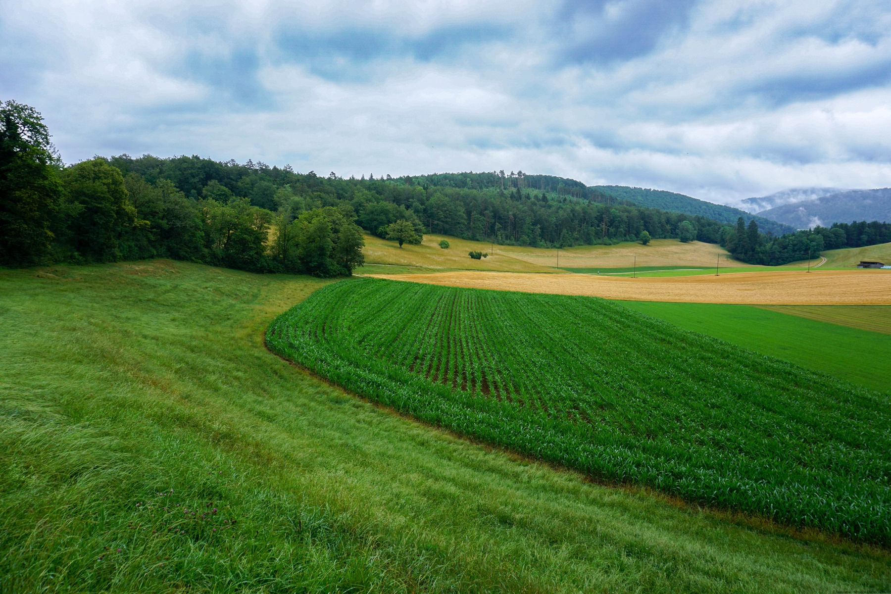
After climbing a bit down the valley and crossing the stream, we then start the steep climb to the fields facing the village of Röschenz. Behind this village, we see the last elevations of the non-folded Jura before the dive into the Birsig valley. The national border in this valley is a bit complex. Rodersdorf at the top of the valley is in the canton of Solothurn, Leymen a little further down in France and Benken in the semi-canton of Basel-Country.
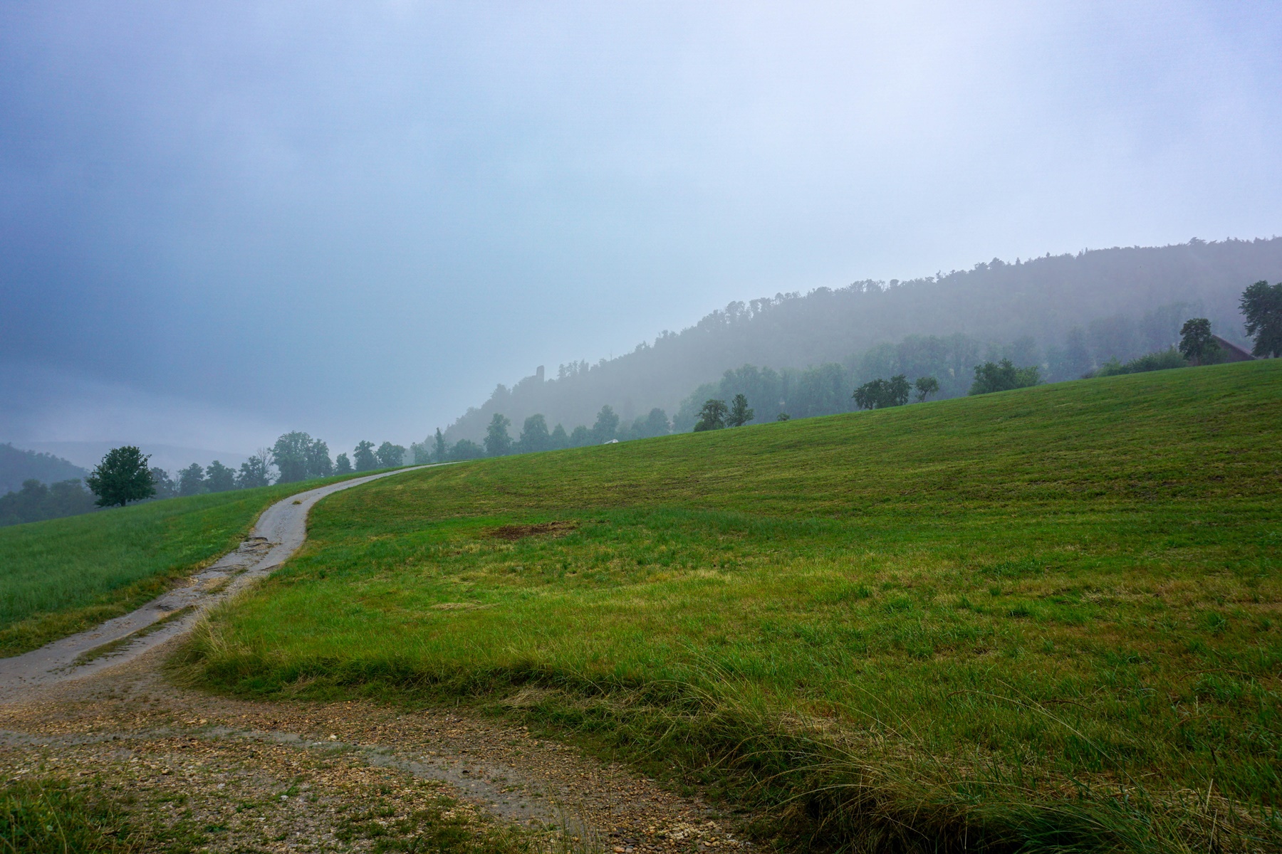
Further on, we made a short foray into the canton of Solothurn, where the village of Huggerwald near Kleinlützel is located. However, after crossing a small pass near the Räschberg, we return to the semi-canton of Basel-Country.
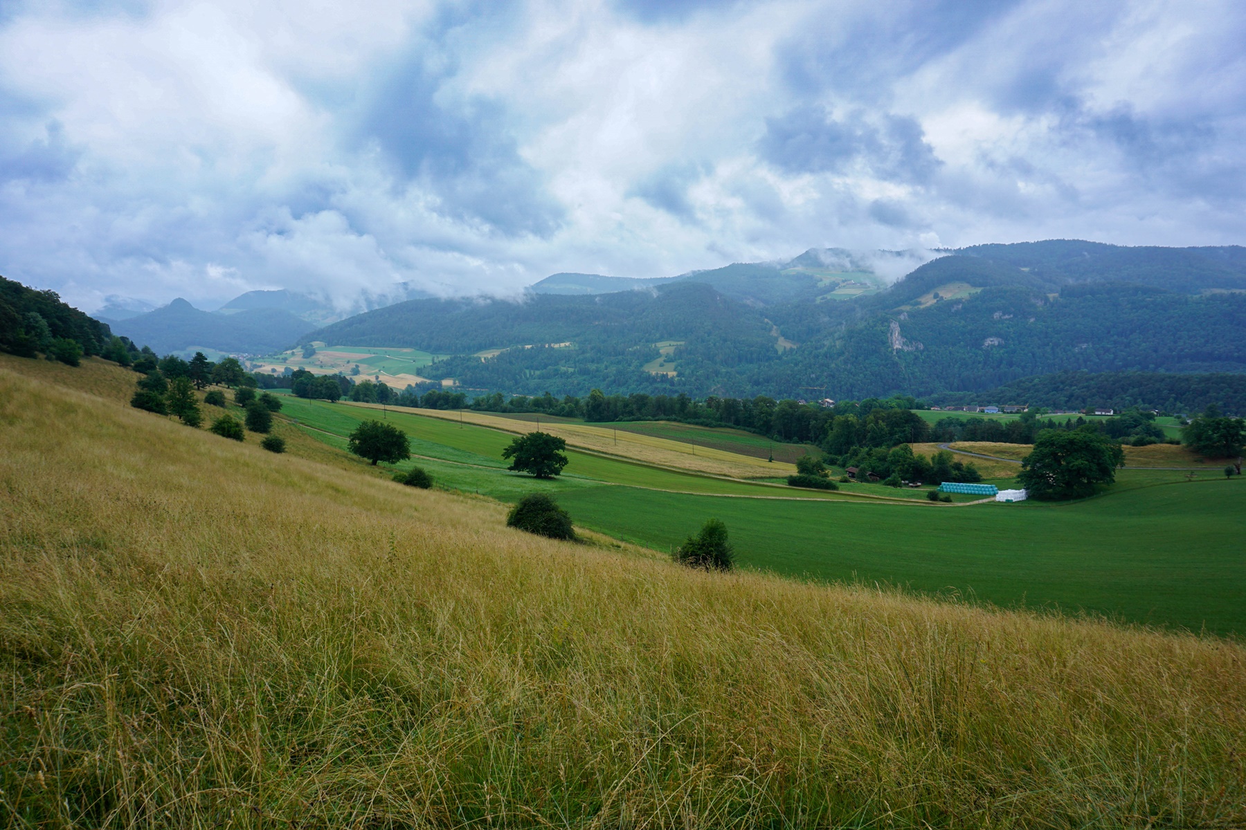
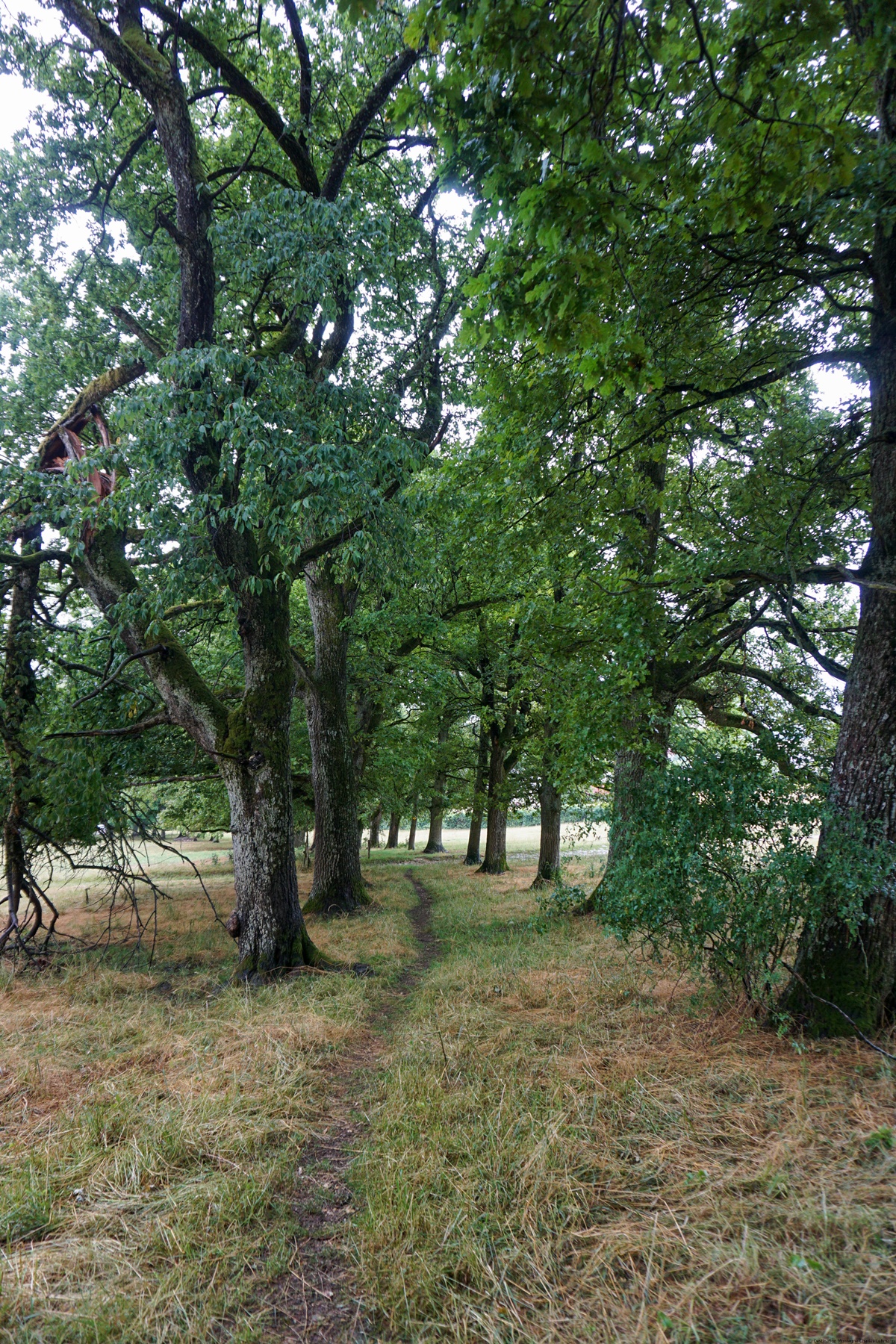
After a long hillside crossing, we descend into a small valley through which the Réselle flows, and which feeds the homonymous pond below. This pond is a fishing high spot.
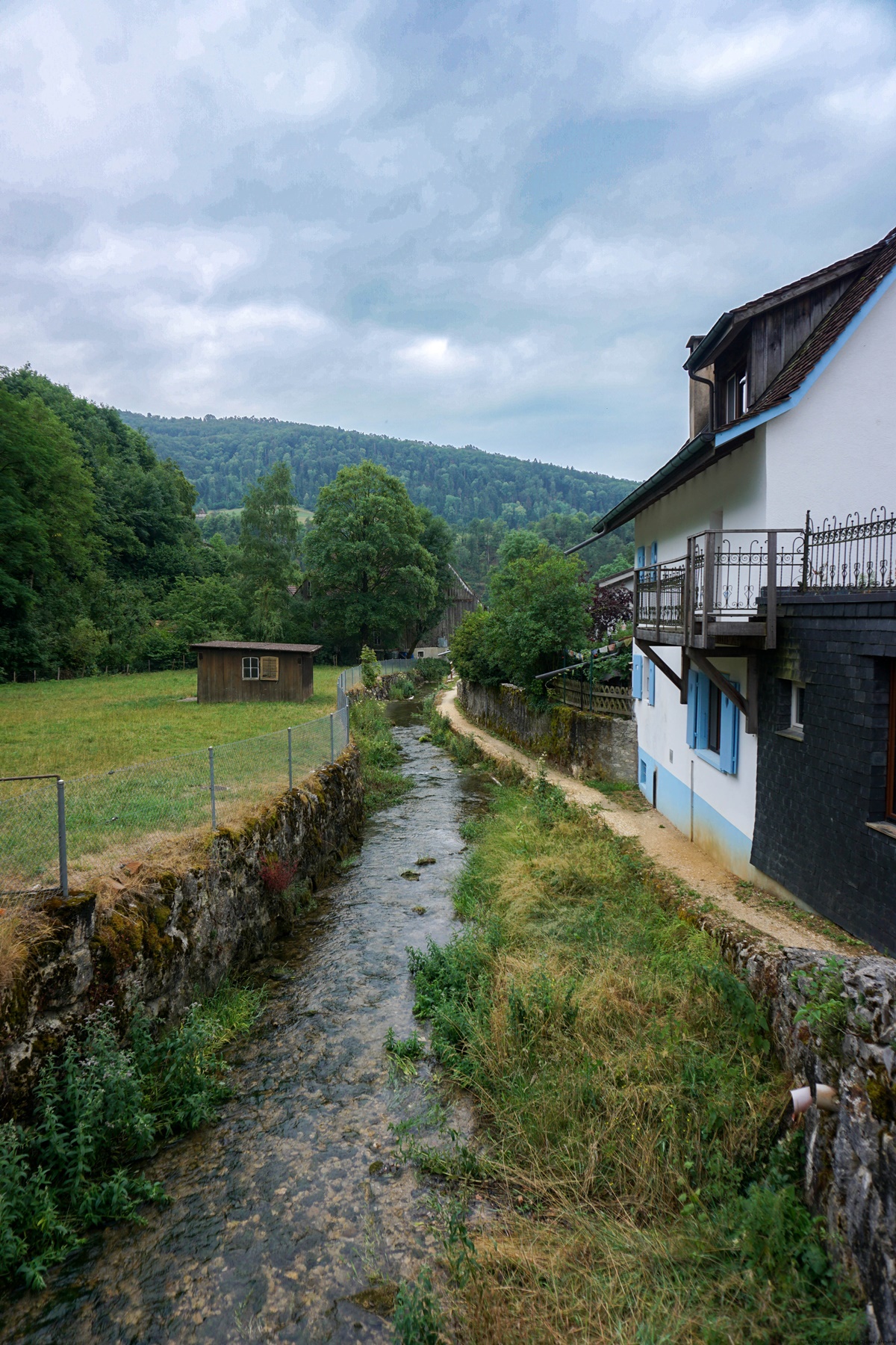
If you continue down the valley, you will arrive at the village of Soyhières. If you look around the houses, you will notice that flood prevention devices have been installed here and there. In fact, in the event of heavy thunderstorms, the Réselle can rise out of its bed.
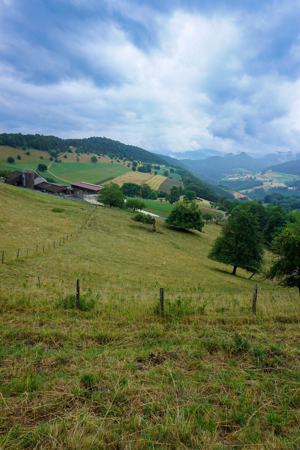
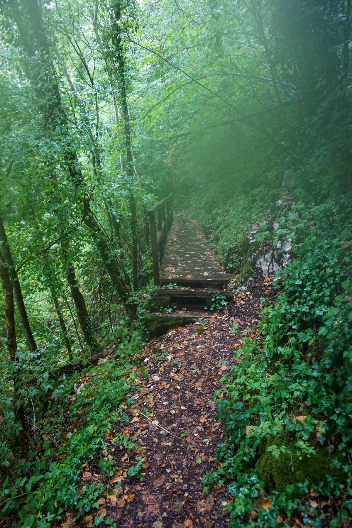
To reach Delémont from Soyhières, you can stay at the bottom of the valley, following the Birse on the other bank. However, it is better to climb a little to reach the Ruins of the Castle of Vorbourg. It was on the way up towards Vorbourg that we experienced a heavy downpour, so that the terrain quickly became completely wet. On the way up to the ruin, we pass the First Vorbourg, which houses a restaurant. In view of the rain, we did not pass the Vorbourg Chapel to climb to the Ruin, but we climbed directly, along the marked path.
Route: Laufon – Huggerwald – Albach – La Réselle – Soyhières – Vorbourg – Delémont
Distance: 21Km
Altitude gain: 700m
Duration: 5h45

 Previous Post
 Next Post