[:fr]
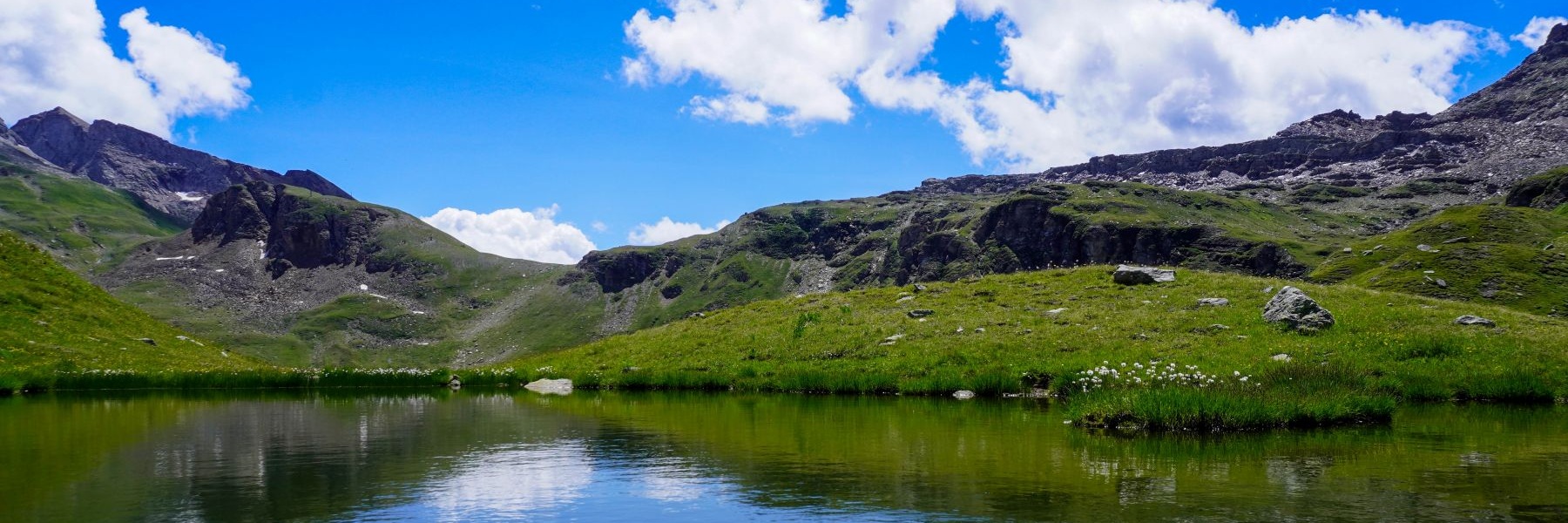
Il y a quelques années, la fondation Suissemobile avait commencé à faire la promotion d’itinéraires de grande randonnée. Au début, j’étais un peu dubitatif, mais après avoir testé quelques itinéraires, je peux affirmer qu’ils sont en général très bien conçus et permettent de découvrir des lieux peu habituels. Cela vaut également pour les itinéraires cyclistes, que j’avais également testés.
Après avoir lu le livre « la Suisse de travers » de Daniel de Roulet, dans lequel il décrit une partie de l’itinéraire no. 2 (Trans Swiss Trail), j’avais eu envie d’en parcourir quelques morceaux. Le « Trans Swiss Trail » part de Porrentruy, traverse le Jura pour déboucher sur les quais à Neuchâtel. Depuis là, il est prévu de traverser le lac en bateau jusqu’à Portalban pour pouvoir poursuivre le périple. Malheureusement, les horaires de la compagnie de navigation des trois lacs ne permettent pas de se rendre en matinée à Portalban depuis Genève. C’est pourquoi j’avais opté pour le train et le bus. De plus, je recommande d’effectuer ce tronçon en dehors du plein été, car il doit faire bien chaud à certains endroits à ce moment-là.
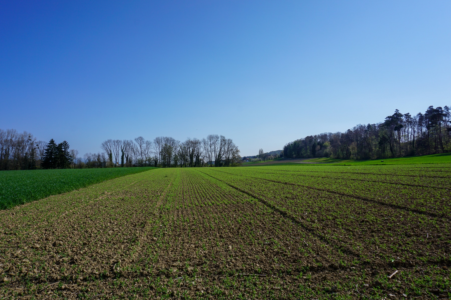
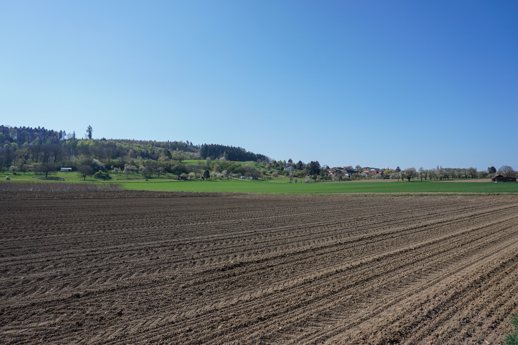
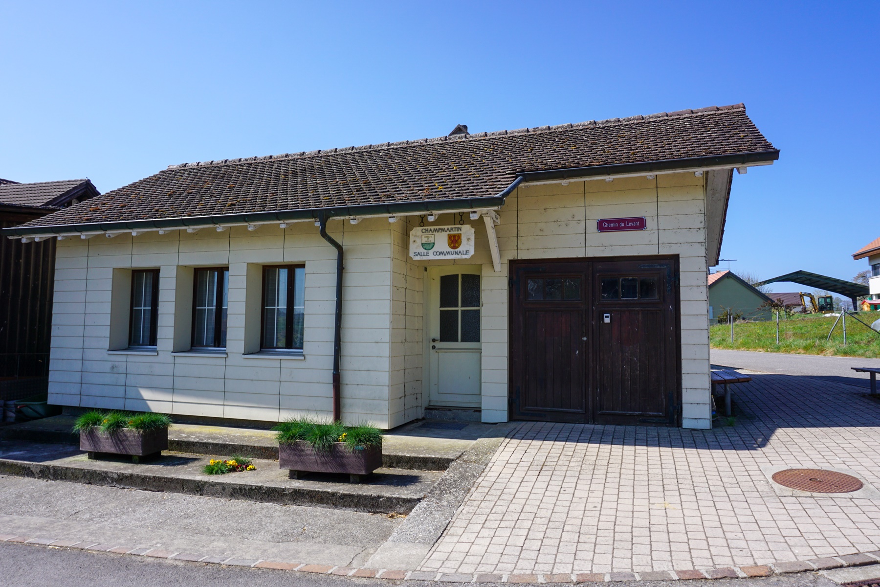
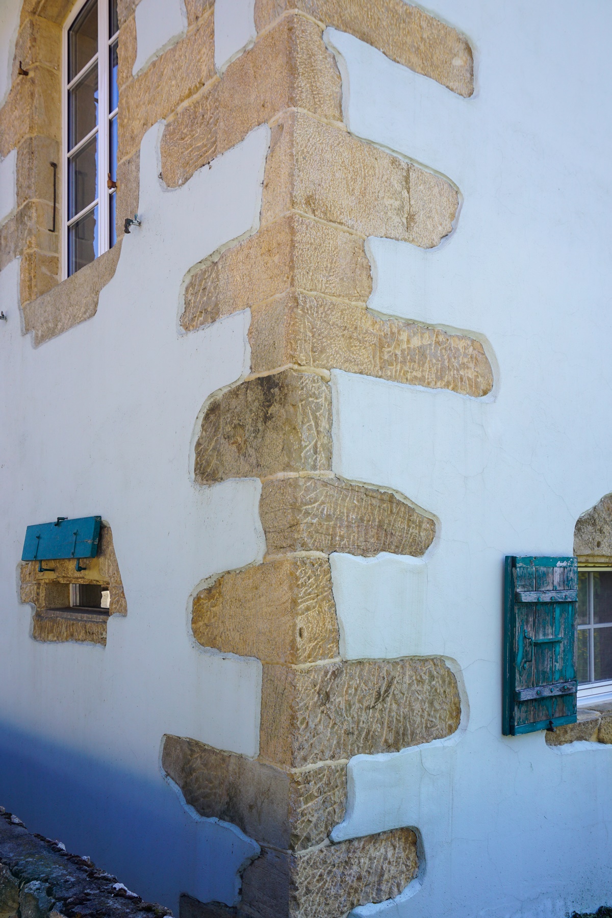
L’itinéraire, au départ de Portalban, s’écarte des rives du lac pour gagner les villages se trouvant un peu plus sur les hauteurs. Il existe certes un chemin longeant les rives du Lac de Neuchâtel, mais comme des roselières s’y trouvent, on n’a pas de vue. On se rend donc à Chabrey et Champmartin avant de descendre sur Cudrefin. Même si Portalban se trouve sur le territoire du canton de Fribourg, on pénètre, près de Chabrey en territoire Vaudois, que l’on ne quittera qu’au Canal de la Broye.
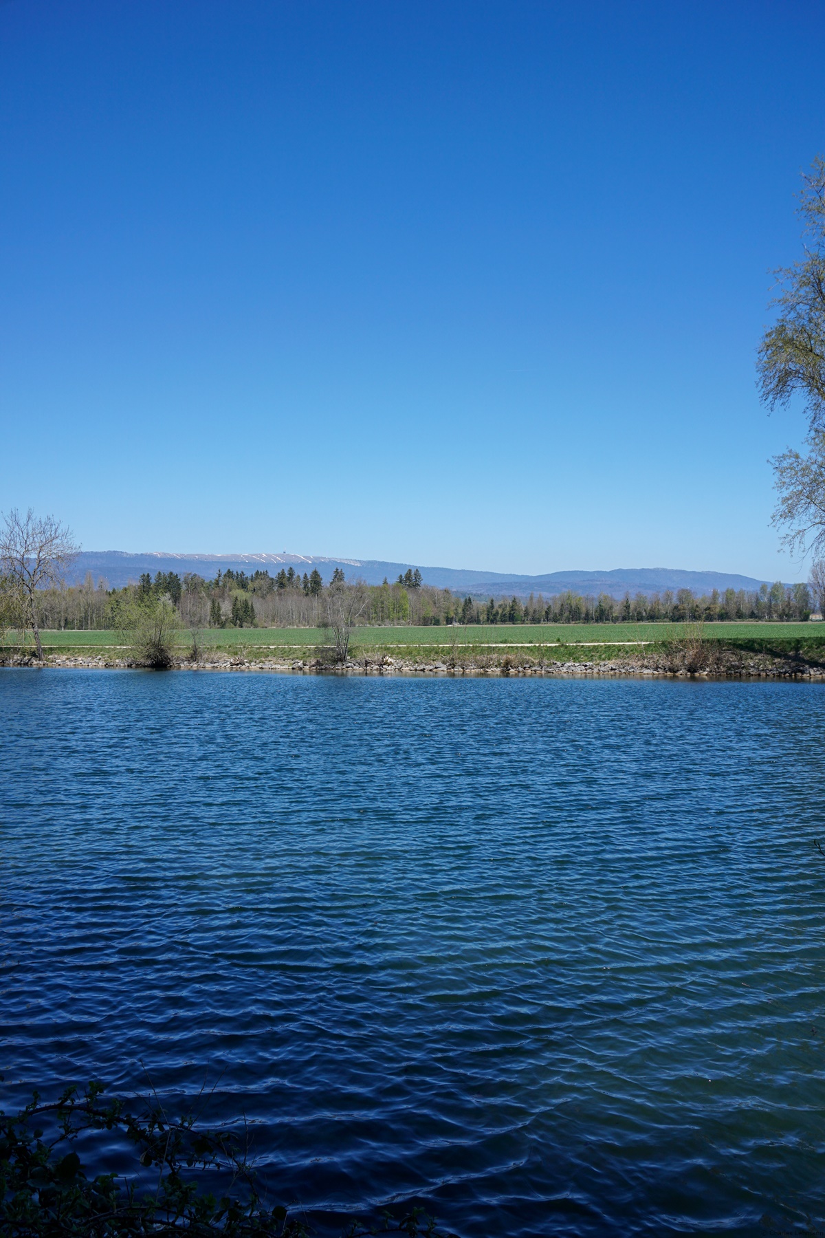
Entre Cudrefin et le Canal de la Broye, on suit un tronçon assez monotone de sentier traversant un bout de réserve faisant partie de celle de la Grande Cariçaie. Les points de vue sur le lac y sont rares et ce n’est qu’au Canal, que l’on a à nouveau une vue dégagée sur le Jura.
Une fois le canal atteint, on le suit un bout (jusqu’au lieu-dit le Tonkin… est-ce parce que le terrain y était marécageux ? Quoi qu’il en soit, il me semble avoir vu des levées de terre pour des rizières) et on ne tarde pas à commencer l’ascension du Mont Vully. Le Mont Vully a ceci de surprenant que vu depuis le bas, on n’imagine pas qu’il s’agit en fait d’un large plateau entouré de talus assez raides.
Le sommet du Mont Vully comprend quelques reliques de constructions Gallo-Romaines, ainsi que d’autre datant de la première guerre mondiale. Selon le conte « Le fils du sorcier », c’est au sommet du Mont Vully qu’avait lieu la « chette » (sabbat de sorciers).
[:en]A few years ago, the Suissemobile Foundation started to promote long-distance hiking routes. At first, I was a little skeptical, but after testing a few routes, I have to recognize that they are generally very well designed and allows one to discover unusual places. This also applies to the cycle routes, which I had also tested.
After having read Daniel de Roulet’s book « La Suisse de travers », in which he describes part of route no. 2 (Trans Swiss Trail), I had the project to follow a few sections. The « Trans Swiss Trail » starts from Porrentruy, crosses the Jura to reach the quays in Neuchâtel. From there, the route is foreseeing to cross the lake by boat to Portalban to continue the journey. Unfortunately, the schedules of the Navigation Company of the Three Lakes does allow a morning trip to Portalban from Geneva. That is why I opted for the train and the bus. Also, I recommend doing this stretch outside of midsummer as it might get hot in some places at this time.
The route, departing from Portalban, starts from the shores of the lake to climb to the villages located a little further on the heights. There is certainly a path along the shores of Lake Neuchâtel, but as there are reed beds there, there is little view. I therefore went to Chabrey and Champmartin before going down to Cudrefin. Even though Portalban is in the territory of the canton of Fribourg, one enters in the territory of the Canton of Vaud near Chabrey, which onr will only leave at the Canal de la Broye.
Between Cudrefin and the Canal de la Broye, one followd a monotonous section of path crossing a part of the reserve forming part of that of the Grande Cariçaie. The views of the lake are scarce there and it is only near the Canal that one once again has a clear view of the Jura.
Once one has reached the canal, one follows it for a bit (to the place called Tonkin … is it because the ground was marshy? Anyway, I guess that there are rice fields) and it was not long before one starts climbing Mont Vully. Mont Vully is surprisingly in that, seen from the bottom, one could not imagine that it is in fact a wide plateau surrounded by rather steep embankments.
The summit of Mont Vully includes some relics of Gallo-Roman constructions, as well as others dating from the First World War. According to the tale « The Sorcerer’s Son », it was at the top of Mont Vully that the « chette » (witches’ sabbath) took place.
[:de]
Vor einigen Jahren begann die Stiftung Schweizmobil, Fernwanderwege zu fördern. Anfangs war ich etwas skeptisch, aber nachdem ich einige Routen getestet hatte, darf ich sagen, dass sie im Allgemeinen sehr gut gestaltet sind und es jemanden ermöglicht, ungewöhnliche Orte zu entdecken. Dies gilt auch für die Radwege, die ich ebenfalls getestet hatte.
Nachdem ich Daniel de Roulets Buch « La Suisse de travers » gelesen hatte, in dem er einen Teil der Route Nr. 2 (Trans Swiss Trail) beschreibt, wollte ich einige Strecken wandern. Der « Trans Swiss Trail » startet in Porrentruy und überquert den Jura, um an die Kais in Neuenburg zu erreichen. Von dort wäre der Plan, den See mit dem Boot nach Portalban zu überqueren, um die Reise fortzusetzen. Leider erlauben die Fahrpläne der Schiffart-gesellschaft der drei Seen keine morgendliche Anreise von Genf nach Portalban. Deshalb habe ich mich für den Zug und den Bus entschieden. Ausserdem empfehle ich, diese Strecke außerhalb des Hochsommers zu machen, da es an einigen Stellen zu diesem Zeitpunkt sehr heiss werden kann.
Die Route, die von Portalban startet, führt von den Ufern des Sees zu den Dörfern, die sich etwas weiter oben auf den Höhen befinden. Es gibt sicherlich einen Weg entlang des Ufers des Neuenburger Sees, aber da es dort Schilfgärten gibt, gibt es keine Aussicht. Daher geht man nach Chabrey und Champmartin, bevor man nach Cudrefin geht. Obwohl sich Portalban auf dem Gebiet des Kantons Freiburg befindet, betreten wir in der Nähe von Chabrey das Gebiet der Waadt, das wir nur am Canal de la Broye verlassen werden.
Zwischen Cudrefin und dem Canal de la Broye folgen wir einem ziemlich eintönigen Wegabschnitt, der einen Teil des Reservats kreuzt, der Teil des Grande Cariçaie ist. Die Aussicht auf den See ist dort selten und nur am Kanal hat man wieder freie Sicht auf den Jura.
Sobald man den Kanal erreicht hat, folgt man ihn, während einen Abschnitt (bis zu dem Ort namens Tonkin … liegt es daran, dass der Boden sumpfig war? Wie auch immer, es scheint mir Reisfelder gesehen zu haben) und es dauert nicht lange bis man beginnt den Mont Vully zu besteigen. Der Mont Vully ist überraschenderweise so, dass man sich von unten nicht vorstellen kann, dass es sich tatsächlich um ein breites Plateau handelt, das von ziemlich steilen Böschungen umgeben ist. Auf dem Gipfel des Mont Vully befinden sich einige Relikte galloromanischer Bauten sowie andere aus dem Ersten Weltkrieg. Nach der Sage « Der Sohn des Zauberers » fand auf dem Gipfel des Mont Vully die « Chette » (Hexensabbat) statt.
[:]

Article précédent
Article suivant