
Avant de parler de la randonnée effectuée ce jour-là, il faut préciser un point par rapport à cette destination. Le Vully est d’abord une région couvrant les deux cantons de Fribourg et de Vaud. C’est ainsi que lorsque l’on fait référence aux vins du Vully, il s’agit toujours de savoir s’il s’agit du vignoble vaudois ou du fribourgeois. Le Vully est également une colline appelée Mont Vully, colline qui est chargée d’histoire et de légendes. Historiquement, le Mont Vully a été occupé dès le mésolithique et a été utilisé jusque dans l’histoire moderne à cause de sa position stratégique. Le Mont Vully est également le lieu d’un certain nombre de légendes puisque l’on prétend qu’à son sommet avaient lieu des « chettes », donc des sabbats de sorciers.
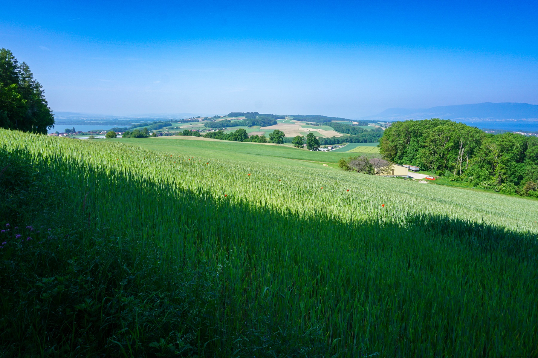
Situé entre les lacs de Morat et de Neuchâtel, le Mont Vully, malgré le fait qu’il soit d’altitude modeste, offre de beaux points de vue sur les Alpes et le Jura. De plus, les curiosités qui s’y trouvent permettent d’effectuer de jolies randonnées à la fois contemplatives et culturelles.
Le point de départ idéal pour cette randonnée se trouve à Sugiez que l’on peut facilement atteindre en train. Depuis la gare, il suffit alors de traverser le Canal de la Broye pour atteindre le centre du village. C’est depuis le centre que commence l’ascension du Mont Vully. Il s’agit pour cela de monter d’abord dans le vignoble pour traverser à flanc de coteau et rejoindre la petite combe du Vau de Nant.
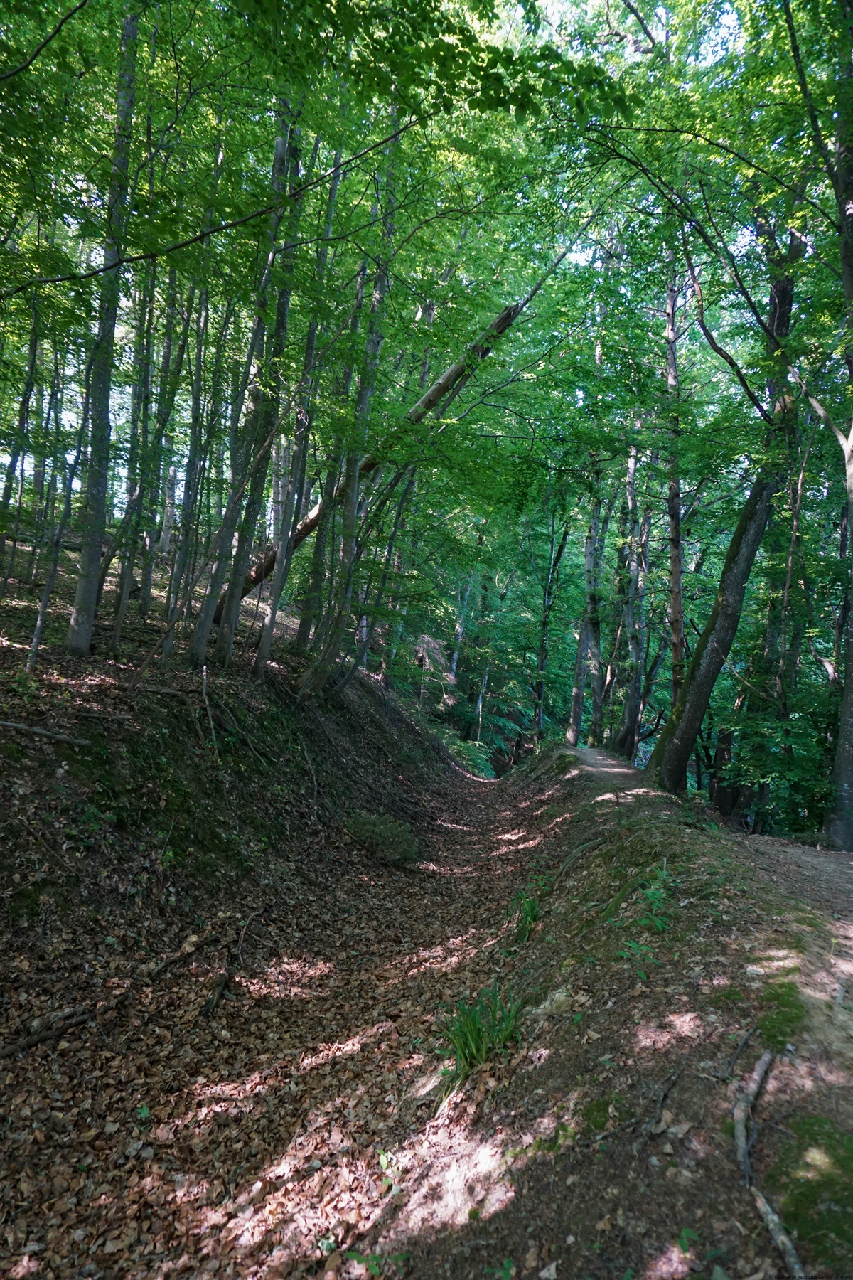
A partir de là, on continue en direction de Plan Châtel en traversant par alternance des prés et des forêts. A Plan Châtel, on se trouve non loin du point culminant. Le toponyme de Plan Châtel n’est pas tout à fait surprenant, puisque qu’un oppidum helvète se trouvait au sommet de la colline. A cet endroit, on bénéficie en effet d’une vue panoramique sur toute la région. Et ce d’autant plus qu’il faut s’imaginer qu’aux temps reculés, il ne devait pas y avoir d’arbres cachant la vue. C’est également la raison pour laquelle l’endroit a été aménagé durant les deux dernières guerres mondiales. Aménagé, ou réaménagé, faudrait-il dire, puisque les travaux ont dû, par endroits bouleverser les vestiges anciens. Mais qui se souciait alors de l’histoire ancienne ?
Pour la suite de la randonnée, il faut suivre les indications et les balises pour aller en direction de Cudrefin. On doit alors suivre un tronçon de la route goudronnée avant de plonger dans la forêt. On traverse ensuite à flanc de coteau dans les sous-bois pour rejoindre la Pierre Agassiz. Ce bloc erratique est également nommé le « Palet Roulant ». En effet, comme dans beaucoup de légendes similaires, ce gros bloc ferme l’entrée d’un monde souterrain, ou d’un trésor en d’autres lieux, bloc qui ne se déplace pour dégager l’ouverture qu’à un moment précis (pleine lune, veillée de Noël, …) et durant un court moment. Gare à celui qui s’y aventurerait et s’y attarderait trop longtemps. C’était, à l’époque, un moyen d’éduquer la population afin qu’elle ne se montre pas trop curieuse.
Après le bloc erratique, on continue un bout pour, plus loin, quitter l’itinéraire pour Cudrefin et monter en direction de la Fin des Fourches. Sur la colline, on atteint alors un site avec des explicatifs concernant les constructions datant de la première guerre mondiale. Même si les panneaux explicatifs, avec photos, laissent une impression de nonchalance, il ne faudrait pas oublier que l’on se souciait peu du confort de la troupe à l’époque. Même si une majeure partie de la troupe était issue d’un milieu rural et pauvre, les conditions de vie qu’il leurs était imposées, feraient scandale aujourd’hui. N’y voyez pas de regrets dans mes propos, mais je pense encore à mes ancêtres qui avaient été mobilisés.
Après avoir entamé la descente et traversé la route, on passe devant les « Grottes des Roches Grises ». Ces grottes sont en fait des restes de fortifications qui avaient été taillées dans le grès durant la première guerre mondiale. On peut s’y aventurer et observer les travaux qui avaient été effectués durant cette période. Après être descendu un chemin raide et raboteux, on rejoint le chemin traversant le vignoble à flanc de coteau. Il suffit alors de suivre celui-ci pour retrouver l’itinéraire de départ.
Itinéraire : Sugiez (débarcadère) – Vau de Nant – Plan Châtel – Mont Vully – Pierre Agassiz (ou Palet Roulant) – Grottes des Roches Grises – Les Cutres – Sugiez (débarcadère)
Distance : 10,5Km
Dénivellation : 380m
Durée : 3h30
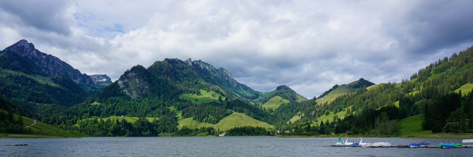
![[:fr]Paysage de montagne[:en]Mountain scenery[:de]Berglandschaft[:]](https://destination-montagne.ch/wp-content/uploads/2023/05/230519_Roche_Plate_001-150x150.jpg) Article précédent
Article précédent![[:fr]Paysage de montagne[:en]Mountain scenery[:de]Berglandschaft[:]](https://destination-montagne.ch/wp-content/uploads/2023/05/230529_Gurnigel_060-150x150.jpg) Article suivant
Article suivant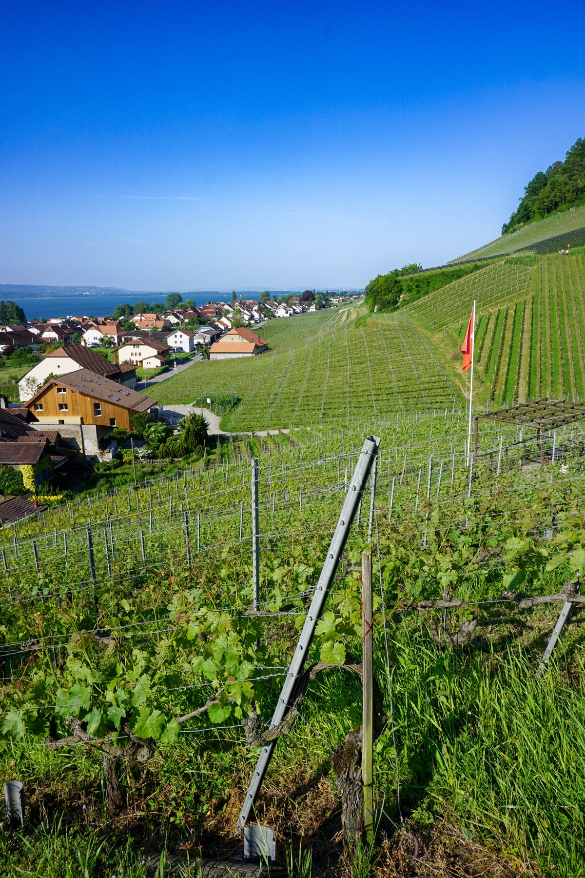