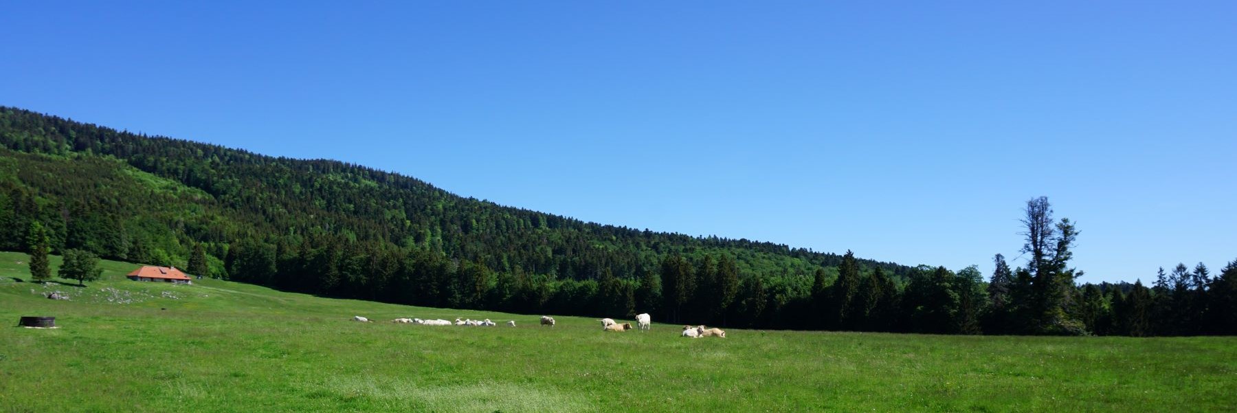
If we look at the national map online and display the network of marked trails, we realize that there are a few belvederes above the Doubs near La Chaux-de-Fonds. Some are known as that of the Roche Guillaume or higher, the Escarpineau. However, there is another under the Sombaille: La Roche Plate. Not piqued, I had to take a closer look.
From La Chaux-de-Fonds, start by following the path leading to Les Joux Derrières. We then follow the paved road passing through La Sombaille before crossing the meadows to reach Les Joux Derrière. We cross the Route des Planchettes further down and then take the path down to the banks of the Doubs. After passing the L’Abbaye, you reach a forest path that you follow to reach the junction for La Roche Plate.
From the fork, it doesn’t take long to reach the Roche Plate, which bears its name well. Indeed, when you arrive on the spot, you find yourself on a beautiful terrace overlooking the Doubs. Unfortunately, the vegetation somewhat hides the view of the river. However, given the remains of the hearth, the location seems very popular for grilling or “torrée”.
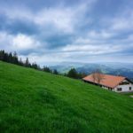
Back on the forest path, I followed this one, which evolves on the hillside, to reach the Combe de la Sombaille. I went up this one, quite wet and steep, to reach the Haut-des-Combes. From this last place, I went down to La Chaux-de-Fonds passing near the Bois du Petit Château.
Itinerary: La Chaux-de-Fonds – La Sombaille – Les Joux Derrières – La Roche Plate – The Combe de la Sombaille – Haut-des-Combes – La Chaux-de-Fonds Distance: 11Km Altitude gain: 530m Duration: 3h30

 Previous Post
 Next Post