
Before talking about the hike of that day, I must clarify a point in relation to this destination. The Vully is first and foremost a region covering the two cantons of Fribourg and Vaud. This is why when one refers to the wines of Vully, it is always a question of knowing if it is about the vineyard of Vaud or Fribourg. The Vully is also a hill called Mont Vully, a hill that is steeped in history and legends. Historically, Mont Vully has been occupied since the Mesolithic period and has been used until modern history because of its strategic position. Mont Vully is also the place of a certain number of legends since it is claimed that at its summit took place “chettes”, therefore witches dances.
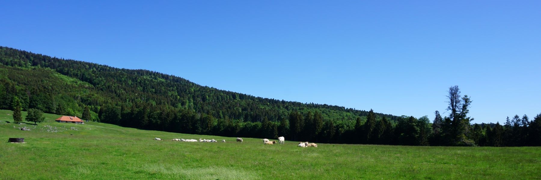
Located between the lakes of Morat and Neuchâtel, Mont Vully, even though it is of modest altitude, offers beautiful views of the Alps and the Jura. In addition, the curiosities that are present allow one to make beautiful hikes that are both contemplative and cultural.
The ideal starting point for this hike is in Sugiez, which can easily be reached by train. From the station, all you must do is cross the Canal de la Broye to reach the center of the village. It is from the center that the ascent of Mont Vully begins. For this, you must first climb through the vineyard to cross the hillside and reach the small valley of Vau de Nant.
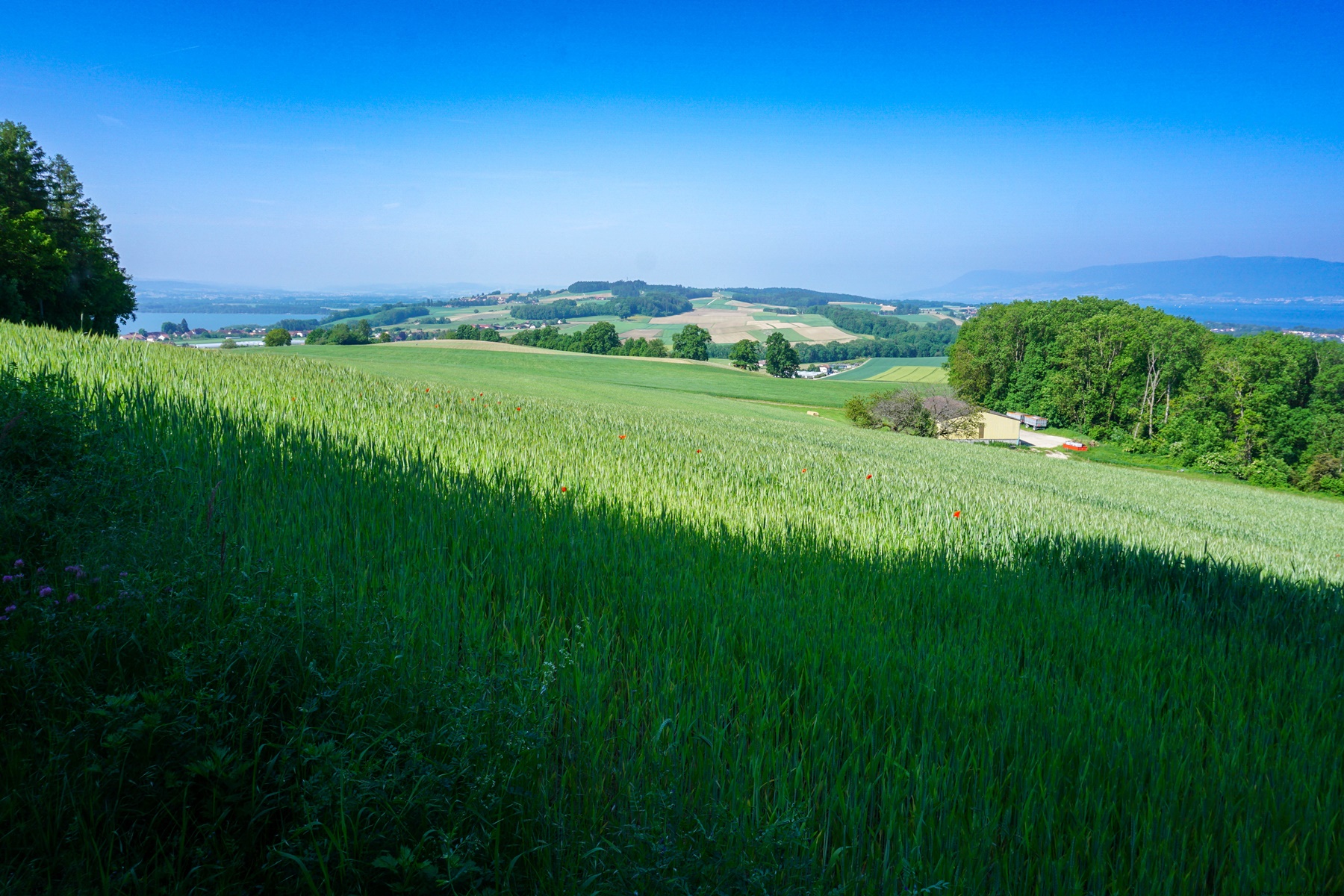
From there, continue towards Plan Châtel, crossing meadows and forests alternately. At Plan Châtel, you are not far from the highest point. The toponym of Plan Châtel is not entirely surprising, since an oppidum from Helvetians was at the top of the hill. From this place, you benefit from a panoramic view of the entire region. And even more so since you must imagine that in remote times, there must not have been any trees hiding the view. This is also the reason why the place was developed during the last two world wars. Fitted out, or refitted, one would have to say, since the work had to upset the old vestiges in places. But who cared about ancient history then?
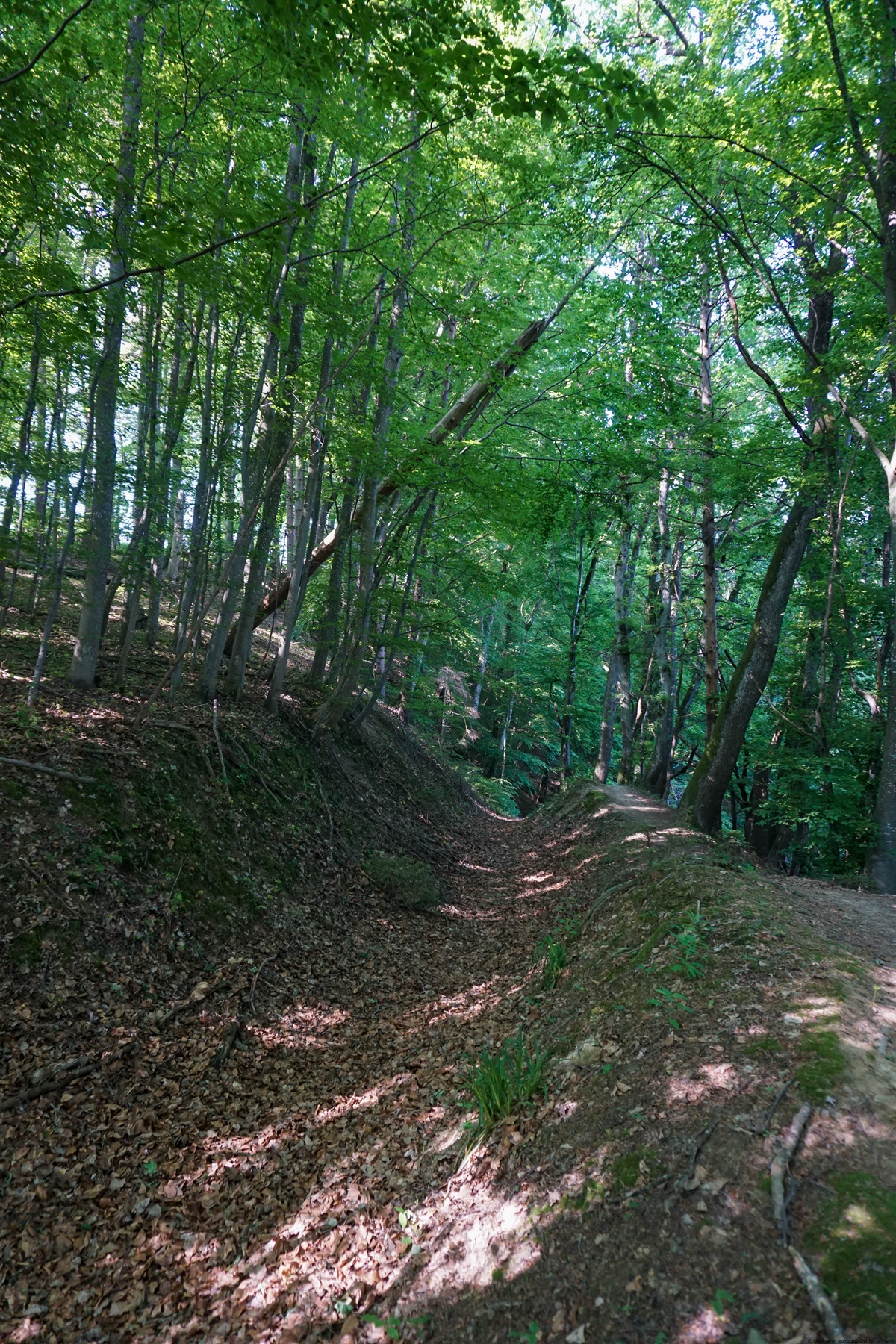
For the rest of the hike, you must follow the indications and the mark signs to go in the direction of Cudrefin. We must then follow a section of the paved road before plunging into the forest. You then cross the hillside in the undergrowth to reach Pierre Agassiz. This erratic block is also called the “Palet Roulant”. Indeed, as in many similar legends, this large block closes the entrance to an underground world, or to a treasure in other places, a block which only moves to clear the opening at a specific moment. (Full moon, Christmas Eve, …) and for a short time. Beware of anyone who ventures into there and lingers too long. It was, at the time, a way of educating the population so that they would not be too curious.
After the erratic block, continue for a bit to, further on, leave the route for Cudrefin and climb towards the Fin des Fourches. On the hill, we then reach a site with explanations concerning the constructions dating from the First World War. Even if the explanatory panels, with photos, leave an impression of nonchalance, we should not forget that they did not care much about the comfort of the troop at the time. Even if a major part of the troop came from a rural and poor environment, the living conditions imposed on them would cause scandal today. Do not see any regrets in my words, but I still think of my ancestors who had been mobilized.
After starting the descent and crossing the road, you pass in front of the “Grottes des Roches Grises”. These caves are in fact the remains of fortifications that had been carved out of sandstone during the First World War. You can venture in there and observe the work that was carried out during this period. After descending a steep and rugged path, you reach the path crossing the vineyard on the hillside. It is then enough to follow this one to find the route of departure.
Itinerary: Sugiez (landing stage) – Vau de Nant – Plan Châtel – Mont Vully – Pierre Agassiz (or Palet Roulant) – Grottes des Roches Grises – Les Cutres – Sugiez (landing stage)
Distance: 10.5km
Altitude gain: 380m
Duration: 3h30
 Previous Post
 Next Post
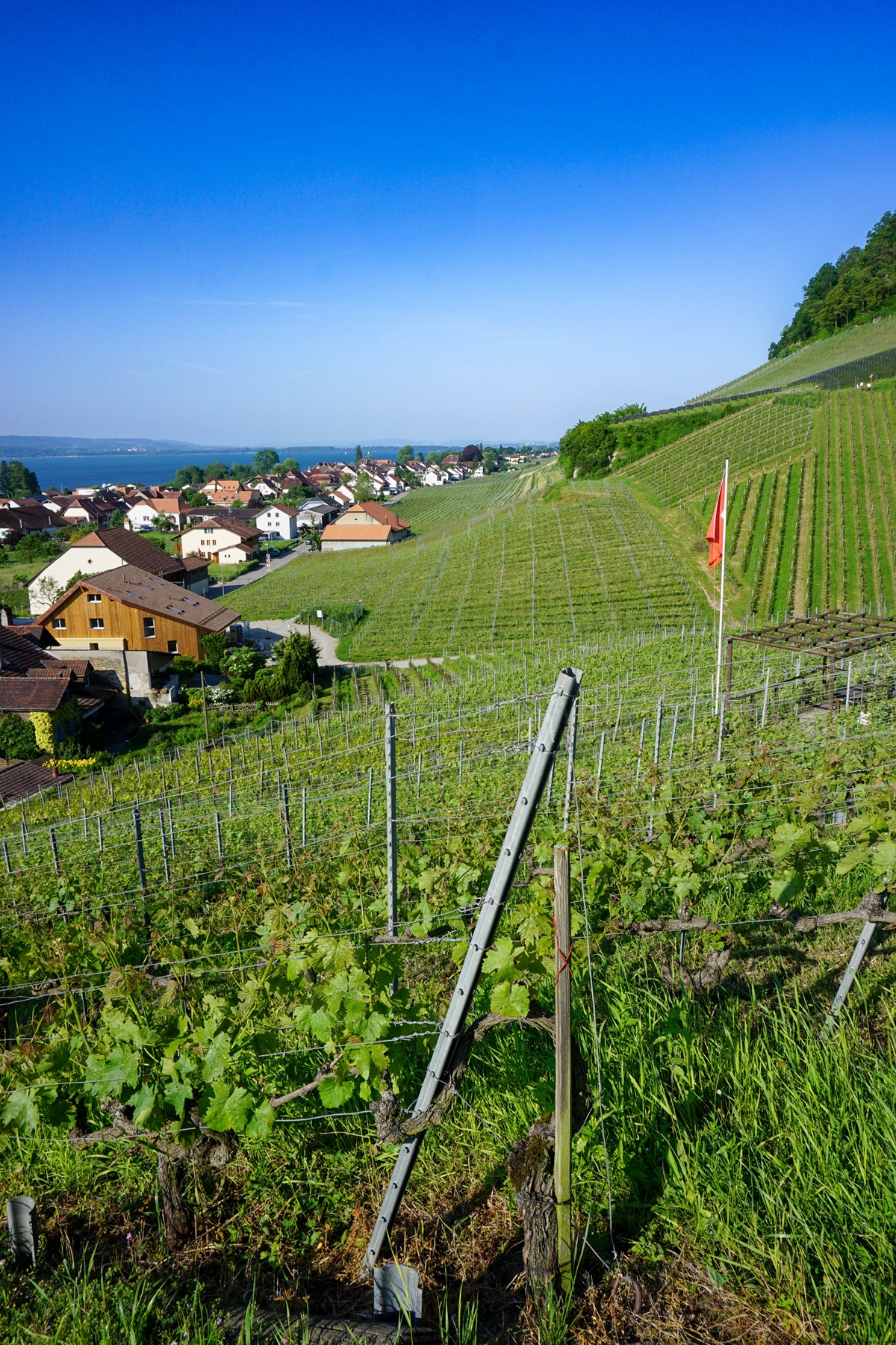