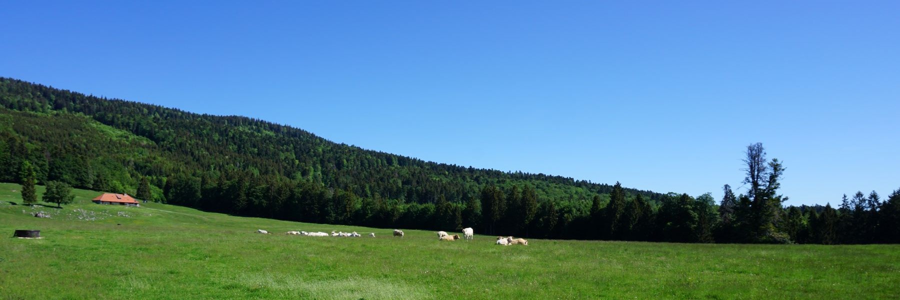
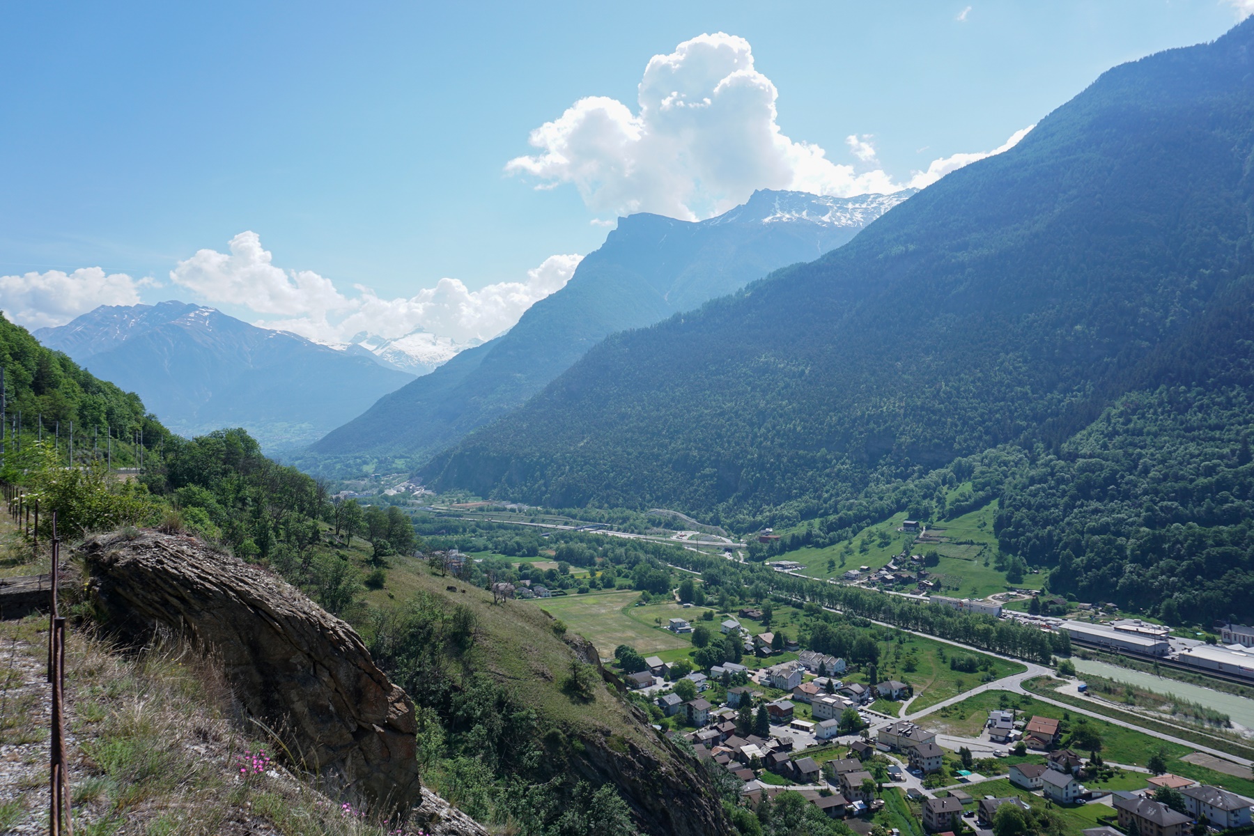
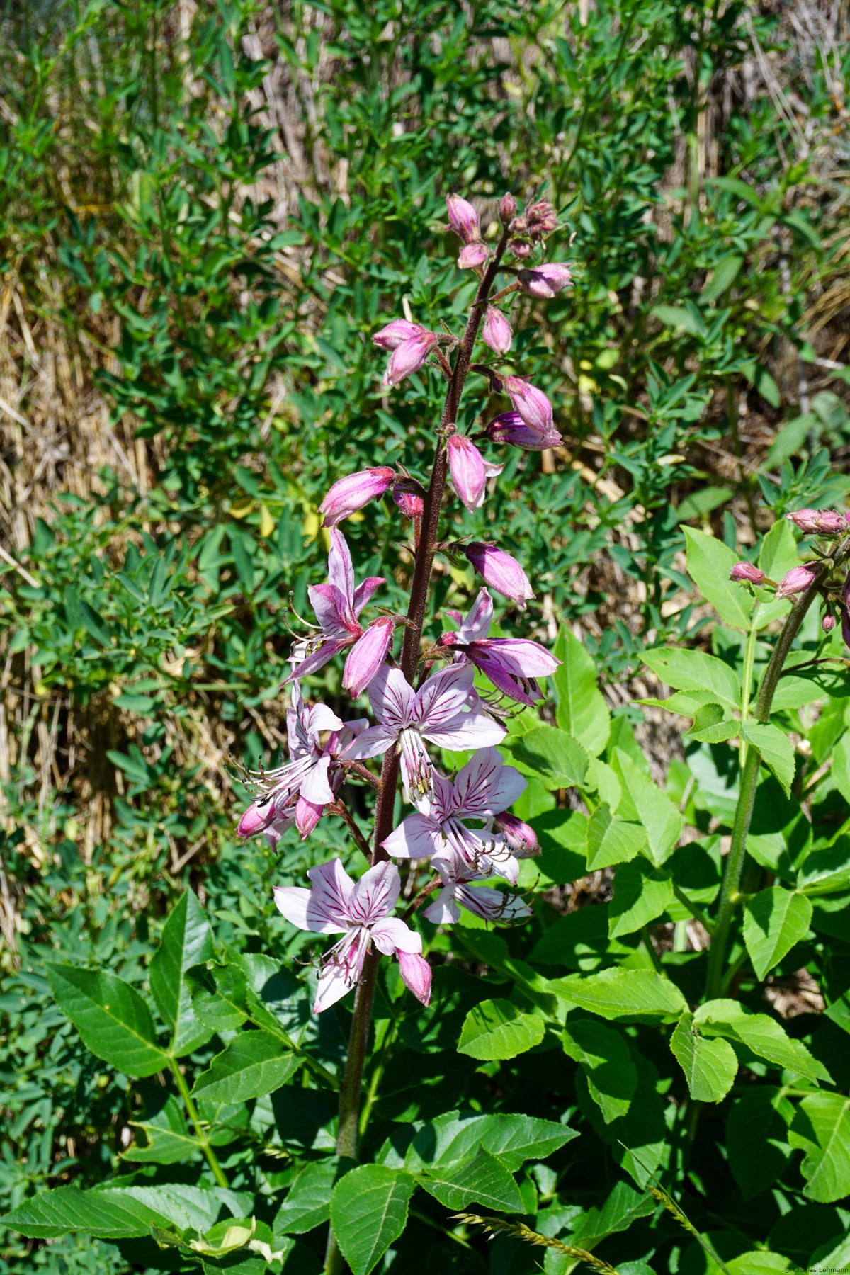
The route presented here was in the past called “the South Ramp of the Lötschberg”. This route started from Hohtenn station and followed as closely as possible the railway tracks of the Lötschberg line between this station and Brig. The new route called “The Sun Trail” takes up this old route, between Eggerberg and Brig. In the 90s, a significant promotion had been made for this route, in particular because of the flora found there. However, one was then confronted with rather unsavory encounters. Indeed, the train cars of that time were not air-conditioned, and the windows could therefore be opened. In addition, the toilets, instead of being chemical like today, were materialized by a simple pipe leading directly to the tracks. So, one found, along the path, broken glass, and remnants of toilet paper. The rolling stock having been completely changed one no longer sees these inconveniences. In addition, with the inauguration of the base tunnel, traffic is significantly reduced. A note about the altitude gain: even if overall, the path is descending, one should not underestimate the climbs that one will encounter because, in the end, one reaches almost 500m of altitude gain.
Departing from Eggerberg, which is a destination easily reachable by train, one starts by climbing a short stretch to reach and follow a first Bisse: The Laldneri (which could be translated as “the one of Lalden”). When crossing the Finnubach, it will be noted that there is no water from it that deviates into the Laldneri. This is explained by the water rights that are negotiated between the different villages. After crossing the Finnubach, the path follows the railway tracks for a long time and passes by the now disused Lalden halt. It is only further, near the short Chemini tunnel, that the trail climbs seriously to avoid the rocky areas just above the tracks. It is from this point that the trail continues to climb and descend successively. One will notice in the woods curious pipes supported on small pillars. These are devices for watering the forest. This watering is essential to avoid fires near the railway tracks, which would be catastrophic. Thus, it is not uncommon to find the soil soggy, unless one is copiously watered.
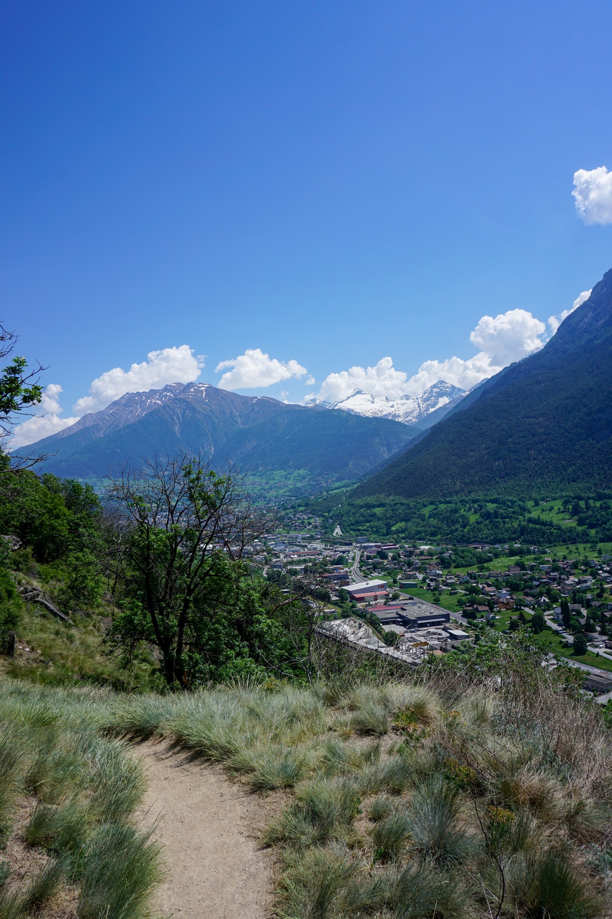
Further on, one crosses the Mundbach on an impressive metal footbridge. It does not take long then to follow another Bisse: The Driestneri (“the one of Drieschta”). There are still some nice climbs and a steep descent to reach the entrance to the artillery fort of Naters. This fort can be visited because it has been transformed into a museum. It also houses the museum of the Swiss Guard of the Vatican. From this place, one might be tempted to reach Brig directly. However, it is worth continuing a bit, as one crosses some metal footbridges allowing a beautiful view of Naters and Brig. In addition, continuing, ones pass in front of the legendary Ornavassoturm, which almost disappeared following the fire of the match factory it housed.
Route: Eggerberg – Former Lalden stop – Rossegga – Naters – Brig
Distance: 11.5km
Altitude gain: 500m
Duration: 4 hours

 Previous Post
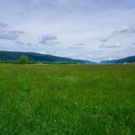 Next Post
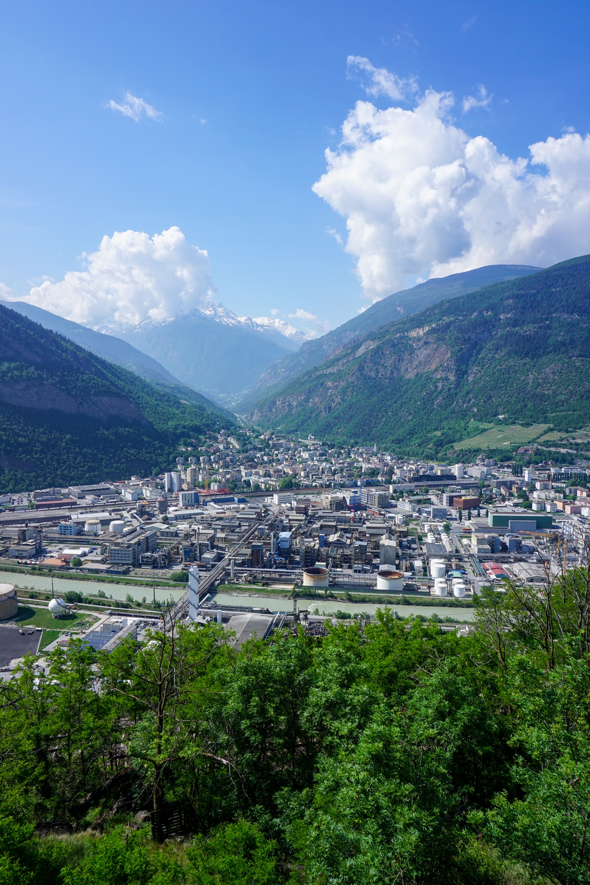