This route is proposed under this name on the Swiss Mobile portal. Although I often try to do a bit of an exclusive route, some of the routes suggested by Swiss Mobile are noteworthy. Apart from long-distance routes (such as the Via Alpina), there are several local routes. This is one of them.
As suggested in the description, we followed the route in a clockwise direction to save the best for the end. However, to avoid having to walk along the road, we followed the trail displayed on the map, which bypasses the Moos marsh area to the south and west. Thus, only a very short section of the road must be walked because, further down, the route follows a path that is a few meters from the road.
At the Bürchner Alp, we left the road for good, first downhill, and then along the hillside. The whole hill is covered with a forest of Swiss pines. So, it’s not surprising that speckled nutcrackers like it here. You can see this because there are many jagged cones of Swiss pines along the trail. The trail does not climb significantly until Ledi. There the trail begins to climb to Breitmatt. At this place, you have a view of the Mischabel tops.
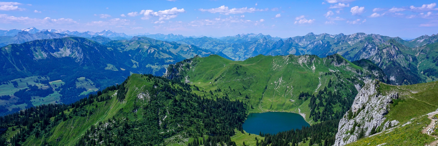
Another short climb leads to Breitmattusee, which normally must be very beautiful. Here, due to lack of water and the prevailing heat, the lake had turned into a fetid body of water. However, we went around the lake to see it from different angles. Another short climb takes you to the Bonigersee, which is almost filled and looks more like a swamp. The climb goes around a hill called “Goldbiel”, which could be translated as “Hill of Gold”. Although, geologically, the presence of gold would seem plausible, nothing is indicated on the geological map. It should be noted, however, that below this hill, near Chrizsteck, a chasm of uranium has been discovered.
After going around the Bonigersee, it is worthwhile to reach the Stand, which is a magnificent viewpoint overlooking the Zermatt valley and the surrounding peaks. However, due to the easy accessibility and the proximity of the Chalte Brunne car park, the place is very busy.
Route: Chalte Brunne – Bürchner Alp – Breitmatte – Breitmattusee – Bonigersee – Stand – Chalte Brunne
Distance: 6Km
Altitude gain: 260m
Duration: 2h

 Previous Post
 Next Post