Le Lötschenpass a été, à l’instar du Schnidejoch, un passage important entre le Valais et Berne. En terme historique, on peut situer la fréquentation du Lötschenpass entre la préhistoire et le début du moyen-âge. Par la suite, à cause de changements climatiques importants, ces deux cols sont devenus difficile à parcourir à cause de la neige et de la glace qui les recouvraient. Cela explique pourquoi, comme au Schnidejoch, on a retrouvé des objets forts anciens, perdus ou abandonnés en ces lieux.
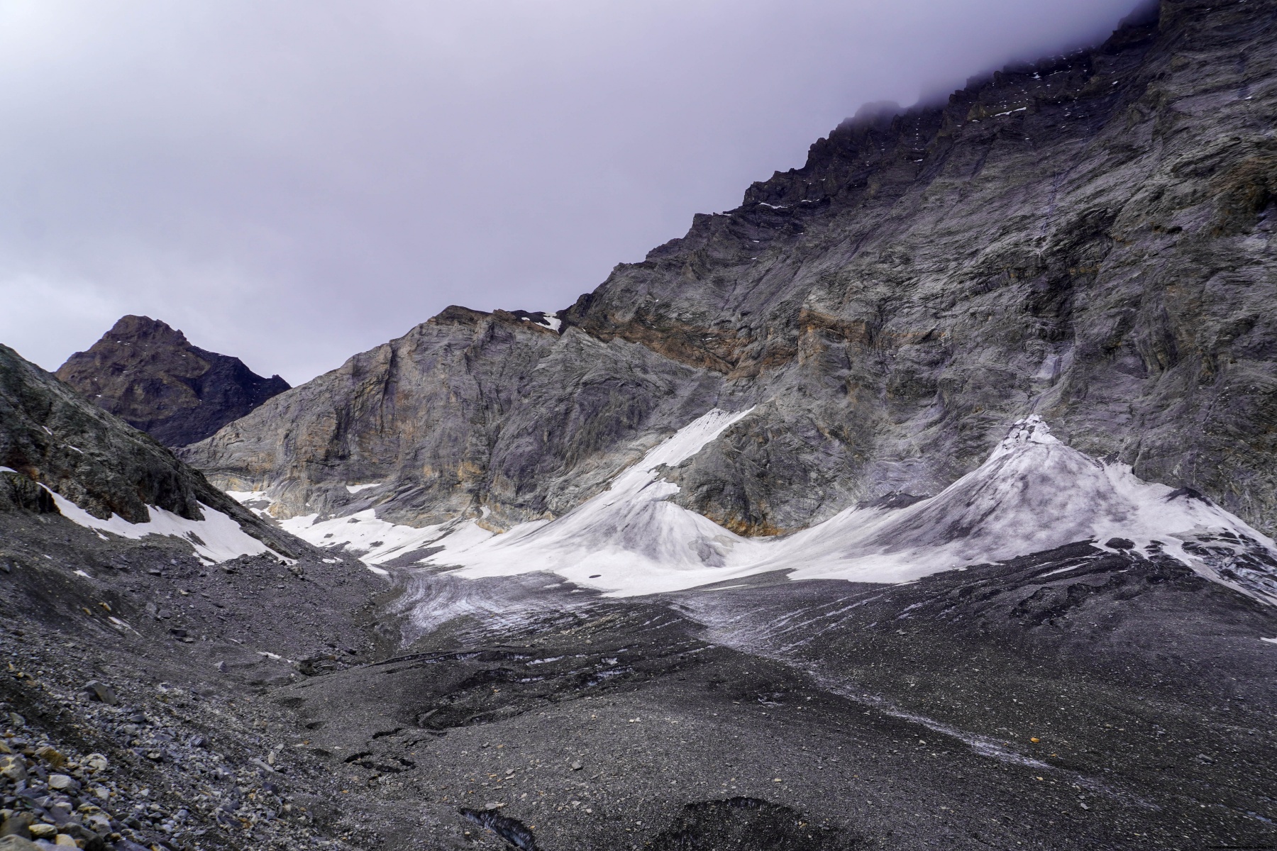
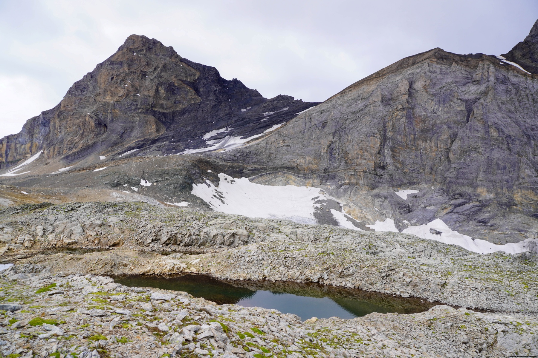
Jusqu’à récemment, le franchissement du Lötschenpass pouvait pratiquement être considéré comme course d’alpinisme, le Lötschegletscher ayant une étendue beaucoup plus grande. De nos jours, avec le retrait du glacier, on se retrouve à marcher sur de la glace recouverte de roches, donnant l’impression d’évoluer sur un pierrier. Le fait que le cheminement le plus direct traverse un glacier explique pourquoi il existe un autre itinéraire montant directement depuis Schönbüel à travers la paroi, pour gagner la moraine du glacier. Il s’agit d’une relique de projet d’amélioration du chemin du Lötschenpass remontant au 17ème siècle.
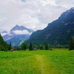
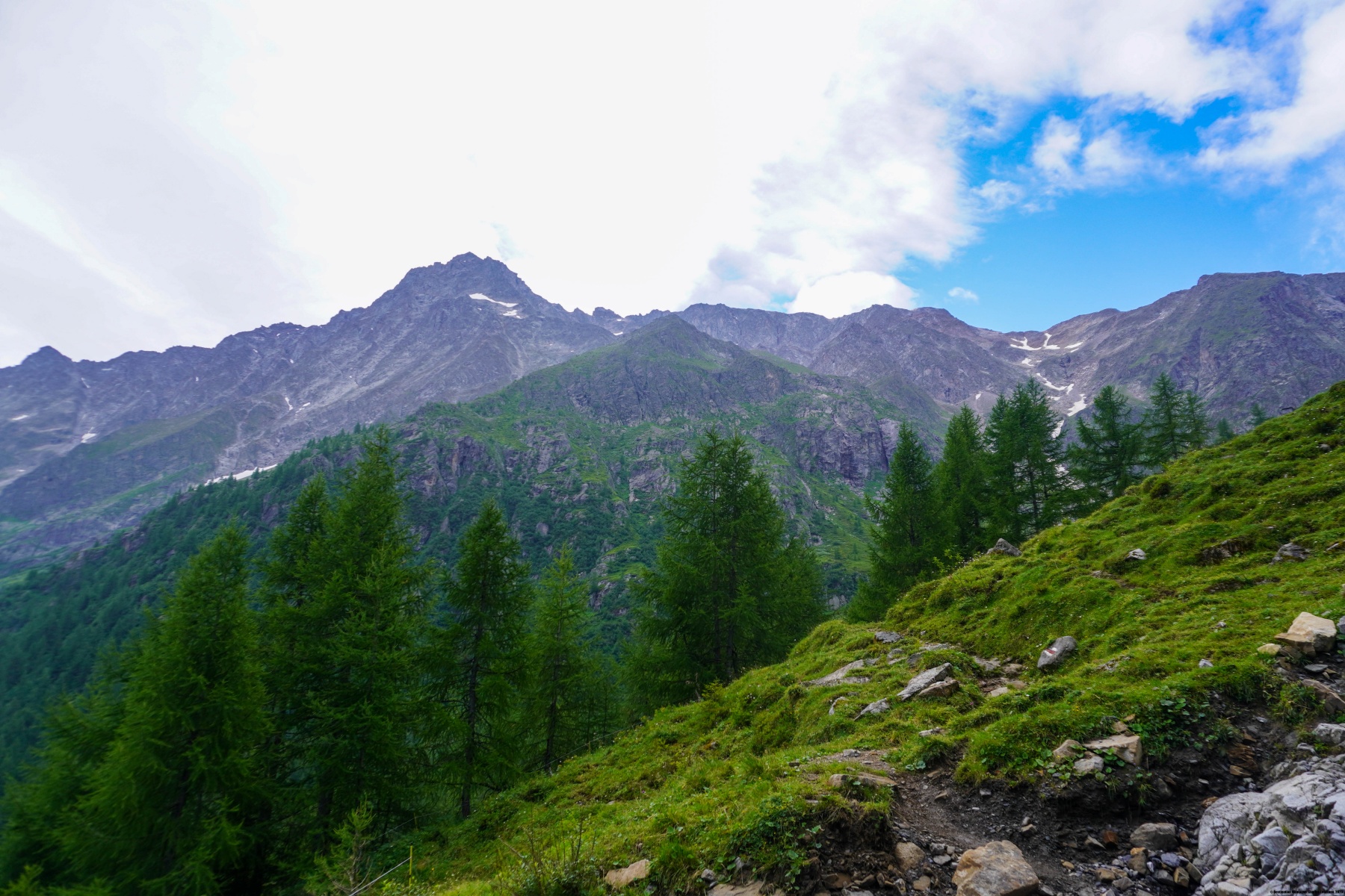
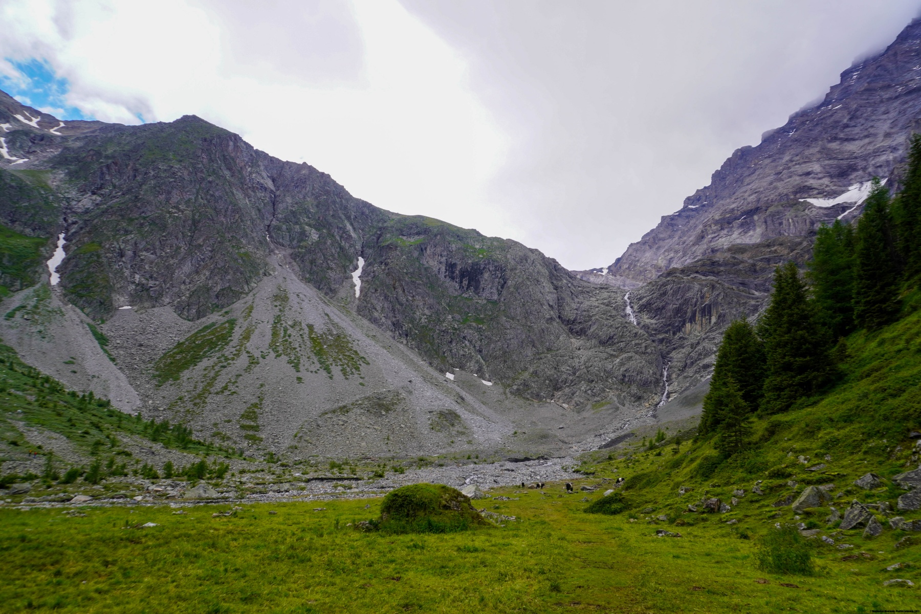
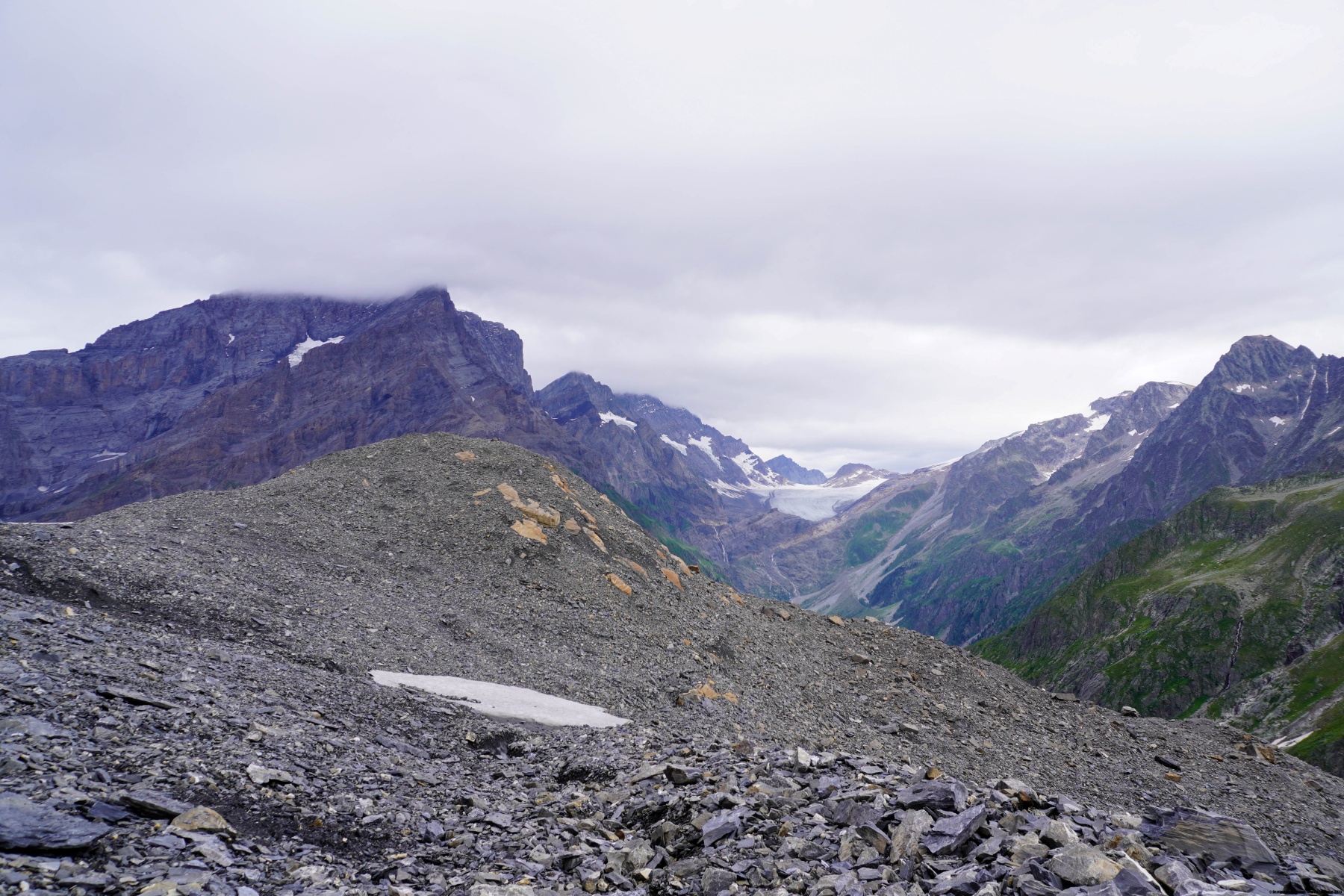
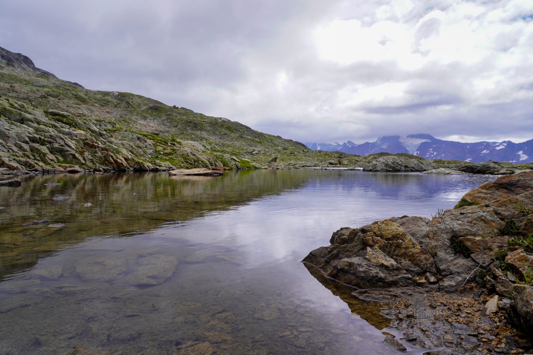
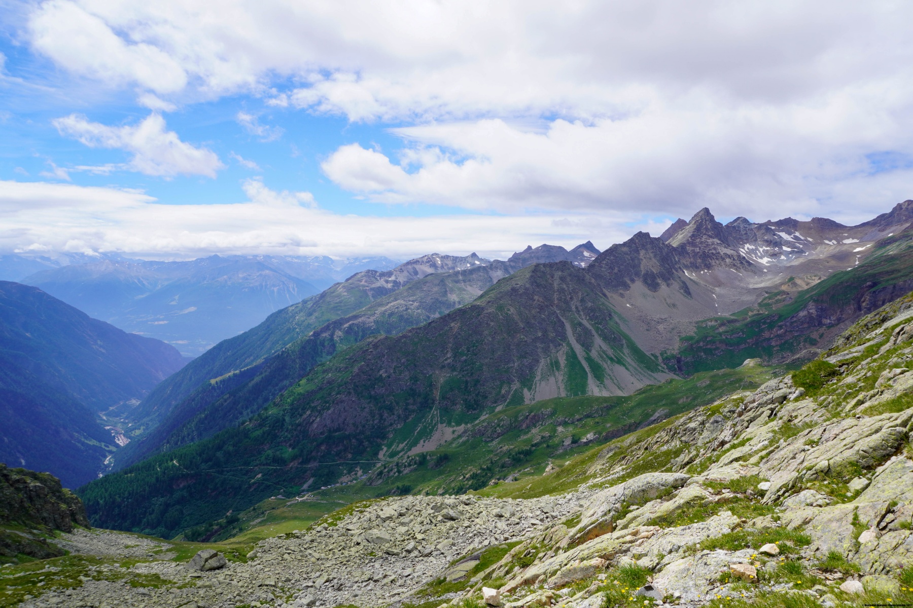
Ici, nous étions partis de Selde en suivant le sentier balisé. En abordant la pente sous la Gfelalp, le sentier devient très raide et ce n’est que sur l’alpage que la pente s’adouci quelque peu. Un peu plus haut, on rejoint et traverse le petit plateau de Schönbüel. Après le plateau, nous avons continué le long du sentier pour d’abord monter en direction du pied de la paroi et de traverser à flanc pour atteindre le glacier. Ce faisant, on doit traverser quelques ravines, qui pourraient s’avérer difficiles en début de saison, juste après que la neige ait fondue.
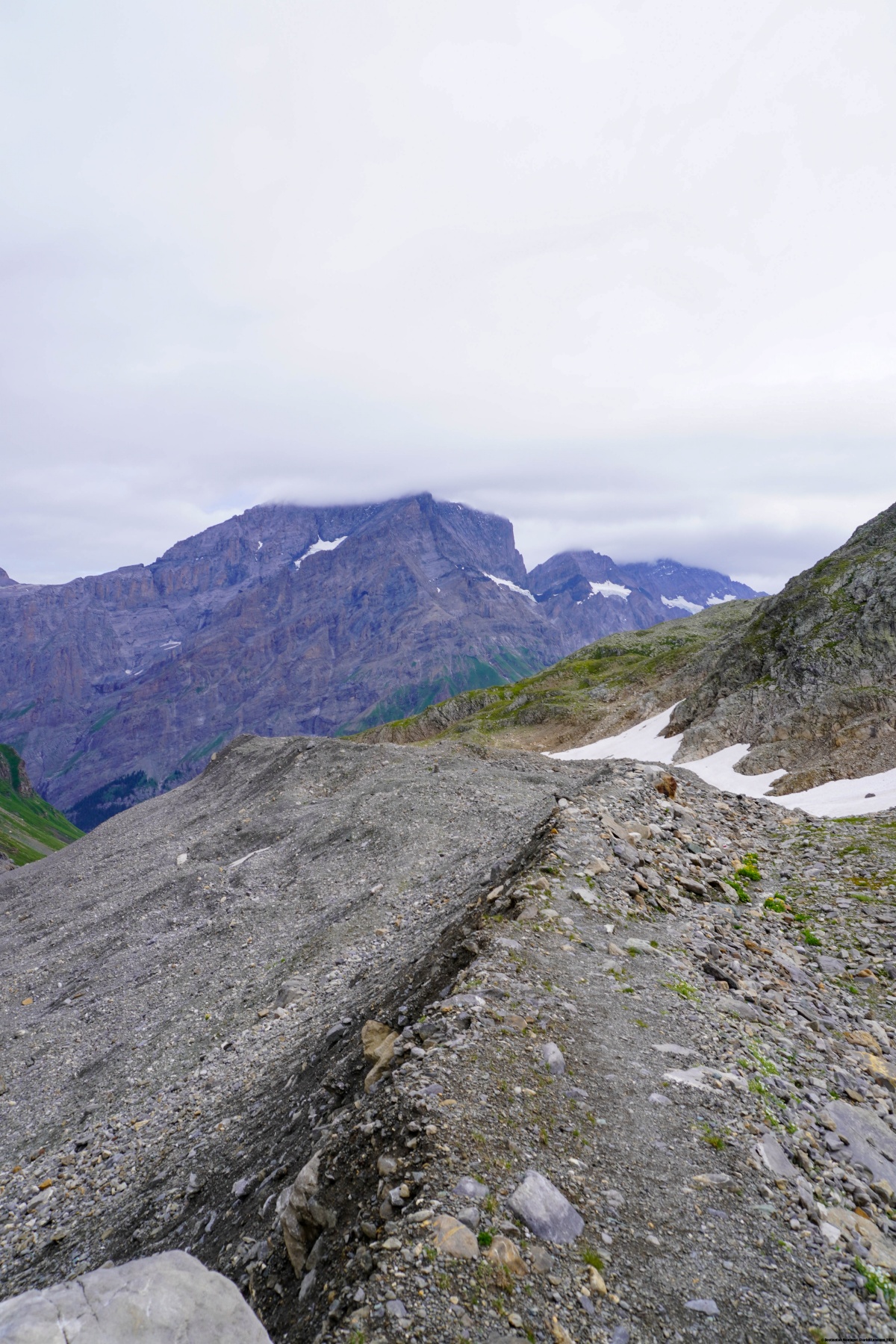
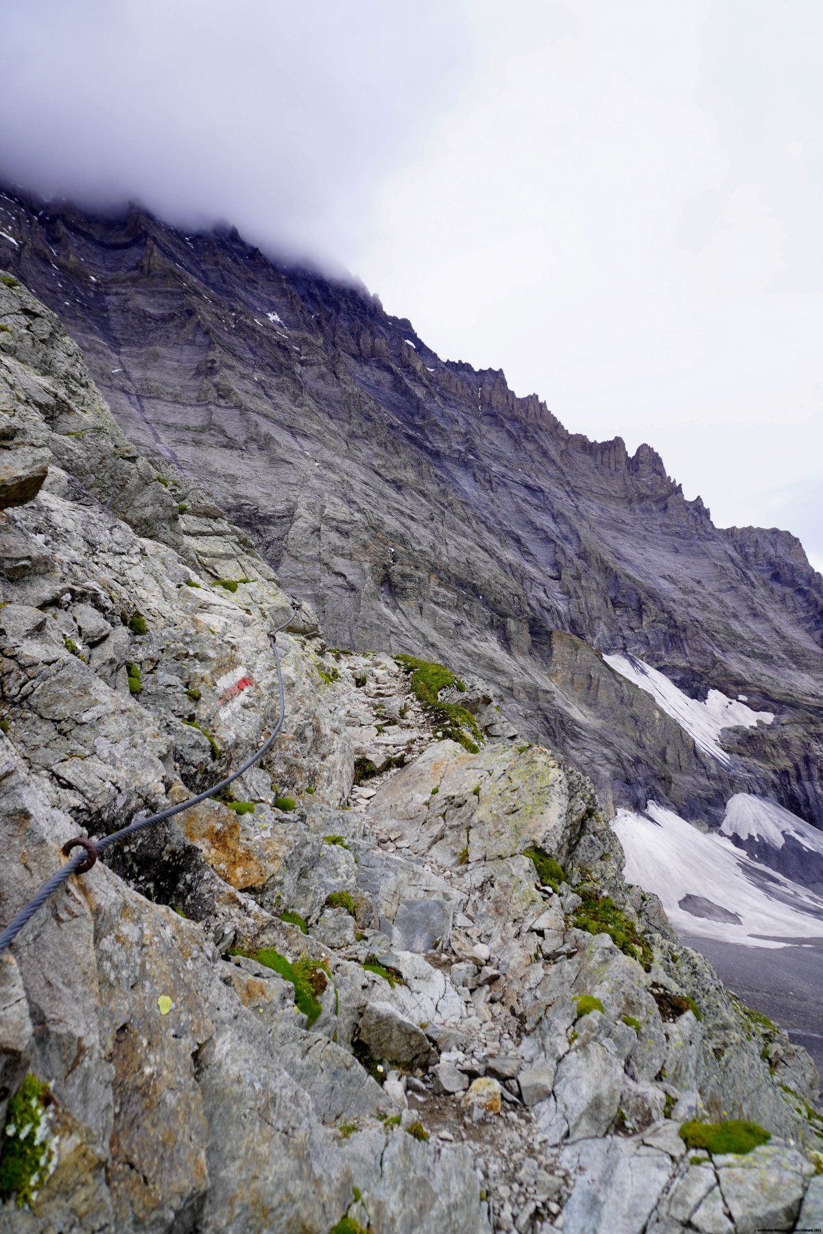
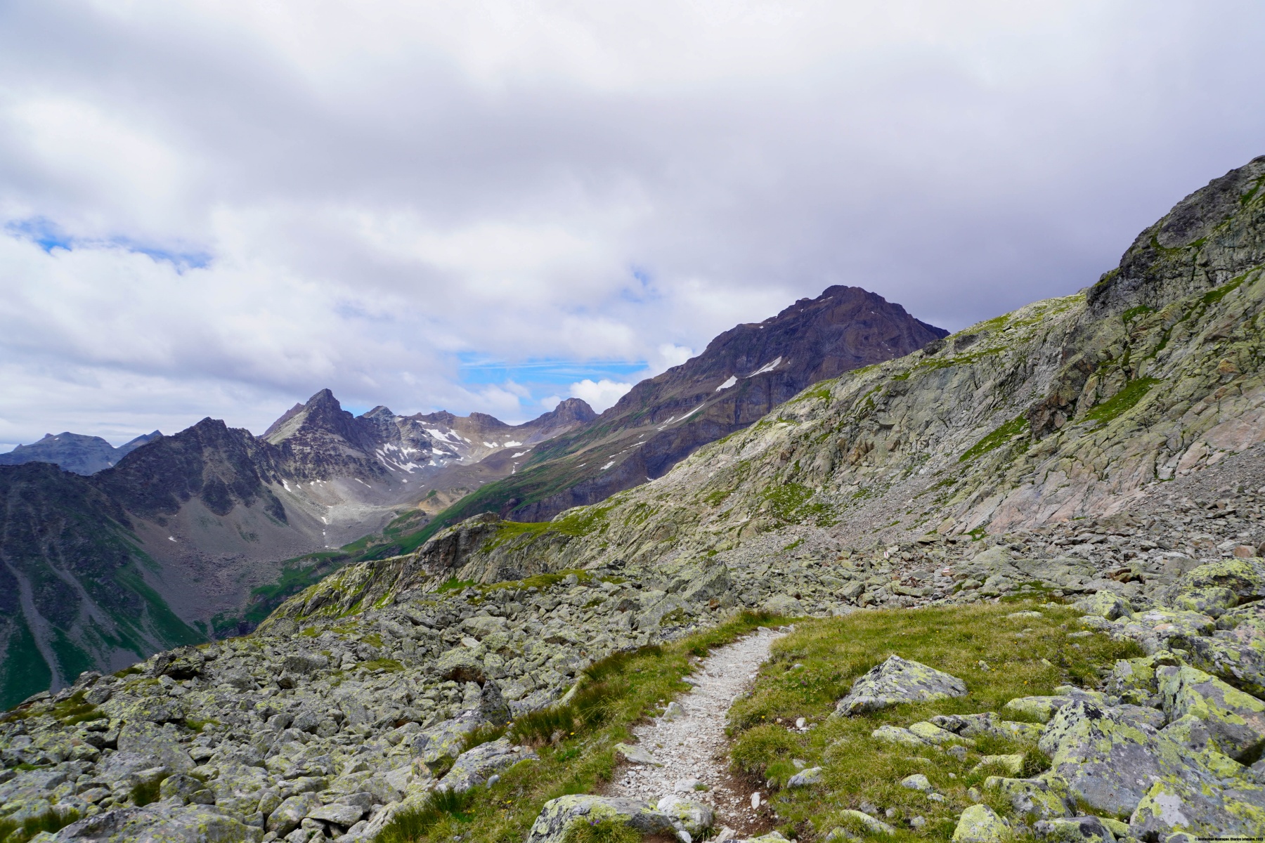
Nous avons alors traversé le « glacier » pour grimper sur la moraine latérale. Nous avons alors suivi celle-ci jusqu’au moment où elle vient buter contre des rochers. Nous sommes alors montés le long du balisage, d’abord vers la gauche puis vers le haut, pour rejoindre un petit passage équipé de câble revenant vers la droite. Un peu plus haut, nous avons traversé les derniers rochers avant que la pente s’adoucisse nettement à l’approche du col. Il est intéressant de remarquer que le sentier ne franchit pas le col à proprement parler, mais son flanc est.
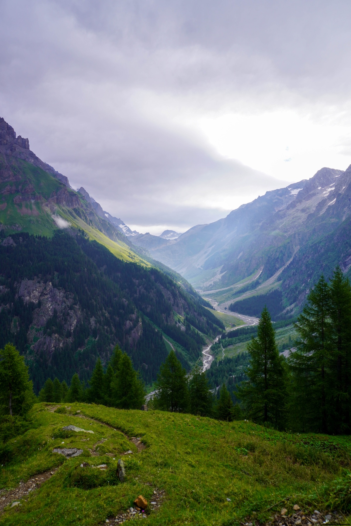
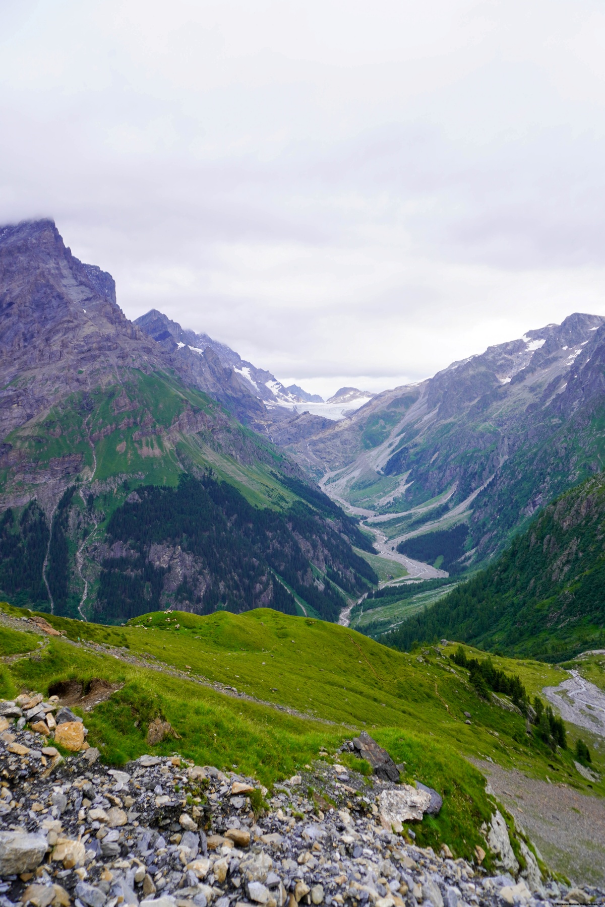
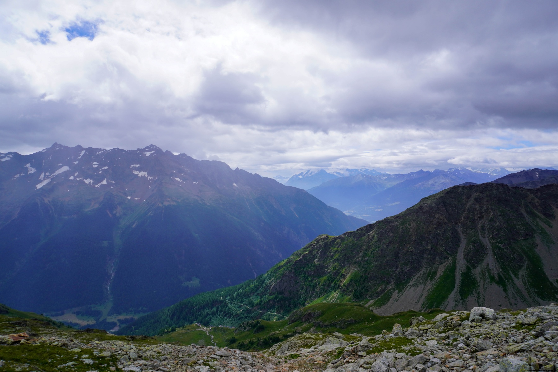
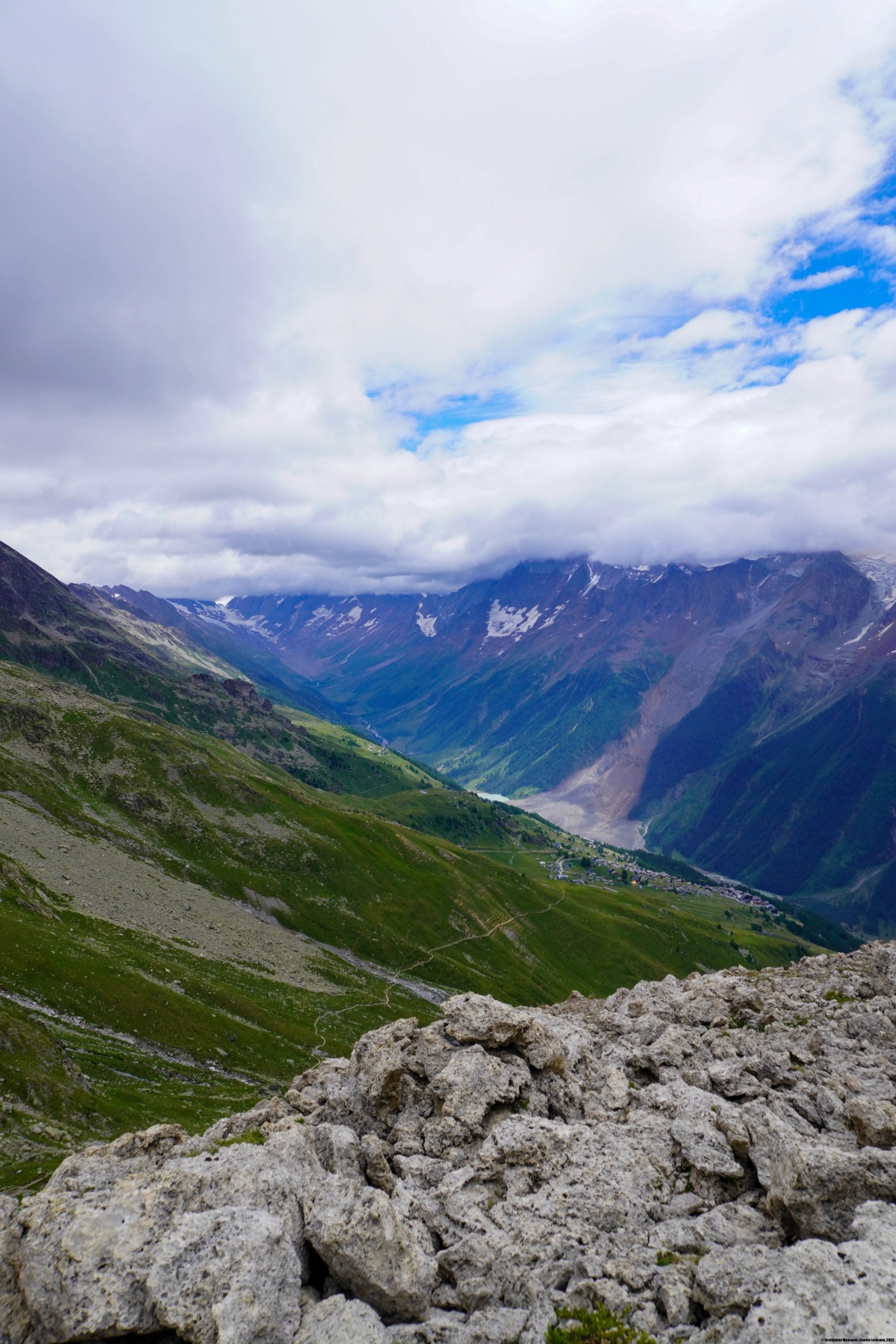
A la descente, nous avons traversé les pentes sous le Hockehorn pour rejoindre Lauchernalp. Nous en avons profité pour aller au sommet du Hockuchriz. Nous avions alors une vue plongeante sur le Lötschental, et malheureusement, l’éboulement de Blatten.
Itinéraire : Selde – Gfelalp – Schönbüel – Lötschepass – Sattlegi – Hockuchriz – Lauchernalp
Distance : 11,9Km
Dénivellation : 1280m
Durée : 5h30

 Vorheriger Beitrag
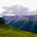 Nächster Beitrag
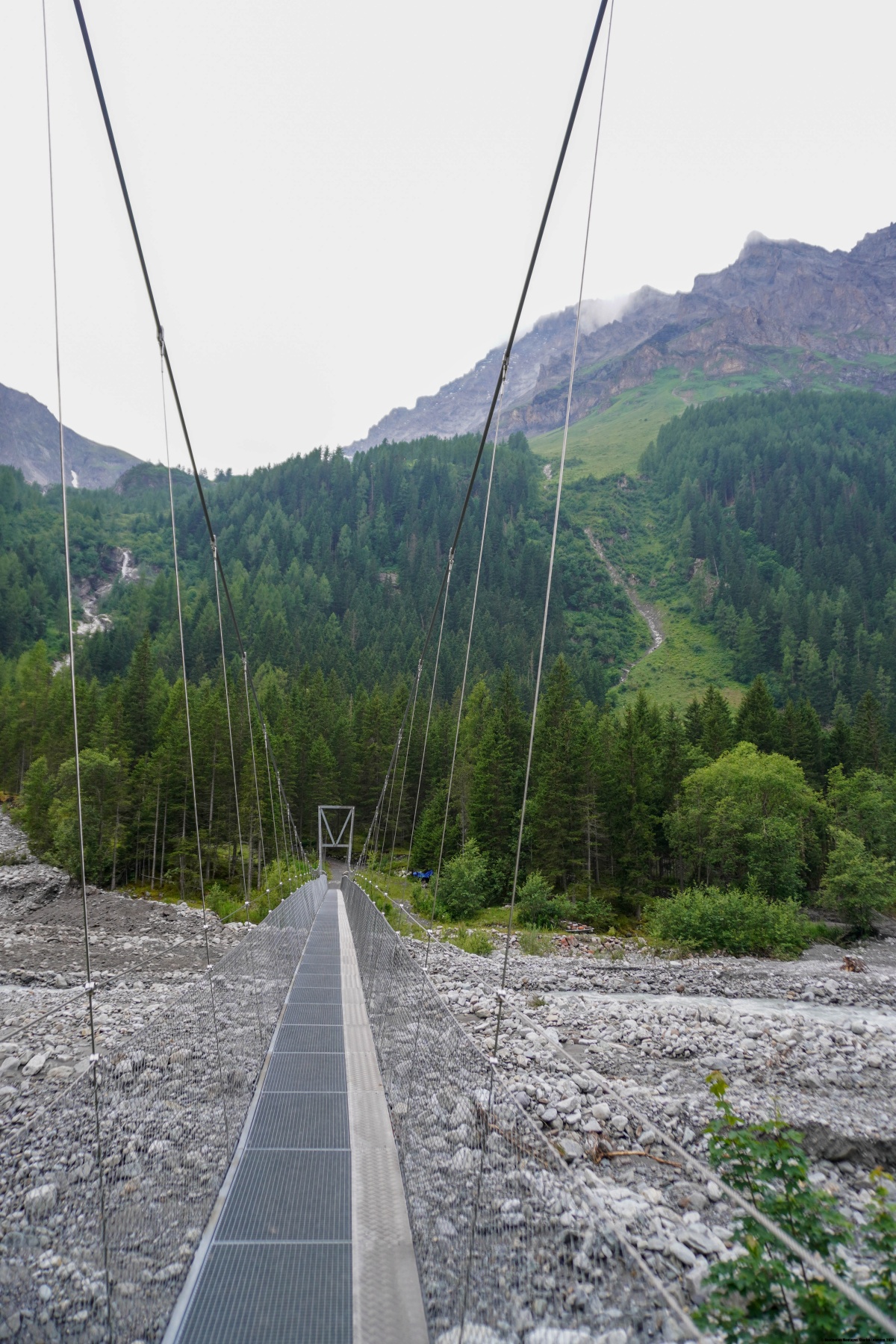