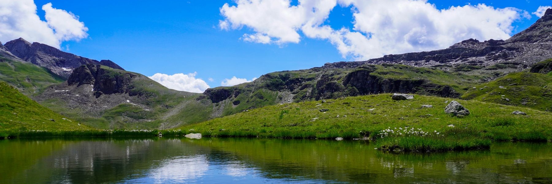
Même si nous avions parcouru plusieurs fois ce sentier, nous avions eu envie de suivre à nouveau le Chemin du Soleil. Ceci, parce qu’à chaque fois, l’expérience est inédite, les conditions n’étant jamais les mêmes. A fortiori dans ce cas, puisque nous avions l’habitude d’effectuer cette randonnée au printemps et qu’ici, nous étions début août.
Nous avions pris le train empruntant la ligne du Lötchberg et comme d’habitude, nous avons été surpris de constater que pratiquement tous les passagers descendent à Kandersteg. Cela s’explique par le fait que la grande majorité de ceux-ci se rendent soit à l’Oeschinensee, soit au Blausee. Je n’ose pas imaginer à quoi doivent ressembler ces lieux surfréquentés.
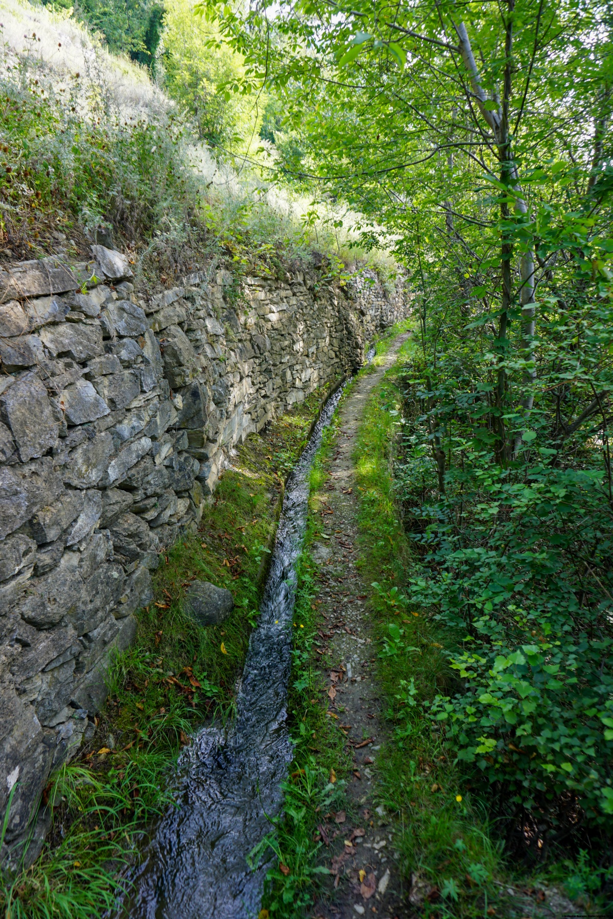
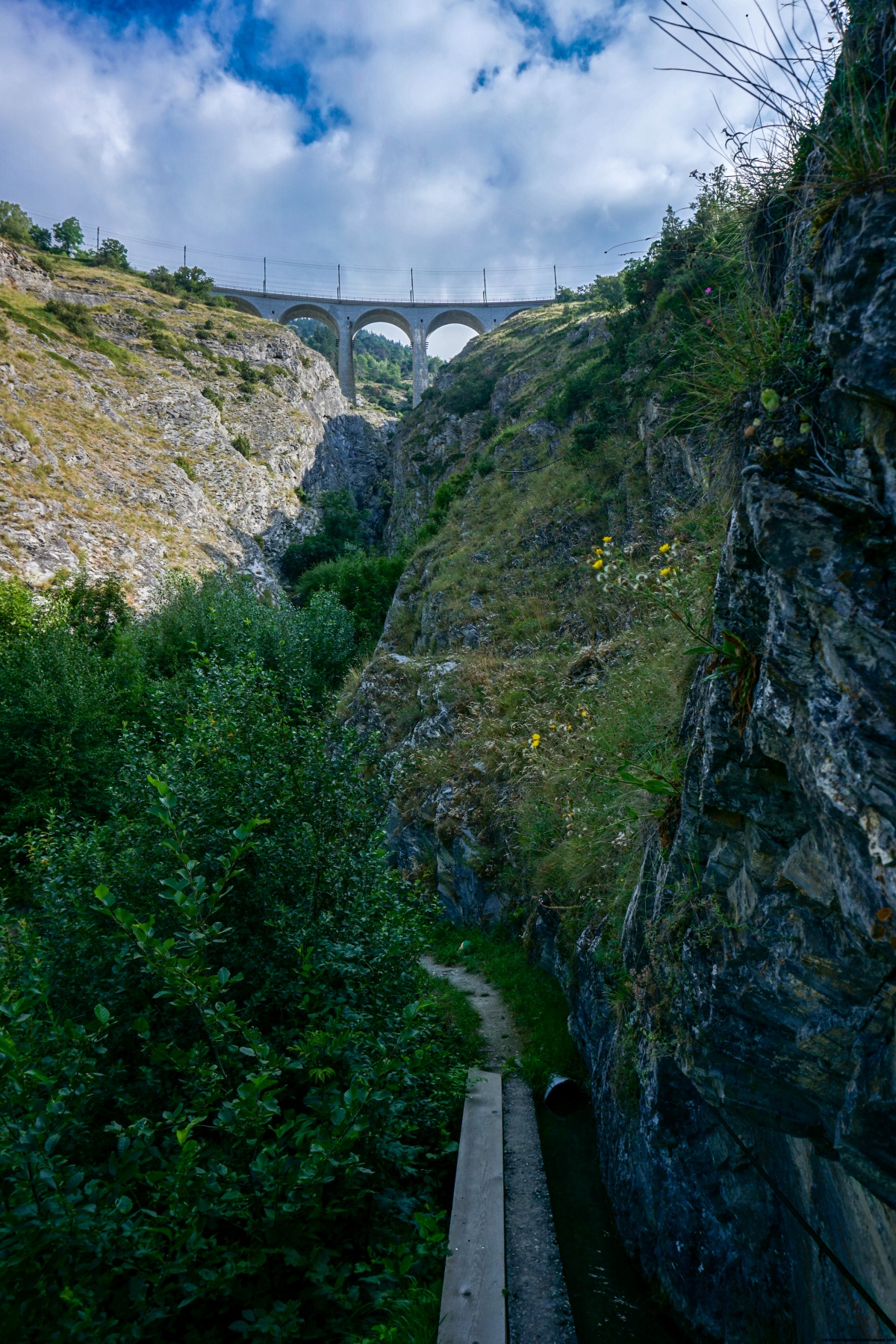
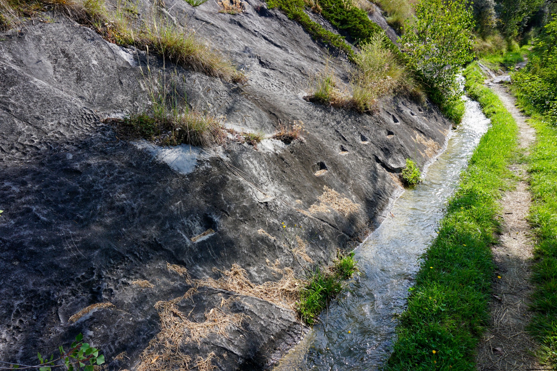
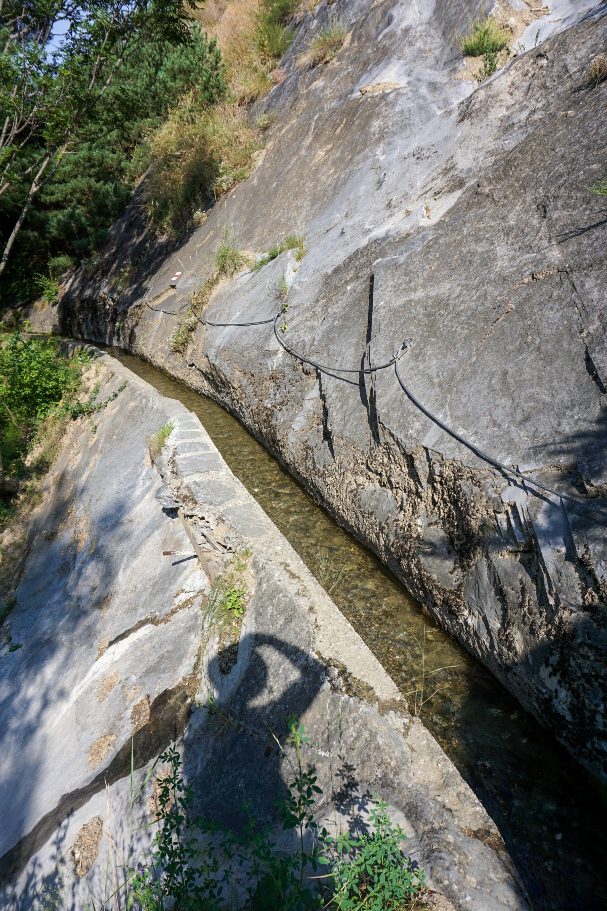
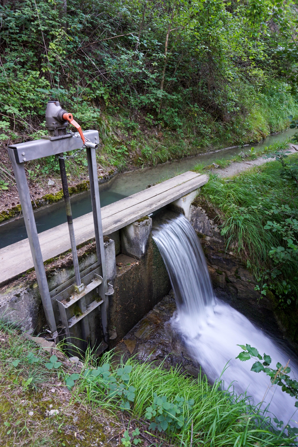
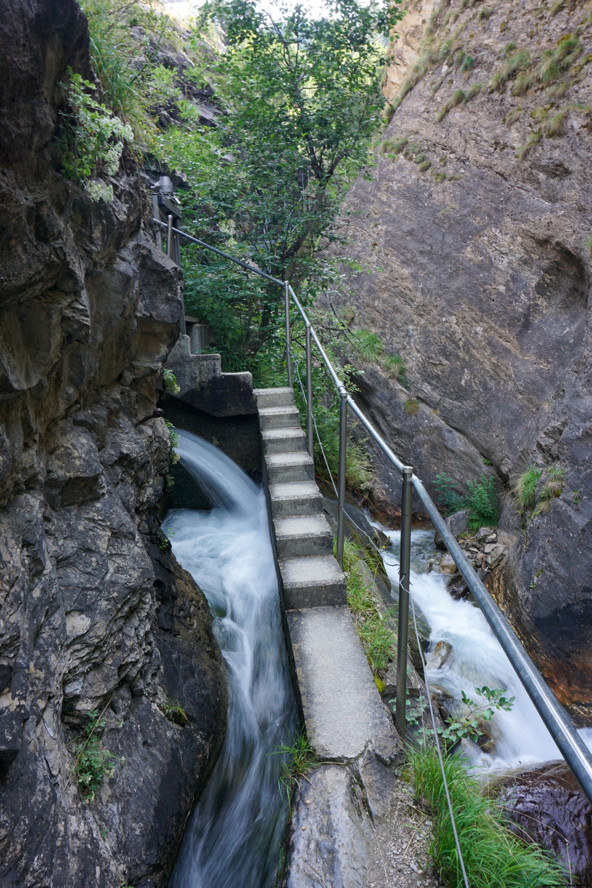
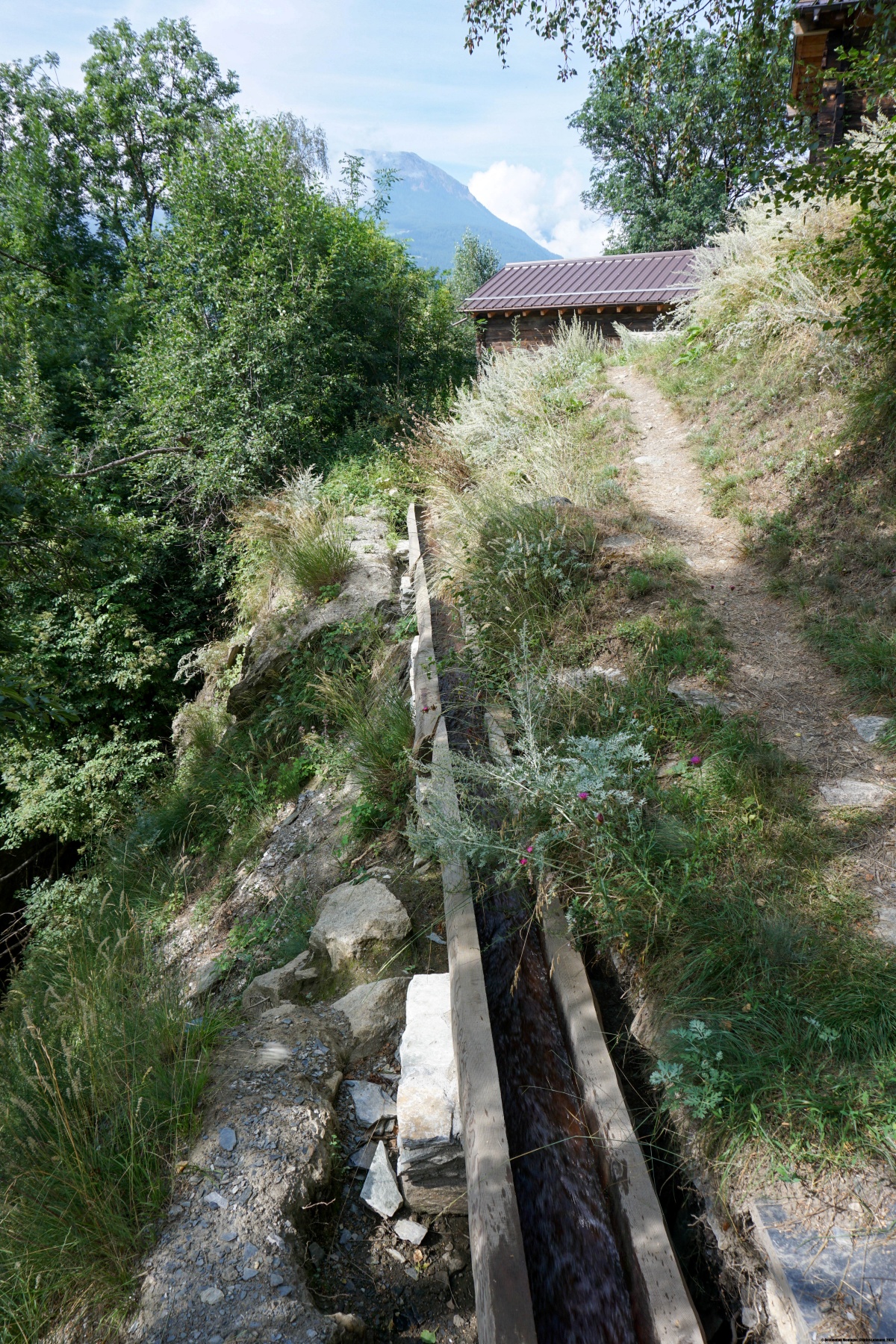
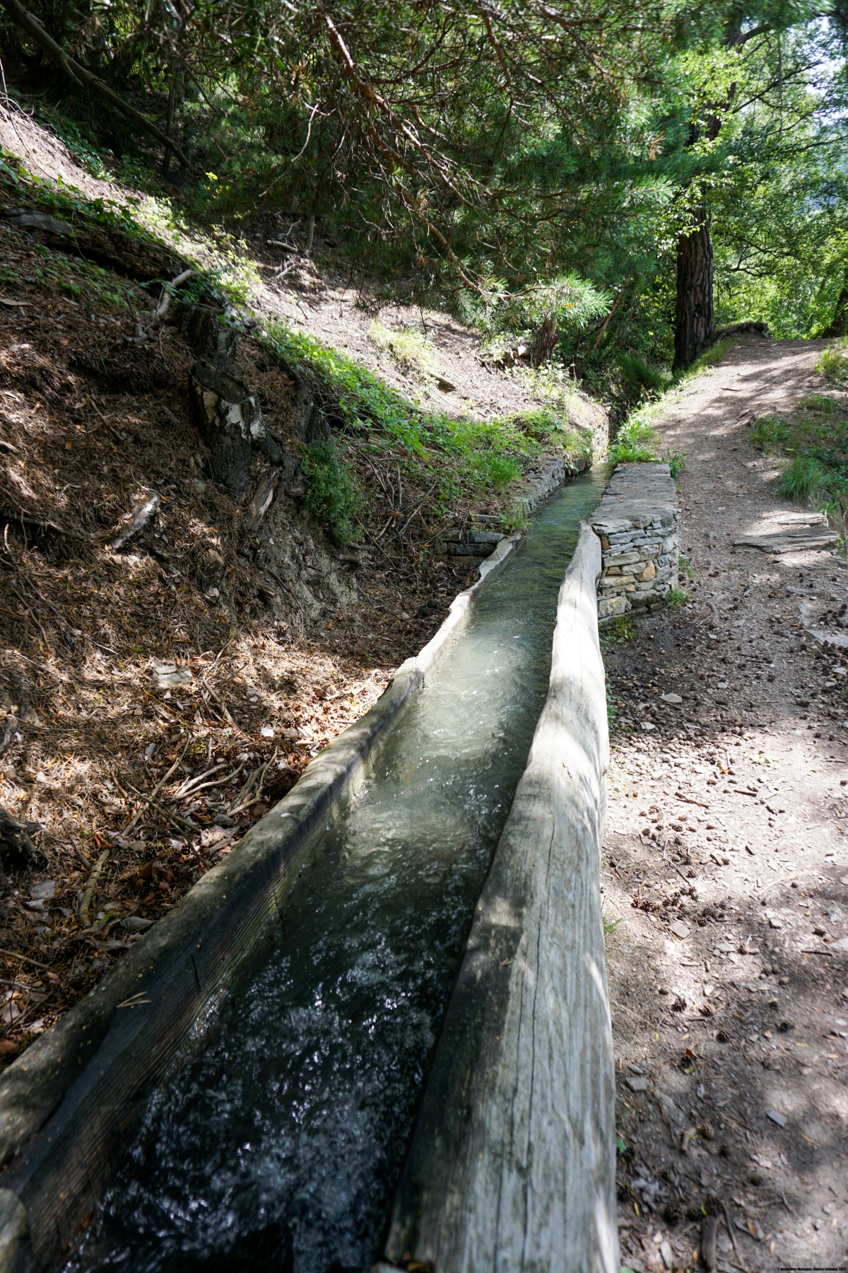
Depuis la gare de Hohntenn, on a la possibilité de suivre plus ou moins directement la voie de chemin de fer. Ce faisant, on passe près du spectaculaire Lüegilchiviadukt. Toutefois, on ne suit pas le Chemin du Soleil. Pour cela, il faut revenir un peu en arrière et descendre pour rejoindre le haut du village de Hohtenn. A partir de celui-ci, on suit alors le Stägeru Süe jusqu’à sa prise d’eau du Jolibach. Une succession astucieuse d’escaliers et de passerelles permettent de gagner de l’altitude et de rejoindre l’autre rive. Le dans cette gorge est assourdissant.
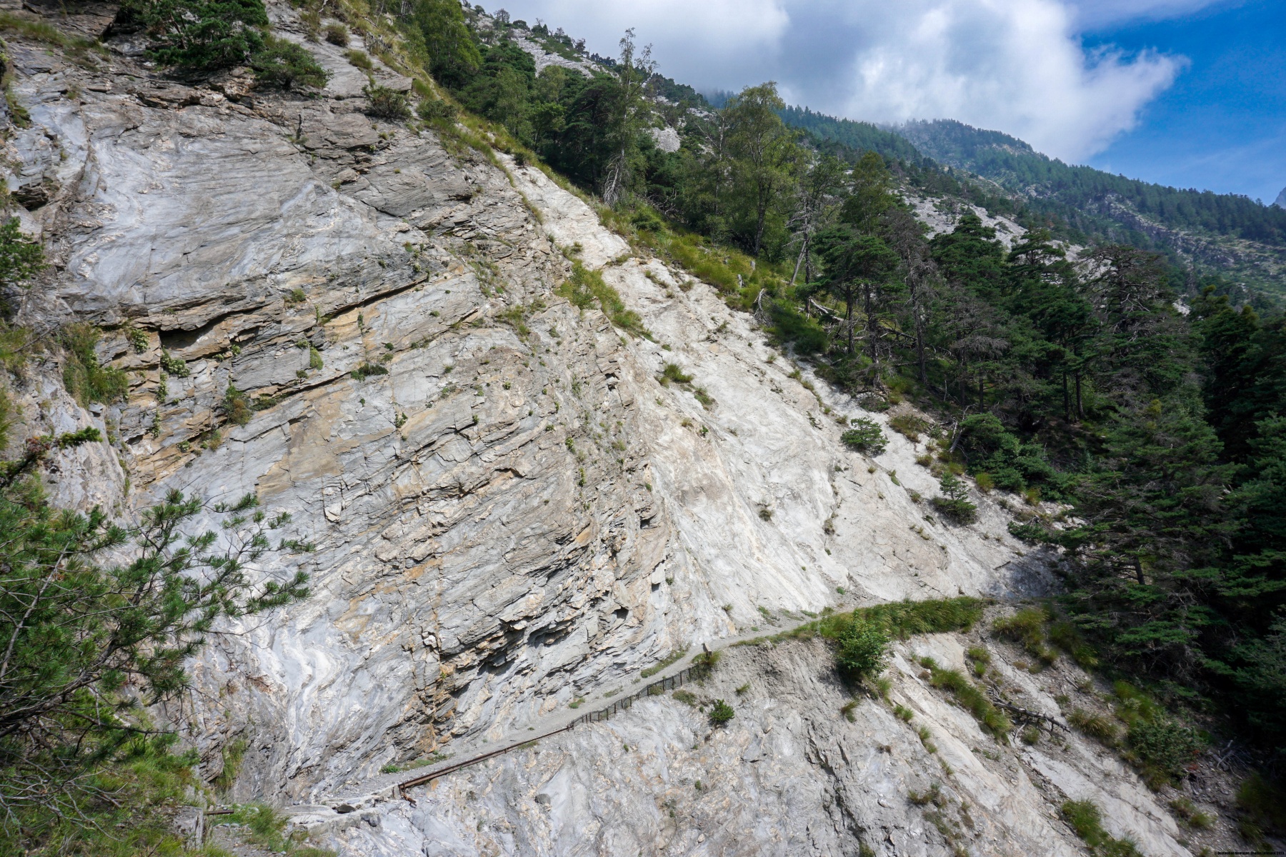
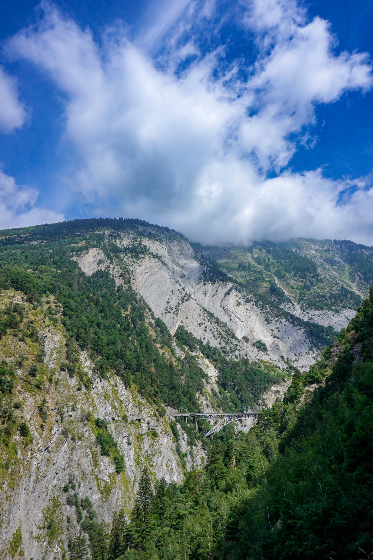
Après ce passage et une légère montée, on traverse à flanc de coteau dans un environnement passablement aride jusqu’à arriver à un replat sur lequel se trouve le petit restaurant de Chrüterbeizli. Le chemin officiel suit alors un chemin carrossable pour atteindre le viaduc sur le Bietschbach. Pour l’aspect paysager, il vaut cependant la peine de monter un peu pour rejoindre Ritzibodo et suivre un bout de la Kummera. Le nom de Kummera signifie quelque chose comme « le bisse de la Rarnerchumma ». Au retour du fond du vallon, on passe sous l’impressionnant viaduc sur le Bietschbach.
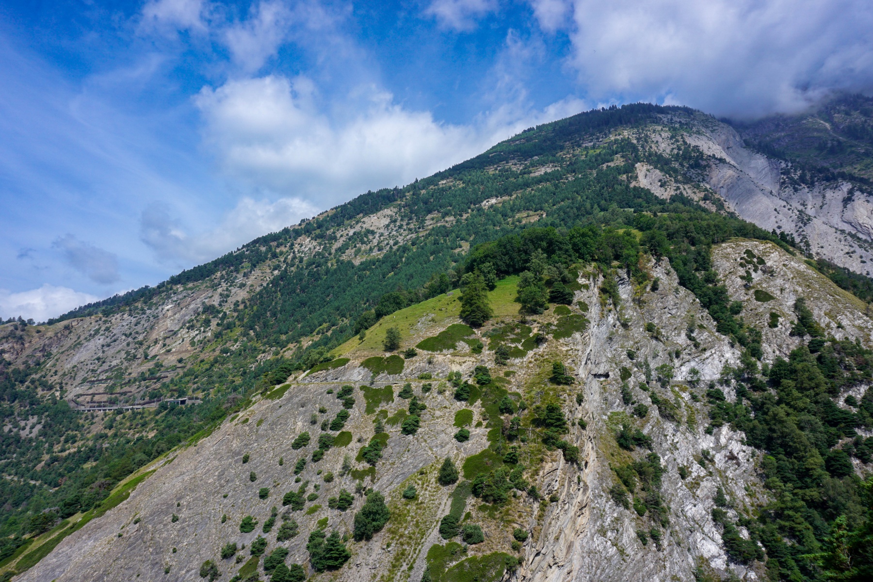
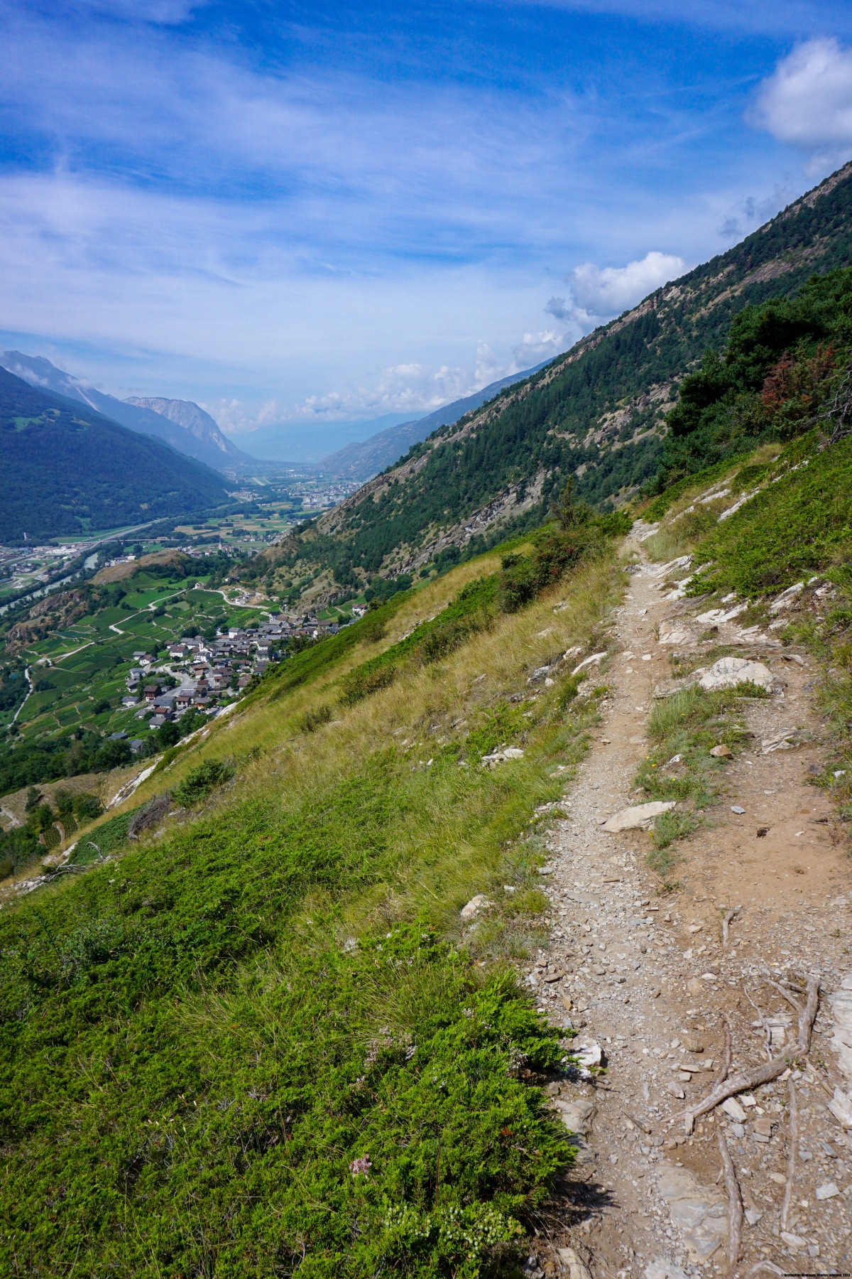
Après l’angle du vallon à Riedgarto, le sentier descend un bout avant de partir à flanc de coteau en suivant le bisse de la Manera. On passe alors au-dessus du village de St. German avant de devoir monter franchement pour passer par-dessus le Wolfbiel (que l’on pourrait traduire par « colline au loup »). Peu après avoir rejoint un petit col près du Wolfbiel et passé sous un ancien bisse (un embranchement de la Mittla), on descend finalement sur la gare d’Ausserberg.

![[:fr]Paysage de montagne[:en]Mountain scenery[:de]Berglandschaft[:]](https://destination-montagne.ch/wp-content/uploads/2024/07/240731_Wildmoosalpe_036-150x150.jpg) Article précédent
Article précédent![[:fr]Paysage de montagne[:en]Mountain scenery[:de]Berglandschaft[:]](https://destination-montagne.ch/wp-content/uploads/2024/08/240811_Buergle-Weisseinburg_059-150x150.jpg) Article suivant
Article suivant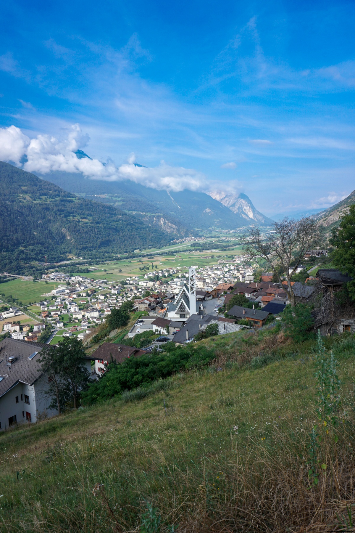