La randonnée que je vais décrire ici, est une magnifique traversée entre Engelberg et Meiringen. Et même si le sentier suit la route de l’Engsltenalp sur un bon tronçon (4Km), le reste de la randonnée se déroule dans des endroits spectaculaires et sauvages.
Comme la traversée intégrale depuis Engelberg serait trop longue (il faudrait rajouter 10Km et 1300m de dénivellation positive), il vaut la peine de profiter des premières cabines et télésièges pour traverser le Jochpass et rejoindre la station de départ du télésiège Engstelnalp – Jochpass. Ce faisant, on évite également certains des tronçons pas très intéressants du sentier du Jochpass.
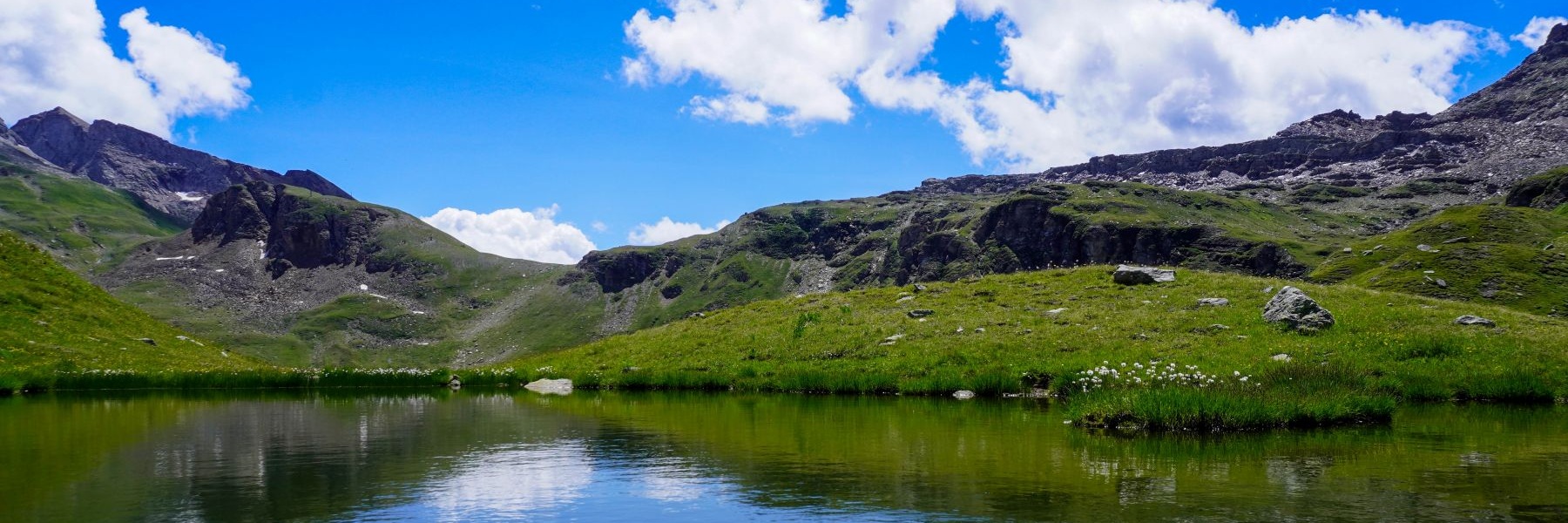
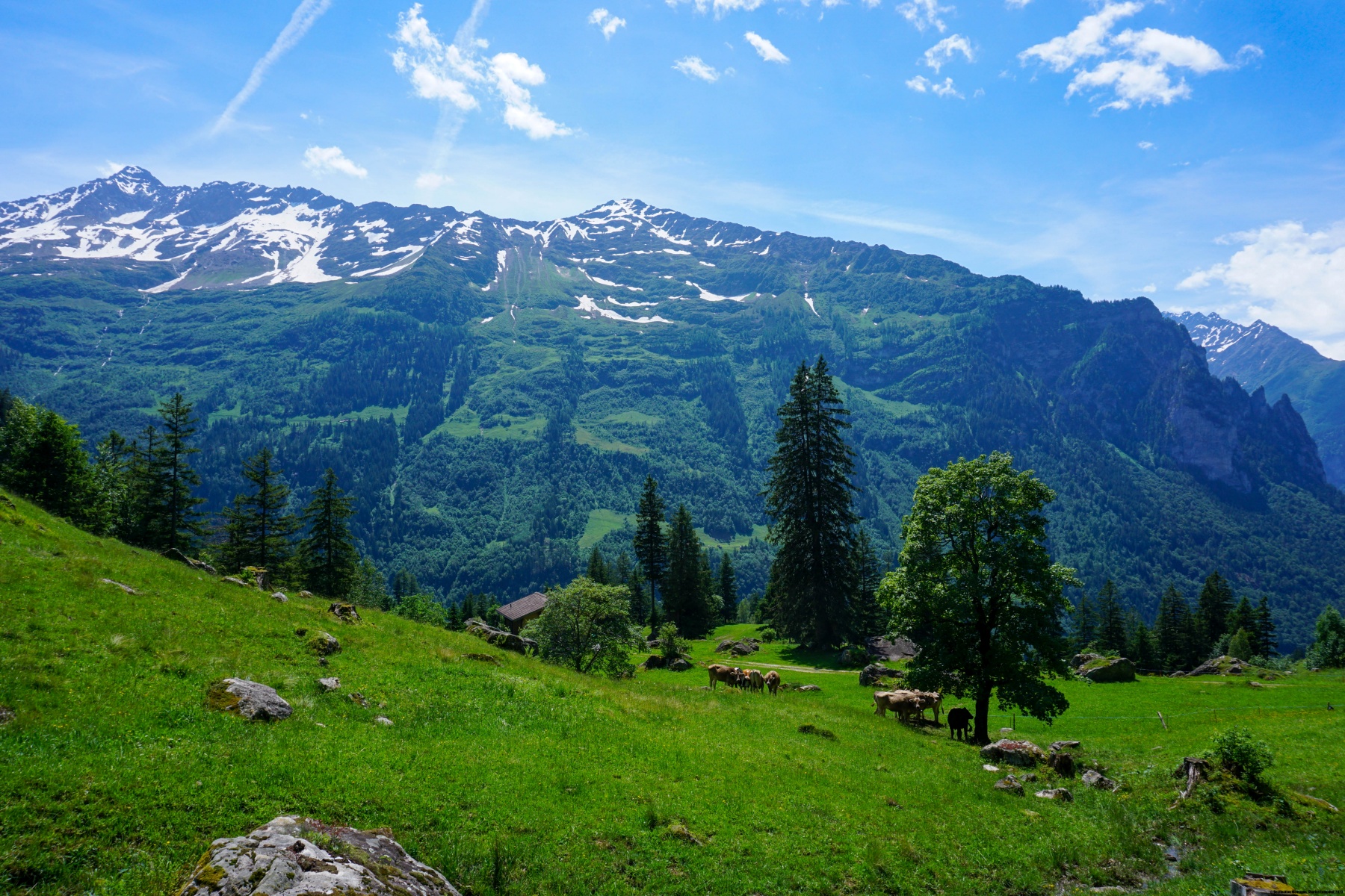
Après être arrivé à la station de télésiège, on commence par descendre en direction de l’Engstlensee. Les Wendenstöcke vus depuis les bords du lac ont un tout autre aspect que lorsqu’on les voit depuis Engelberg. Puis, en regardant en arrière, on voit le Titlis dont l’aspect s’est modifié de manière significative ces dernières années. En effet, au lieu de présenter une belle calotte glaciaire en forme de dôme, la glace s’est creusée et la forme du sommet a complètement changé. Ce changement s’est opéré en une dizaine d’année et dire que certains mettent encore en doute le changement climatique.
Les environs de l’Engstlensee présentent un paysage particulier car il y pousse des arolles, qui, à ces altitudes ont des formes tortueuses. On en trouve également encore quelques-uns dans la descente vers le Gäntel.
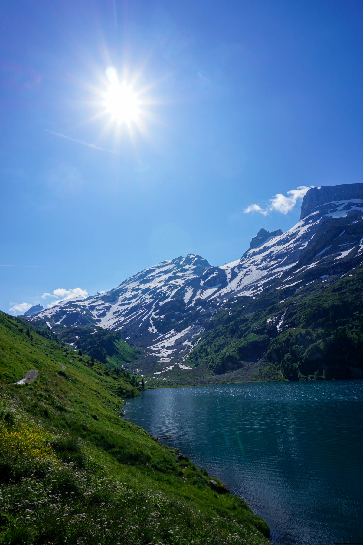
Après une première descente, raide par endroit, on arrive à un bout un peu plus plat de la vallée qui se trouve en contrebas de Schwarzental. Mais avant d’arriver à cet endroit, il vaut la peine d’observer et de contempler une série de cascades dont l’eau sort directement de la roche. Ils portent le nom générique de Jungibäch. Je recommande d’effectuer cette randonnée à un moment où l’on peut voir beaucoup d’eau, donc soit au printemps, soit après une longue période de précipitations.
La vue vers le bas de la vallée porte sur une partie des Alpes Bernoises un peu moins connue. Il s’agit de la région de l’Urbachtal, des Engelhörner et du Gauli.
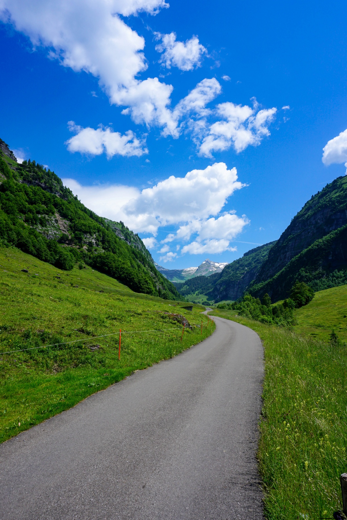
Après être descendu dans la vallée et parcouru le bout de route asphaltée, on quitte la vallée vers la droite par une courte montée. On traverse alors le flanc de la vallée en suivant un sentier en balcon. Toutefois, au lieu de suivre l’itinéraire de la Via Sbrinz qui descend vers Innertkirchen, il est plus pittoresque de continuer à flanc de montagne en passant par Grüöbi. Ainsi, en poursuivant en direction de Meiringen, on peut entr’apercevoir le fond de la vallée de l’Aar du côté des gorges.
Le dernier bout s’effectue en suivant les itinéraires balisés traversant Meiringen. Si l’on souhaite écourter, on peut prendre le petit train venant d’Innertkirchen.
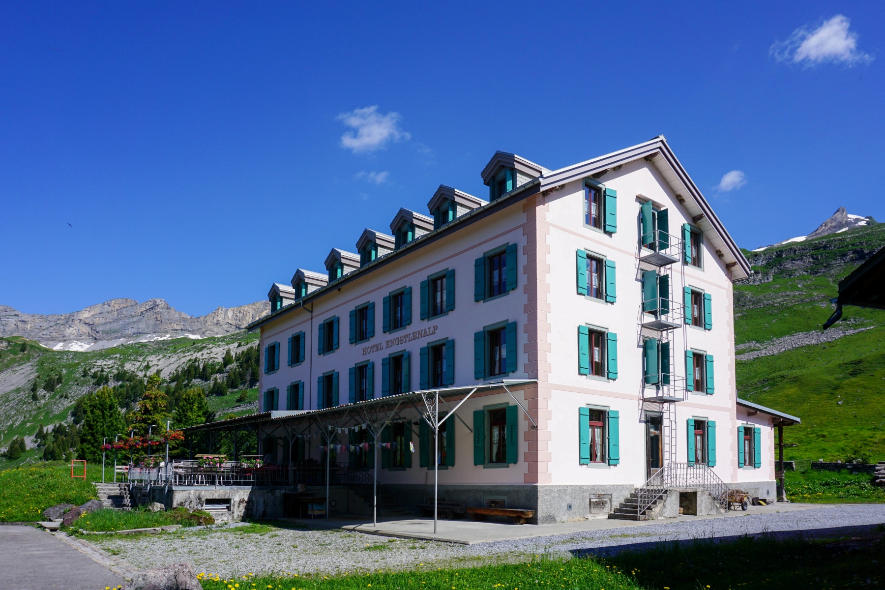
Itinéraire : Station Engstlenalp (télésiège Engsltenalp – Jochpass) – Engstlensee – hôtel Engstlenalp – Jungibäch – Gäntelhitti – Grüöbi – Bergschwendi – gare Zentralbahn de Meiringen
Distance : 19,7Km
Dénivellation : 150m positifs / 1475m négatifs
Durée : 5h30

![[:fr]Paysage de montagne[:en]Mountain scenery[:de]Berglandschaft[:]](https://destination-montagne.ch/wp-content/uploads/2024/06/240625_Schibeguetsch_007-150x150.jpg) Article précédent
Article précédent![[:fr]Paysage de montagne[:en]Mountain scenery[:de]Berglandschaft[:]](https://destination-montagne.ch/wp-content/uploads/2024/07/240701_Malleray-Sonceboz_005-150x150.jpg) Article suivant
Article suivant