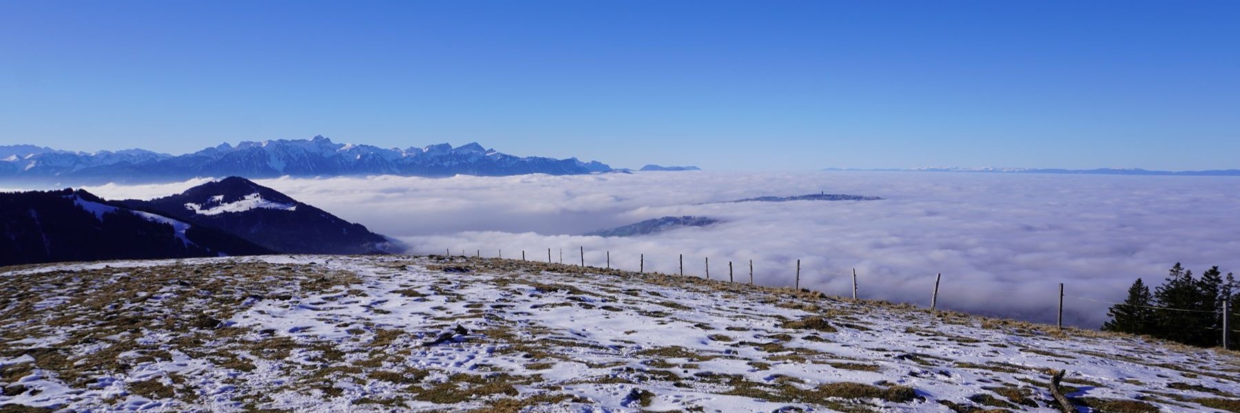
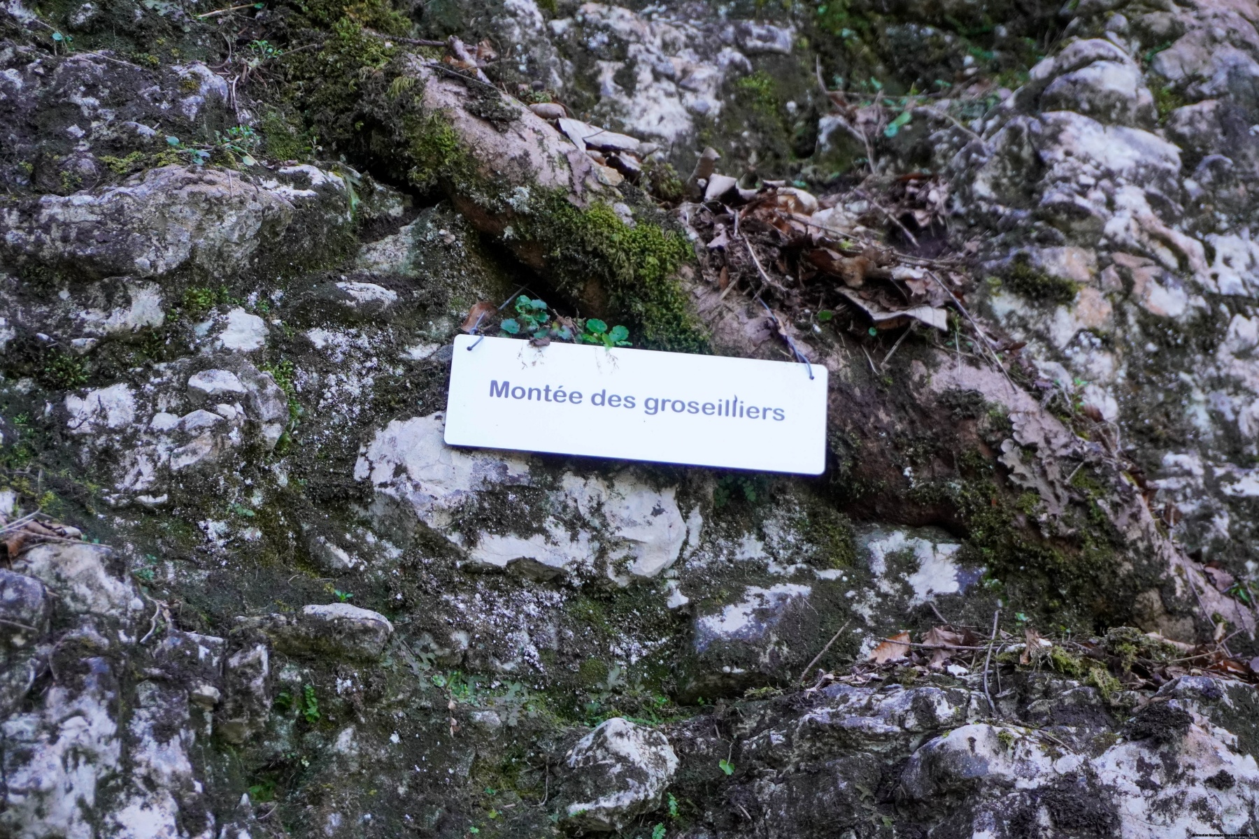
The Pillichody Path is a direct route from the Roches de Moron to the Belvédère des Recrettes, without having to go up to La Galandrure. This trail has typical pre-alpine characteristics that are not unlike the Salève’s ledges. Indeed, the trail follows the rock banks faithfully along a ledge, with steep, earthy ravines in between.
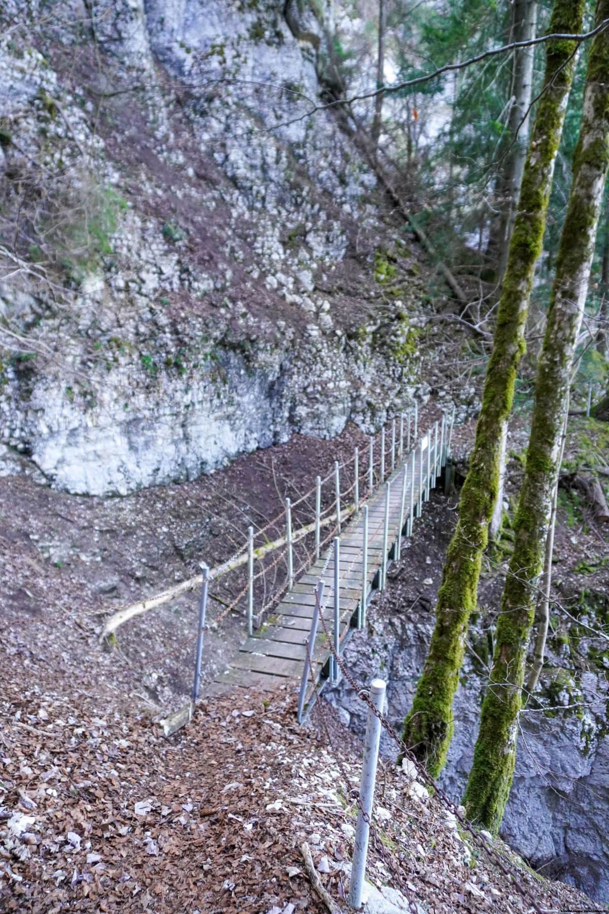
The Pillichody Path had been closed for a long time since June 2023. Indeed, while everyone remembers the storm of 24 July 2023, a violent thunderstorm in mid-June of that year had already seriously damaged the trail. The famous July storm did not help. After consulting the map with the path closures, we realized that the Pillichody Path was open again. However, it is important to keep in mind that the steep, earthy slopes can be a challenge at the beginning of the season.
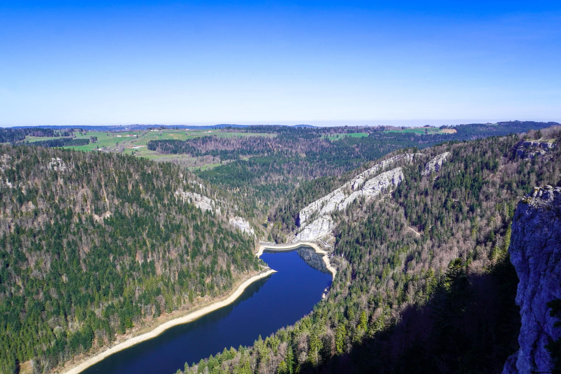
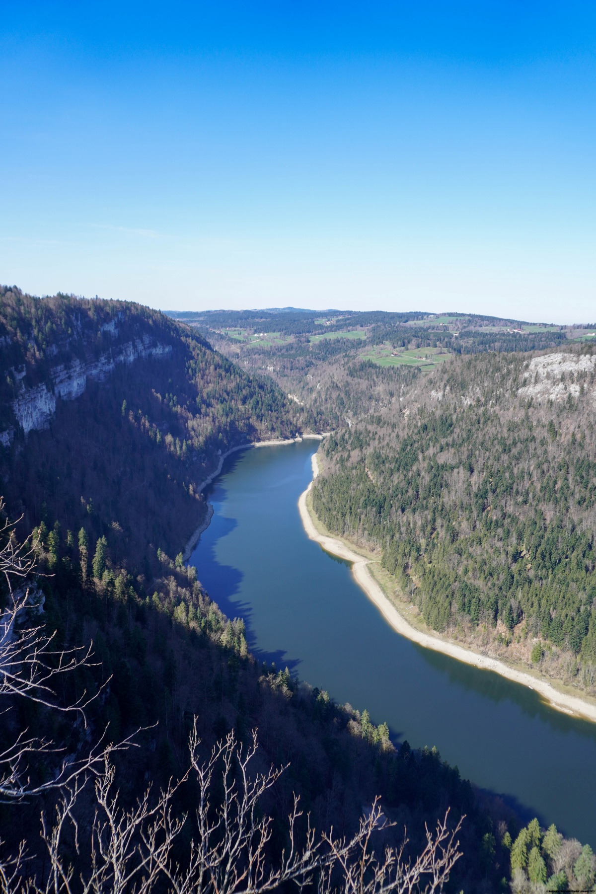
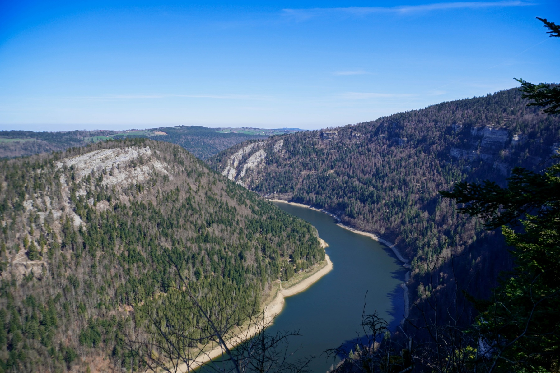
We started in La Chaux-de-Fonds and climbed up to Pouillerel, passing by the Maillard farm. After descending from the Saignolis, we passed by the Galandrure farm and followed the trail down quite steeply towards the Roches de Moron. When you reach a slightly flatter area, a wide forest path runs along the hillside and later becomes a narrow trail. A short distance after the change, it is worth going down a little to reach the CAS Belvedere, which offers a direct view of Lac Moron. A little further on, you cross a small bridge over a ravine and continue along the ledge in a somewhat airy fashion. The views are not very open, as the vegetation obscures the landscape. It is only when you leave the ledges that you reach the Belvédère des Recrettes after a short climb, which offers another open view of the Doubs.
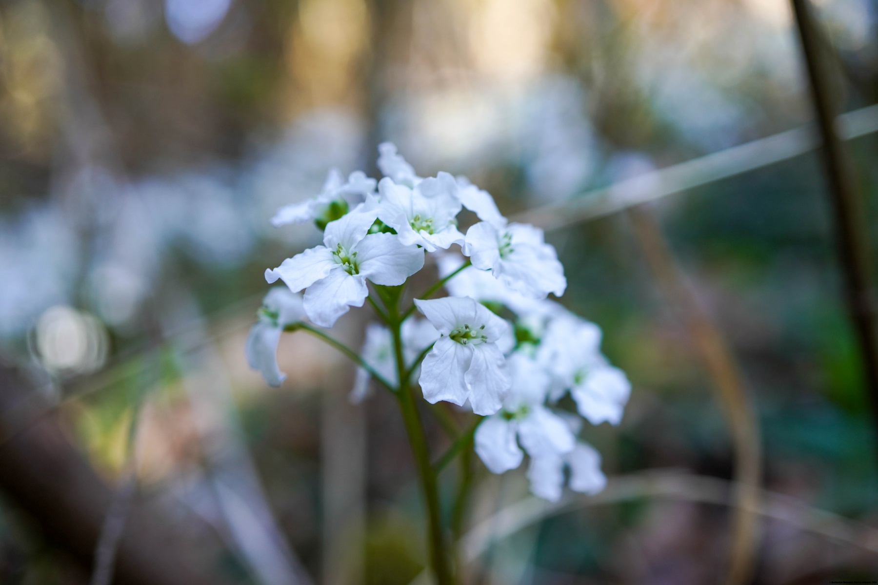
From there, we made our way to Brenets station, passing by a few farms that have been converted into dwellings. In the surrounding forests, we were surprised to find the wood cardamine, which is rare in Switzerland and only found in this region.
Route: La Chaux-de-Fonds – Le Gros Crêt – Pouillerel – La Sombaille – Le Maillard – La Galandrure – Sentier du Pillichody – Belvédère des Recrettes – Les Recrettes – Le Cernil-Girard – Vauladray – Les Brenets
Distance: 14.6km
Elevation gain: 450m
Duration: 4h30

 Previous Post
 Next Post
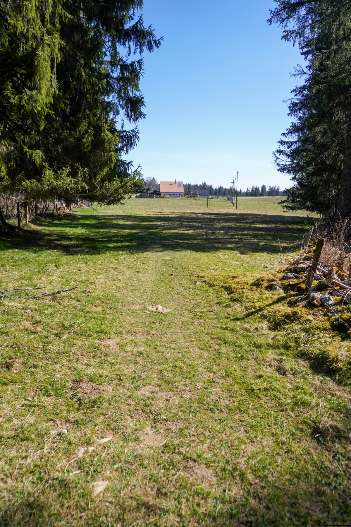