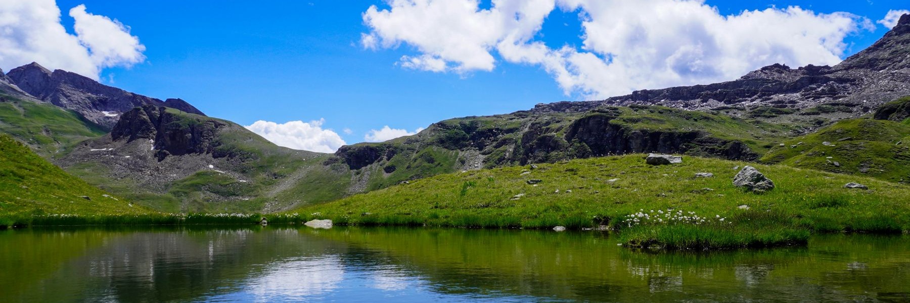
Les roches formant les Préalpes plongent, de manière générale, vers le sud. Cela a pour conséquence que les versants sud des sommets des Préalpes présentent un terrain de pâturages peu ou modérément inclinés. Par conséquent, l’ascension de ces sommets est relativement aisée. En revanche, les versants nord présentent souvent des parois abruptes et il y existe peu d’itinéraires faciles.
Les sommets du massif du Gantrisch n’échappent pas à cette règle. Ainsi, le Gantrisch et les sommets voisin du Bürgle et du Ochse peuvent être gravis en empruntant des sentiers balisés tracés dans leurs versant sud. Seul le Bürgle présente, sur son versant nord, un sentier tracé sur la carte, mais non balisé. C’est ce sentier que nous voulions aller voir de plus près.
Nous avons donc pris les transports publics pour nous rendre à la Untere Gantrischhütte. Ce jour-là, il faisait chaud dès les premières heures de la matinée. Par conséquent, nous avons souffert de la chaleur en montant depuis la Birehütte jusqu’au petit col près du Birehubel. C’est depuis ce petit col que l’on peut suivre le sentier indiqué sur la carte. Du reste, des passages sont aménagés à travers la clôture au départ du sentier. On peut donc facilement repérer son début.
La montée le long de l’arête est raide par endroit mais elle n’est pas particulièrement aérienne. Quelques petits passages nécessitent de l’attention, mais ils ne présentent pas de difficultés insurmontables. Au sommet, on trouve quelques fortins de la dernière guerre. L’aspect du béton laisse supposer qu’ils ne devaient pas être particulièrement solides. Il faut dire que le béton qui a servi à leur construction était fabriqué sur place avec les moyens du bord. A ces altitudes, cela représente un défi de taille.
Nous avons entrepris la descente en passant par le Morgetepass et l’alpage de Morgete avant de suivre la route en terre battue et poussiéreuse. Un endroit vaut particulièrement une visite : le virage depuis lequel on voit la cascade du Faal. Heureusement, on peut éviter un tronçon de route en suivant le sentier balisé passant par Schönebode, car en suivant la route, on absorbe passablement de poussière à chaque passage de véhicule.
Après une montée le long de la route, on arrive au pont suspendu qui permet de gagner l’autre rive du Morgetebach et descendre, par une succession d’escaliers, dans le fond des gorges. On ne tarde pas alors à atteindre les anciens bains de Weissenburg. Ils étaient alimentés par une source qui se trouve un peu plus en amont, le long du Buuschebach. Dans un petit abri près de la gare de Weissenburg, on peut déguster l’eau de cette source. Cette eau avait été mise en bouteille jusqu’à la fin des années 80.
Itinéraire : Untere Gantrischütte – Birehütte – Bürglegrat – Brürgle – Morgetepass – Morgete – Schönebode – Weissenburgbad
Distance : 12,5Km
Dénivellation : 750m
Durée : 5h30

![[:fr]Paysage de montagne[:en]Mountain scenery[:de]Berglandschaft[:]](https://destination-montagne.ch/wp-content/uploads/2024/08/240804_Hohtenn-Ausserberg_044-150x150.jpg) Article précédent
Article précédent![[:fr]Paysage de montagne[:en]Mountain scenery[:de]Berglandschaft[:]](https://destination-montagne.ch/wp-content/uploads/2024/08/240824_Halsensee_020-150x150.jpg) Article suivant
Article suivant