The route of the Lötschberg Panorama Trail begins in Kiental and, in four stages, leads to the Fafleralp at the end of the Lötschental. This route crosses the Lötschenpass, which, not so long ago, could be considered an Alpine trail, as a bit of glacier had to be crossed. In recent years, like many other places, this crossing has become a mountain hiking tour, due to the retreat of the glaciers.
The stage described here is the first stage of this route and, starting from Kiental, it climbs up the Kandertal.
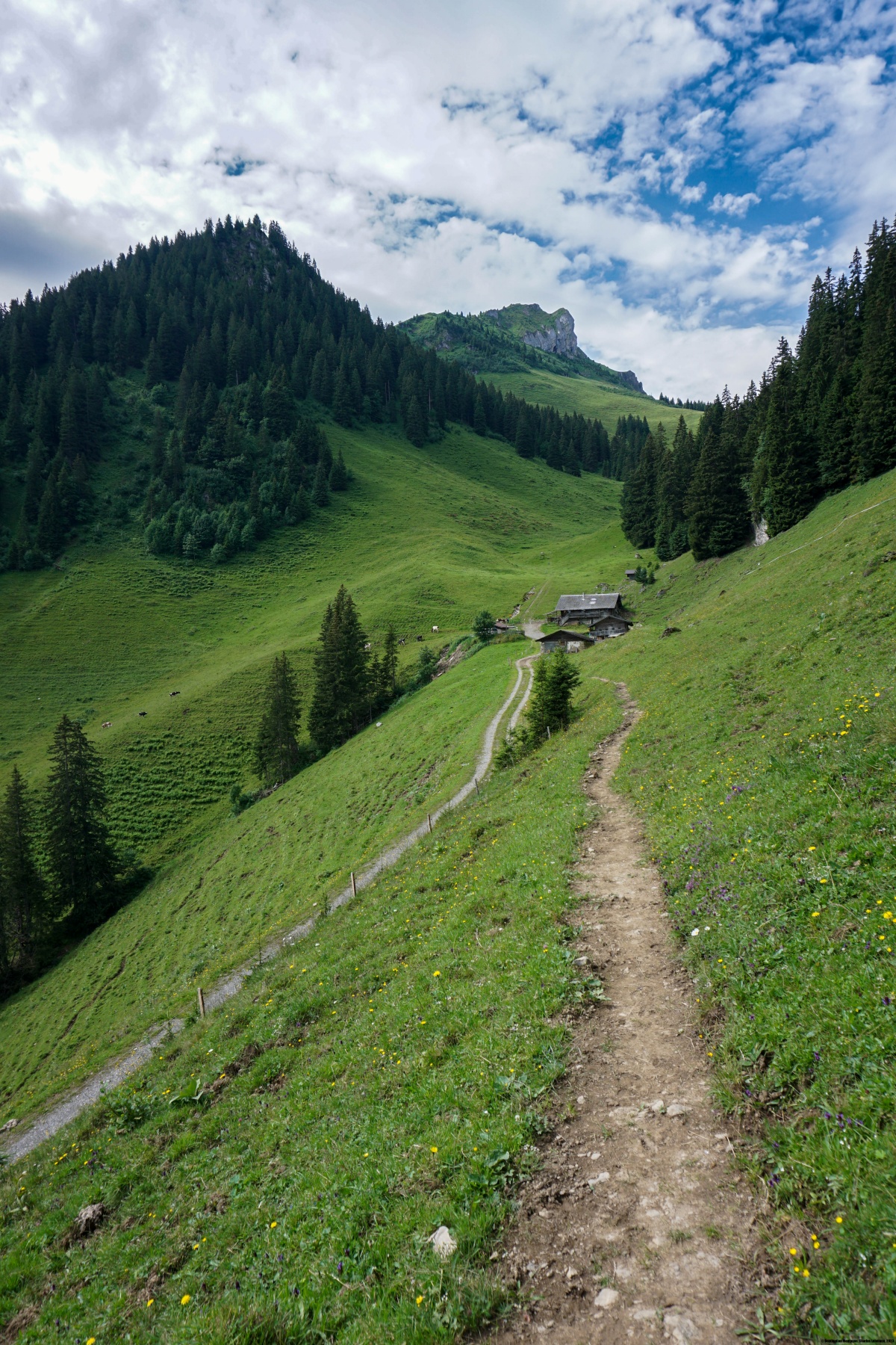
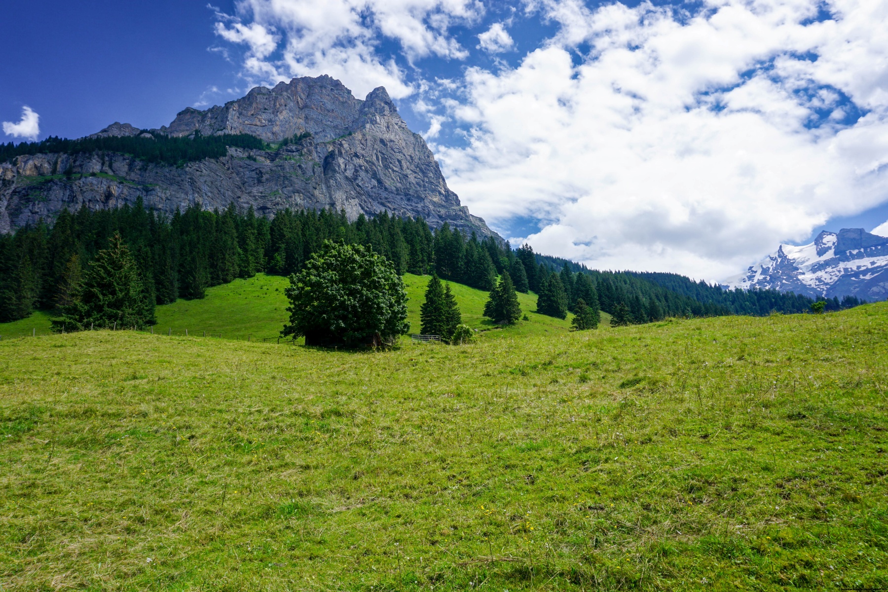
To begin with, you must gain some altitude by climbing up to Ramslauenen. The topographic map indicates that a chairlift takes you up to this mountain restaurant. However, you should be aware that the chairlift only operates when the restaurant is open. As we were there on a Monday, when the restaurant is closed, we had to climb the additional 550 metres. From the restaurant, you must climb a little further up to a good path that is almost flat and runs along the side of the mountain.
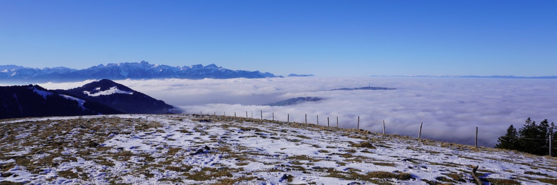
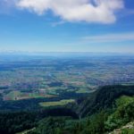
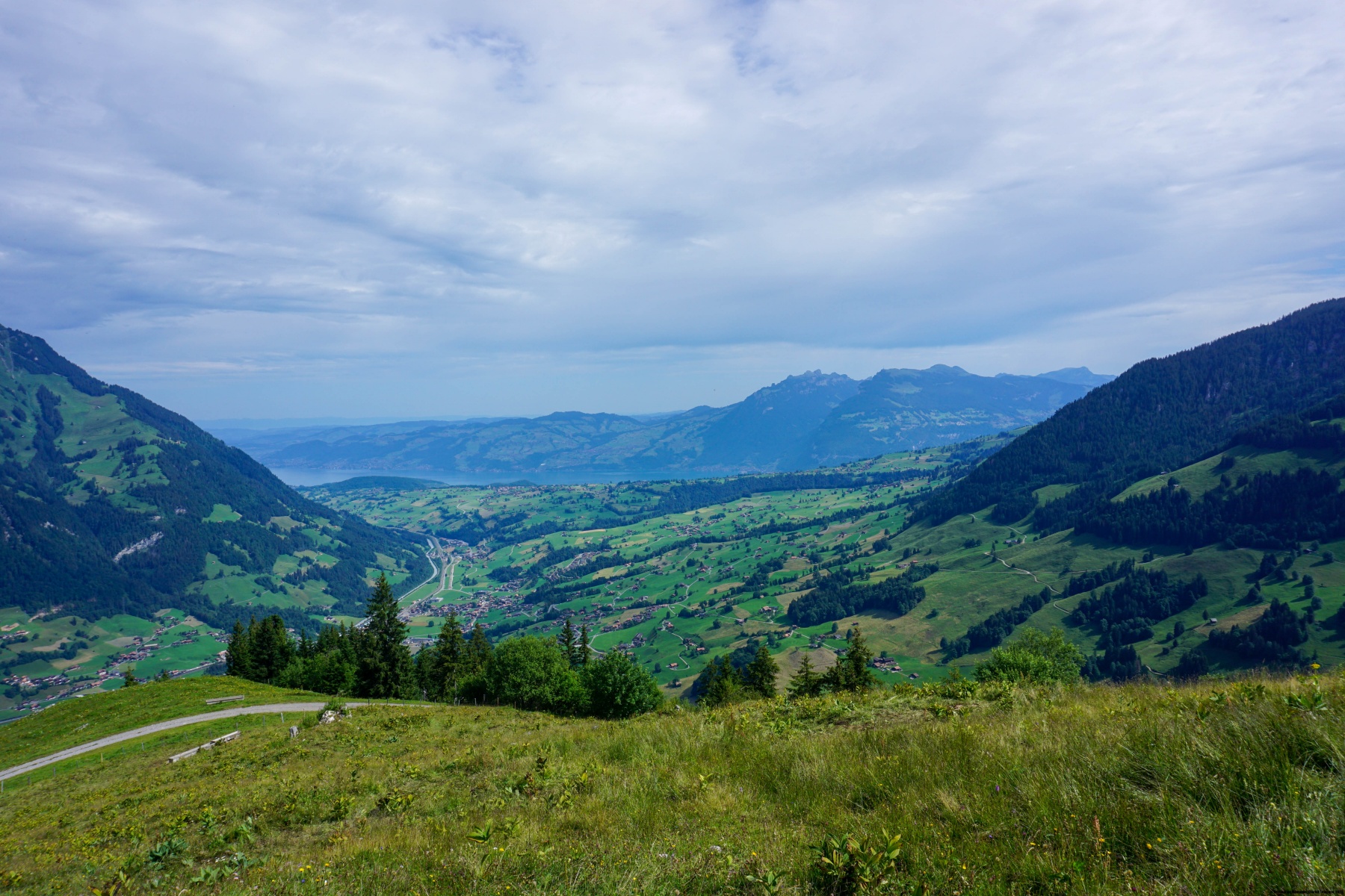
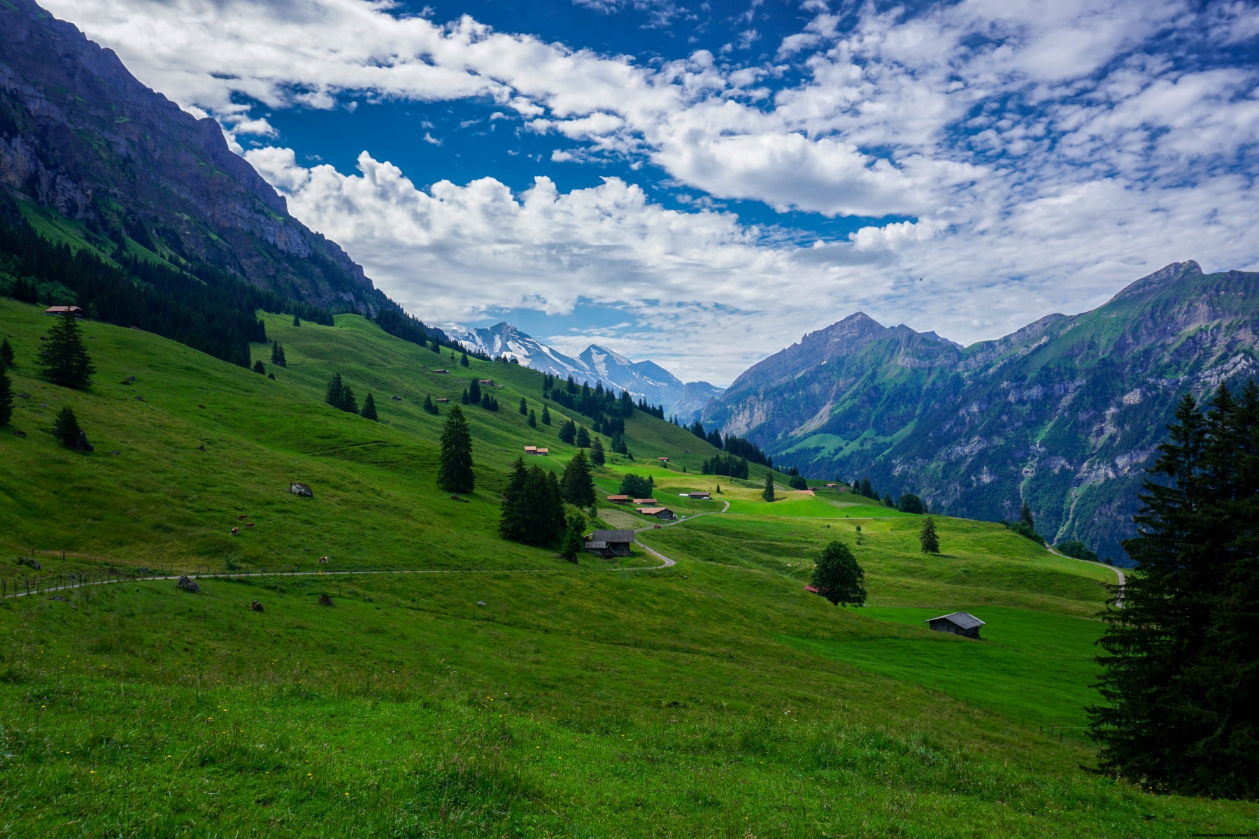
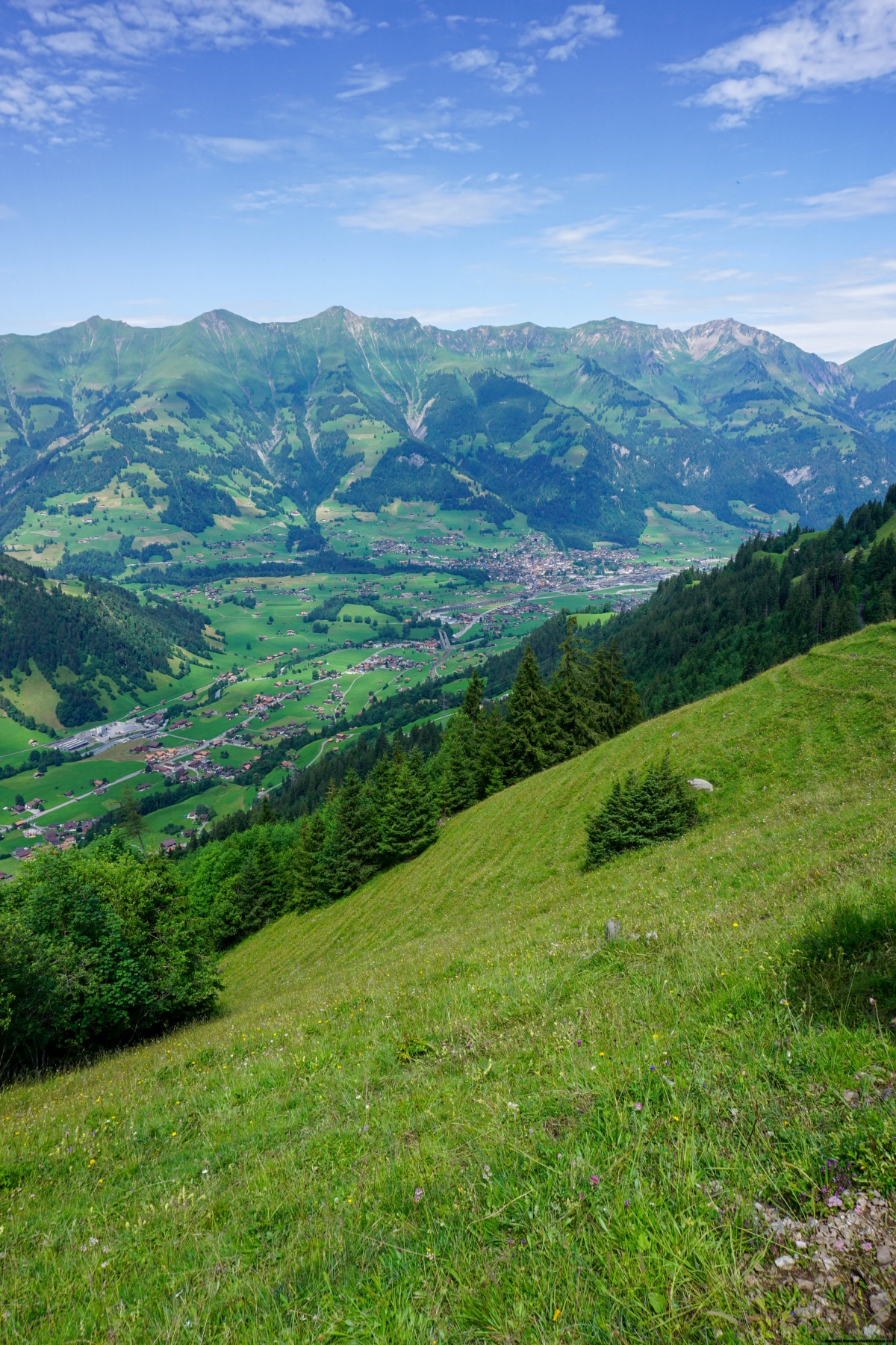
After a good stretch through the forest, you reach a small alp below Bachwald. From here, the view becomes wider. Not only can you see the bottom of the Kander valley, but also a bit of Lake Thun and the mountain that dominate it: the Sigriswilergrat. After we had rounded the corner of the Gehrihore ridge, we continued up the other side of the valley. You can see how far you have come by looking at the villages in the valley, especially Frutigen.
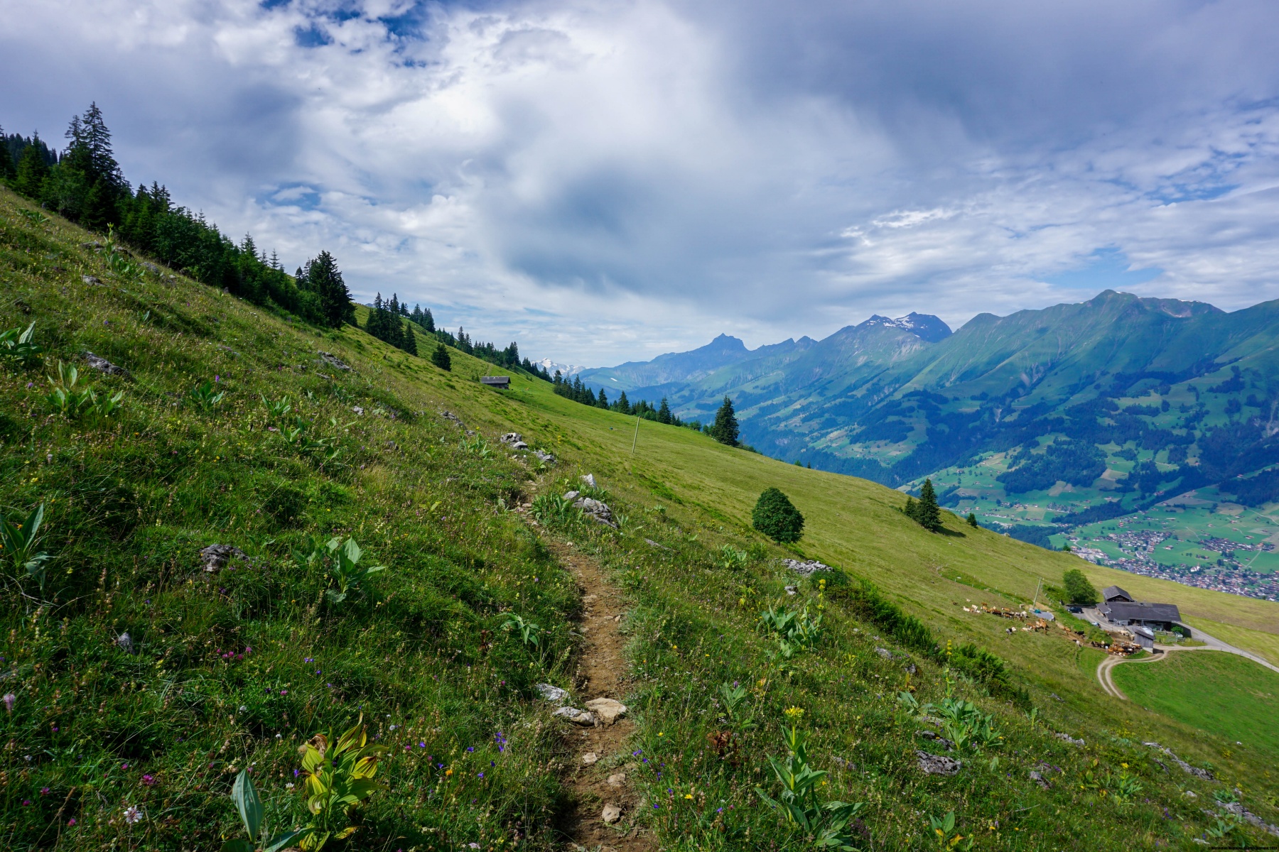
The route between Ramslauenen and A Schlafegg is relatively flat, but from there on, there are many ups and downs. Sometimes you must go down to cross a ravine, and sometimes you have to go up to avoid the railway line. At one point, you have a good view of the ruins of the Felsenburg castle, which is very visible when you pass by on the train.
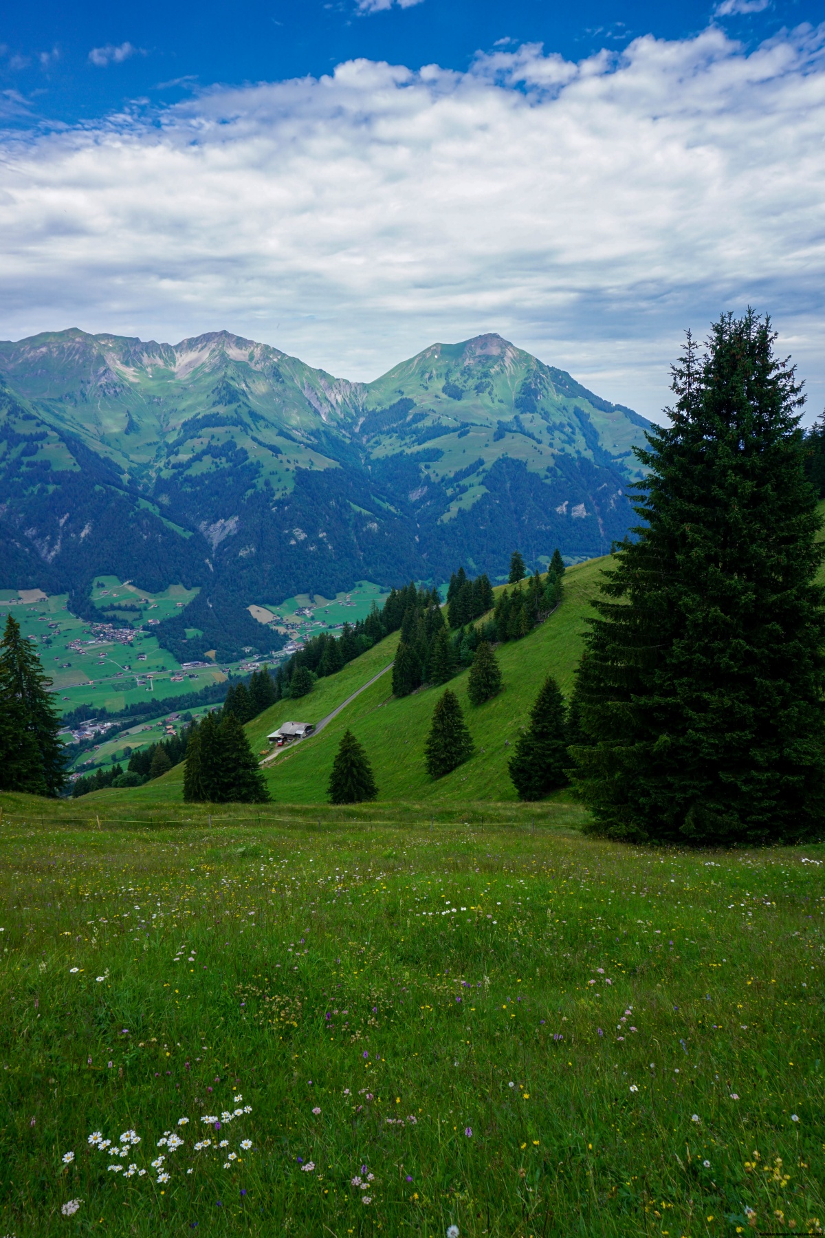
Above Mittholz, you must climb steeply again to cross several ravines. Further on, we descend to the railway line and a little further on, the road leading to Kandersteg and the platform for loading cars onto the train.
Route: Kiental – Ramslauenen – Furggi – A Schlafegg – Hemlige – Am Büel – Kandersteg
Distance: 20km
Elevation gain: 950m
Duration: 6h30

 Previous Post
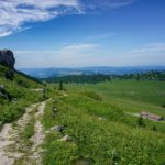 Next Post
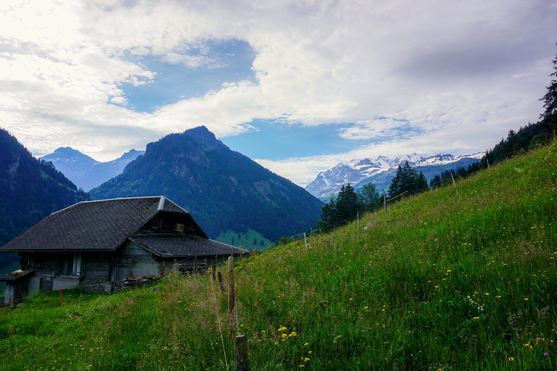