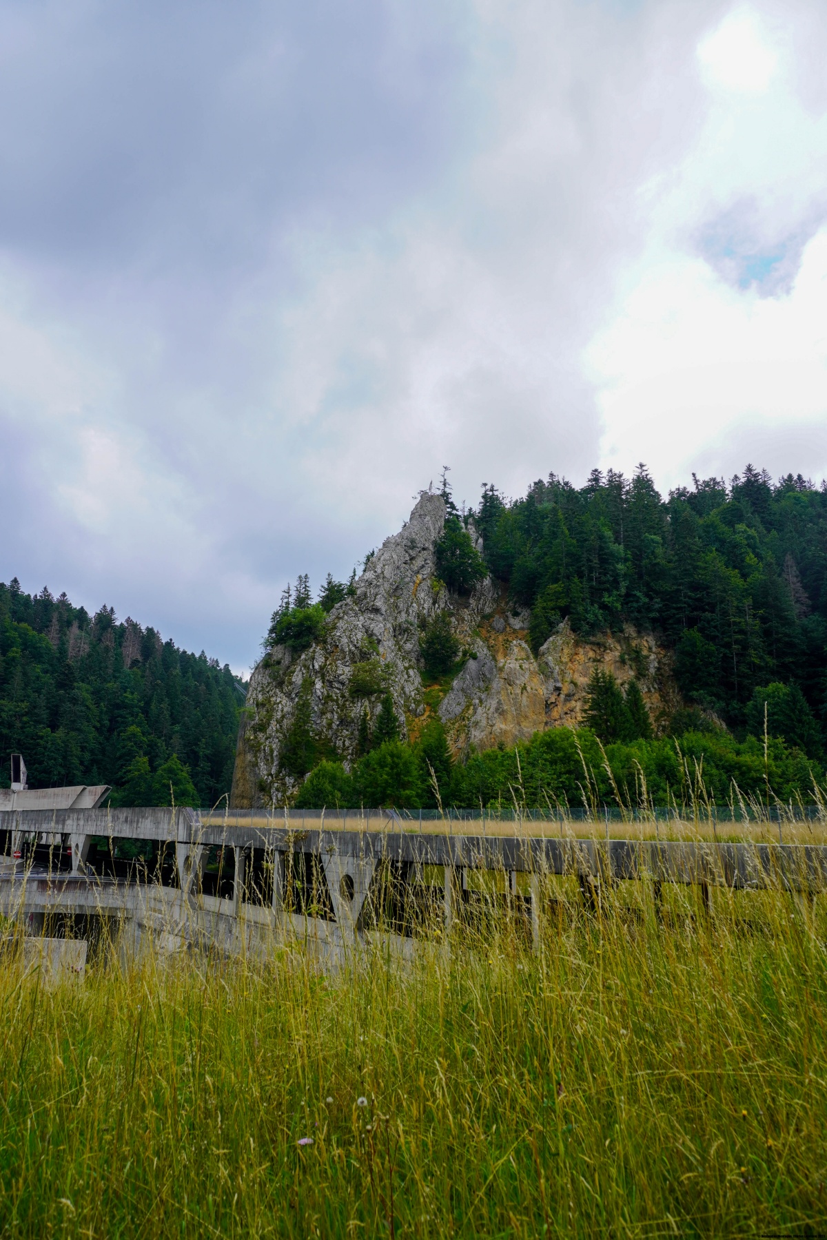
Qui se rend à la Chaux-de-Fonds en passant par les tunnels de la Vue des Alpes (soit en automobile, soit en train), ne manquera pas de remarquer qu’entre les deux tronçons de tunnels (Les Loges et le Mont Sagne) se trouve une curieuse pointe rocheuse surmontée par une figure. Il s’agit du Roc Mildeu. Le nom de ce rocher est souvent interprété à tort comme Roc Mille-Deux. En réalité, le toponyme provient d’un animal, en l’occurrence, le hibou. Ce rocher forme également la pointe de la frontière cantonale entre Berne et Neuchâtel.
Passant régulièrement devant cette pointe de rocher, je me suis demandé s’il était possible d’y accéder. Toutefois, je n’avais pas envie d’explorer l’endroit durant l’ouverture de l’autoroute, car le bruit y est assourdissant. Etant donné que les tunnels étaient en travaux durant une bonne période, je m’étais dit qu’il serait intéressant de m’y rendre.
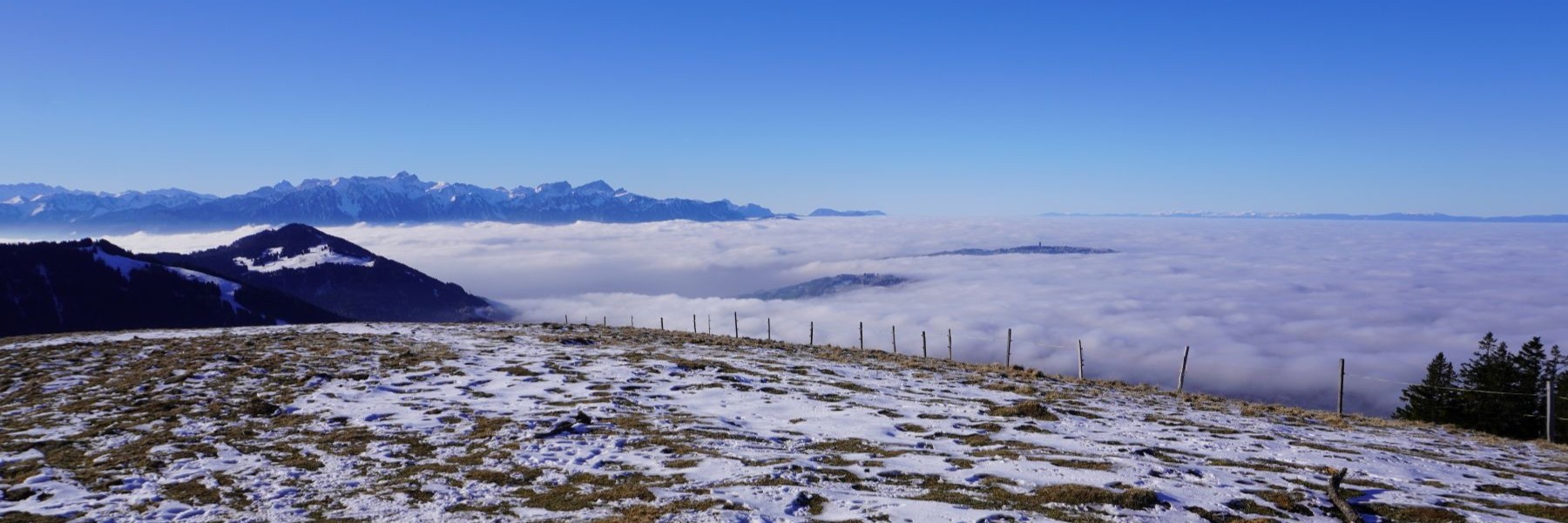
Ainsi, je suis parti de La Chaux-de-Fonds pour suivre le sentier de la Vue des Alpes. En suivant le sentier, j’ai eu une première surprise : tout le trafic passant à travers les tunnels ayant été dévié par le col, il était parfois très compliqué de traverser la route, or on la traverse à trois reprises : une fois en-dessous du Reymond, une fois à Boinod et une dernière fois sous le Col de la Brûlée. Une fois Les Combes atteintes, j’ai été surpris par le calme qui y régnait. Seul un engin de chantier passant dans les tunnels perturbait un peu le calme.
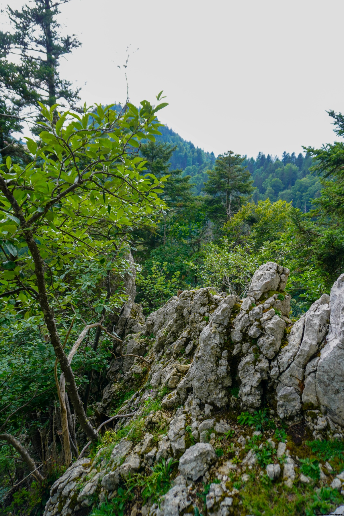
Il m’a fallu alors passer par-dessus le portail du tunnel des Loges pour suivre le chemin de la Grande Combe. Très rapidement, il m’a fallu le quitter pour suivre un sentier dessiné sur la carte et qui monte sur la crête. Malheureusement, les passages à travers la clôture sont soit inexistants, soit inopérants. Ce n’est que le long de la crête que les passages sont praticables. En suivant la crête, on arrive au point culminant, qui n’est pas la pointe portant la figure. On n’arrive qu’à une cinquantaine de mètres de la figure. Pour la rejoindre, il faudrait du matériel d’escalade.
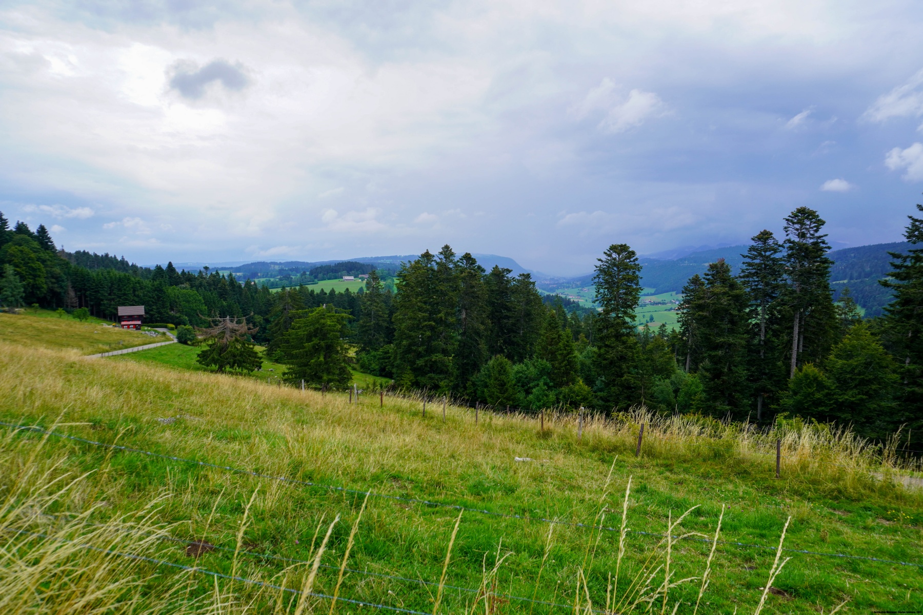
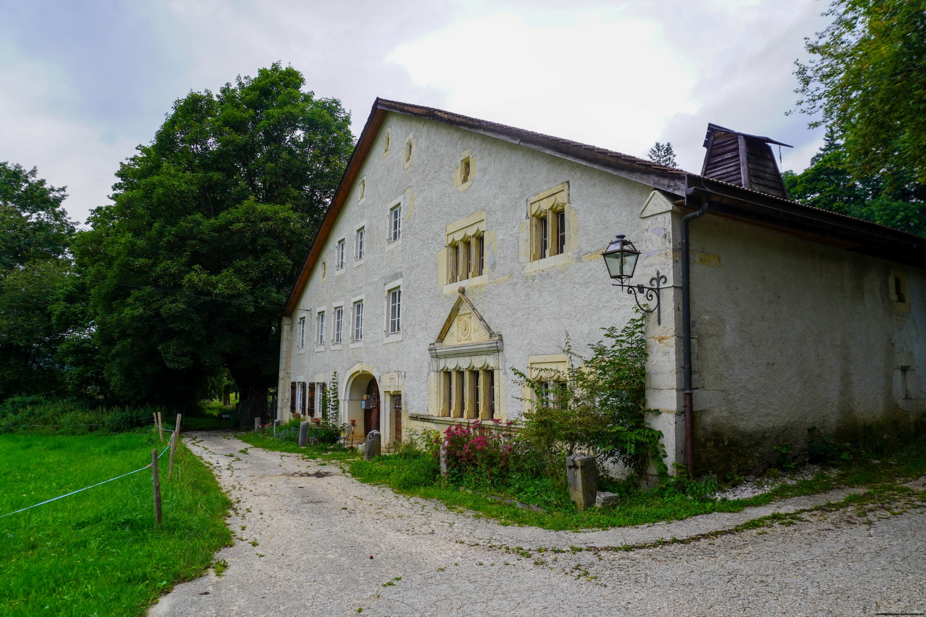
Pour le retour, j’étais redescendu aux Convers pour suivre un chemin montant en direction du Mont Cornu. Pour rejoindre la ville, je suis encore passé devant le magnifique bâtiment de la Ferme des Brandt.
Itinéraire : La Chaux-de-Fonds – Le Bois du Couvent – Le Reymond – Boinod – Col de la Brûlée – Les Convers – Roc Mildeu – Mont Cornu – Ferme des Brandt – Les Arêtes – La Chaux-de-Fonds
Distance : 14,8Km
Dénivellation : 670m
Durée : 4h30

 Previous Post
 Next Post