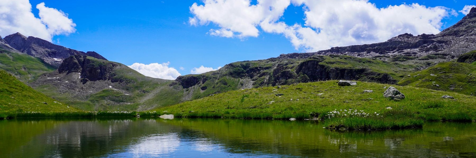
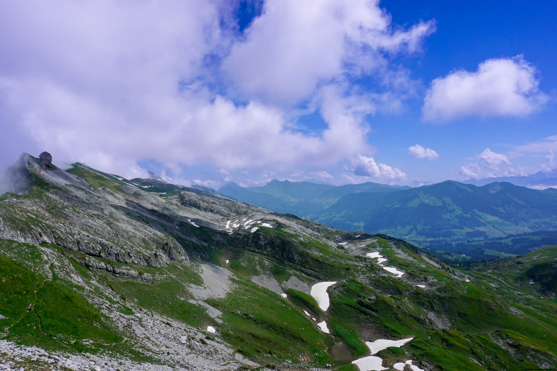
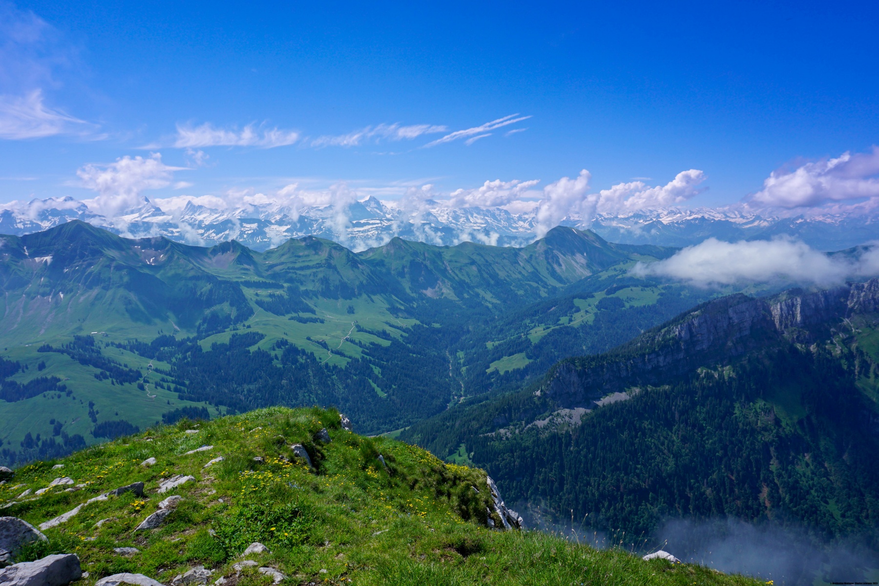
La Schrattenfluh est une petite chaîne de montagne assez surprenante. En effet, son flanc nord-ouest présente des parois abruptes descendant sur la vallée de l’Emme, tandis que le flanc sud-est est constitué d’un énorme plateau légèrement incliné et présentant des lapiaz de renommée mondiale. Ainsi, en montant le versant donnant sur Sörenberg, on arrive assez facilement sur la crête. Les seules difficultés proviennent des éventuels détours que l’on doit effectuer pour éviter les crevasses et les gouffres. Le fil de la crête est relativement plat et seul le Schibegütsch se détache nettement de celui-ci. Ce sommet, dont la paroi se distingue de loin, forme la première élévation de la Schrattenfluh, juste en face du Hohgant.
Une légende explique les causes de la formation du plateau de lapiaz. Comme c’est souvent le cas dans des légendes montagnardes, les causes sont des sacrilèges et des malhonnêtetés. On raconte que le paysan malhonnête avait une fille très belle qui n’aurait donné sa main au seul téméraire qui arriverait à escalader le Schibegütsch. Beaucoup de prétendants ont ainsi trouvé une fin tragique.
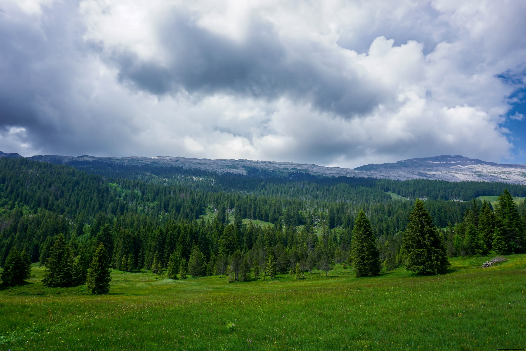
La randonnée que nous avons effectuée ici part depuis le bout de la route partant de Waglisei. On y trouve deux parkings, mais je peux m’imaginer qu’en été, lors de forte affluence, ils doivent être assez rapidement remplis. Depuis le parking, l’itinéraire balisé suit un chemin carrossable par endroit assez raboteux et désagréable. Comme il s’agit du chemin qui mène au chalet de la Chlushütte, on doit le suivre durant un bon moment.
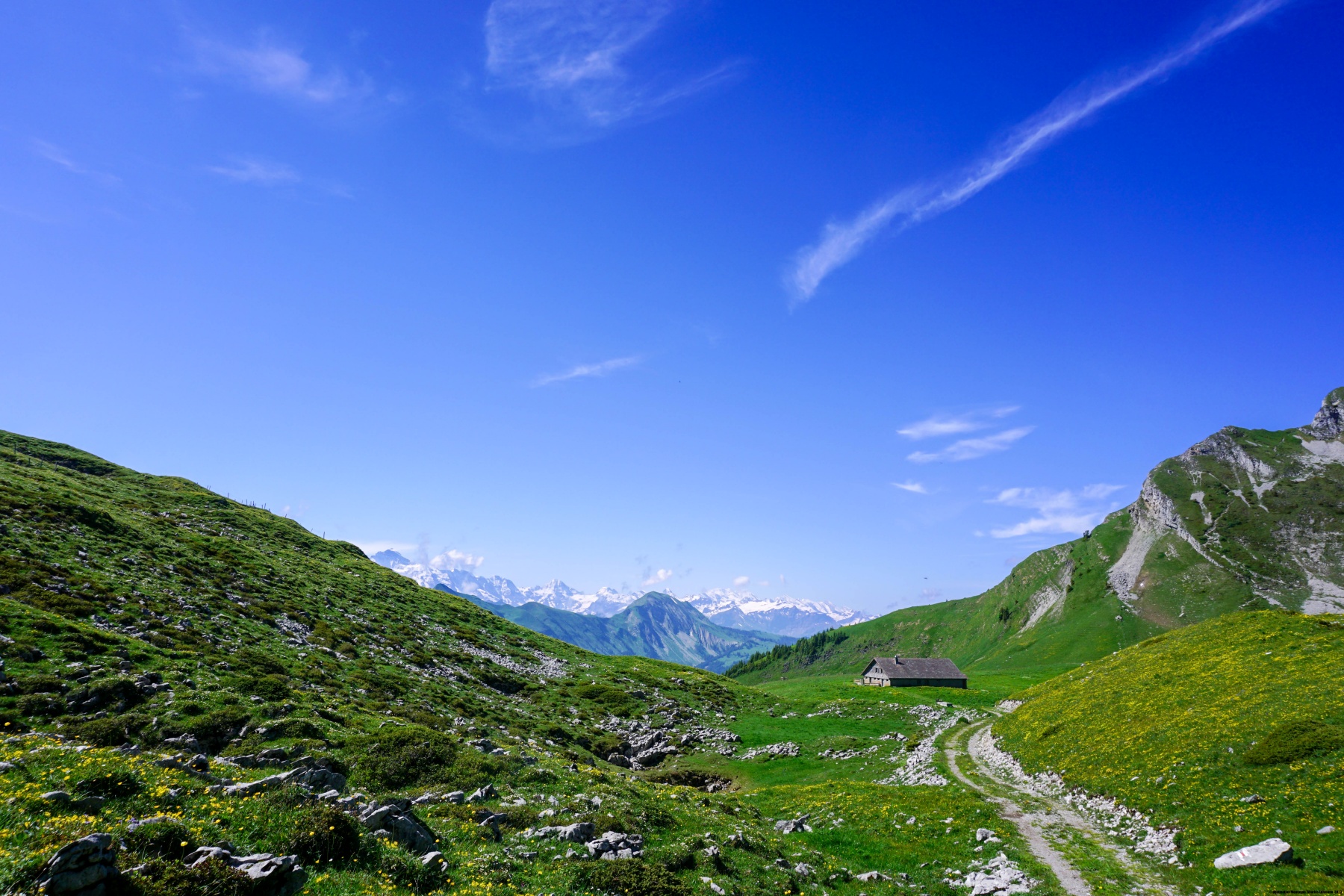
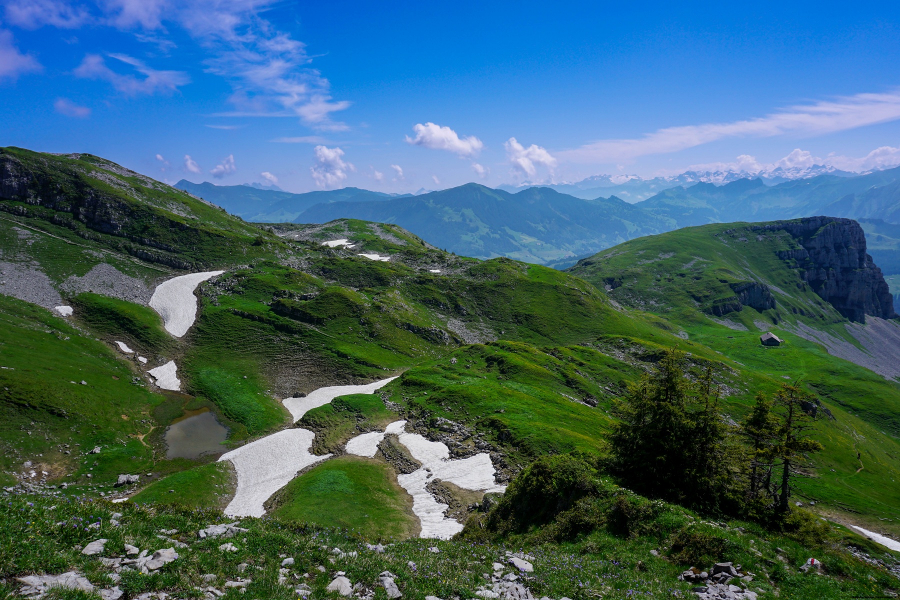
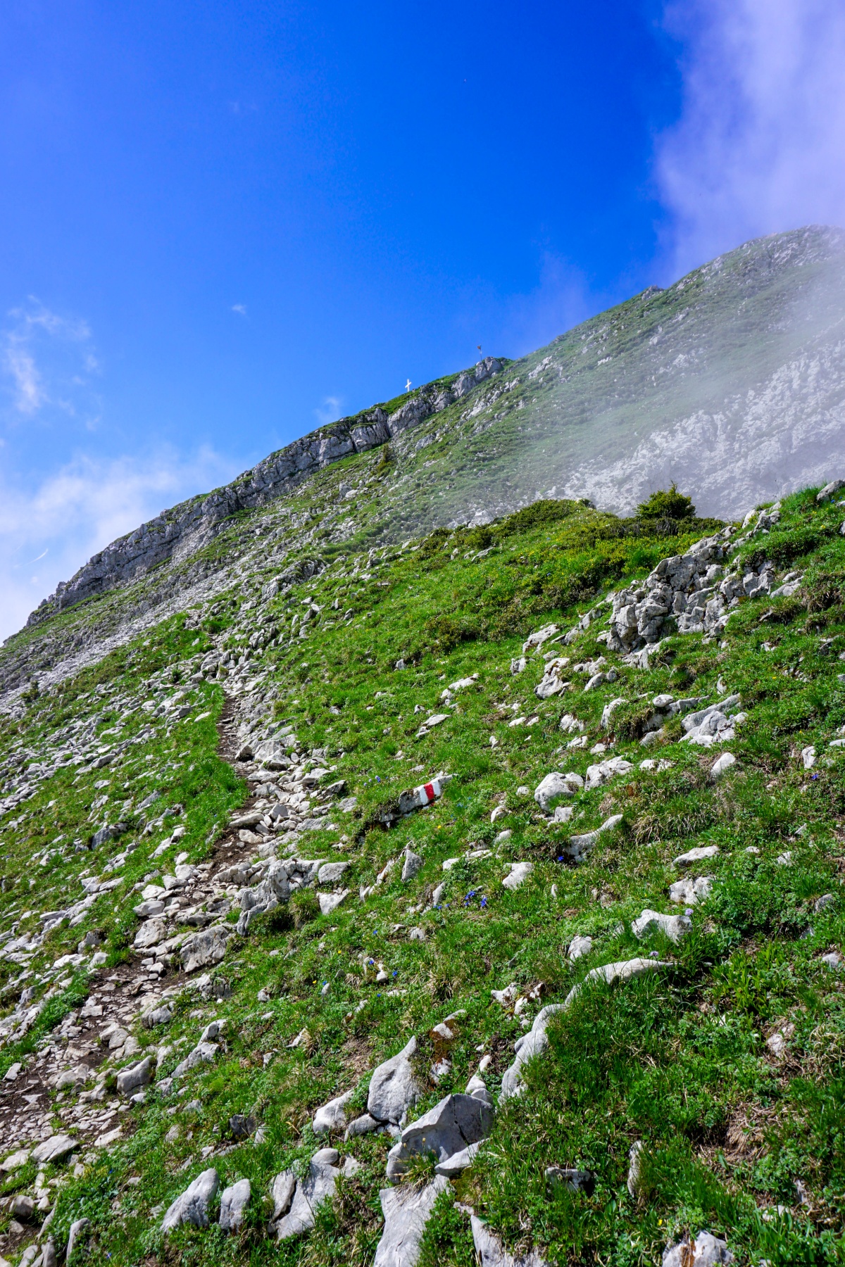
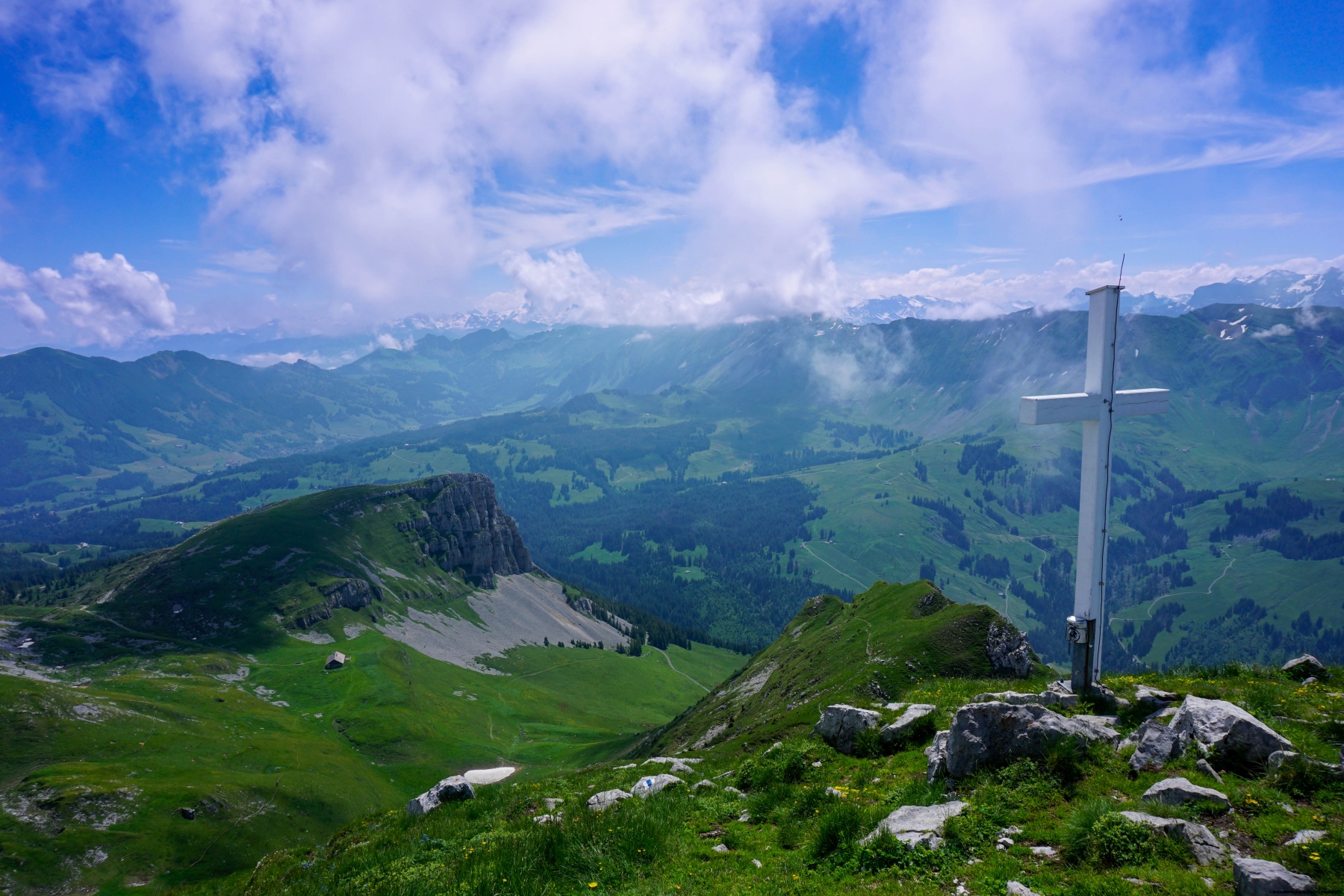
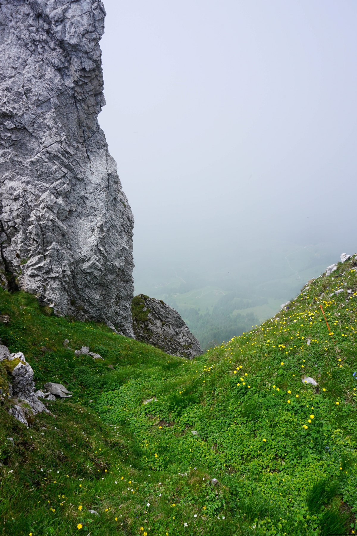
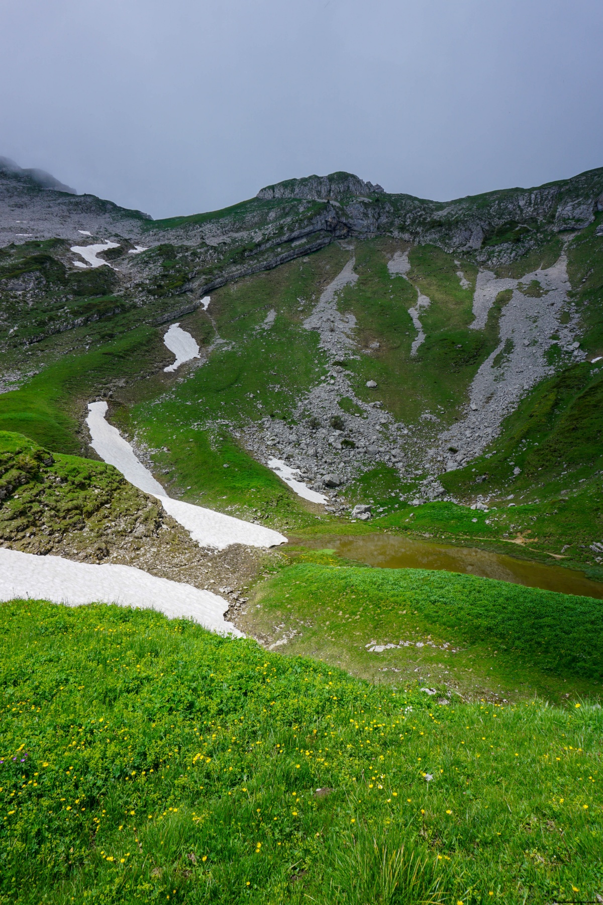
Depuis ce chalet, les choses sérieuses commencent et on a le choix entre soit suivre l’itinéraire alpin (balisé en blanc-bleu-blanc) ou le sentier de montagne. Dans les deux cas, c’est raide et il faut par moment franchir quelques ressauts rocheux. Dans notre cas, nous avions opté pour le chemin de randonnée de montagne. On abouti alors à un petit col se trouvant au nord du sommet. C’est à partir de cet endroit que cela devient un peu aérien, car on longe alors la crête. Malheureusement, dans notre cas, des nuages avaient commencés à accrocher le flanc nord-ouest de la chaîne, empêchant la vue sur Schangnau et Marbachegg.
Pour la descente, nous avions opté pour une petite boucle passant non loin du pied du Türtstehäuptli, ressemblant à un bloc posé sur la crête. Le reste s’était déroulé selon l’itinéraire de montée, car de gros cumulus commençaient à se former, présageant d’un orage. Heureusement, celui-ci s’est déclenché alors que nous étions de retour à Sörenberg.
Itinéraire : Waglisei – Schlund – Chlushütte – Schibegütsch – Chlushütte – Schlund – Waglisei
Distance : 10,5Km
Dénivellation : 760m
Durée : 4h

![[:fr]Paysage de montagne[:en]Mountain scenery[:de]Berglandschaft[:]](https://destination-montagne.ch/wp-content/uploads/2024/06/240624_Lammschlucht_018-150x150.jpg) Article précédent
Article précédent![[:fr]Paysage de montagne[:en]Mountain scenery[:de]Berglandschaft[:]](https://destination-montagne.ch/wp-content/uploads/2024/06/240628_Gental_013-150x150.jpg) Article suivant
Article suivant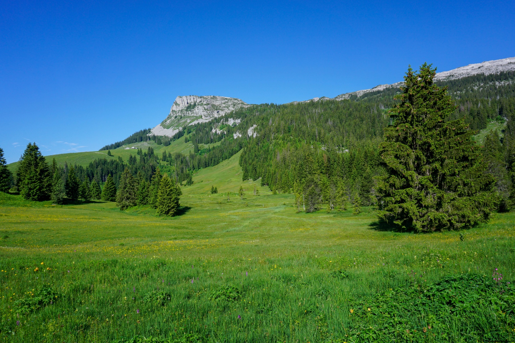