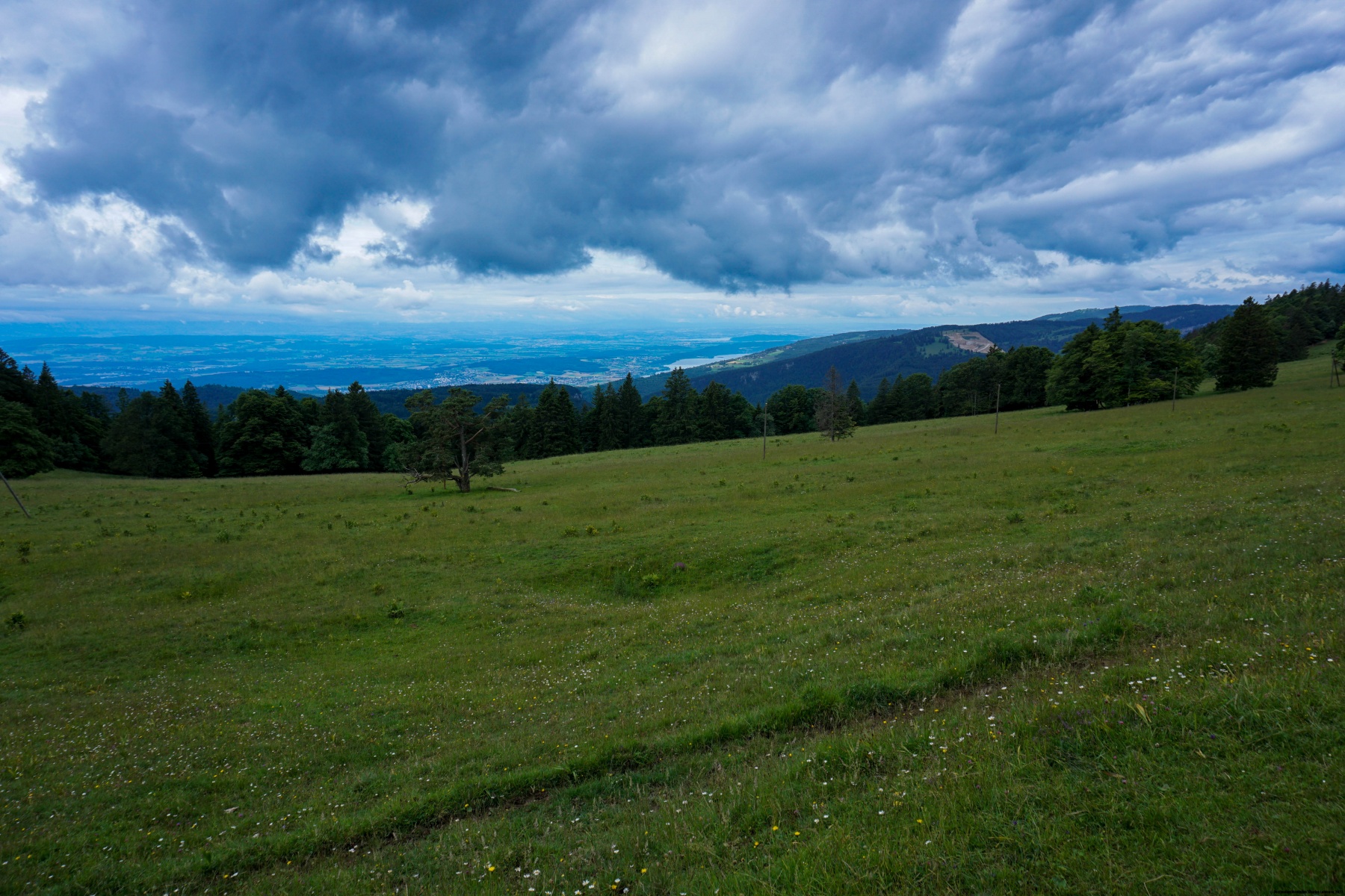
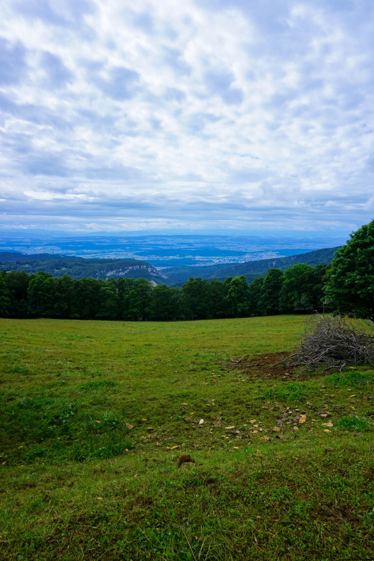
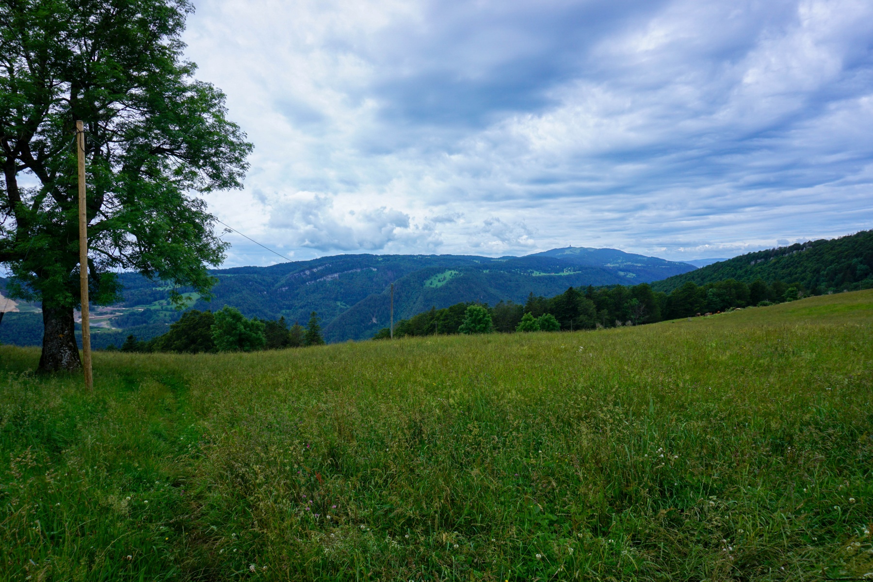
La chaîne du Jura, vers le bas du Vallon de Saint-Imier, présente une morphologie assez complexe. En effet, la Suze qui, jusqu’à Sombeval coulait de manière assez rectiligne, franchit deux cluses avant de déboucher à Boujean. Il en résulte que les premiers contreforts du Jura dominant le Plateau Suisse ne présentent pas forcément les meilleurs points de vue sur les Alpes. Contrairement à la petite chaîne longeant la Vallée de Tavanne. En effet, depuis Montoz et de la Werdtberg, on a une belle vue sur le plateau et la suite de la chaîne du Jura.
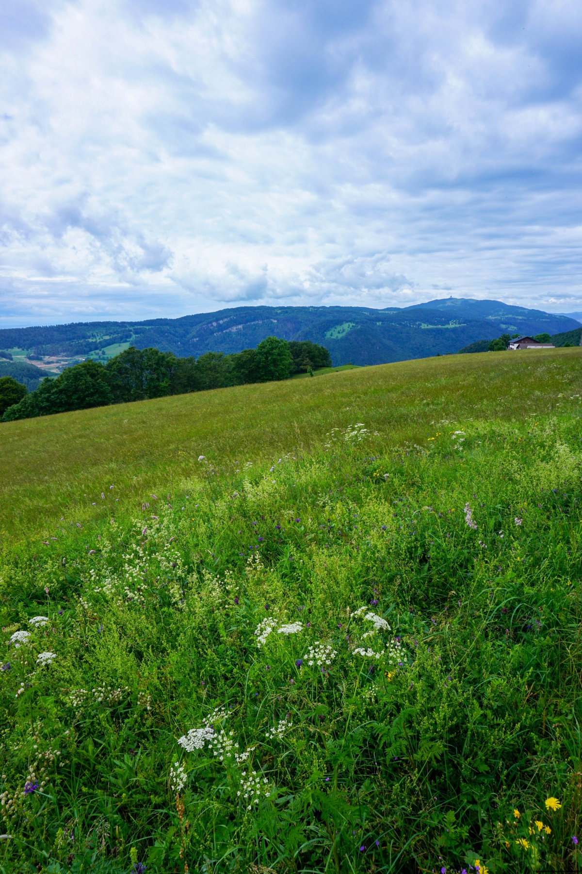
Depuis la gare de Malleray, nous nous sommes d’abord rendus à Bévilard avant d’attaquer la côte permettant de gagner la crête. Le sentier, assez raide par endroits, suit un bout de route goudronnée avant de reprendre son cours à travers bois. Lorsque l’on arrive dans les pâturages, il vaut la peine de se détourner un peu afin de gagner le sommet du Montoz. Bien que partiellement boisé, la vue depuis ce sommet est bien dégagée en direction de l’est.
En suivant le sentier balisé en direction de l’ouest, on ne tarde pas à passer devant la Métairie de Malleray et de l’auberge du Werdtberg. La vue depuis cet endroit sur le Chasseral est bien dégagée. Cependant, elle est un peu gâchée par la présence de la carrière de la Tscharner, utilisée par la cimenterie de la Reuchenette.
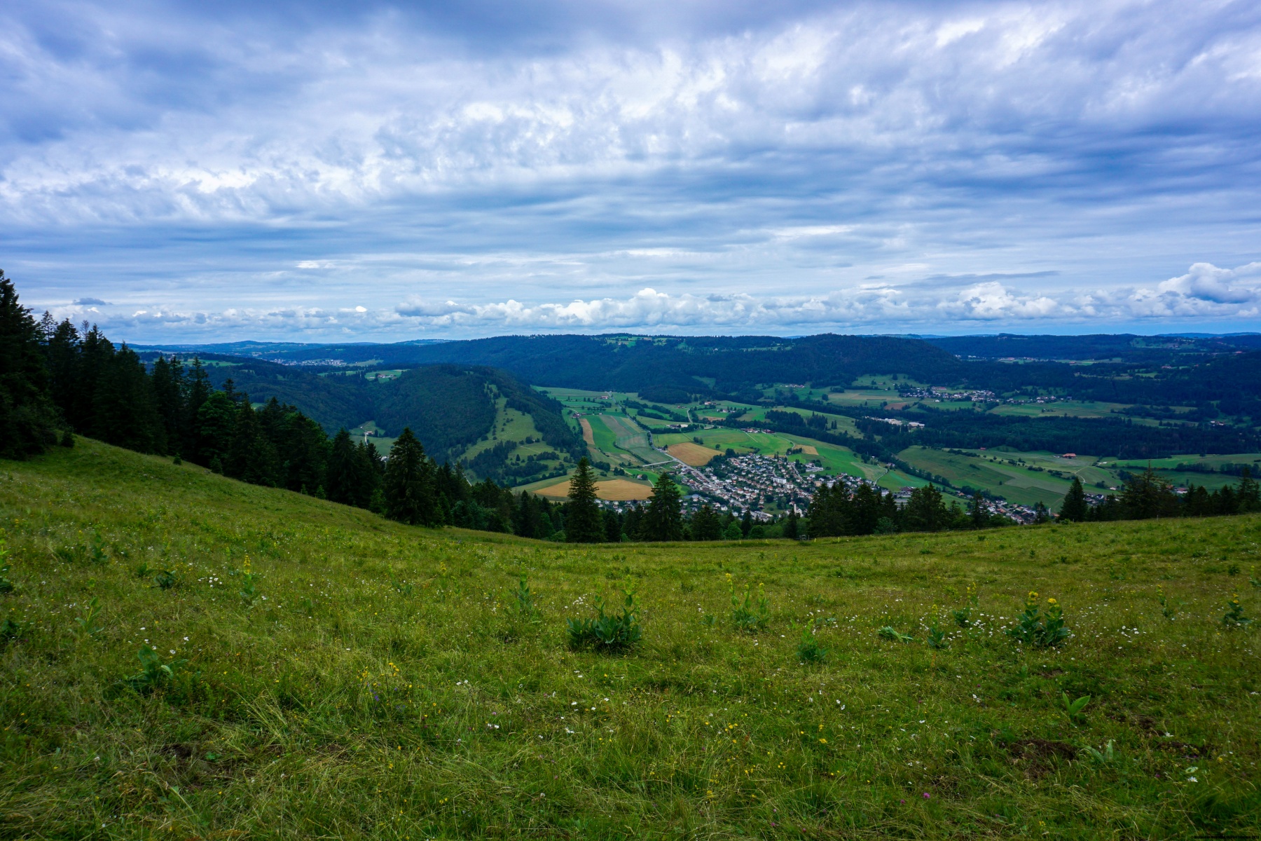
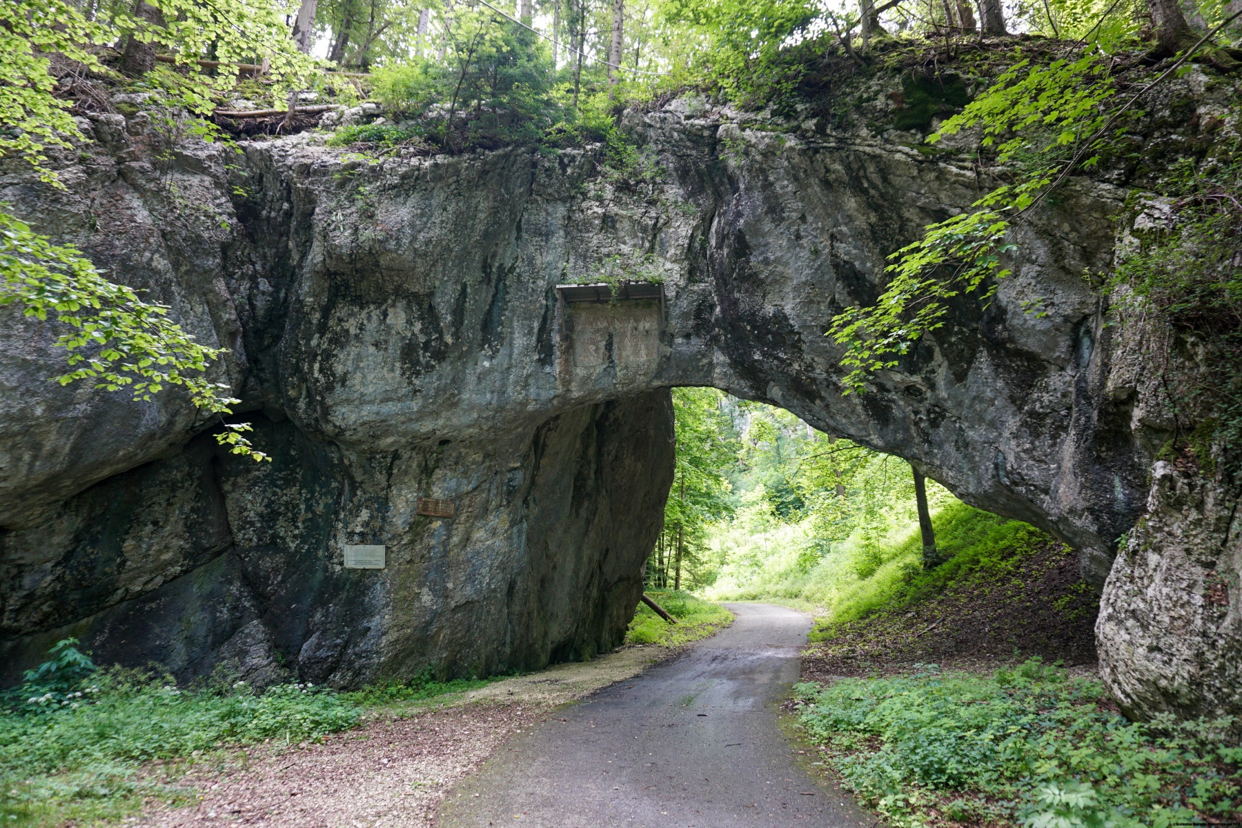
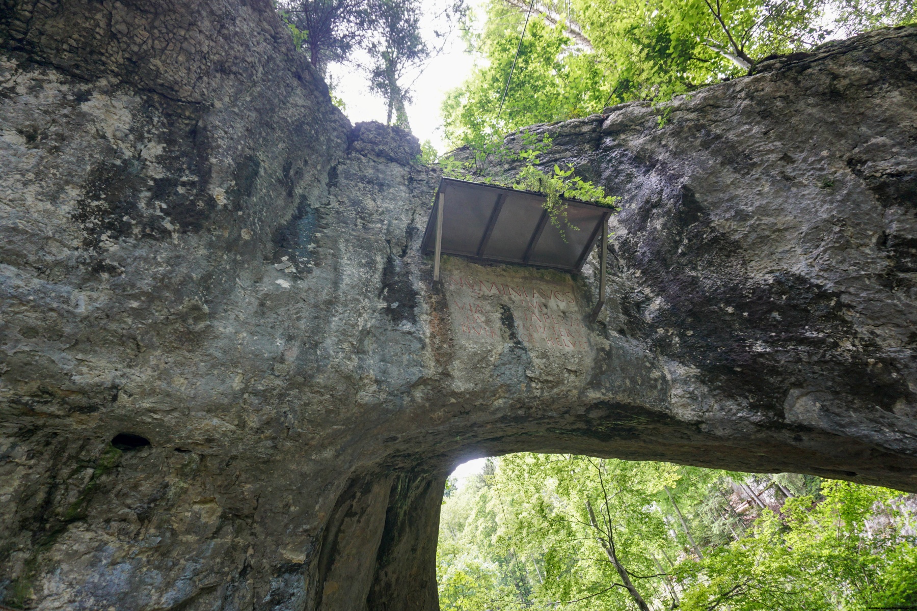
Depuis le Werdtberg, nous étions descendus à Tavannes en suivant le sentier balisé. Arrivés dans cette localité, nous avions été à la Source de la Birse, au lieu de reprendre le train. Depuis la Source de la Birse, il vaut encore la peine de monter un peu en suivant l’ancienne route du Col de Pierre Pertuis. On passe alors sous l’arche, en partie naturelle, qui a donné son nom au col. Le fronton du portail comporte une inscription romaine, attestant de l’importance du passage à cette époque déjà.
J’ai le souvenir qu’enfant, il y avait souvent des annonces à la radio en hiver, enjoignant les automobilistes à utiliser des chaînes à neige pour franchir le Col de Pierre Pertuis. Avec le changement climatique et les chutes de neige qui se font plus rare, puis l’ouverture de la Transjurane, on n’en entend plus parler.
Dans la descente du Col de Pierre Pertuis, on suit un court moment la voie de chemin de fer qui, après avoir traversé le tunnel, descend à flanc de coteau pour finalement effectuer un large virage pour revenir à la gare de Sonceboz-Sombeval.
Itinéraire : Malleray – Bévilard – Montoz – Werdtberg – Tavannes – Col de Pierre Pertuis – Sonceboz-Sombeval
Distance : 17,5Km
Dénivellation : 830m
Durée : 5h30
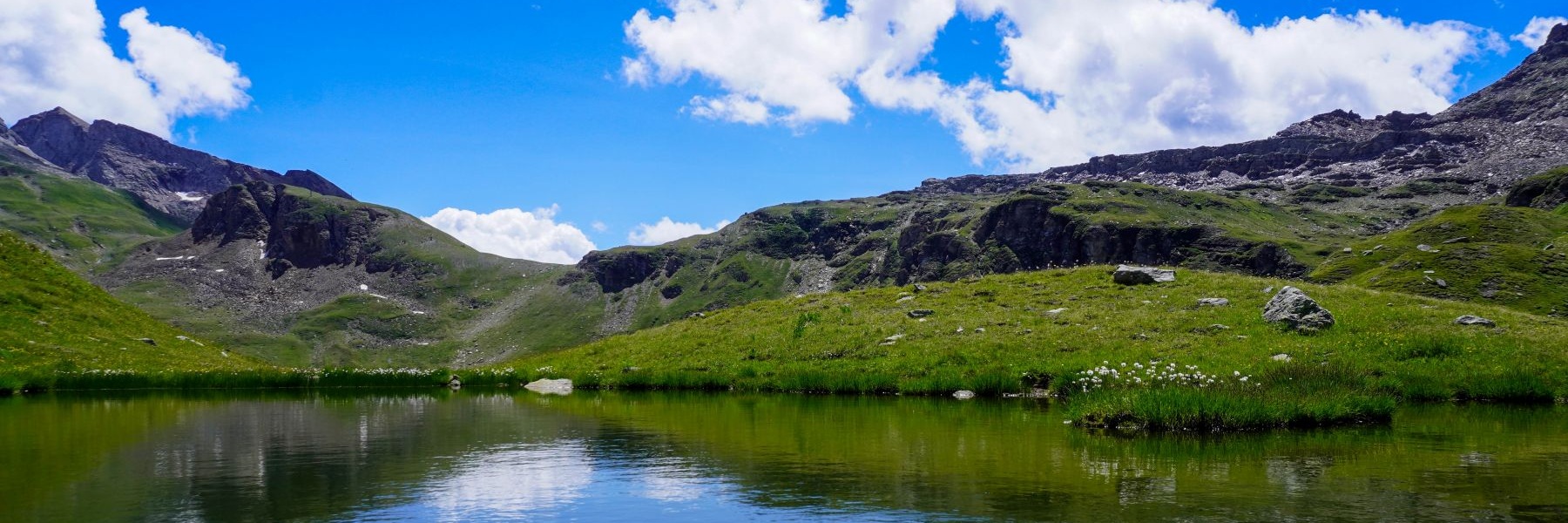

![[:fr]Paysage de montagne[:en]Mountain scenery[:de]Berglandschaft[:]](https://destination-montagne.ch/wp-content/uploads/2024/06/240628_Gental_013-150x150.jpg) Article précédent
Article précédent![[:fr]Paysage de montagne[:en]Mountain scenery[:de]Berglandschaft[:]](https://destination-montagne.ch/wp-content/uploads/2024/07/240706_Sentier_Gantrisch_001-150x150.jpg) Article suivant
Article suivant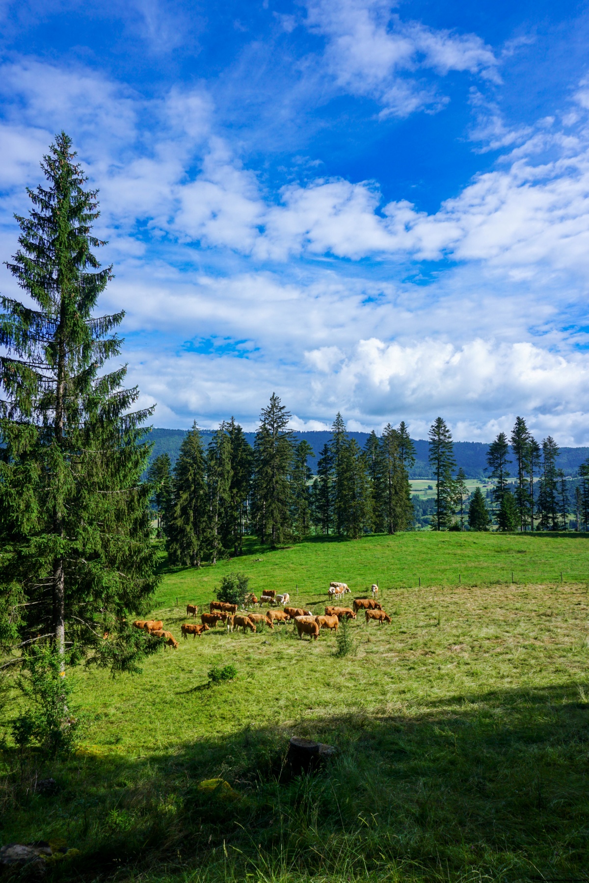