Als wir einige Tage zuvor von der Röti und dem Balmfluechöpfli abgestiegen waren, hatten wir festgestellt, dass einige Leute einen kleinen Pfad benutzten, der zum offiziellen Weg hinaufführt. Als ich mir die Karte genauer anschaute, stellte ich fest, dass es diesen Pfad tatsächlich gibt, aber nicht als offizieller Wanderweg eingezeichnet ist. Nach einigem Recherchieren fand ich heraus, dass dieser Pfad einen Namen trägt: “Clubwägli”, was so viel wie “Klubpfad” bedeutet. Zudem stellte ich fest, dass viele diesen Pfad als T4 einstufen. Neugierig wollte ich mir diesen Pfad genauer anschauen, vor allem, weil ich dachte, dass dieser Pfad eine Alternative zum Stigelos sein könnte, der für mich definitiv zu stark besucht ist.
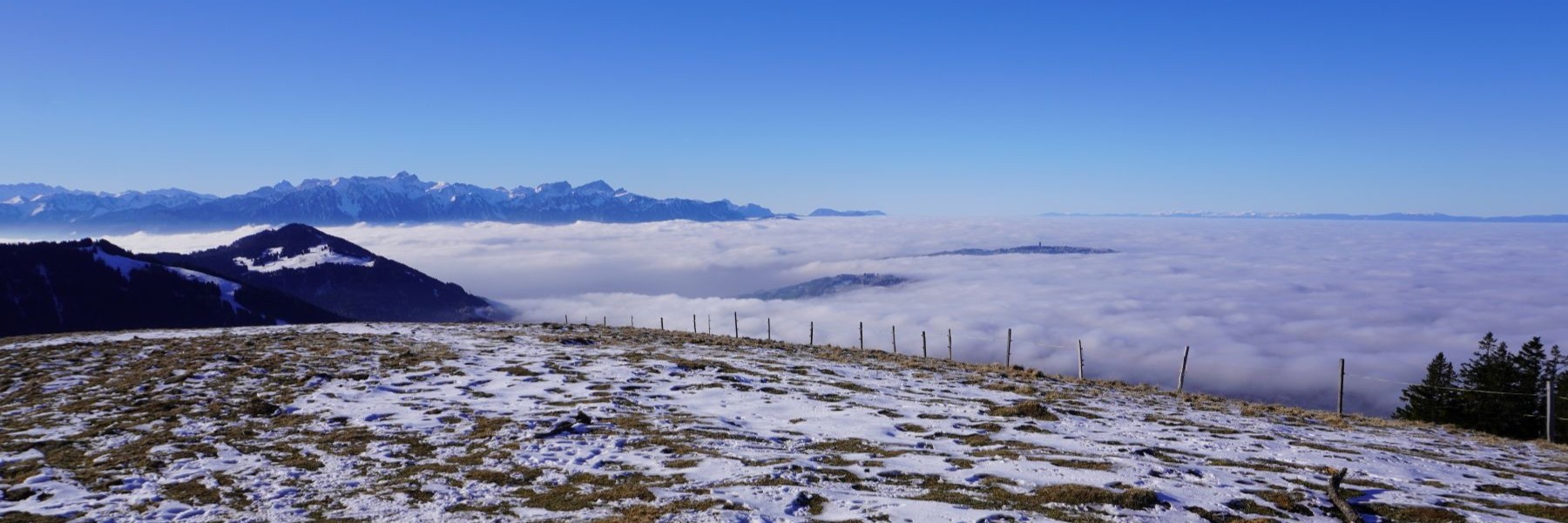
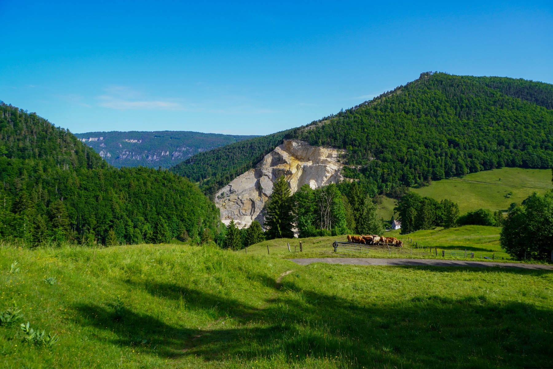
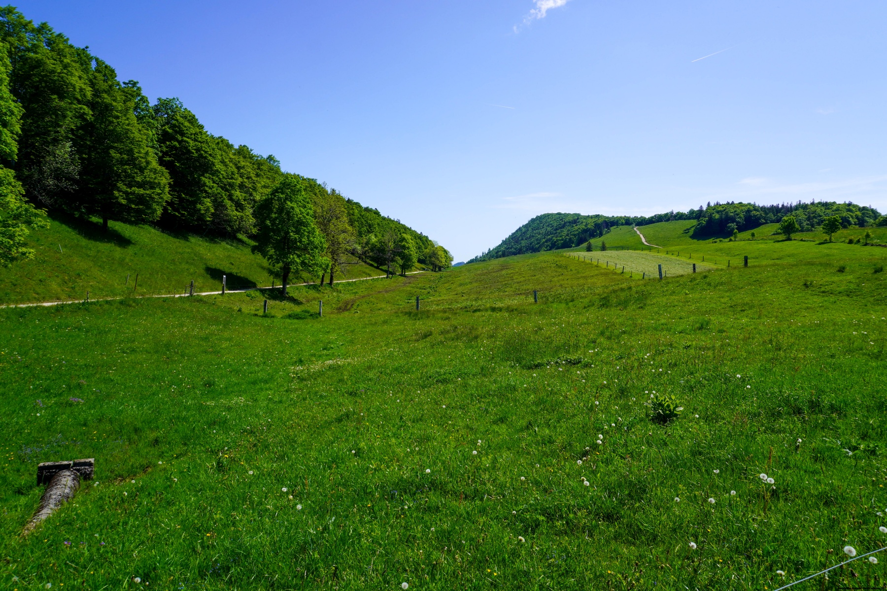
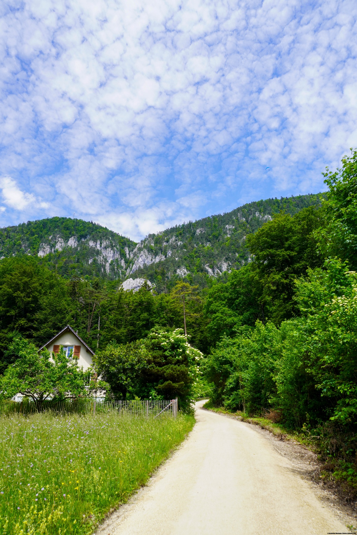
So fuhren wir mit dem Bus nach Gänsbrunnen (die Bahnlinie durch den Weissensteintunnel ist immer noch im Bau) und stiegen auf dem markierten Pfad in Richtung Rüschgraben. Da wir aber auch das Nidleloch (die “Sahne-Loch”) besichtigen wollten, verliessen wir den Rüschgraben Weg kurz vor dem Felsvorsprung, wo man durch einen Tunnel hindurchgeht. Weniger als 100 Meter vor diesem Tunnel gibt es ein deutlicher Pfad, der steil nach links in den Wald hinaufführt. Zuerst steil, wird er etwas flacher, wenn man unter dem Grat hindurchgeht, und steiler und ungemütlicher, wenn man sich den Weiden des Hinterweissensteins nähert.
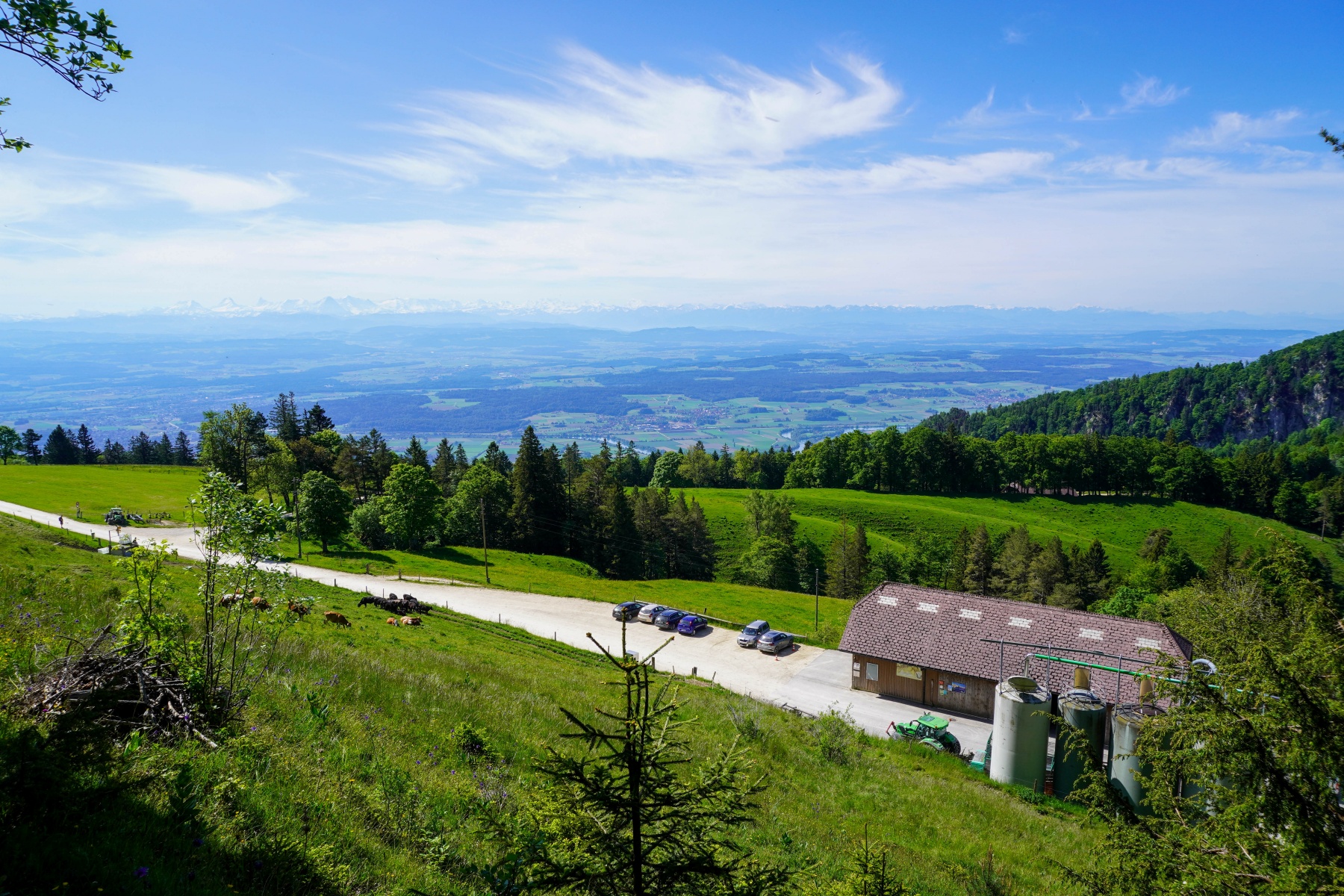
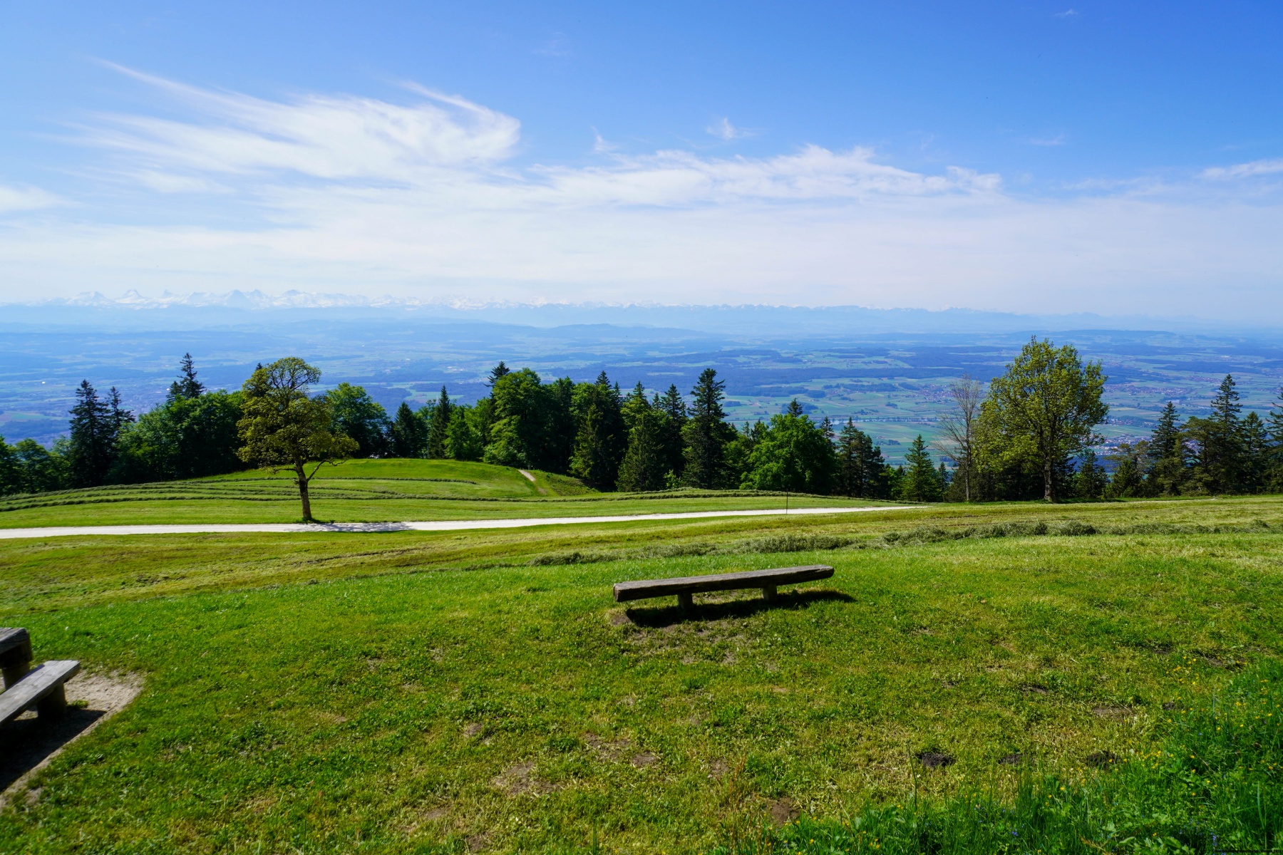
Als wir auf diese Weide kamen, konnten wir einer guten Spur folgen, die unter dem Hotel und Restaurant des Hinterweissensteins hindurchführt. Kurz vor dem ersten Gebäude gibt es einen kleinen Pfad, der zum Eingang des Nidleloch führt. Für den weiteren Weg gingen wir zurück und folgten dem Hammerweg, einem kleinen Pfad, der am Waldrand entlangführt, bis wir später auf den markierten Pfad bis zum Vorderweissenstein stiessen. Von dort (dies ist auch die Endstation der Gondelbahn) ging es steil bergab zur Zwischenstation in Nesselboden.
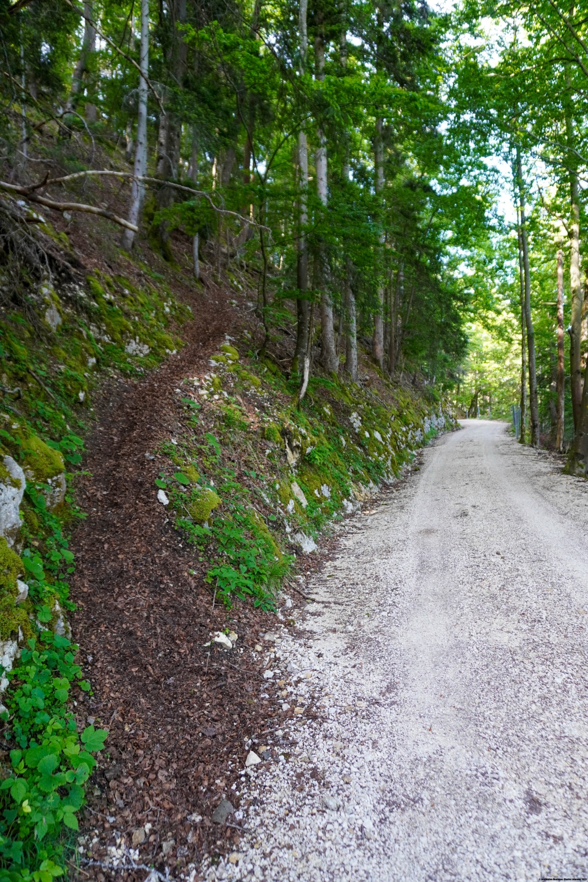
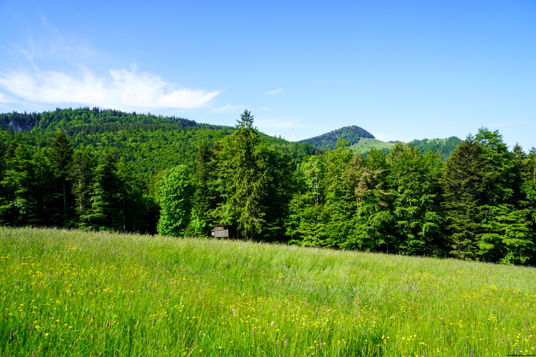
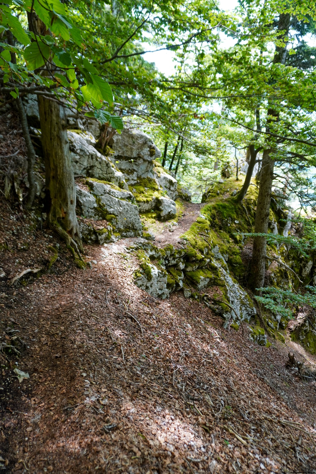
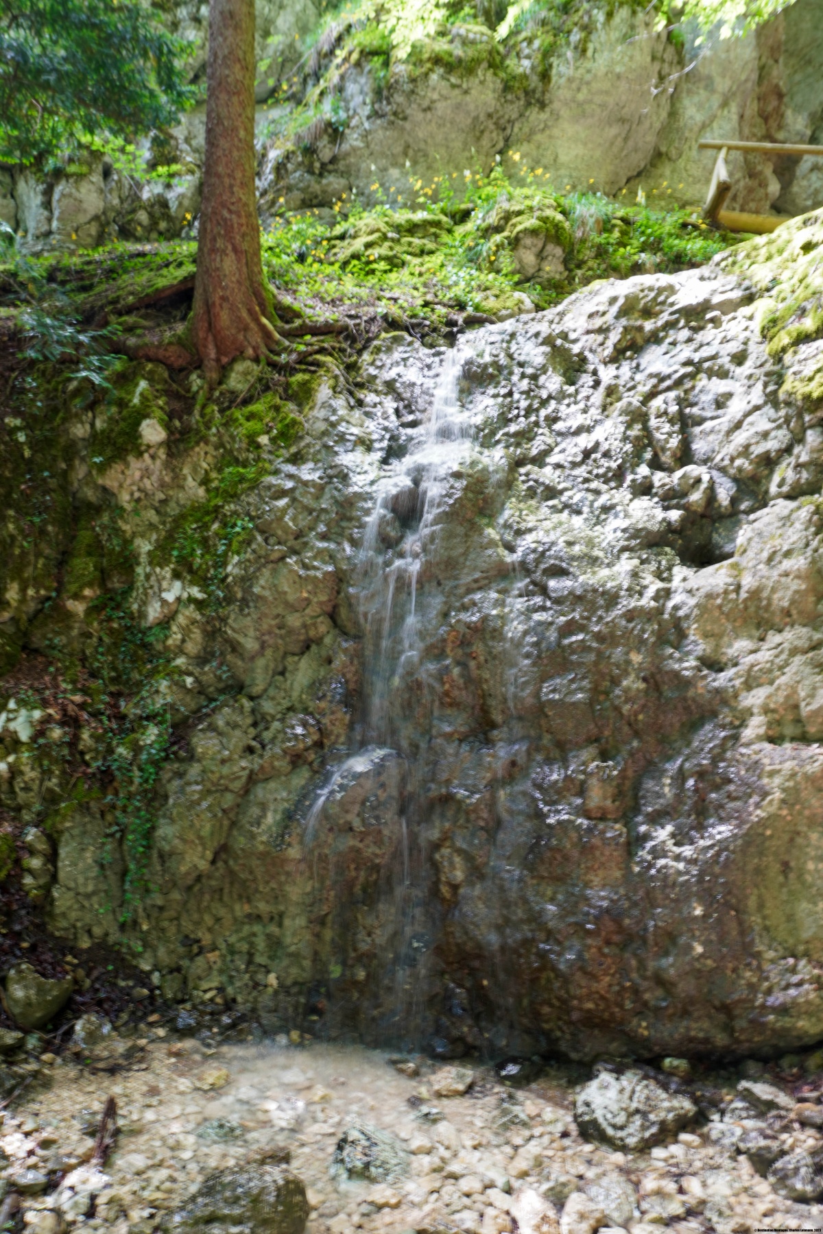
Von Nesselboden aus folgten wir dem Pfad, der auf der Karte als markiert ausgewiesen ist. In Wirklichkeit ist diese Angabe falsch und der markierte Pfad führt auf dem Waldweg ein Stück höher entlang. Nachdem wir den Grat des Balmfluechöpfliis umgangen waren, stiessen wir auf den Anfang des Clubwägli, der durch zwei grosse Steinmänner markiert ist. Der Pfad führt steil bergab und beschreibt dabei einige Kehren, um Felswände zu umgehen. Obwohl der Pfad nicht offiziell markiert ist, findet man Rote Markierungen und besonders, an Stellen wo man sich nicht ganz sicher ist, wo es weitergeht. Am Ende des Pfades erreicht man den Fuss der Felswand und folgt dem kleinen Bach Chesselbach durch eine merkwürdige Schlucht. Auch ich würde das Clubwägli als T4 einstufen, wobei ich anmerken möchte, dass es nur wenig beständig ist. Tatsächlich sind nur zwei kurze Stellen die Hände zum Fortschreiten erforderlich.
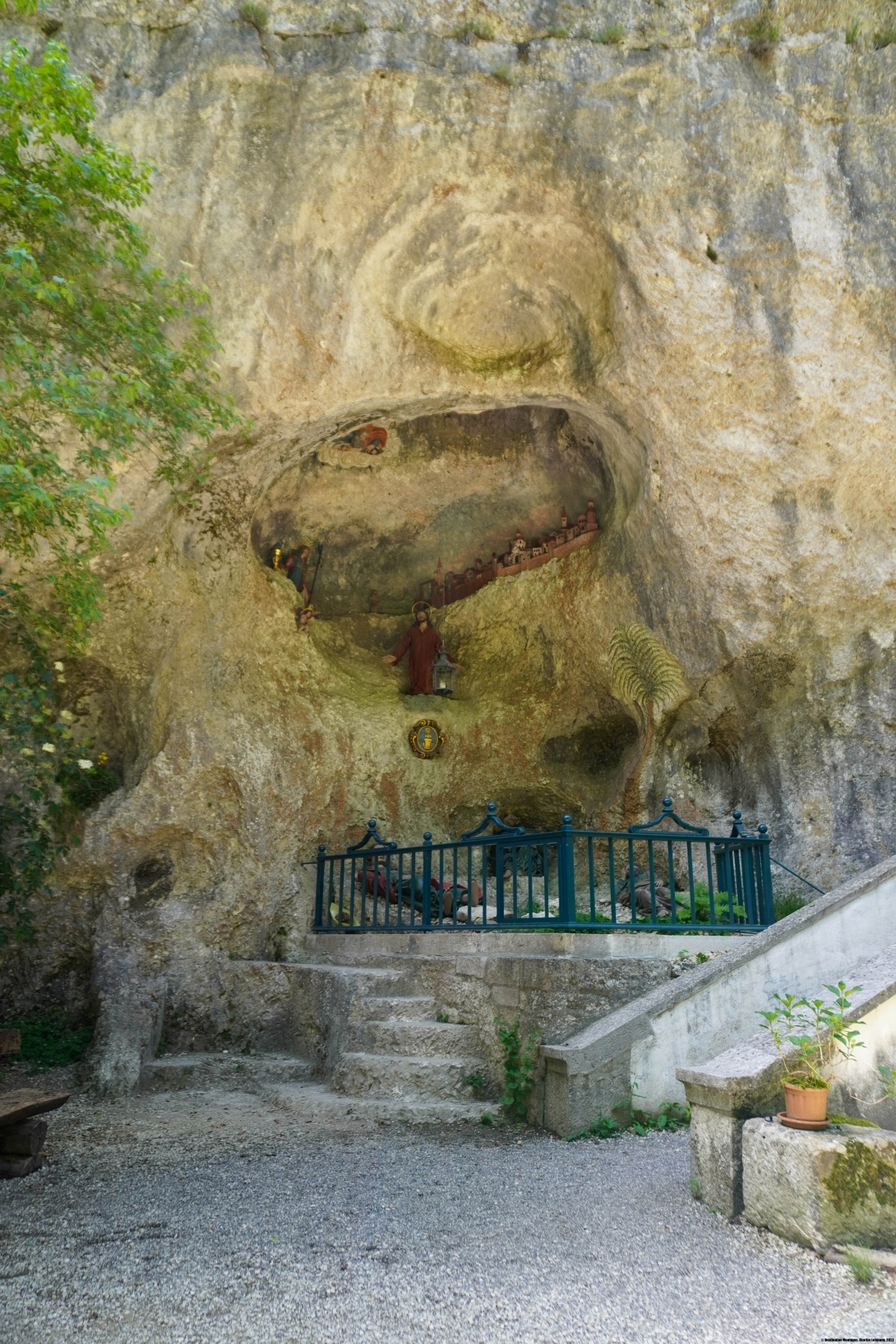
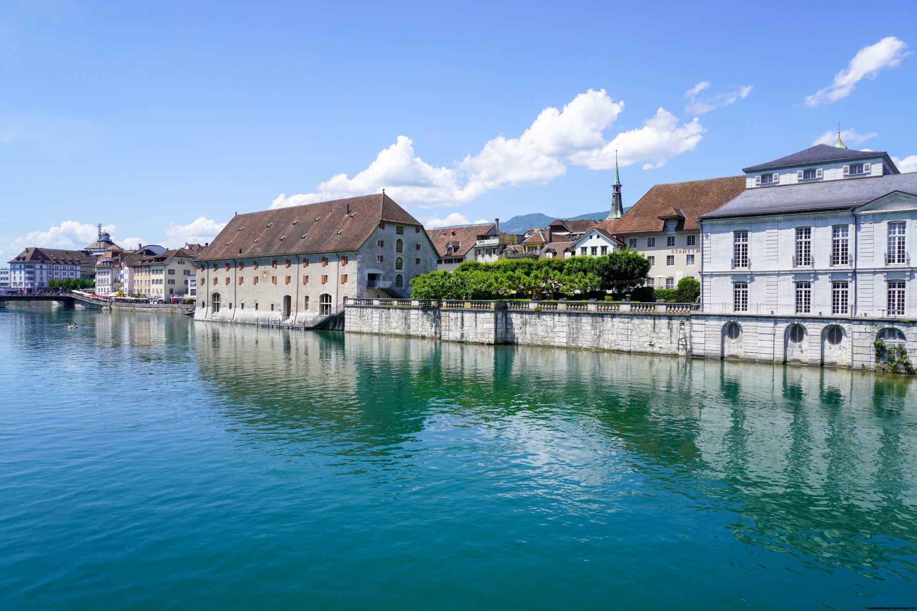
Route: Gänsbrunnen – Hinterweissenstein – Nidleloch – Hammerweg – Vorderweissenstein – Nesselboden – Clubwägli – Rüttenen – Einsiedelei Verena – Solothurn
Distanz: 15,7km
Höhendifferenz: 700m Aufstieg / 990m Abstieg
Dauer: 5h30

 Previous Post
 Next Post