Der Trans Swiss Trail ist der Fernwanderweg, der im Nordwesten der Schweiz, genauer gesagt in Porrentruy, beginnt und das Land von Nord nach Süd durchquert und in Mendrisio, nahe der Grenze zu Italien, endet. Er überquert den Gotthard, nachdem er den Jura, die Schweizer Hochebene und das Emmental durchquert hat. In seinem Tessiner Teilstück verläuft er entlang der Hänge des Flusses Ticino, bevor er in den Sottoceneri mündet.
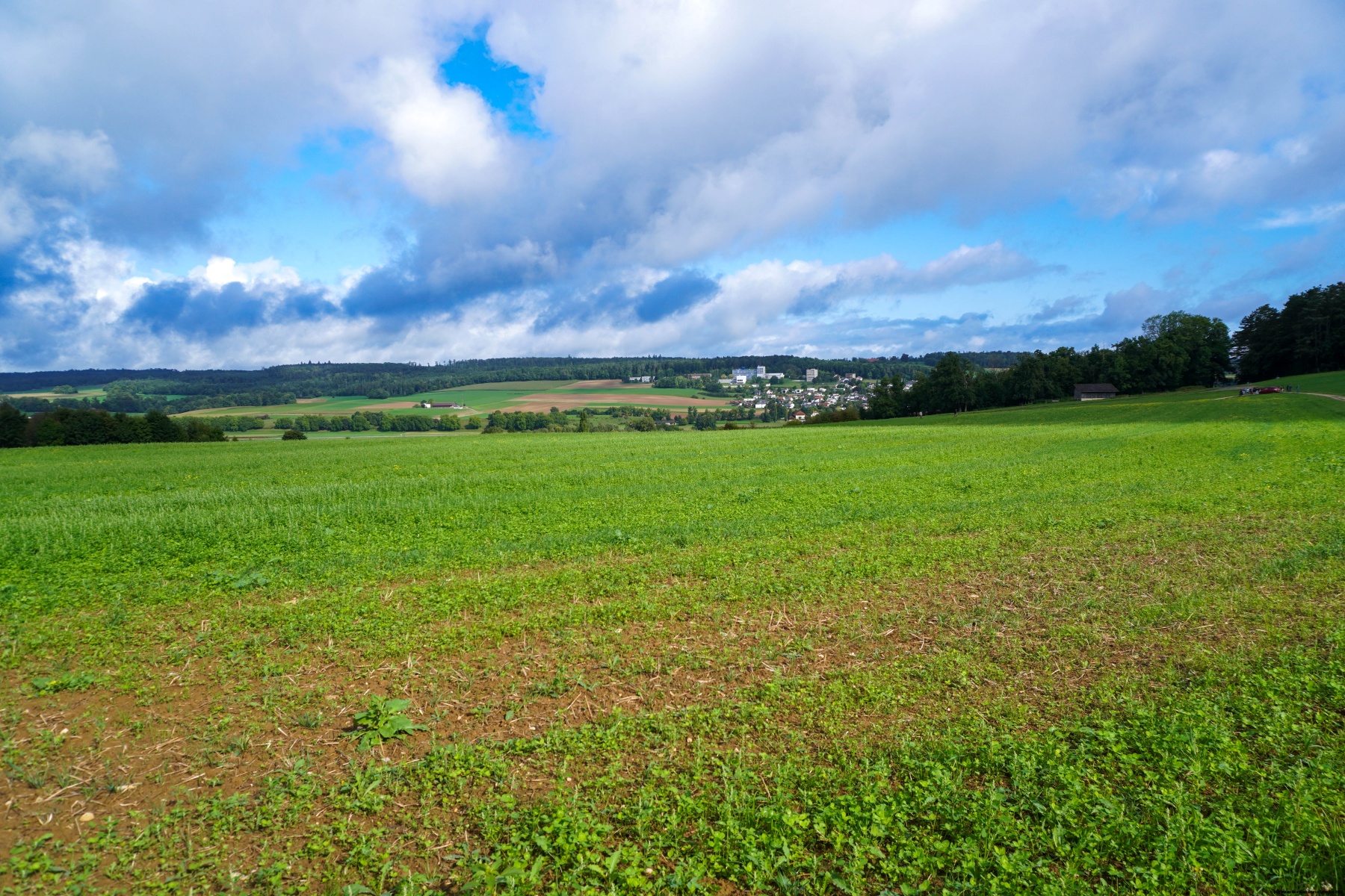
Wir sind von Porrentruy aus gestartet, nachdem ein paar leichte Regenschauer unseren Start verzögert hatten. Die erste Etappe des Weges, der vom Bahnhof aus beginnt, führt durch die hübsche Kleinstadt Porrentruy, dann durch Felder und Wälder und weiter auf den Kamm der Chainions.
Von dort aus folgt man noch ein Stück des Kamms, von dem man den Doubs hier und da erkennen kann, bevor man in Richtung des Flusses absteigt und ihn in St-Ursanne erreicht. Es lohnt sich, in der kleinen mittelalterlichen Stadt (die ziemlich touristisch ist) einen Spaziergang zu machen. Vergessen Sie nicht, dass man für den Bahnhof zu erreichen einen kleinen Anstieg bewältigen muss, um zur Bahnlinie zu gelangen.
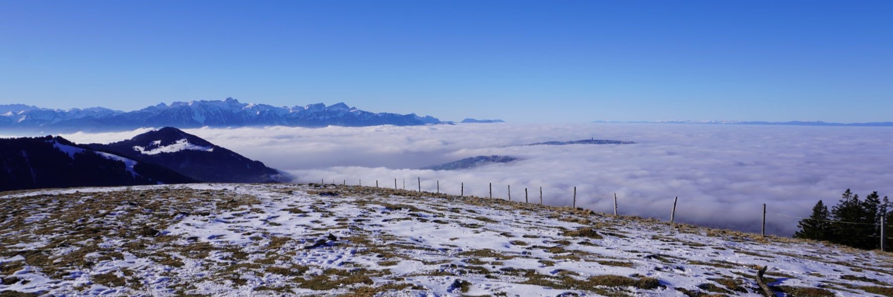
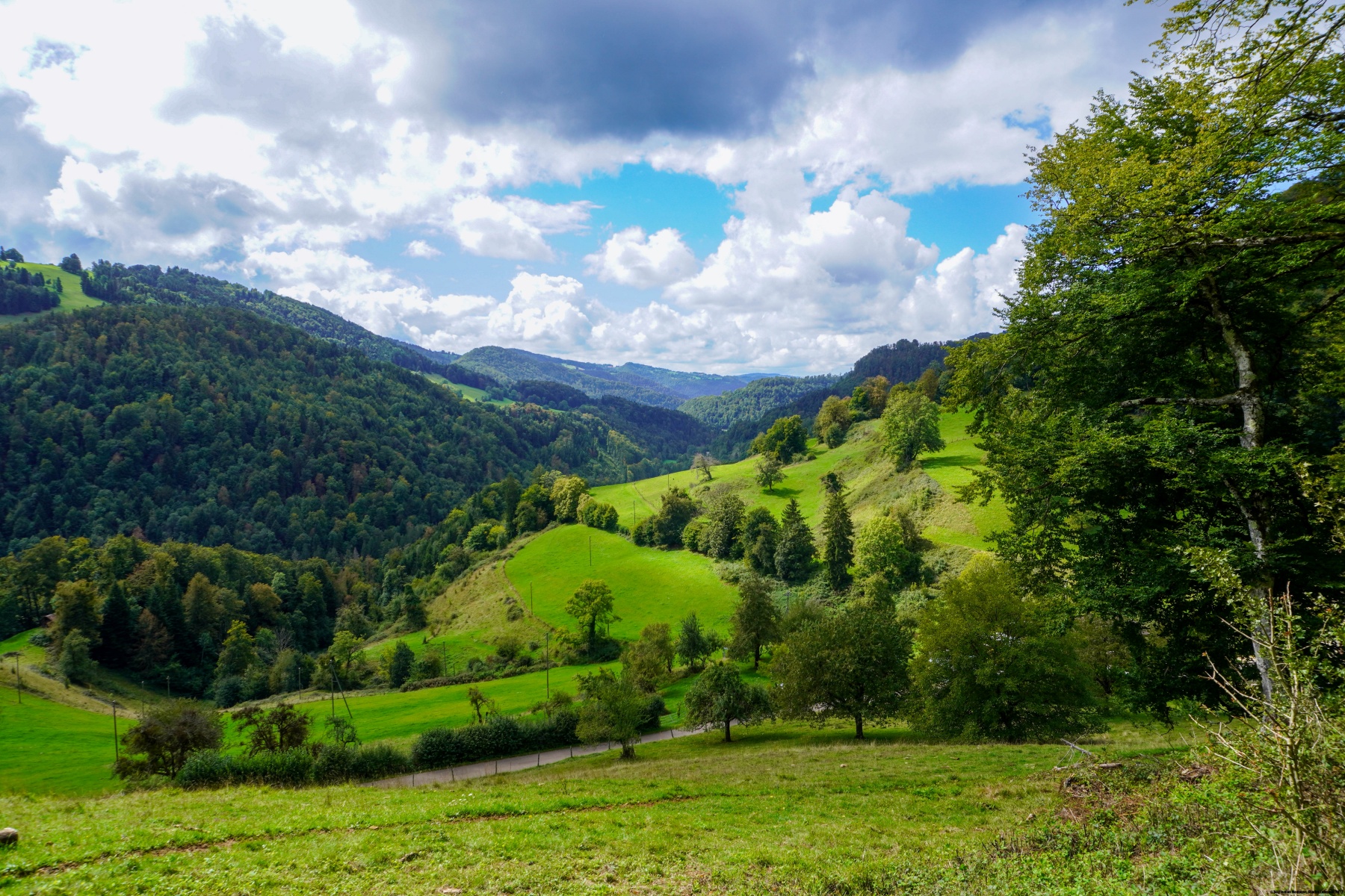
Diese Etappe ist nicht sehr interessant, da es nur wenige Aussichtspunkte gibt. Man wandert nämlich sehr oft durch den Wald oder am Waldrand entlang. Nur in der Gegend von Porrentruy und St-Ursanne ist es interessant.
Route: Porrentruy – Champs Graitoux – Les Chainions – Seleute – Oisonfontaine – St-Ursanne (Bahnhof) Distanz: 17.8 km Höhenunterschied: 660 m Dauer: 5h30

 Previous Post
 Next Post