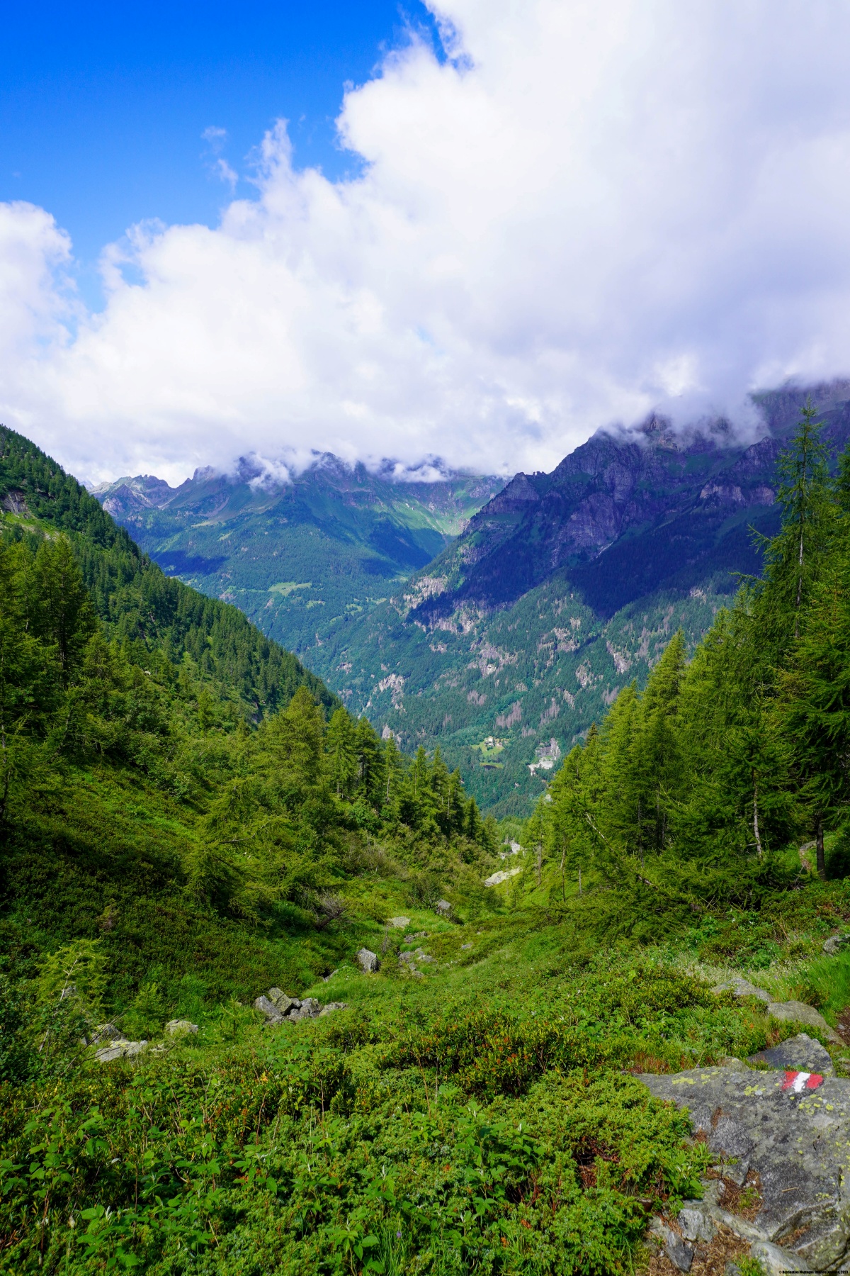
Dieser Tag war ein wichtiger Meilenstein auf unserer Wanderung vom Rhone- zum Maggiatal: die Überquerung der Hendar Furggu. Doch bevor wir mit dem Aufstieg zum Pass begannen, folgten wir dem Pomat-Tal entlang einer kleinen, geteerten Strasse, die zum Glück wenig befahren war. Wir folgten sie bis nach Stafelwald, oder Fondovalle. Dort beginnt das Ernsthafte. Denn der Wanderweg steigt fast ohne Unterbrechung bis in die Nähe des Passes auf.
Wir begannen mit einem Aufstieg durch den Wald, wobei wir einige Bäche überquerten. Erst bei der Alpe Stavello (Alp Stafel auf alten Karten) erreichten wir die Weiden. An der Alpe Stavello steht ein Hirtenhaus. War es dort, dass unsere Protagonisten eine Flasche vor dem Haus sahen? Sie hielten die Flasche für eine Weinflasche, die sich dann als Nikotin für die Schafe herausstellte.
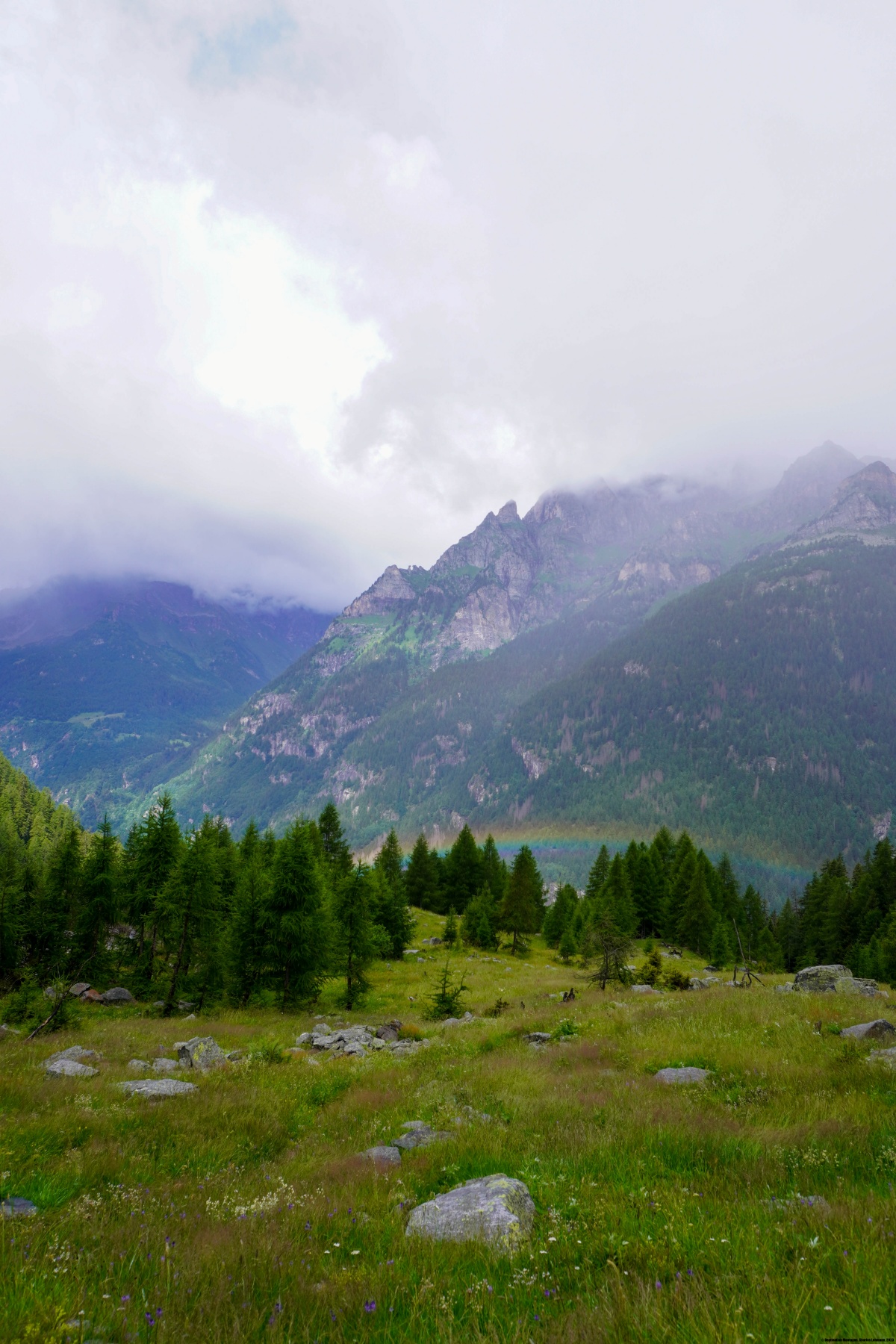
Nachdem wir das Weidegebiet passiert hatten, stiegen wir in einen steilen Lärchenwald, wo der Wanderweg sich durch Alpenrosen-Stöcke bahnt. Dieser Abschnitt ist sehr steil und führt zu einem weniger steilen Gebiet, wo ein Wanderweg abzweigt, der über die Guriner Furggu zur Grossalp führt. Wir setzten jedoch unseren Aufstieg in Richtung Hendar Furggu fort.
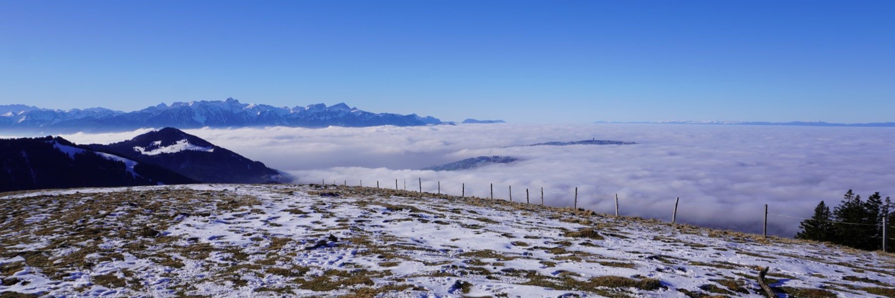
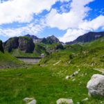
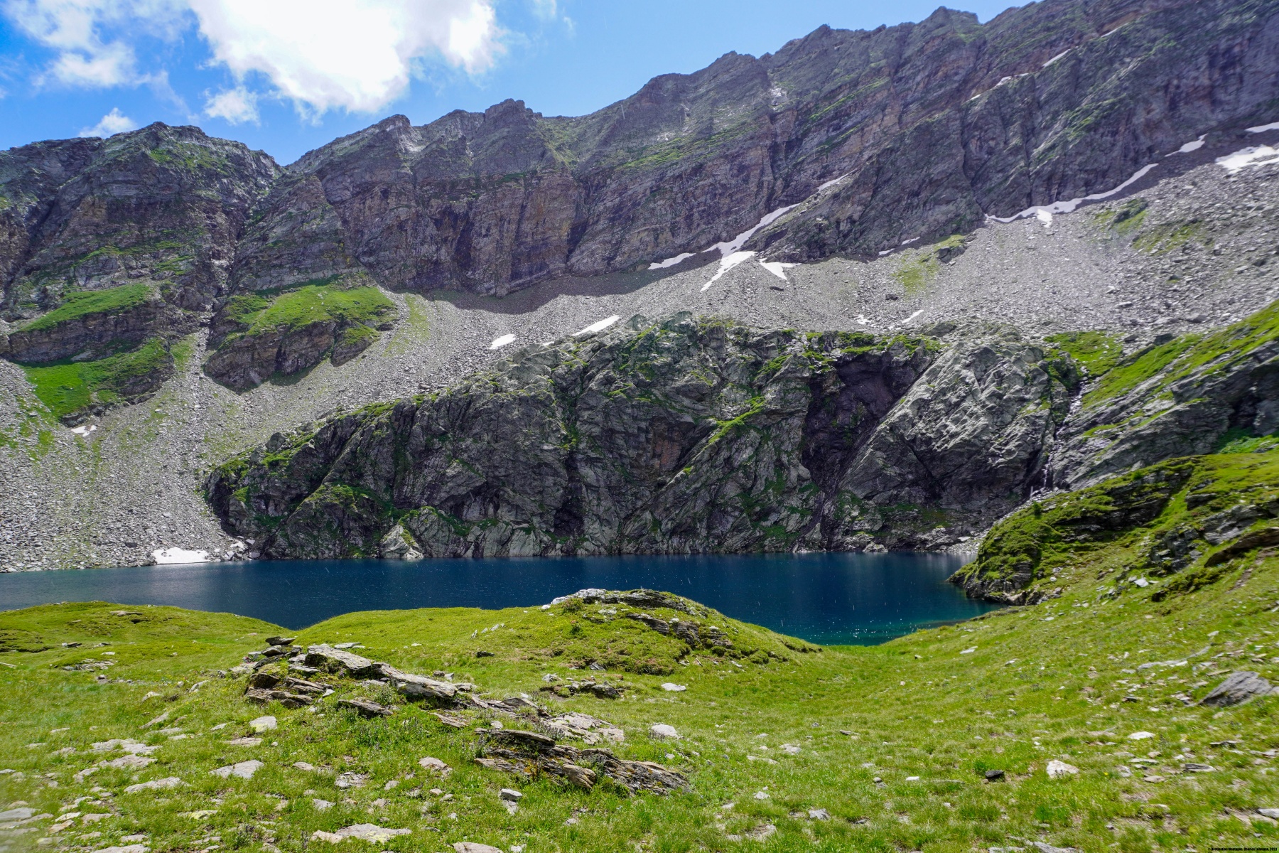
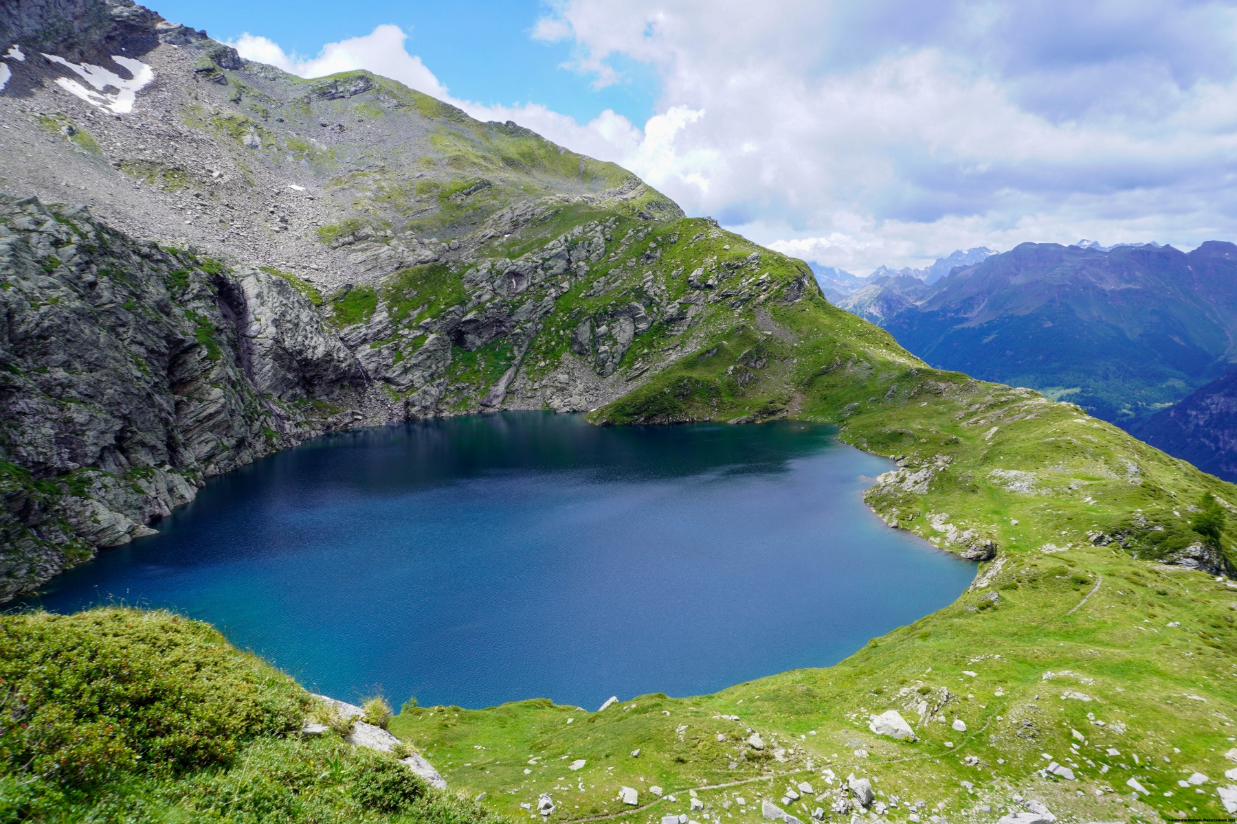
Durch eine Schleife, die über einer Art Band führt, gelangt man zum Lago Superiore, einem wunderschönen Bergsee mit schwarzem Wasser. Corina Bille glaubt, im Gurin-Museum gelesen zu haben, dass der See Chälisee heisse. Auf alten Karten ist er als Obersee bezeichnet, was der italienischen Bezeichnung entspricht. Als ich das letzte Mal zum Hendar Furggu aufstieg, ging es direkt in der Schlucht hinauf. Der neue Weg ist viel angenehmer.
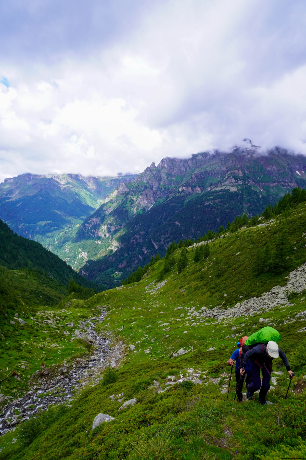
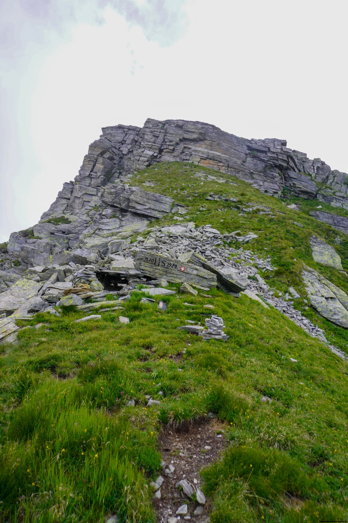
Nach dem See geht es noch sehr steil auf eine Art Schulter hinauf und die in ein kleines Tal mit grossen Felsblöcken leitet. Man muss diese Blöcke möglichst gut umgehen, um zum Pass zu gelangen. Auf der Tessiner Seite gibt es ebenfalls Felsblöcke, die aber etwas kleiner sind und leichter zu queren sind als auf der italienischen Seite.
Der Abstieg nach Gurin führt jetzt, anders als Corina Bille es erlebt hatte, über gut markierte Wanderwege, auch wenn die Unwetter von 2024 einige kleine Brücken beschädigt haben.
Route: Wald (Pomat) – San Michele – Stafelwald – Alpe Stavello – Lago Superiore – Hendar Furggu – Bann – Gurin
Distanz: 12,6Km
Höhenunterschied: 1240m
Dauer: 6h30

 Previous Post
 Next Post