
If staying in La Chaux-de-Fonds one wants to have a view of the plain and the Alps, it is worth climbing the Jura ridge stretching from Mont d’Amin to Mont Racine. For that, there are several possibilities. One can certainly go by bus or car to the Col de la Vue des Alpes. However, it is also possible to hike there starting from La Chaux-de-Fonds. This would require an additional 2 hours of walking to get to the pass.
Departing from La Chaux-de-Fonds, one starts by leaving the town by reaching the woods of the Couvent, which is where the campsite is located as well as the Vita fitness trail. From these woods, one descends a little to reach the Grandes Crosettes (formerly called the Creux du Seret). From this vale, one starts by climbing to Reymond, while having passed near the homonymous train stop. Once past the hill, one reaches the houses of Maison Rouge and Boinod. After crossing the Col de la Vue des Alpes road, one climbs quite steeply and painfully through the woods to reach a small pass near La Motte. The fact of having installed granite steps on this path was well intentioned, but the climb quickly becomes tiresome. Further on, one follows a forest path still alongside the road to the pass, a path that soon diverges from the road to cross two valleys shortly before the Vue des Alpes.
The entire section between the Creux du Seret and La Vue des Alpes is listed in the inventory of historic routes of Switzerland. In places, the path is lined with trees, which attests of its historical importance. This section is also followed by the Revolutionary Trail. This trail commemorates the revolution of February 29/March 1, 1848. Indeed, although Neuchâtel was part of the confederation in 1814, it remained the property of the King of Prussia. This situation became intolerable, especially following the abdication of King Louis-Philippe of France. The revolution, which began in Le Locle, then spread to the whole canton following the march of the Republicans on the castle of Neuchâtel. On the evening of March 1, the capture of the castle allowed the beginning of the establishment of a republic. The march is commemorated every year for 39 years and is part of the intangible cultural heritage of UNESCO.
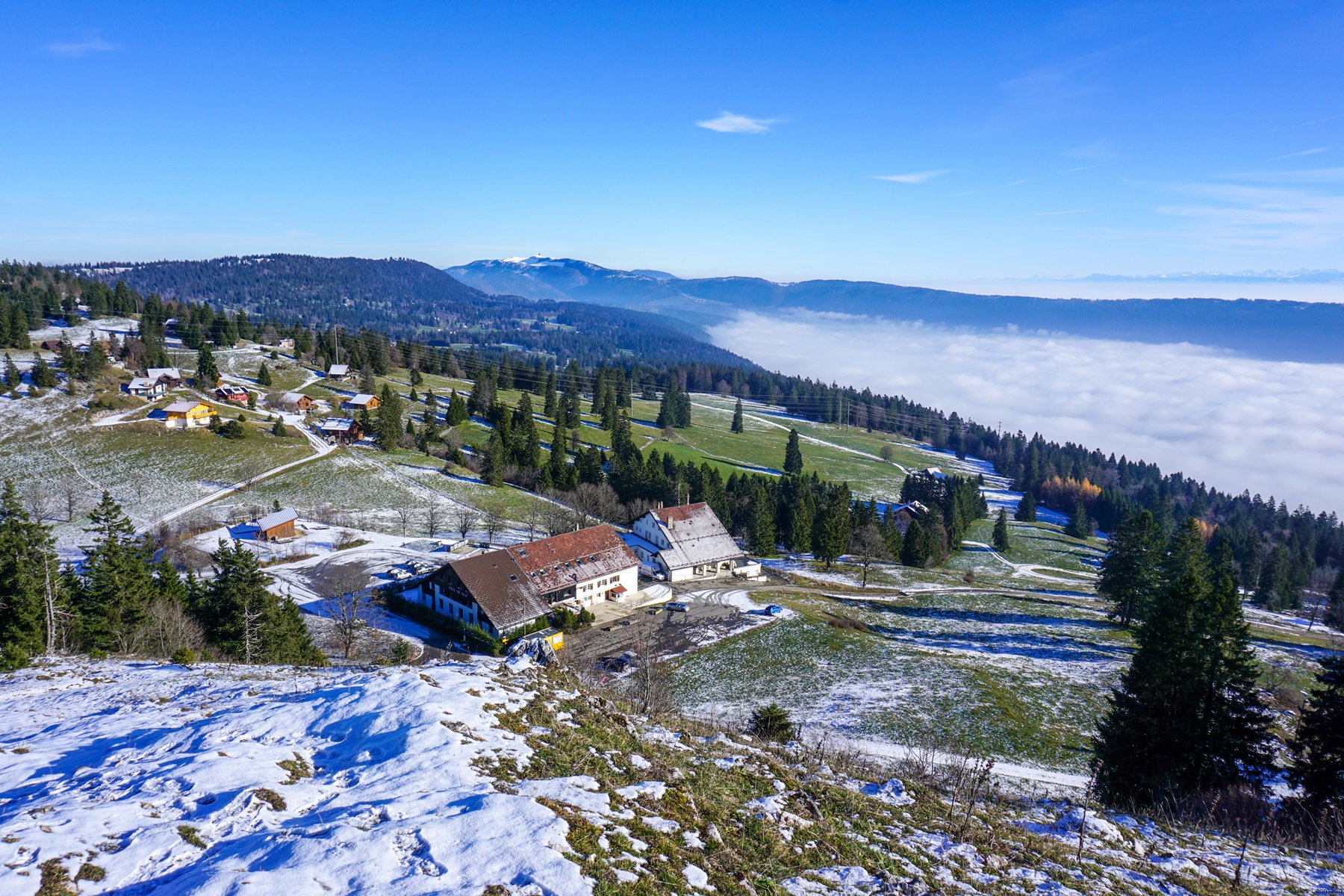
From the Col de la Vue des Alpes, one follows the ridge continuing towards the Tête de Ran. Even though one is on the ridge, the points of view are non-existent. It sufficient to lookup the topographic map to see that the openings do not exist. It is only when approaching the Tête de Ran that the view really emerges.
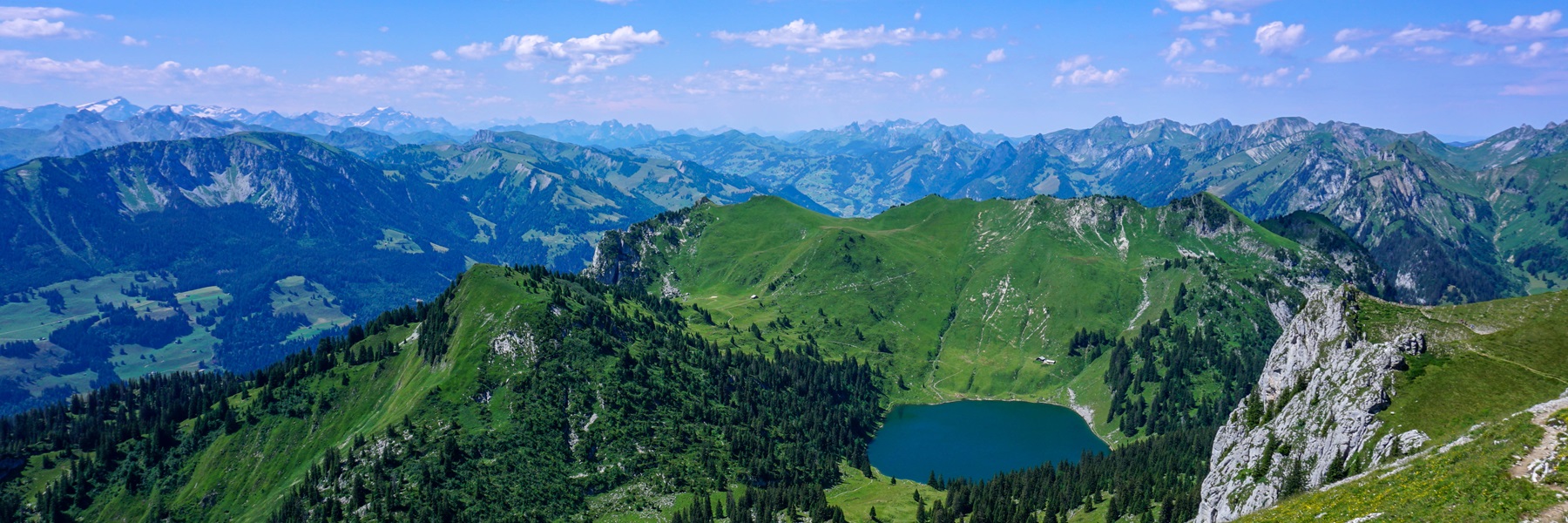
From the Tête de Ran hotel, one climbs some 100m of altitude to reach the homonymous summit. This is where one can really enjoy a panoramic view. On one side, one can see part of the city of La Chaux-de-Fonds and in particular, the district of Bel-Air and Les Arêtes. On the other side, it is the Swiss plateau and the Alps that present themselves to one.
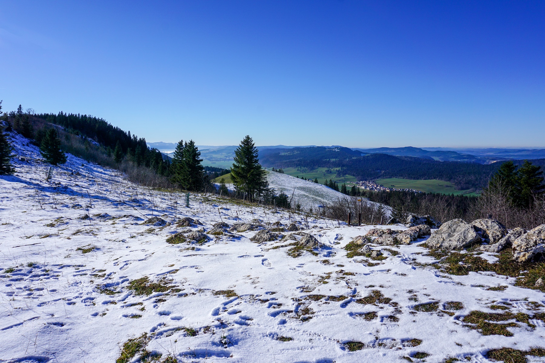
The continuation, from the Tête de Ran, is identical to the hike leading to Mont Racine. One goes down a little to go up in a forest that one will leave a little further. As soon as one leaves the forest near Pouet-Carre, the view becomes very wide again and one can contemplate the entire chain of the Alps from Glärnisch to the Aravis.
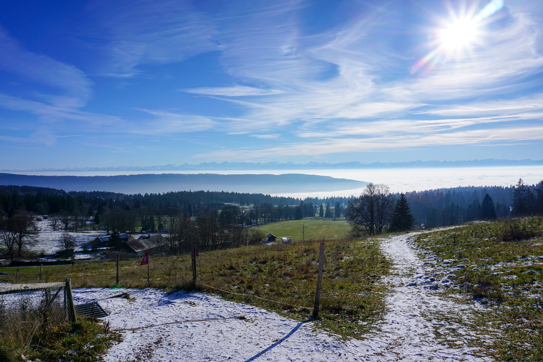
After going down to the Loges de Pradières-Dessus (refreshment stand open on summer and winter weekends), one can follow the road leading to the large buildings of Pradières (a cantonment for the army). As one descends along the road, the view is obscured by trees. It does not take long then to begin the descent towards Geneveys-sur-Coffrane. Some sections of this descent are steep, and one must be careful, especially at the end of the season.
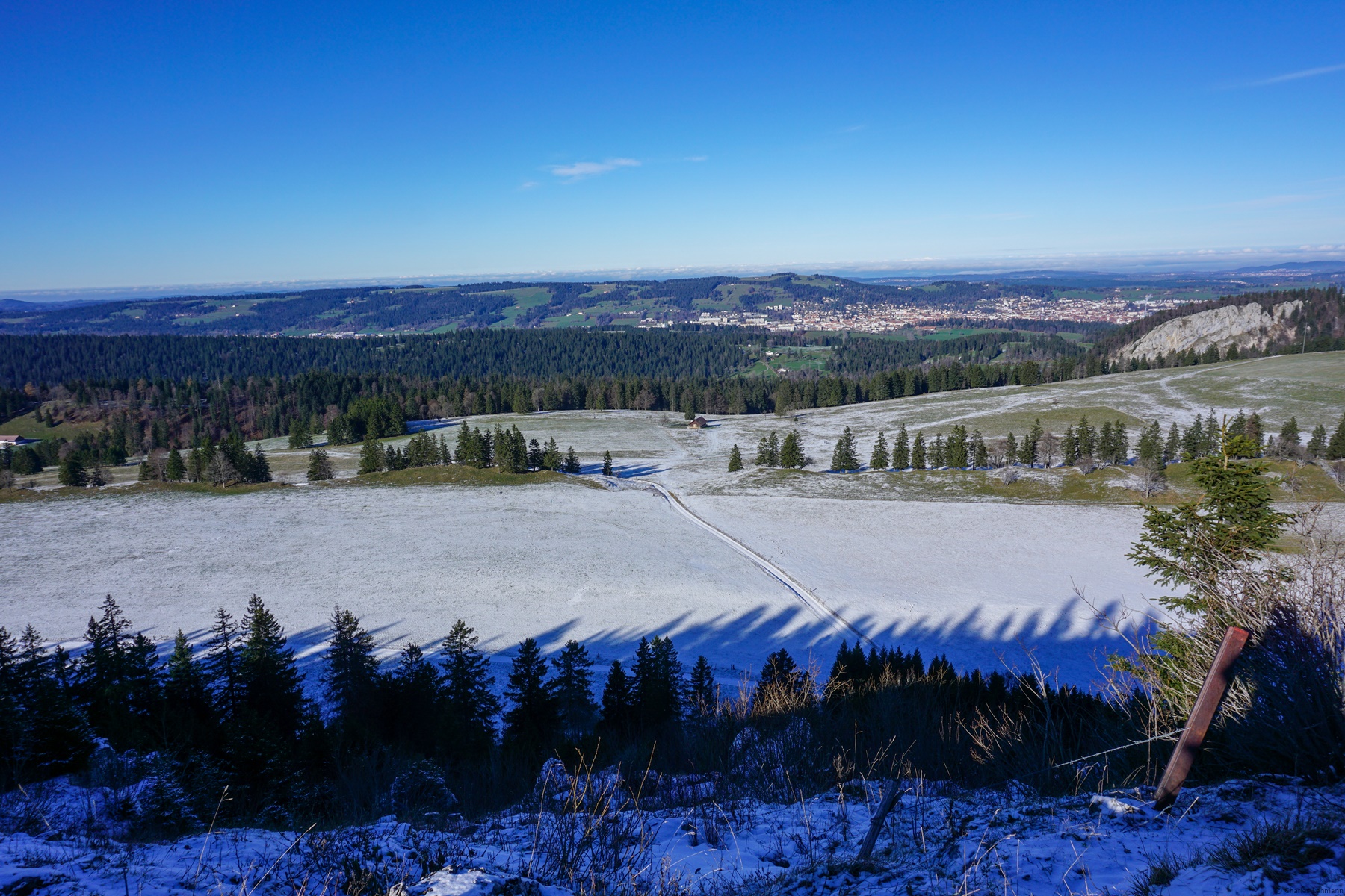
The descent through the forest then allows one to reach the first housing estates of Genevey-sur-Coffrane and one then just must cross the village to reach the station. However, make no mistake about it: even if going down from Les Pradières one comes directly onto the railway line, the station is some 200m below.
Itinerary: La Chaux-de-Fonds – Le Reymond – Maison Rouge – Col de la Vue des Alpes – Tête de Ran – Loge des Pradières-Dessus – Les Geneveys-sur-Coffrane
Distance: 18km
Altitude gain: 750m
Duration: 5h30
 Previous Post
 Next Post
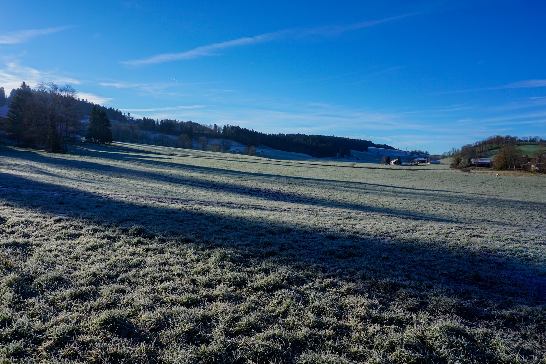