

I had made this trek a long time ago. At that time, I often travelled to Basel for professional reasons and found that when there was inversion over the Swiss Plateau, one often reached Moutier under a clear sky. However, I was a few years younger (15 years in reality) and wondered if it would still be possible. So, I followed in my footsteps of that day, albeit with a few changes. Back then, I had bypassed the top of the Graitery to the east before descending towards Court. Also, work on the Transjurane highway was far from being complete. Of course, the tunnel under the Graitery was drilled through, but not those heading towards Tavannes. On both the Moutier and Court sides, work on temporary routes had to be circumvented. Also, to cross the railway tracks entering Court, it was done at a level crossing. Today, for pedestrians, there is an under-track crossing.
Unfortunately, the day I tried to do the hike again, the weather had not really cleared up, despite the forecasts. I even got a few raindrops near Bettlachberg.
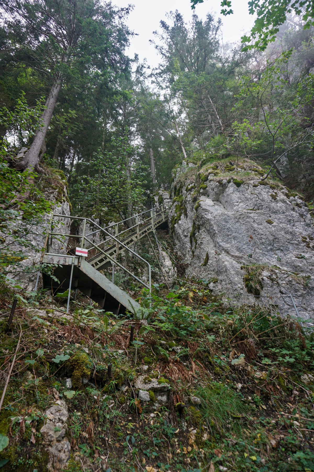
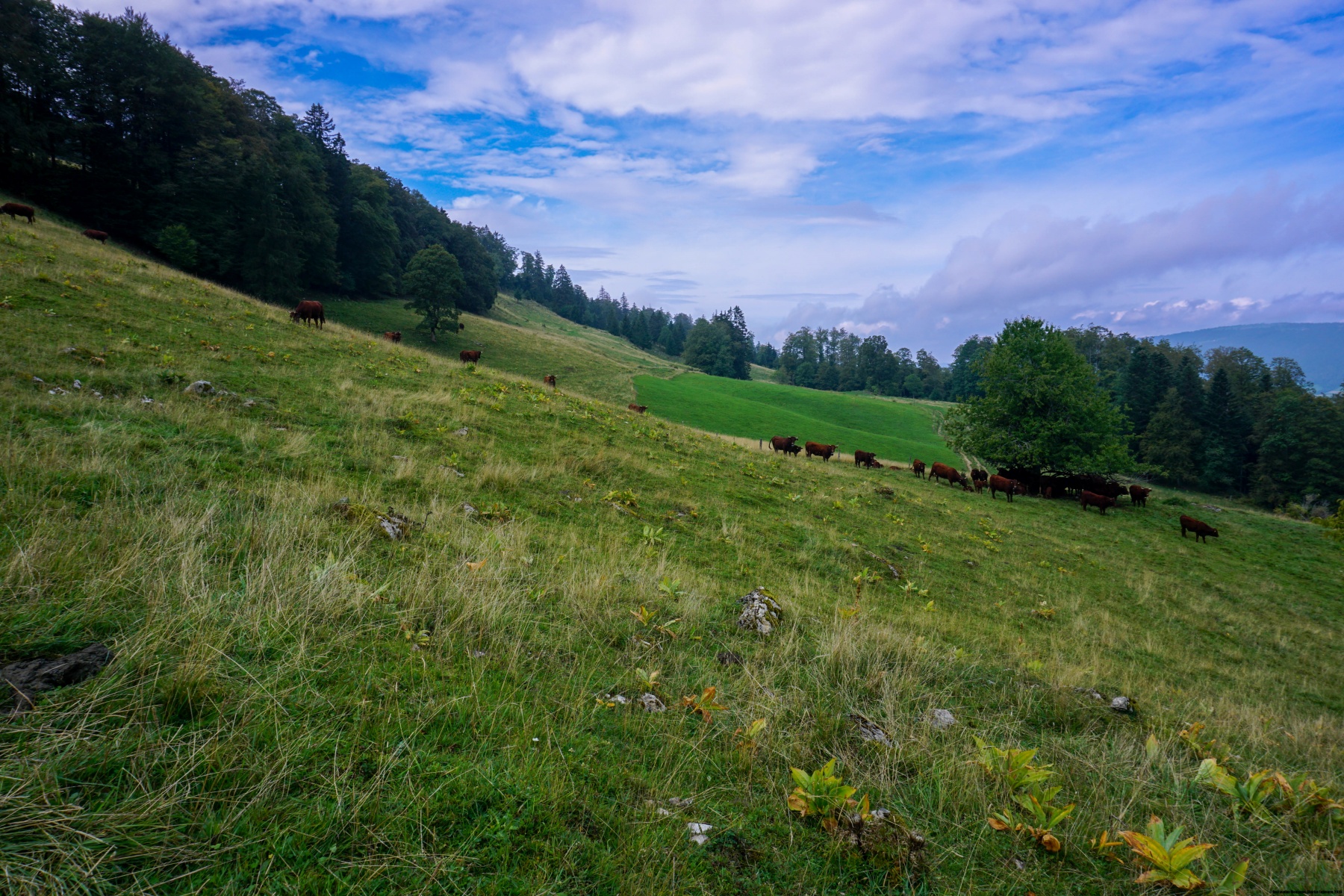
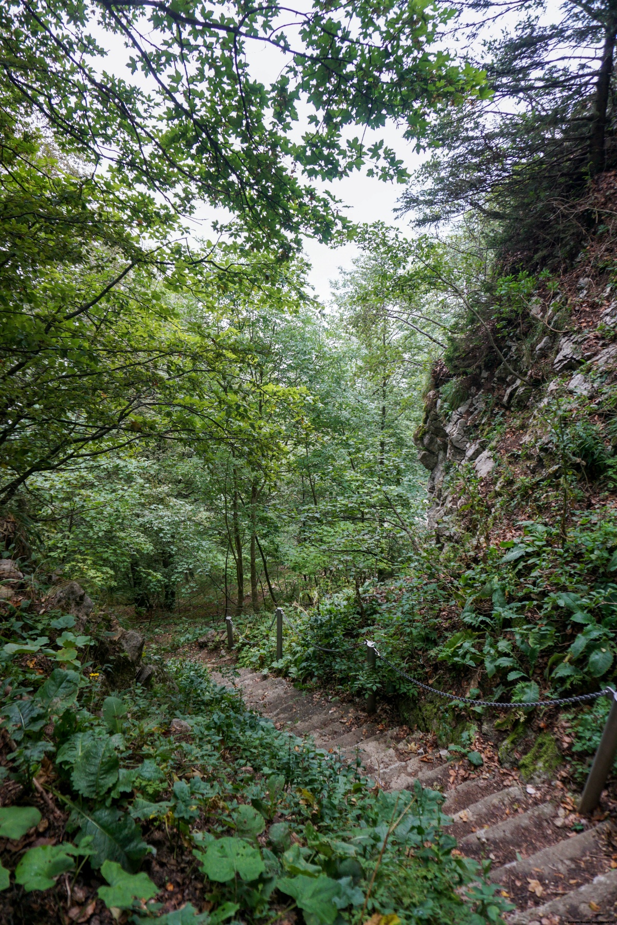
At the start of Moutier, you must climb towards the farm of Creux au Loup. The slope is quite steep at the start, so getting warmed up is not easy. As you climb, you wonder where the trail will pass. You do have a few sharp cuts and you might expect to have to climb one of them. In fact, you climb a short notch at the top of the slope. As you climb through the Forêt Communale de l’Envers, the slope becomes steeper and steeper as you progress. At the foot of the walls, the terrain becomes a bit more Alpine, and you must watch out for the rocks falling. The impact of the pebbles on the ground and on the trees is a reminder of this. Not far from the foot of the walls, you reach the Graitery Stairs, which are, after all, quite short. After the last stairs, the terrain and atmosphere change dramatically since one reaches the Graitery pastures.
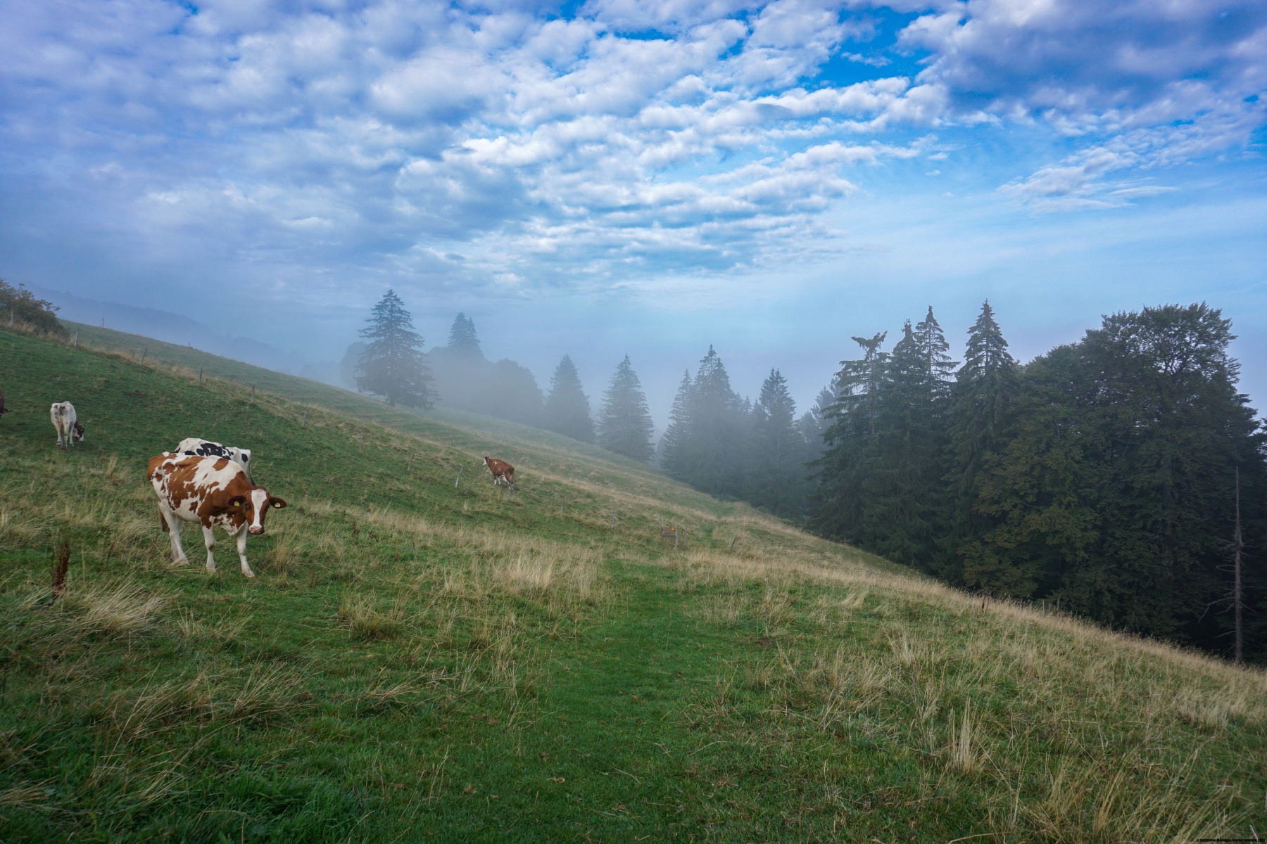
This time, I had bypassed the summit of the Graitery from the west to the inn of the same name. The descent towards Court is rather monotonous and offered no real views, except at the Ordons. Shortly after, one enters the forest again, leaving only above Chavannay.
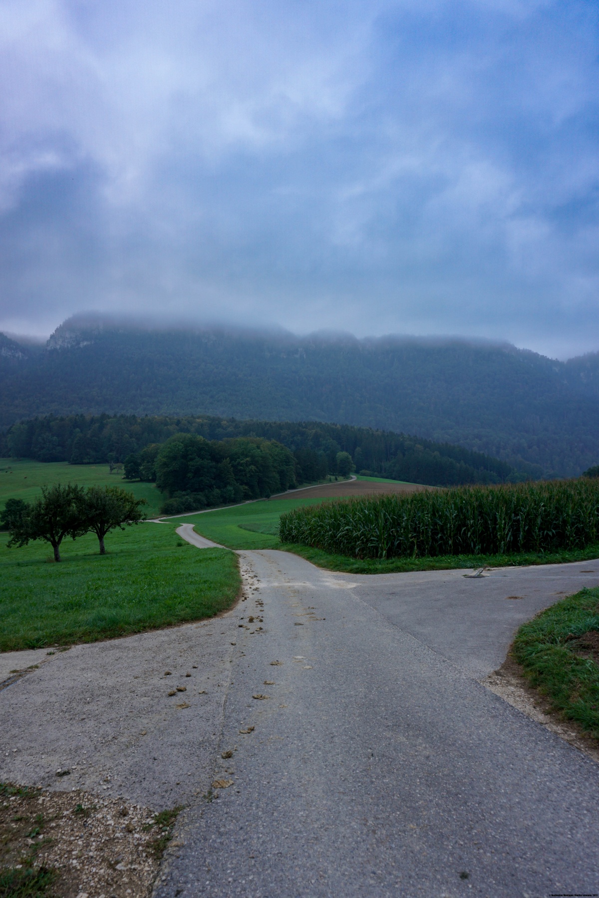
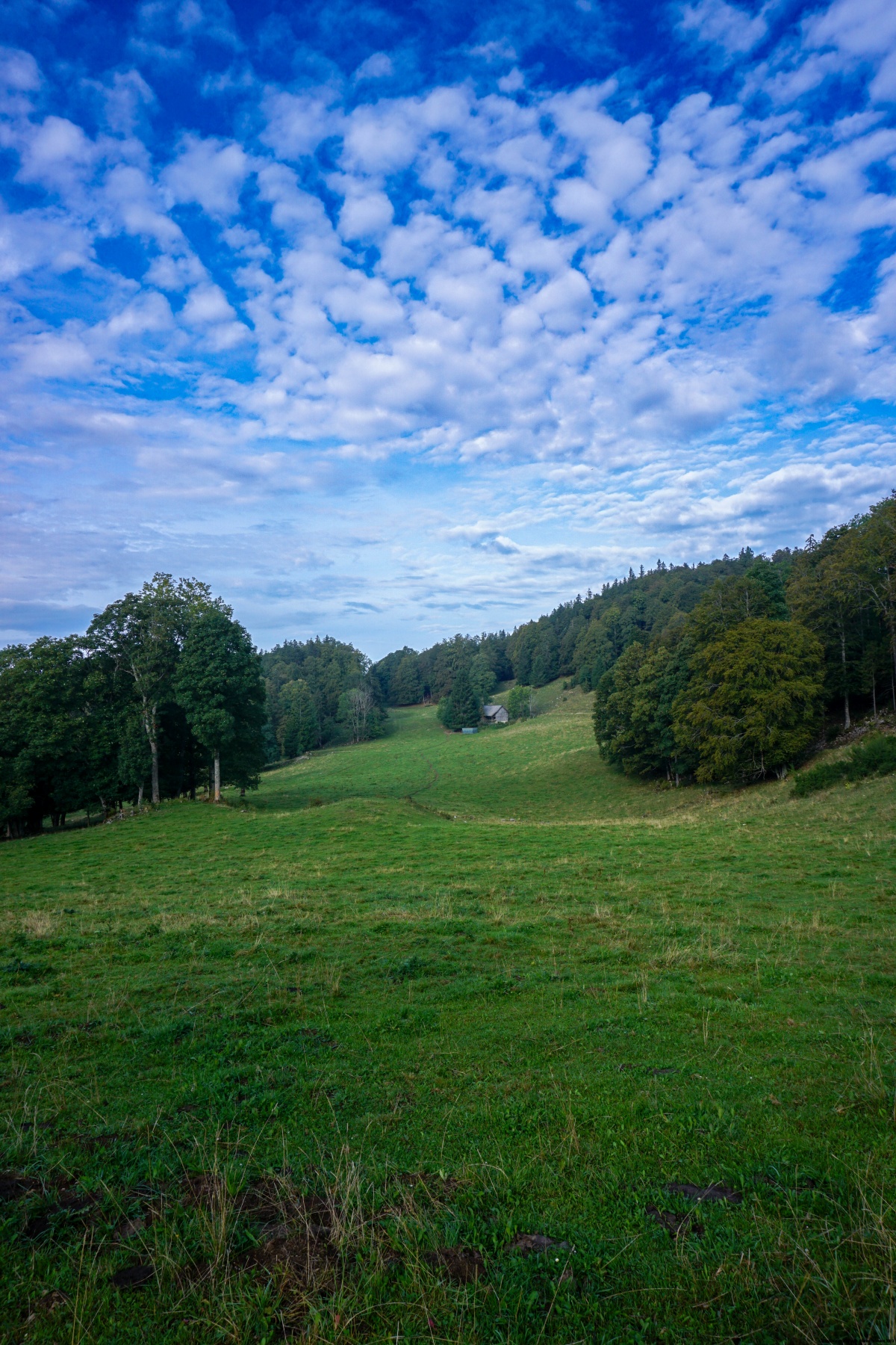
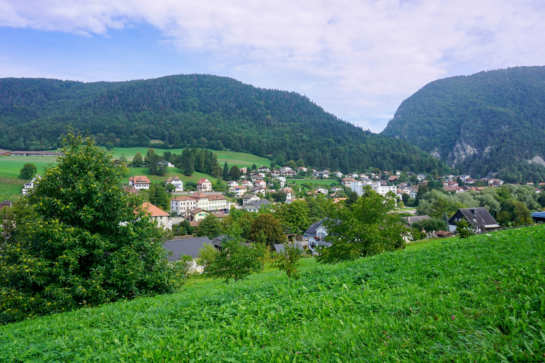
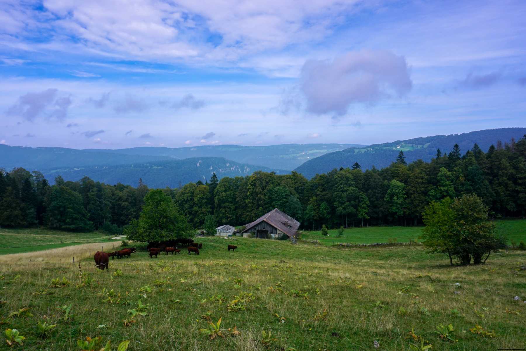
We then must cross Court where we follow, for a short section, the cantonal road. Near the station, we cross the Birse again before climbing quite steeply to Sous Pré Richard. Unfortunately, the entire climb was seriously damaged by the MTBs, despite the baffles put in place at each intersection. At Sous Pré Richard, you still must climb steeply through the pasture before reaching Auberge du Pré Richard. Afterwards, I followed the asphalt road from La Bluai to Obergrenchenberg. As it was a weekday, I did not worry too much and was not disturbed by traffic. In good weather and on weekends, it is best to follow the marked trail.
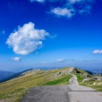
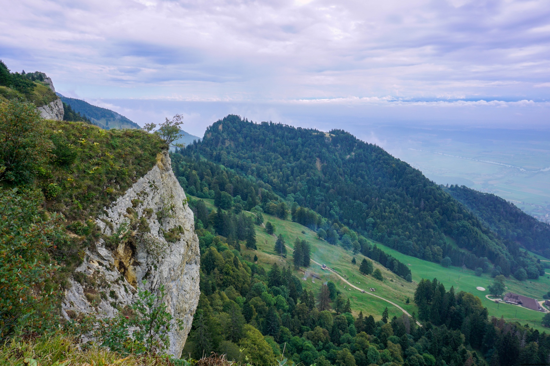
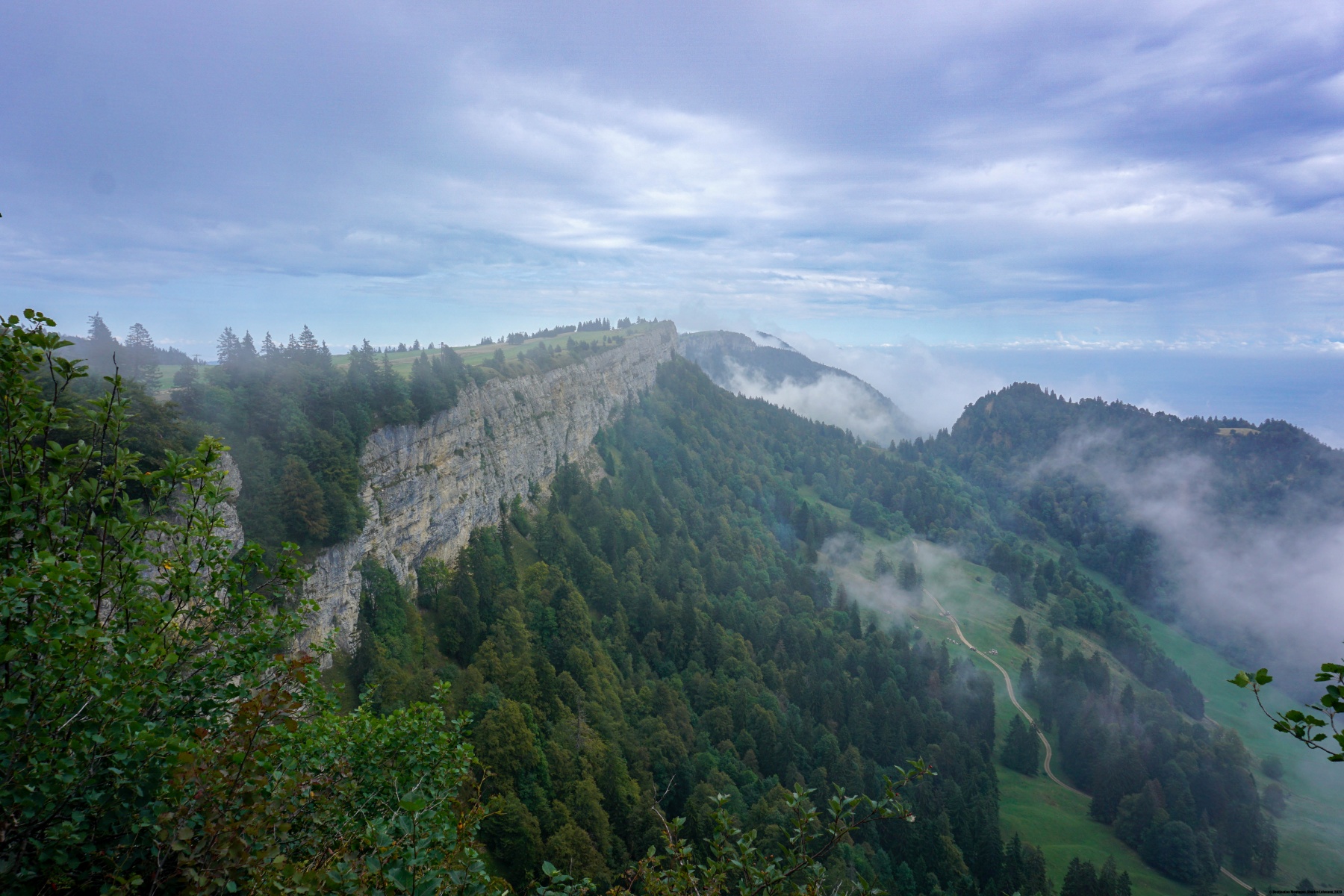
At Obergrenchenberg, you reach the edge of the Wandflue, a long rock face that can be seen from a very long distance. To descend directly to Grenchen, you can cross the rock face down the Ängloch. This short passage is like a joke because you can’t imagine that it’s going to be so easy to descend down there. A few stairs and a hairpin, and you are in the forest at the foot of the walls. Further down, pass Bettlachberg, another inn in the area, and follow the steep access road for a while before diving through the woods below the ruins of the Granges Castle. As you go down, the slope becomes less steep, and it is not long before you cross the residential areas. At Granges there are two stations to choose from, and it is sometimes worth checking the timetable carefully, as they are at an equivalent distance from the residential area.
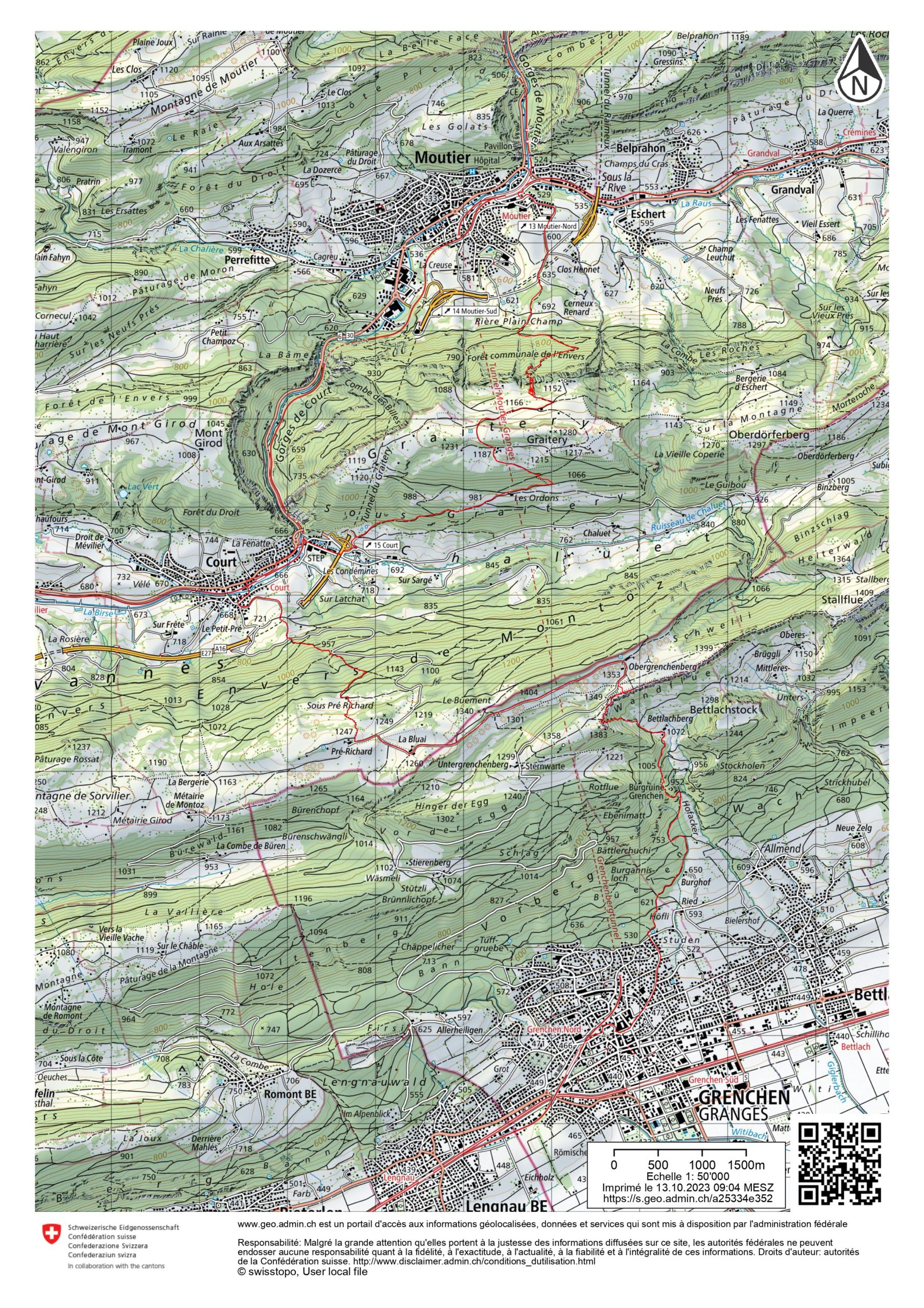
Route: Moutier – Sur Chaux – Graitery Stairs – Auberge du Graitery – Court – Sous Pré Richard – Pré Richard – La Bluai – Obergrenchenberg – Ängloch – Bettlachberg – Grenchen Nord
Distance: 25.5Km
Altitude gain: 1500m
Duration: 8h45
 Previous Post
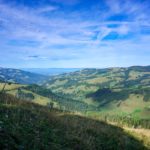 Next Post
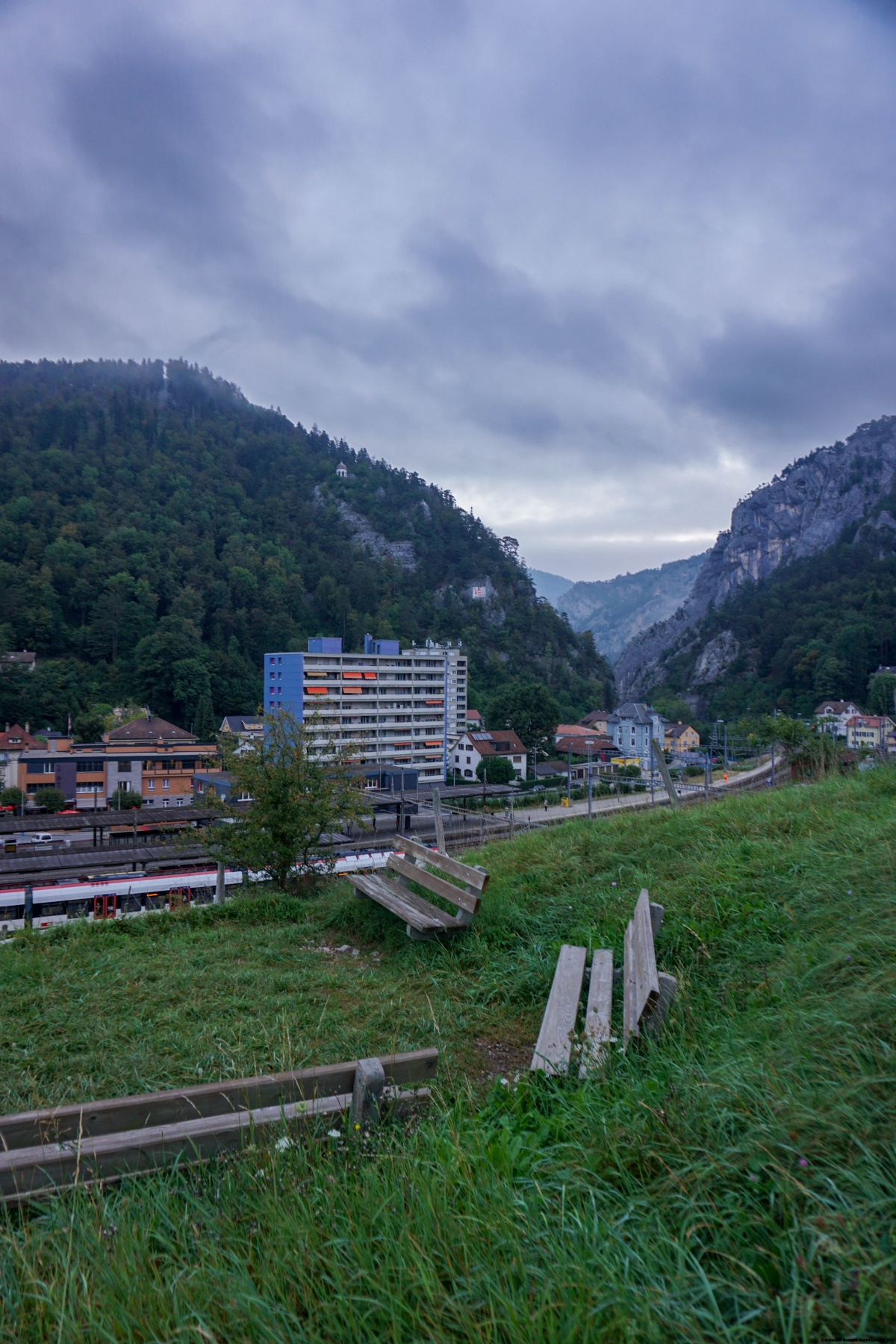