Among the destinations of the Neuchâtel mountains, one must mention the ridge between the Tête de Ran and Mont Racine. Indeed, this ridge, unlike the one found between the Vue des Alpes and the Tête de Ran, is very little covered with forest. One can therefore enjoy an unobstructed view onto the Alps.
To get near this ridge, it is worth leaving the main road just below the Vue des Alpes, to take a small road leading to the parking lot of the hotel de la Tête de Ran. The hotel having been closed for about ten years; one can park here without problems. On the other hand, even if, by doing so, one is already on the ridge, one should not underestimate the total altitude gain that one will have to overcome to reach Mont Racine. Indeed, the ridge has an uneven relief.
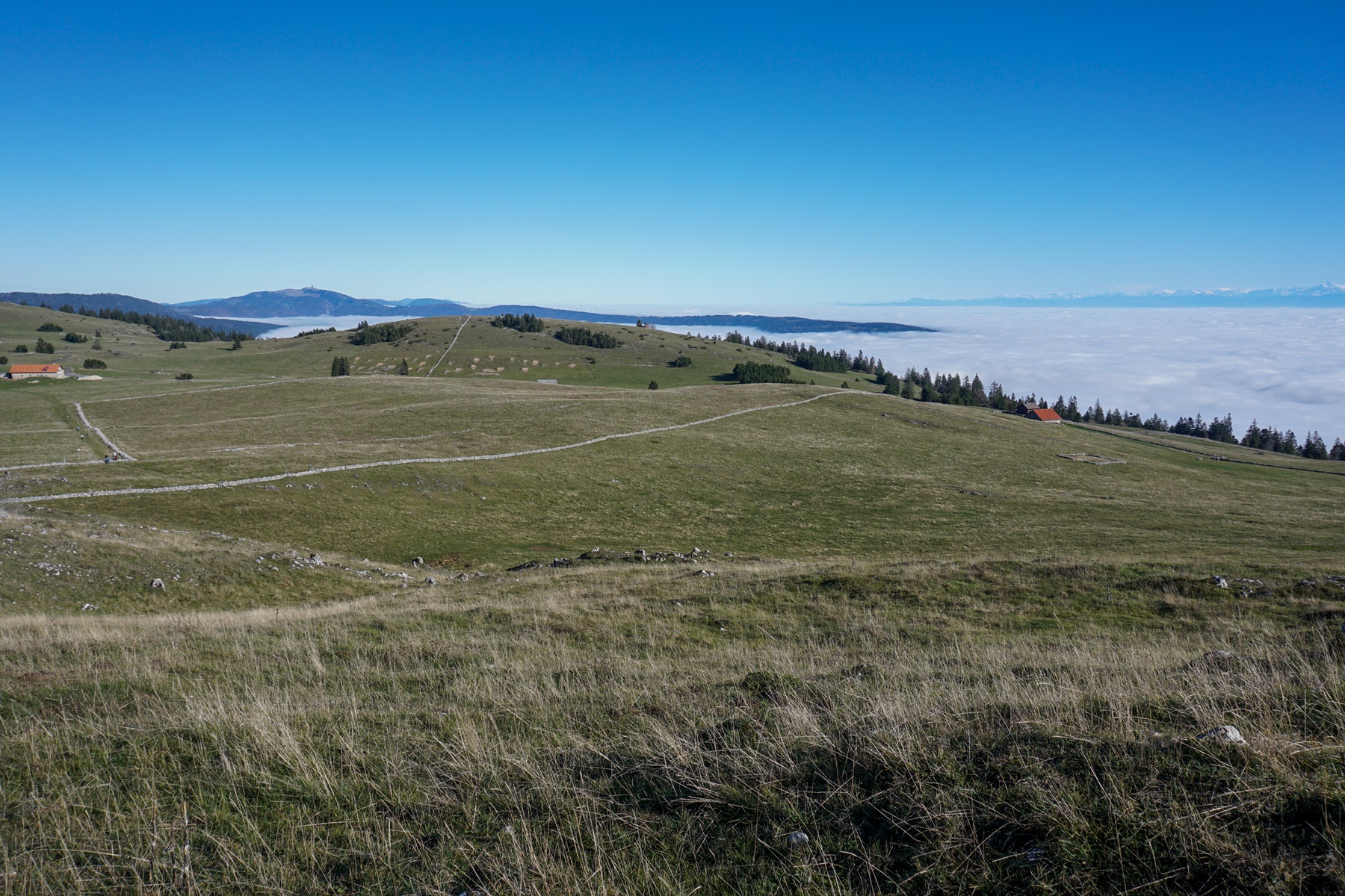
From the hotel car park, a steep first climb takes one to the top of the Tête de Ran. This is the real big uphill of the entire hike along the ridge (although, as mentioned, uphills followed by downhills result in a not-so-negligible total altitude gain). The top of the Tête de Ran is decorated with a ski lift and a telephone antenna. Despite these two unnatural elements, the view one enjoys is breathtaking. On one side, one can see part of the city of La Chaux-de-Fonds (the districts of Bel-Air and Beauregard, in particular). There are also some remarkable peaks of the Jura ridge and, the Chasseral to the northeast and the Chasseron to the southwest.
The view onto the Alps is striking because, weather permitting, one can see the Alpstein and the Glärnisch ranges to the east. The silhouette of Pilatus also appears to the left of the Central Swiss Prealps, with the recognizable summit of Gross Spannort. Then come the Alps of Uri with the Sustenhorn and the Gwächtenhorn. The three famous peaks of the Bernese Alps are clearly visible, not to mention the lesser-known peaks of Wetterhorn, Schreckhorn and Finsteraarhorn. Heading south-west, one can see part of the Haut Chablais peaks and, the Cornettes de Bise and the Dent d’Oche, all dominated by Mont Blanc. Further on, one can easily recognize the summit of Pointe Percée, which is located in the Aravis range.
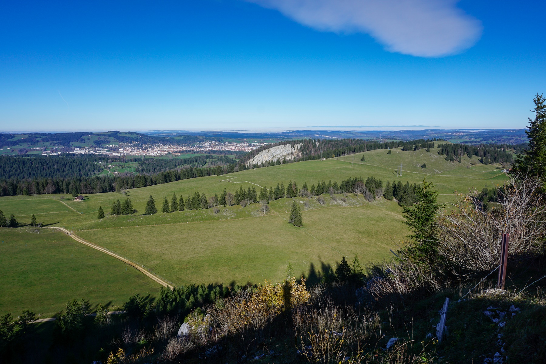
From the Tête de Ran, one goes down a little to go up opposite in a forest that one will not leave before the Pouet-Carre. It is shortly after leaving the forest that one has a somewhat unobstructed view of the Vallée des Ponts. At this point, one can also take a path leading to the Chalet des Neigeux.
After an irregular section, one approaches a descent towards the Loge des Pradières-Dessus. This chalet-counter, which was once managed by the CAS, is now managed by the Friends of Mont Racine association, an association whose aim is to protect the landscape heritage of Mont Racine.
From the Grandes Pradières, the destination appears clearly since a geodesic signal is erected at the top of the mountain of Mont Racine. It is then a question of going up the last hill to reach this summit.
As the Grandes Pradières is also a shooting range, one should find out about the shooting dates, especially if one wants to go to the summit during the week.
For the return, I recommend returning to the Loge des Pradières-Dessus and taking the forest path that passes under the Rochers Bruns. One then reaches, after a short climb, pastures that one crosses to reach the Chalet des Neigeux. From there, the marked path allows one to return to the parking lot of the Tête de Ran hotel, while passing below the ridge.
Itinerary: Parking of the Tête de Ran hotel – Tête de Ran – Mont Racine – Loge des Pradières-Dessus – Les Neigeux – parking of the Tête de Ran hotel
Distance: 10.5km
Altitude gain: 400m
Duration: 3h30


 Previous Post
 Next Post