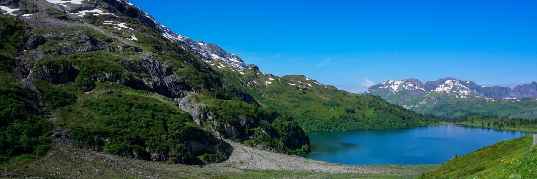
For me, topographic maps are not only a planning tool, but also a way to escape by imagining how certain places could be. After climbing the Combe Grède a few years ago, I wondered if there weren’t other similar valleys along the Vallon de Saint-Imier. This is how I discovered the ruins of Erguël Castle this fall. Further down, there are a few other valleys, including the Combe du Bez rising to the Pont des Anabaptistes. Further down, there is another valley, closed by the Porte des Enfers. This is the one, intrigued by the name, that I decided to explore. About the name Porte des Enfers, I lean towards a deformation of the name Porte des Envers. Indeed, this cirque gives access to small valleys located in the shade of the mountain.
From Sonceboz-Sonbeval station, follow a stretch of the Suze bank. To do this, you must cross to the other side of the railway line. So, you must be very careful not to miss the fork. After passing by a water intake and a wastewater treatment plant, you arrive at what you might think is a dead end closed by a barrier. There is a button that you can press to open the barrier.
After passing under the noisy Transjurane highway, you pass near the Métairie de Nidau before entering the cirque. As you climb, the road noise fades. And it doesn’t take long to pass the Porte des Enfers: two rocky spurs facing each other. We arrive further at the Petite Métairie de Nidau which is a very isolated place located in a small clearing. By consulting the historical maps, we see that there were pastures at this place which almost joined the one of La Steiner. The abandonment of pastoral activity has contributed to the recovery of the forest on the meadows.
Following a good forest road, very steep in places, you soon reach the Graben pastures. Further on, you reach the road leading to the Pont des Anabaptistes from Les Prés d’Orvin. You must follow this road beyond the Métairie de Gléresse. After this chalet, a good path leads to the ridge. As I wanted to enjoy the view a little, I didn’t pass by the Métairie d’Evilard, but I pushed a little further to take the path that passes by La Combatte.
Below the Prés d’Orvin, you cross a busy road to follow the path leading to the Bragarde restaurant. Behind it, a path descends through the woods to reach the bottom of the valley through which the Orvine flows. After passing the Vauchée, you still must climb a steep slope to reach the Ende der Welt. What memories I have of this place since I had often been there to train on the track.
Arrived at the upper station of the funicular, I had the unpleasant surprise to find that it was not working due to a technical problem. So, I had to take a bus and the Evilard funicular. Despite the frustration, I’m very glad I had to do this variation. Indeed, right next to the lower station of the Evilard funicular is the Source des Romains. It is claimed that it was thanks to this spring that Biel was founded.
Itinerary: Sonceboz-Sombeval – Porte des Enfers – Le Graben – Gléresse farmhouse – La Combatte – Les Prés d’Orvin – La Vauchée – Ende der Welt – Macolin (funicular)
Distance: 19.7km
Altitude gain: 950m
Duration: 6h30
Destination Montagne est le résultat de réflexions faites au début des années 90 qui a amené son fondateur, Charles Lehmann, a passer le Brevet d'Etat Français d'Accompagnateur en Montagne. Dès juillet 1996, Destination Montagne a commencé à proposer des randonnées et des trekkings, parfois en collaboration avec d'autres agences.
rue des Sorbiers 21
2300 La Chaux-de-Fonds
Suisse
Téléphone : +41 22 757 67 57
E-mail:frontdesk@destination-montagne.ch
Website:https://www.destination-montagne.ch
