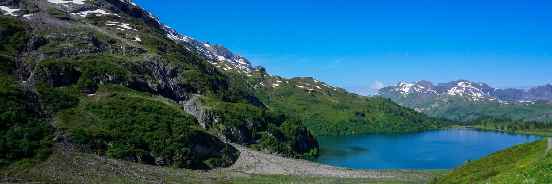
The Breccaschlund is a magnificent destination in the Fribourg Prealps. Behind the Lac Noir open three marked valleys. The most easterly is the valley that leads to the Euschelspass allowing you to reach Jaun (named Bellegarde in French). The most westerly is the one which, beyond the Col de la Balisa, allows you to reach Charmey. Finally, the central valley is that of Breccaschlund. Part of this valley forms the homonymous nature reserve. One finds untouched and wild landscapes there.
You can get to this valley from the shores of Lac Noir. However, for those who want to avoid a long climb, there is the possibility of taking the chairlift which, from Gypsera, leads to the Riggisalp. In doing so, we end up with almost 450m less elevation gain.
From the arrival station it is then a question of crossing to the Untere Euschels chalet. At this point, we leave the path going up to the Euschelspass on the left to follow at the beginning an dirt road which makes a wide curve at the bottom of the valley. Further on, the road turns into a path and overcomes a small step with the help of metal stairs. After a short descent, we arrive at the Stierenberg chalet where the path begins to climb again, up to Rippetli. This is where the mountain path breaks off to climb up and cross the slopes below the Spitzflue.
After passing near a stable, you climb again to reach the foot of the Türmli. We then cross the steep slopes dominated by high walls. The impact marks around the trail suggest that rockfall must happen here quite regularly. So, it’s a matter of not lingering too long. At the end of the crossing, we still must cross an inconvenient area of scree. Fortunately, this end is very short.
Once the scree has been crossed, the path arrives on an old frontal moraine: the shape of the ground leaves no doubt. At Combi, you cross a surprising area of limestone-strewn meadows with rock pointing through the grass. This limestone is oriented in the same direction, which gives the landscape a surprising aspect.
Following the dirt road which descends, in places very steeply, it does not take long to reach the Cerniets chalet. From here, the road becomes a little flatter. It is only after passing the Brecca and Steinige Rippa chalets that the slope becomes steeper, and you must follow a path. Although the knees suffer a little, the steepness makes it possible to quickly lose altitude. It is near the Wälschi Rippa that we find the motorable path that we left above.
Lower down, you leave this one again to pass by Hubel Rippa’s chalet. The path does not take long to reach the Euschelsbach which is crossed on a small bridge. Further down, we join the path getting around Lac Noir. Just follow it to reach the starting point in Gypsera.
Route: Riggisalp – Untere Euschels – Stierenberg – Rippetli – Cerniets – Unteri Rippa – Hubel Rippa – Staldenloch – Gypsera
Distance: 14Km
Altitude gain: 450m positive, 890m negative
Duration: 5h
