As a child, I had often heard of Guggershörnli, which is the Swiss-German name for Guggershorn. There is indeed a parody of the music hall tune “It’s a long way to Tipperary”. The parody tells the story of a sidekick accompanying the central character who had taken it into his head to set off on foot from Bern to climb the Guggershorn (which is still a good 25 kilometers, not counting the altitude gain). The parody explains that the road is long to Guggershorn and that this idiot (thus the central character told by the acolyte) would have rather taken the train (to Schwarzenburg, of course).
This summit is a “must” for anyone living in the Bern region. It does offer a magnificent view of the Singine and the Bern region (hence probably its name, “guggen” coming from “gucken”, to watch).
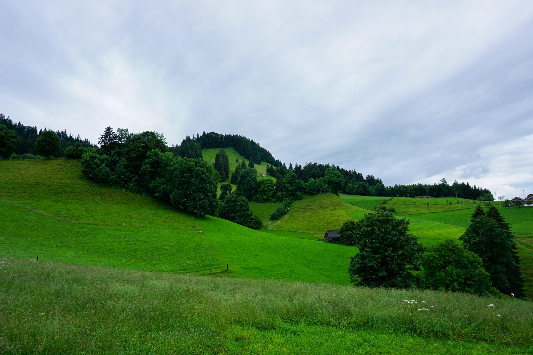
I only recently realized that this summit can be easily identified when looking at the Fribourg Prealps from the plain. Because, even if its altitude is nothing exceptional (1283m), it is well ahead and very isolated from the Gantrisch massif. It also has a camel hump shape which makes this peak easily identifiable. What is surprising is that unless you climb to the top, it feels like it is completely wooded. The top of the trees growing at the foot of the summit prominence is at the height of the summit. The other surprising aspect is that the summit prominence is a lump of conglomerate that looks like it sits there on top of the hill overlooking Guggisberg.
From Guggisberg, a fully arranged path (cemented at the start, then with stairs and balustrade) leads to the foot of the rocky prominence. From there, a wooden staircase allows to climb the last few meters. It is interesting to mention that the first construction of such a staircase date back to 1828. Indeed, the owner of the hostel “Sternen” then sought to make out of the summit a tourist attraction.
The descent is made by the same path, even if traces suggest that one could be able to descend from the summit following the ridge. As everything was very wet, I did not dare to venture there.
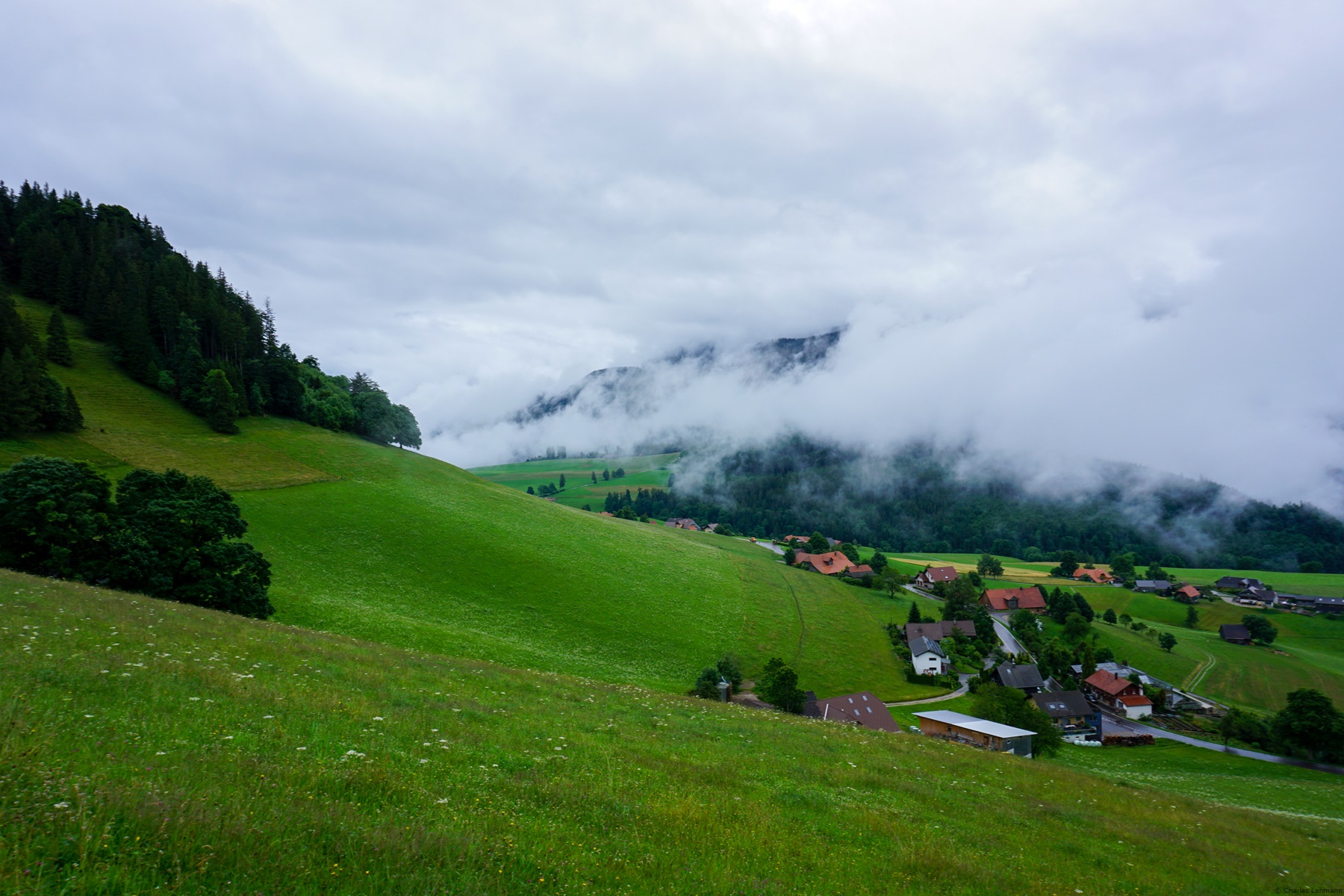
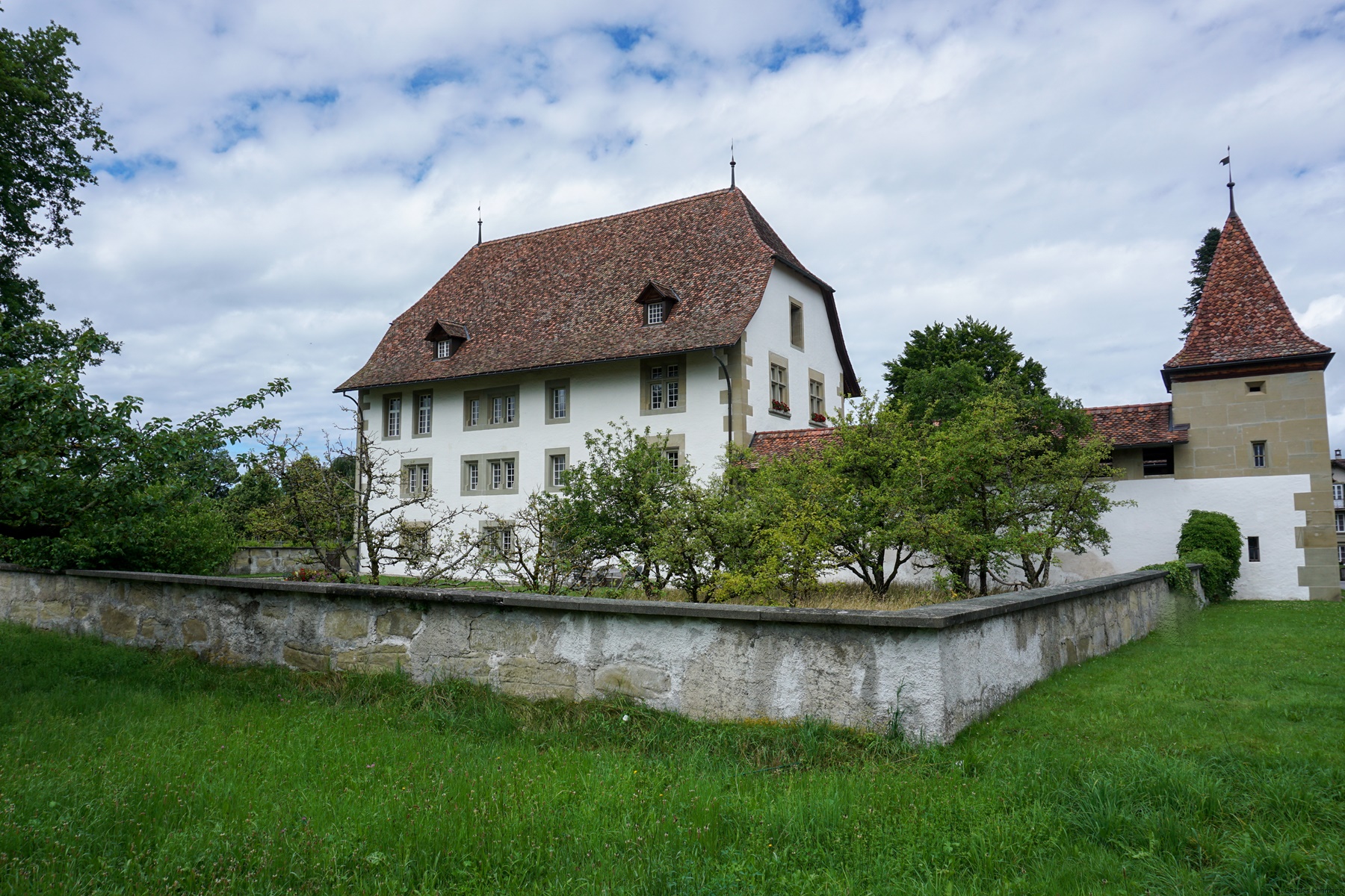
To reach Schwarzenburg, a good path descends to the small pass between the Guggershorn and Schwendelberg and continues through meadows and fields before arriving in the small valley of the Dorfbach. From there, one follows a road, fortunately not too busy, to reach the village of Schwarzenburg, not without having passed close to the castle.


 Previous Post
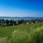 Next Post