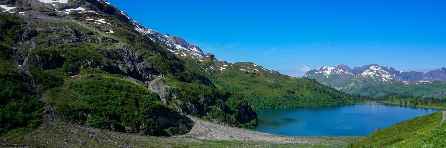
If you want to enjoy a beautiful view of the Swiss plateau and the Alps from the Neuchâtel Jura, a hike along the ridge to the Tête de Ran is a must. In fact, and contrary to the first impression when you are at the Col de la Vue des Alpes, the view is clear only at the pass. Whether you are starting to the Mont d’Amin or heading towards the Tête de Ran, the view is hidden by trees, when you are not in the undergrowth. On the other hand, the ridge between Mont Racine and Tête de Ran has completely unobstructed views.
The current name of La Tête de Ran refers not only to the top but also to the pass where the old hotel is located. Originally and on old maps, the pass was called “Col de la Sauge” and was located on the old route connecting Neuchâtel and the Val de Ruz with the Locle. Its importance has diminished over time, in favor of the Col de la Vue des Alpes (originally called “Col des Loges” and whose current name comes from the Auberge de la Vue des Alpes that was erected at the pass).
Starting from La Chaux-de-Fonds, we first descended to the Place du Marché following the Rue du 1 Mars. First of March is important in the history of the canton of Neuchâtel, since the revolution of 1848 took place on that date. The surprising fact about this revolution is that even though Neuchâtel joined Confederation in 1815, it was still dependent on the Kingdom of Prussia. This reality became increasingly unbearable, especially for the population of the upper part of the canton. So, they had marched on Neuchâtel to lay siege to the castle and force the bailiff to leave. This happened on the evening of 1 March.
From the town center, head up to Bois du Couvent, where the campground and gymnastics course are located. From there, head down to the opposite direction to Reymond. The area is quite noisy, with the tunnels of Vue des Alpes leading there.
After passing the Maison Rouge hill, you must cross the pass road to the opposite side towards Col de la Brulée. The climb is steep and has been constructed with stairs. Do not climb them too quickly, as you might get out of breath. The place name Col de la Brulée becomes very meaningful when one follows the marked trail (and partly the old road). The old road ran through this pass and descended towards Boinod, describing a very tight hairpin. When the new road was built, La Motte was bypassed, allowing for a less winding route.
Further on, we followed the Col de la Vue des Alpes trail before turning off at the Petite Corbatière towards La Tête de Ran. As we do so, we pass under the ski lift La Corbatière. Once at the Col de la Sauge, it is worth climbing the steep slope to reach the top of La Tête de Ran.
On the way down, we followed the signposted trail to Les Hauts-Geneveys. This trail passed several times under the cables of the old ski lift at Les Gollières. The cables and towers have been dismantled in the meantime. All you can see now is the pylons here and there.
Itinerary: La Chaux-de-Fonds – Bois du Convent – Le Reymond – Boinod – Col de la Brulée – Derrière Tête de Ran – Tête de Ran – Les Gollières – Les Hauts-Geneveys
Distance: 11.4Km
Altitude gain: 550m
Duration: 3h30
