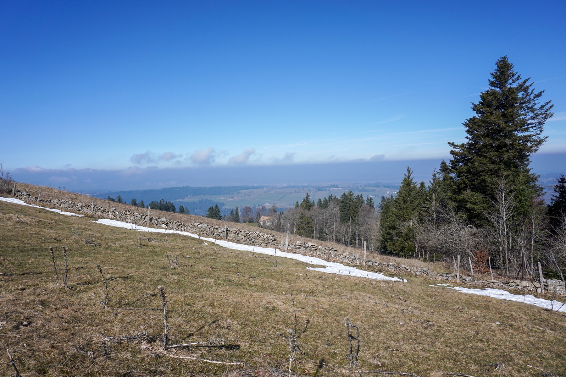
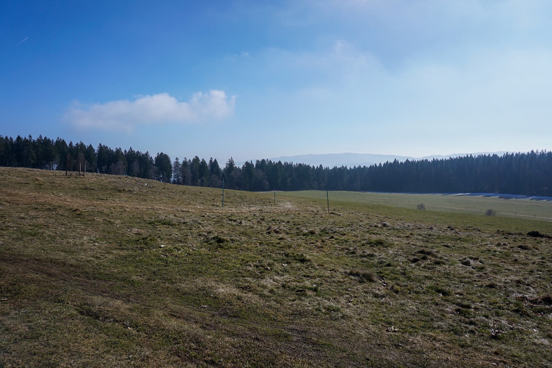
Located above La Chaux-de-Fonds, the Gros Crêt at Pouillerel is the highest point of the Doubs Regional Natural Park. It is located high enough to offer a view of the Alps (from the Pre-Alps of Central Switzerland to the Mont Blanc Range). A geodesic signal marks the summit, and two orientation tables allow one to familiarize oneself with the panorama.
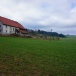
To get there, one can cross (or walk along depending on the time) the Bois du Petit Château to follow, just below the Villa Blanche of Corbusier, the “Roman” path. After a climb, one reaches again the Chemin de Pouillerel Road that one left below the Villa Blanche. One just must follow the markings to arrive at the Gros Crêt farm and take a dirt road leaving the tarred road. One then passes in front of the Asters refreshment bar before reaching the highest point.
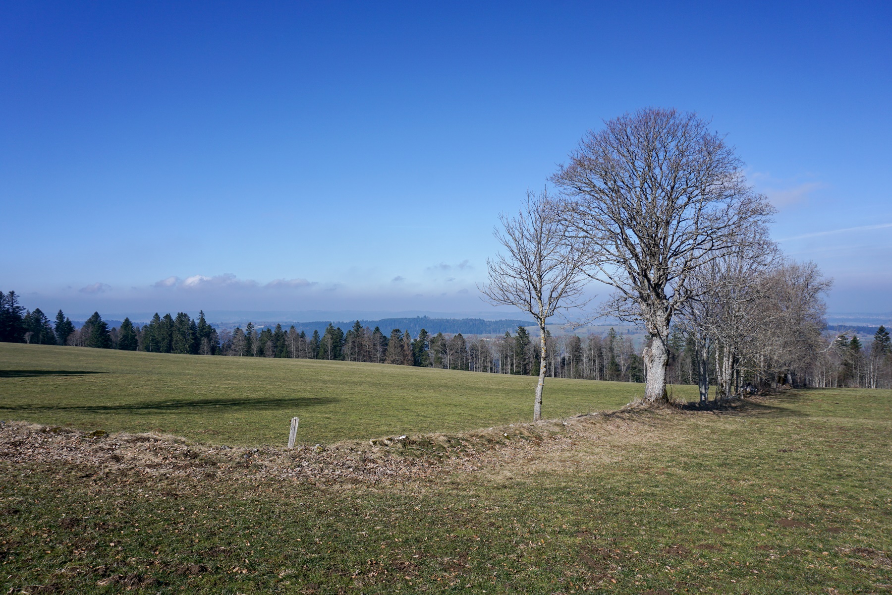
To avoid going back and forth, it is possible to follow a good, unmarked path, heading towards the Maillard farm (the locals say “les Maillards”). One then crosses a pasture to then follow the edge of the forest. When one crosses a dirt road, one can turn right to reach the Racine farm. One then finds oneself on a paved road that one follows to La Grébille. Going back towards La Sombaille, one can then go down to the Bel-Air district by following the paved road.
Itinerary: La Chaux-de-Fonds – Gros Crêt – La Racine – La Grébille – La Sombaille – La Chaux-de-Fonds Distance: 10Km Altitude gain: 320m Duration: 3 hours


 Previous Post
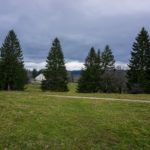 Next Post
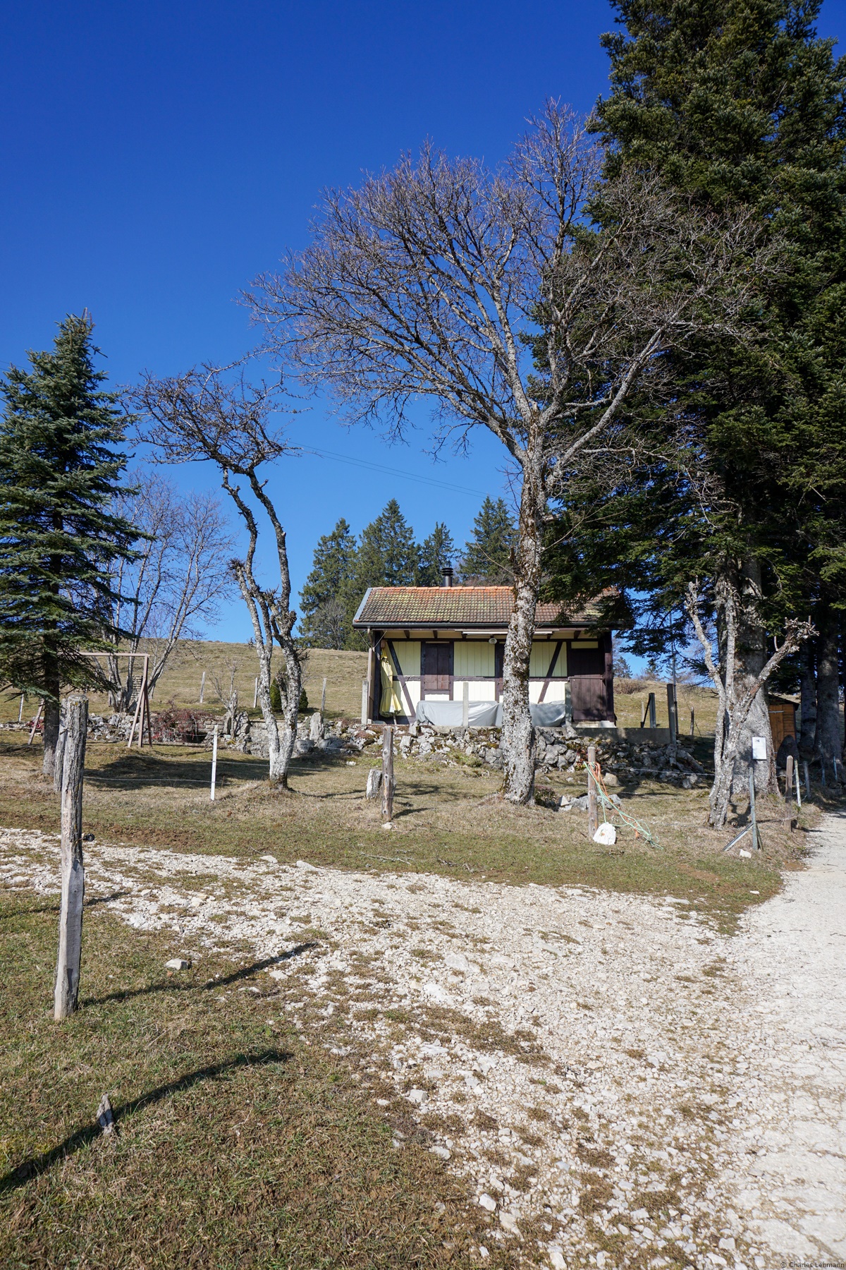