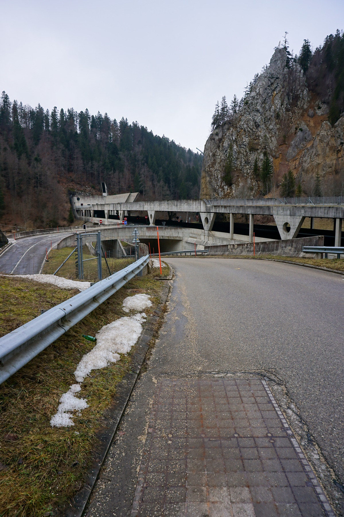
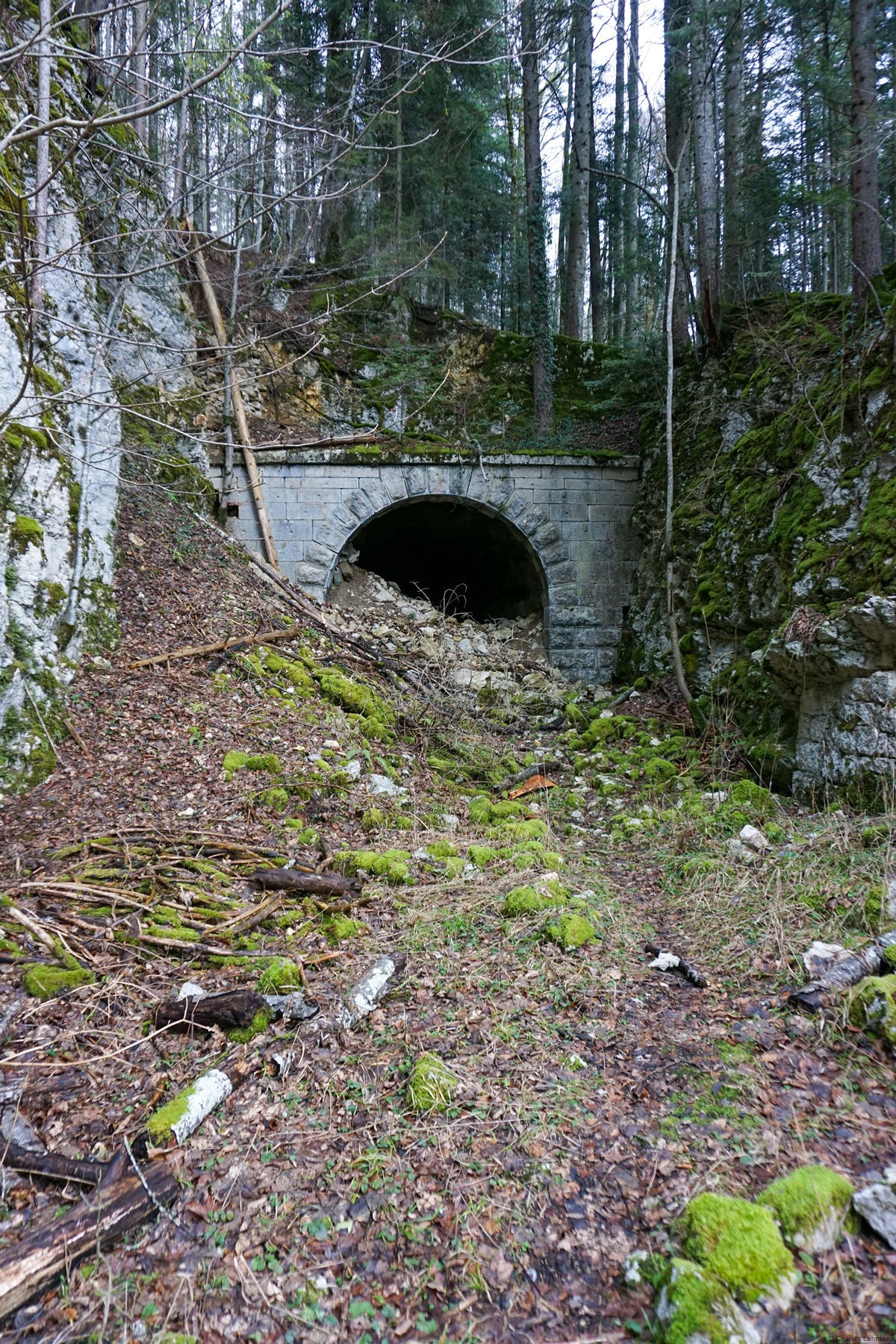
I have recently relocated to the canton of Neuchâtel and this move led me to look for other hiking destinations that I was used to. As a result, I’ve been studying meticulously the Swiss national map for quite some time to try to find a nice hike to do. This is how, looking at the map more closely, I was surprised to see that the path leaving Les Convers in the direction of Le Creux presented embankments that were obviously not natural. I had thought, at first, that it was the spoil from the the Loges and Mont-Sagne tunnels. While researching, I found that it was not so and that the history of this line is fascinating. Indeed, shortly after the independence of the canton of Neuchâtel in 1848, the La Chaux-de-Fonds – Neuchâtel line was inaugurated (in 1860… we didn’t hang around at that time). The Bernese had then the project of connecting Bienne to La Chaux-de-Fonds by the Vallon de Saint-Imier. Finances being precarious, it was decided to connect to the Neuchâtel line at Les Convers. This had required the drilling of a short tunnel, 135m instead of a much longer tunnel under Mont Cornu. The downside then was that it required a turnaround at the Convers, which was a big problem in the days of steam locomotives. The exploitation of this solution would have lasted only 14 years, since in 1888, the Mont Cornu tunnel was inaugurated and the Creux – les Convers track abandoned. Well, not exactly. The line was kept serving as a siding until the 1950s. The Convers station existed until the mid-1990s and was abandoned with the opening of the Vue des Alpes road tunnel.
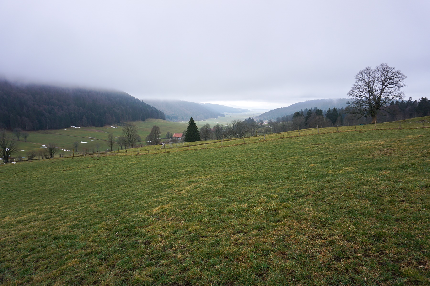
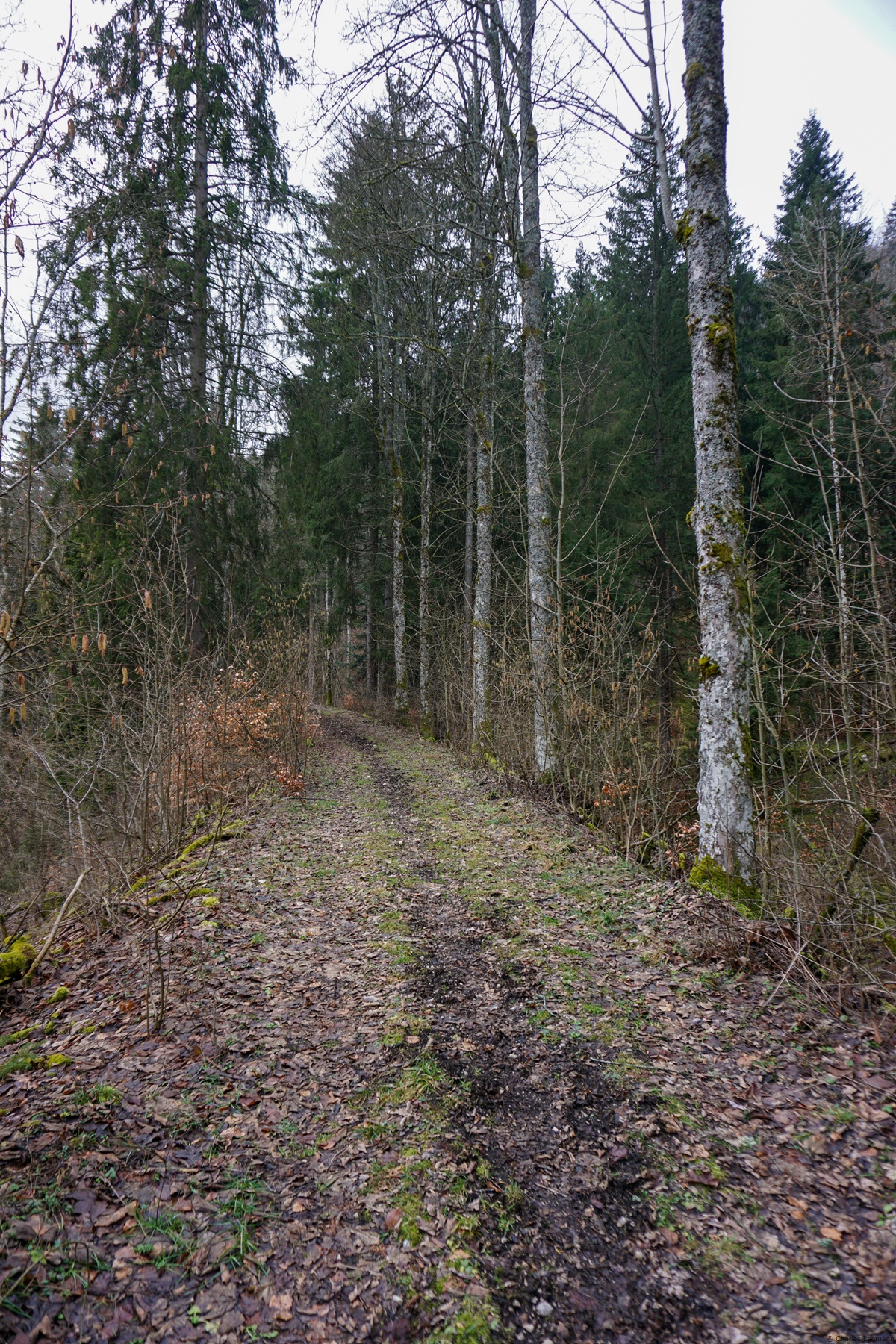
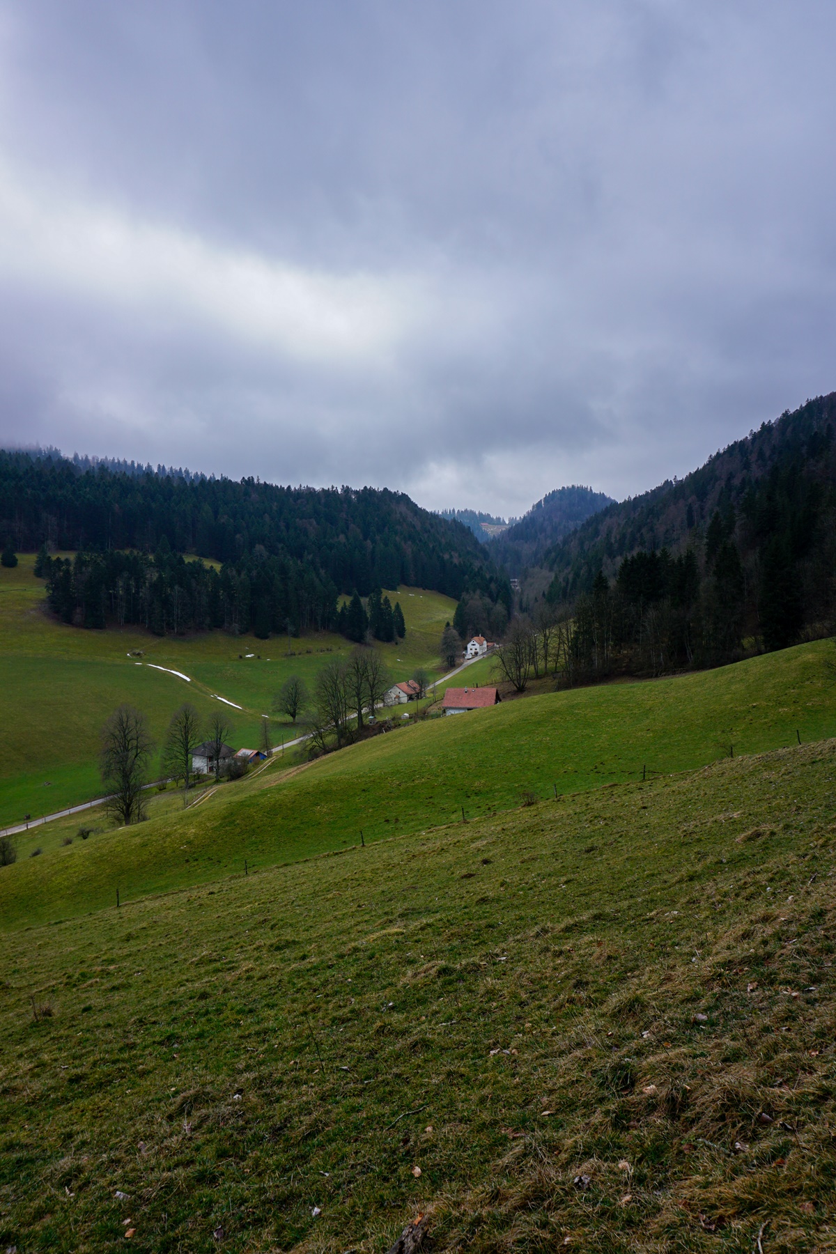
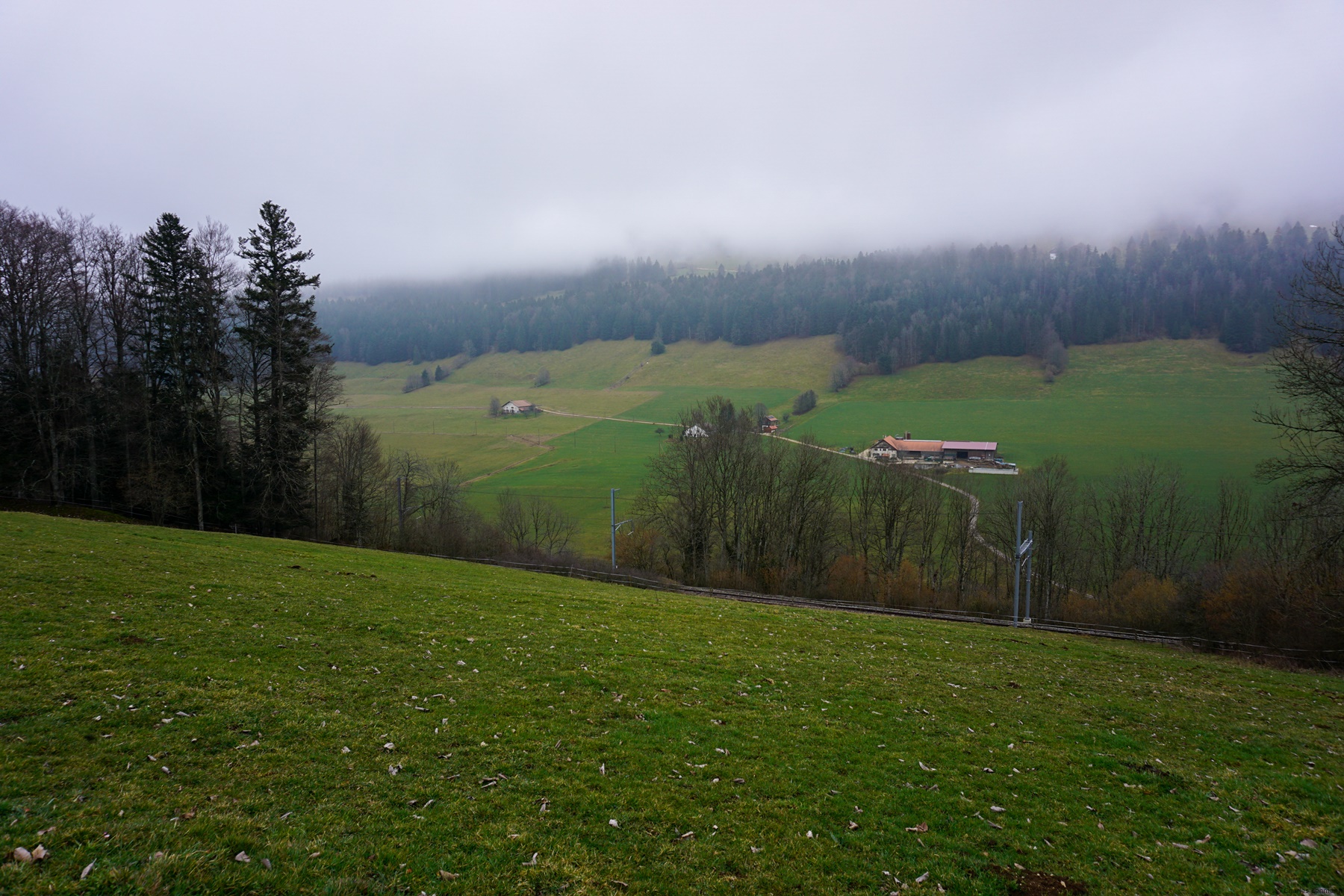
In terms of hiking, I anticipated that, despite the historical interest, it took place in a environment that was not necessarily idyllic. Indeed, the bottom of the Vallon de Saint-Imier is a particularly desolate place. In fact, one is at the bottom of a very steep valley and the presence of the road crossing the tunnels of the Vue des Alpes does not help matters. However, I can imagine that during the heat of summer, it must be pleasant to do this hike, especially if one continues the descent towards the Vallon de Saint-Imier.
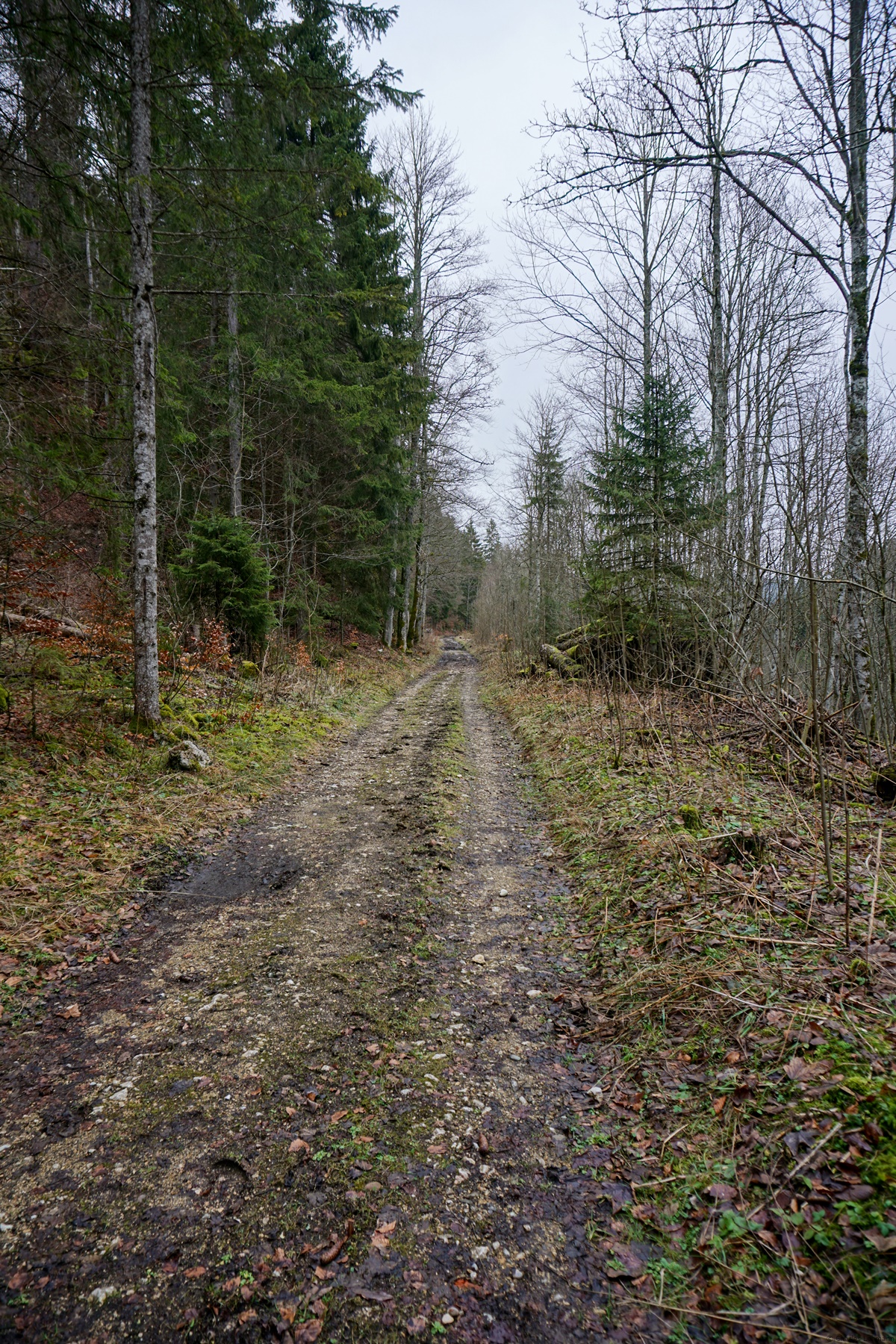
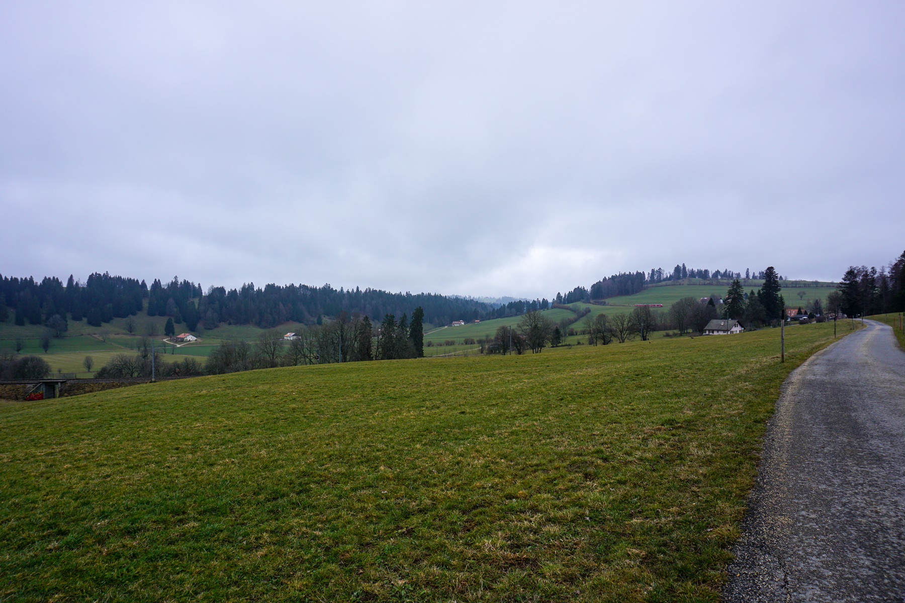
From La Chaux-de-Fonds, one starts by crossing the Bois du Couvent to follow a path passing through Le Reymond. This trail is classified in the inventory of historic routes with national importance. After passing the bump of Mont Sagne, the marked trail invites you to climb a small pass near La Motte, to descend on the other side. It then follows a part of the Vue des Alpes road. There, since I had to follow the road, I preferred to follow the road at another place to reach Boinod and take the road leading to the semi-highway.
The rest took place along the marked trail to the La Cibourg train stop.
Itinerary: La Chaux-de-Fonds – Bois du Couvent – Le Reymond – Boinod – Les Convers – La Cibourg Distance: 12Km Altitude gain: 400m Duration: 3h30
Guten Tag,
Die Koordinaten lauten 47.097523, 6.868922 (WGS84). Es gibt ein Strässchen, das zum ehemaligen Wärterhaus führt. Dieses Strässchen ist wahrscheinlich Privat, doch weiter unten parkieren sollte möglich sein.
Hinweis: der Wanderweg der von Strassentunnel zum Südportal führt ist seit dem Unwetter vom 24. Juli 2023 weiterhin gesperrt!


 Previous Post
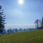 Next Post
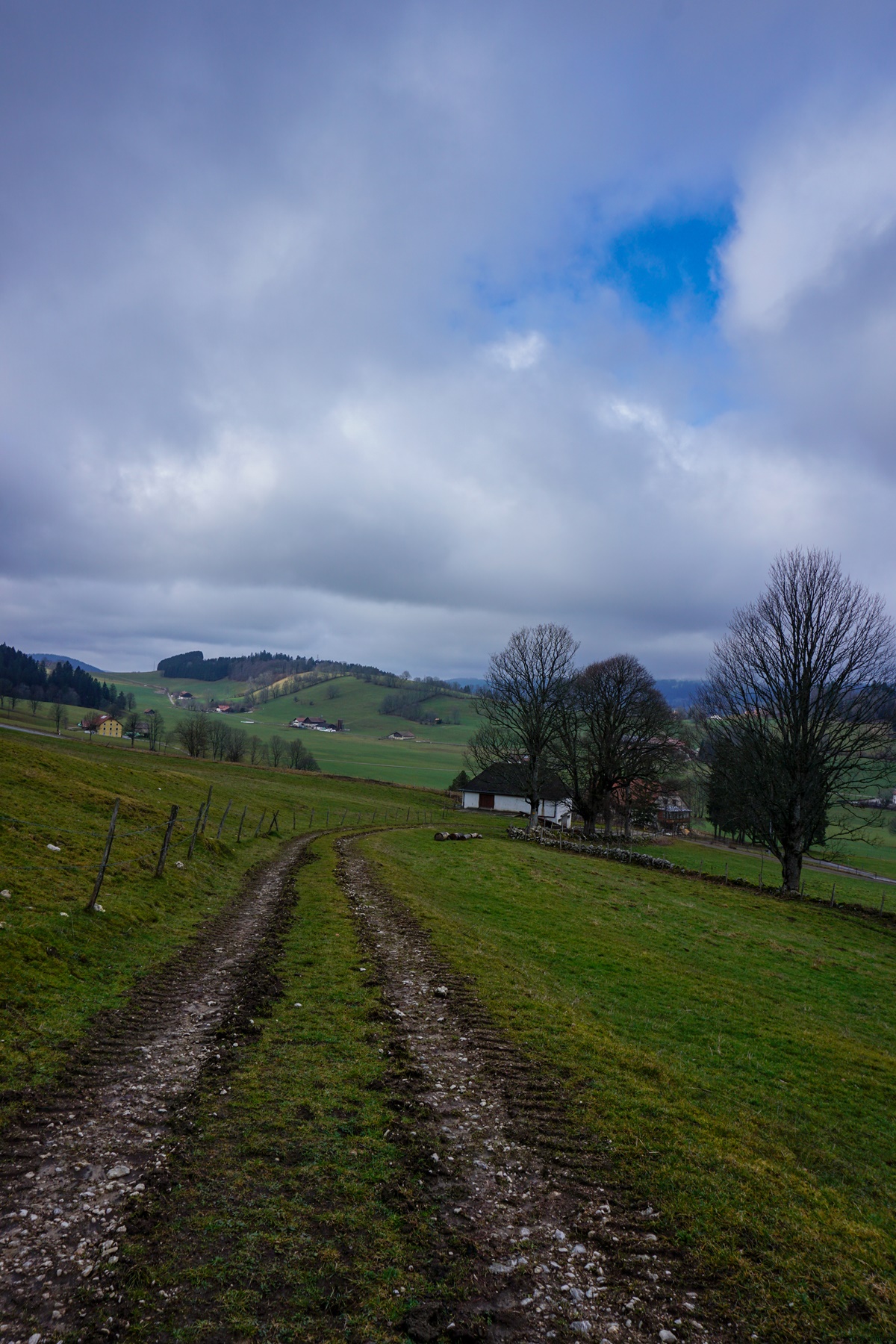
Wie sind die Koordinaten vom Nordportal und wie kommt man am einfachsten dahin?
Guten Tag,
Die Koordinaten lauten 47.097523, 6.868922 (WGS84). Es gibt ein Strässchen, das zum ehemaligen Wärterhaus führt. Dieses Strässchen ist wahrscheinlich Privat, doch weiter unten parkieren sollte möglich sein.
Hinweis: der Wanderweg der von Strassentunnel zum Südportal führt ist seit dem Unwetter vom 24. Juli 2023 weiterhin gesperrt!