
Pourquoi est-ce que je parle du « sommet du Gantrisch » ? La raison est que le toponyme Gantrisch désigne non seulement une région (celle se situant en avant des Préalpes à cheval sur les cantons de Fribourg et de Berne), mais également un sommet de cette région. Etonnament, le sommet du Gantrisch, n’est pas le point culminant de cette chaîne, mais se trouve au sommet de l’Ochse. En revanche, depuis la plaine, le sommet du Gantrisch présente une forme très particulière et reconnaissable. C’est probablement pour cette raison que l’on a attribué ce nom à la région.
Le sommet du Gantrisch, malgré le fait que les itinéraires figurant sur la carte sont indiqués en sentier de montagne, nécessite un bon pied montagnard pour pouvoir le gravir. Depuis la Wasserscheide, on commence par suivre un bon chemin jusqu’au chalet et buvette d’alpage de Obernünene. Depuis cet endroit, le sentier devient plus étroit et de plus en plus raide. Celui-ci fini par grimper vers l’est en direction du Leiterepass.
Depuis le col, le sentier balisé invite à descendre un peu afin d’emprunter un sentier traversant toute la pente sous le Gantrisch pour rejoindre l’arête sud-ouest. Il est toutefois préférable de suivre un sentier parcourant l’arête issue du col et se détachant de celle-ci en-dessous du sommet. Ce sentier n’est pas balisé, mais il est suffisamment parcouru pour être relativement facile de parcours. Seuls un ou deux courts passages nécessitent l’usage des mains. Dans la traversée sous le Gantrisch, quelques ravines pourraient rebuter ceux qui n’ont pas le pied alpin.
Après la traversée, on atteint l’arête sud-ouest et le sentier balisé. Malgré le fait que le sentier soit classé en sentier de montagne, il faut savoir que l’usage des mains est, çà et là nécessaire pour l’équilibre. Des câbles offrent une aide pour la progression, mais ne sont souvent pas nécessaires.
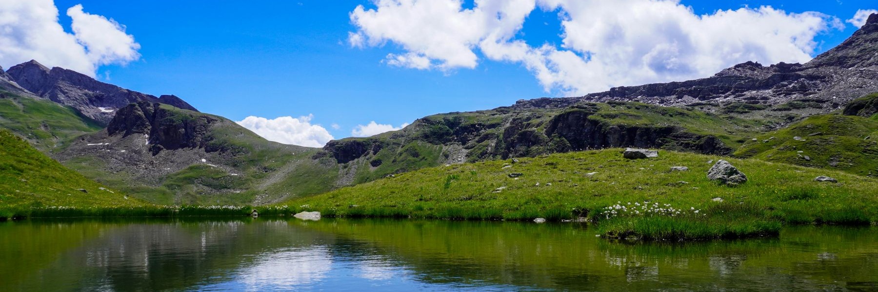
Le Gantrisch est un magnifique belvédère dont la situation s’apparente au Stockhorn. En effet, vers le nord, aucun sommet ne vient cacher la vue. On a également une très belle vue sur les Alpes dont on distingue le Mont Blanc tout au fond.
Pour le retour, j’avais choisi de descendre vers Weissenburg. Pour ce faire, j’ai traversé la crête pour rejoindre le Morgetepass et descendre le long du Morgetebach. Ce faisant, on passe devant les spectaculaires cascades de Faal. Le seul inconvénient est que l’on doit suivre un bon bout la route poussiéreuse montant à Morgete. Comme une voiture passe de temps en temps, on finit par passablement avaler de la poussière.
Plus bas, après un angle de la route, on franchit une spectaculaire passerelle permettant de rejoindre l’autre rive du Morgetebach. A partir de l’autre rive, un sentier aménagé avec des échelles permet de descendre dans le Buuschetal non loin de l’embouchure du Morgetebach. Après avoir franchit à nouveau ce torrent, on suit un sentier beaucoup plus plat permettant d’atteindre les ruines des premiers bains de Weissenburg. En continuant, on passe devant les ruines des bains de Weissenburg et on longe de flanc la vallée pour atteindre la gare.
En Suisse Allemande, on voit encore beaucoup d’enseignes de restaurants avec la publicité pour la « Weissenburger Citro ». En effet, l’eau minérale était captée et mise en bouteille. Il existait également diverses limonades fabriquées à base de l’eau minérale. La production a cessé en 1988 après que l’équipement de production avait été déménagé à Eglisau.
Itinéraire : Wasserscheide (Gurnigel) – Obernünene – Leiterepass – Gantrisch – Morgetepass – Morgete – Schöneboden – Weissenbugerbad – Weissenburg
Distance : 14,7Km
Dénivellation : 720m positif/1530m négatif
Durée : 5h30
![[:fr]Paysage de montagne[:en]Mountain scenery[:de]Berglandschaft[:]](https://destination-montagne.ch/wp-content/uploads/2023/09/230902_Vue_des_Alpes_004-150x150.jpg) Article précédent
Article précédent![[:fr]Paysage de montagne[:en]Mountain scenery[:de]Berglandschaft[:]](https://destination-montagne.ch/wp-content/uploads/2023/09/230906_Augstbordhorn_044-150x150.jpg) Article suivant
Article suivant