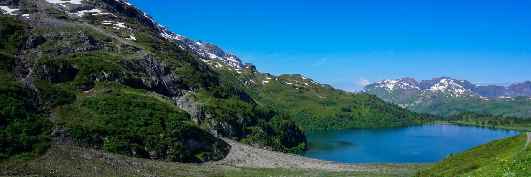
As the weather was nice, we thought we would have to go hiking. At the same time, it was late, and we couldn’t go too far for the start of the outing. So, we decided to leave from home to cross the Vue des Alpes pass. However, as we were intrigued by the ridge that we see every day, we decided to go off the trails to climb the Petite Corbatière.
Departing from La Chaux-de-Fonds, we did not follow the marked route faithfully because near the center it goes up Rue du Grenier, which is too busy for our taste. We therefore went up rue de la Promenade, so named because, until 1939, it was much flatter and had a steep embankment on the rue du Grenier side. A trench was then dug to allow road traffic, while preserving mounds in front of the buildings.
Higher up, we followed the marked trail which has, on the Reymond side, a few sections classified as historic routes. At Boinod, one must cross the Col de la Vue des Alpes Road, not far from an abandoned gas station. This gas station did not collapse due to poor management, but it must be remembered that before 1994, all traffic going to La Chaux-de-Fonds from the lower parts crossed the Col de la Vue Alpes. With the inauguration of the tunnel, attendance, and therefore the need for gasoline, had decreased significantly.
After crossing the road, we climbed very steeply in the woods to reach a sort of pass located between La Motte and Petite Corbatière. Until the 1950s, the road of Vue des Alpes passed by this point and it was then improved by going around La Motte. La Petite Corbatière can be reached without too much problem by passing behind a fort from the last world war and following, at best, the ridge. Sometimes, one must deviate a little because the vegetation is too thick. But quite quickly, one reaches the pastures of Petite Corbatière. Unfortunately, the view is a little obstructed by the trees, but you can clearly see the Sombaille district of La Chaux-de-Fonds.
After going down to the stable, we found the path to the Vue des Alpes just above the Prés de Suze. The place is not very beautiful, because the Prés de Suze was used as a landfill. However, it has been filled in and should regain a more attractive appearance once the cover will be covered with vegetation.
The Vue des Alpes lives up to its name. Unfortunately, we anticipated having a clear view going towards La Grognerie. We were disappointed, even though the hike is very beautiful. Further on, we got to the Hauts-Geneveys station, passing near the Tête de Ran ski lift.
To conclude, and for those looking for a beautiful view of the Alps, the pass is certainly a good place, and easy to access. On the other hand, if you want to be a little quieter, it is better to go up to Tête de Ran and Mont Racine.
Itinerary: La Chaux-de-Fonds – Bois du Couvent – Le Reymond – Petite Corbatière – La Vue des Alpes – La Grognerie – La Baume – Les Hauts-Geneveys
Distance: 12Km
Altitude gain: 500m
Duration: 4h
