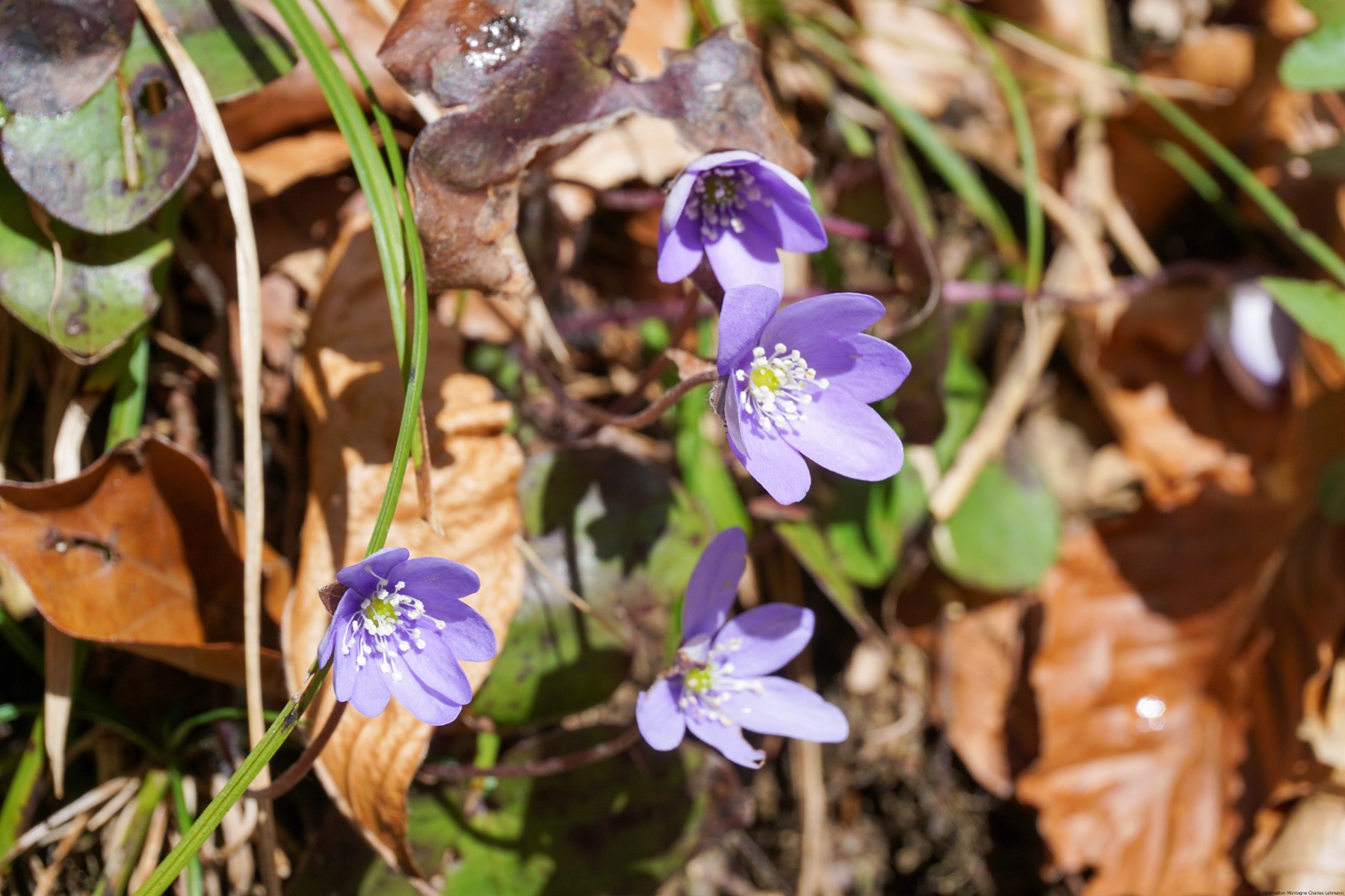
Engelberg is certainly not an isolated case but, as I was often in Engelberg as a youngster, I can only tell how much the original paths have disappeared. This fact can be looked up on the digital topographic map by comparing the former maps with the present ones. The reason for the disappearance of the footpaths can be traced back to the construction of alpine or forest roads. The construction of these roads is not to be regretted: after all, the mountain farmers should have it easier since their work is hard enough. It is a pity that the footpaths are no longer maintained. This lack of care has led to the fact that paths widely used in the 1980’s are now hard to find.
This entry describes a tour that follows two sections of such vanished paths. The first leaves the hiking trail to Flühmatt to reach Haus Hüsli. The second corresponds to the former path that led down from Hinter Sack to the Schwand.
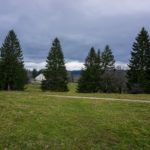
From Engelberg, first follow the path in the direction of Flühmatt (actually Untere Flühmatt). The path crosses the Ochsenmatt and climbs to the left into the forest. Cross the first gully and continue up the slope. Before a second gully, just after the corner, one can see a track that meanders up the slope. After a short climb one reaches a pasture that is used as a hay pasture: further up there is a hayloft that was used in the past. Today the hay is pulled up via a cable. Further up, after a short section in the forest, one reaches the house Hüsli and the hiking trail that leads from Bord to Flühmatt. If one wants to climb to Ristis, instead of following the marked path, it is better to follow the wide path that starts behind the shed. This path corresponds to the former hiking trail from Bord to Flühmatt.
On the edge one reaches the marked path that leads up to Ristis.
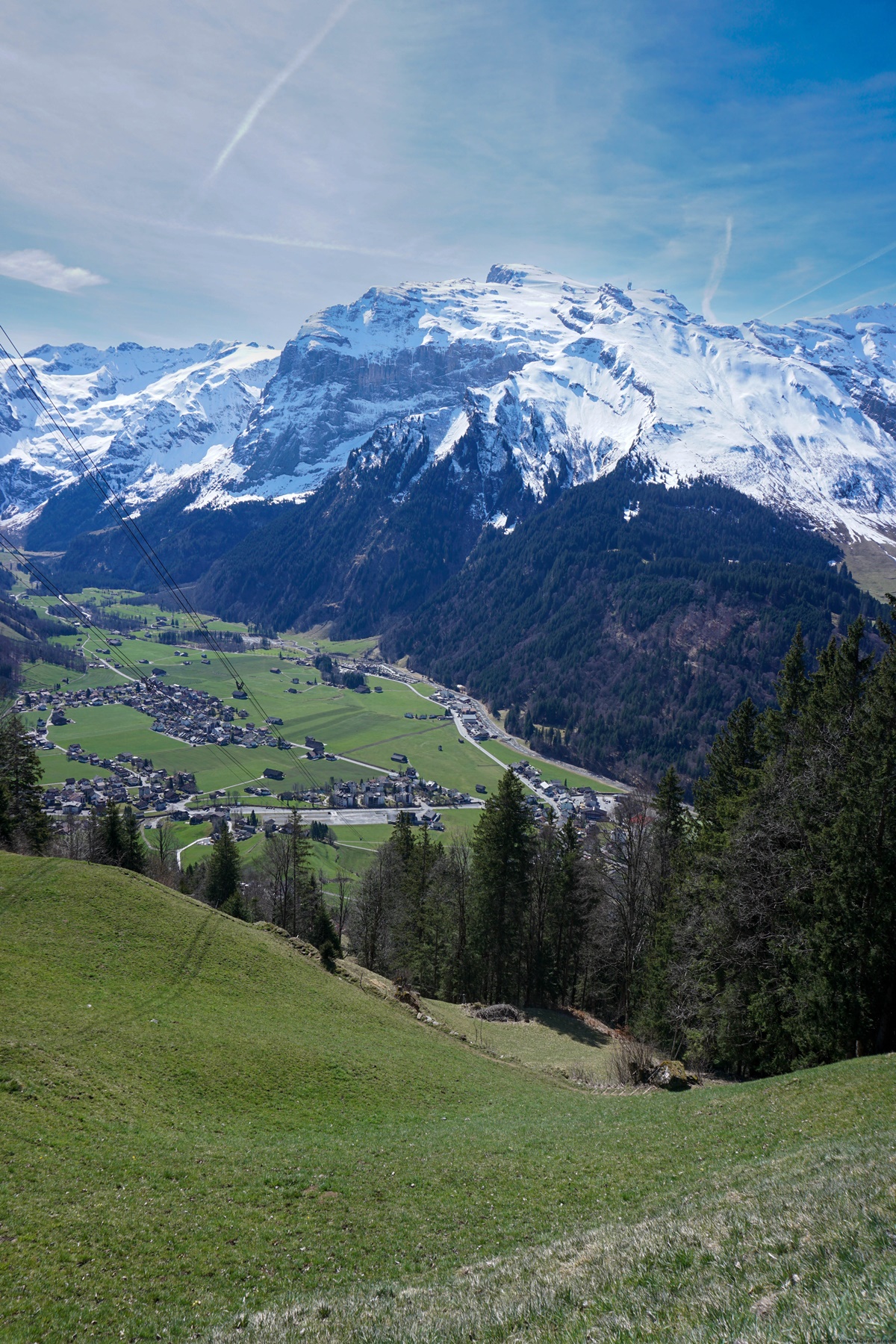
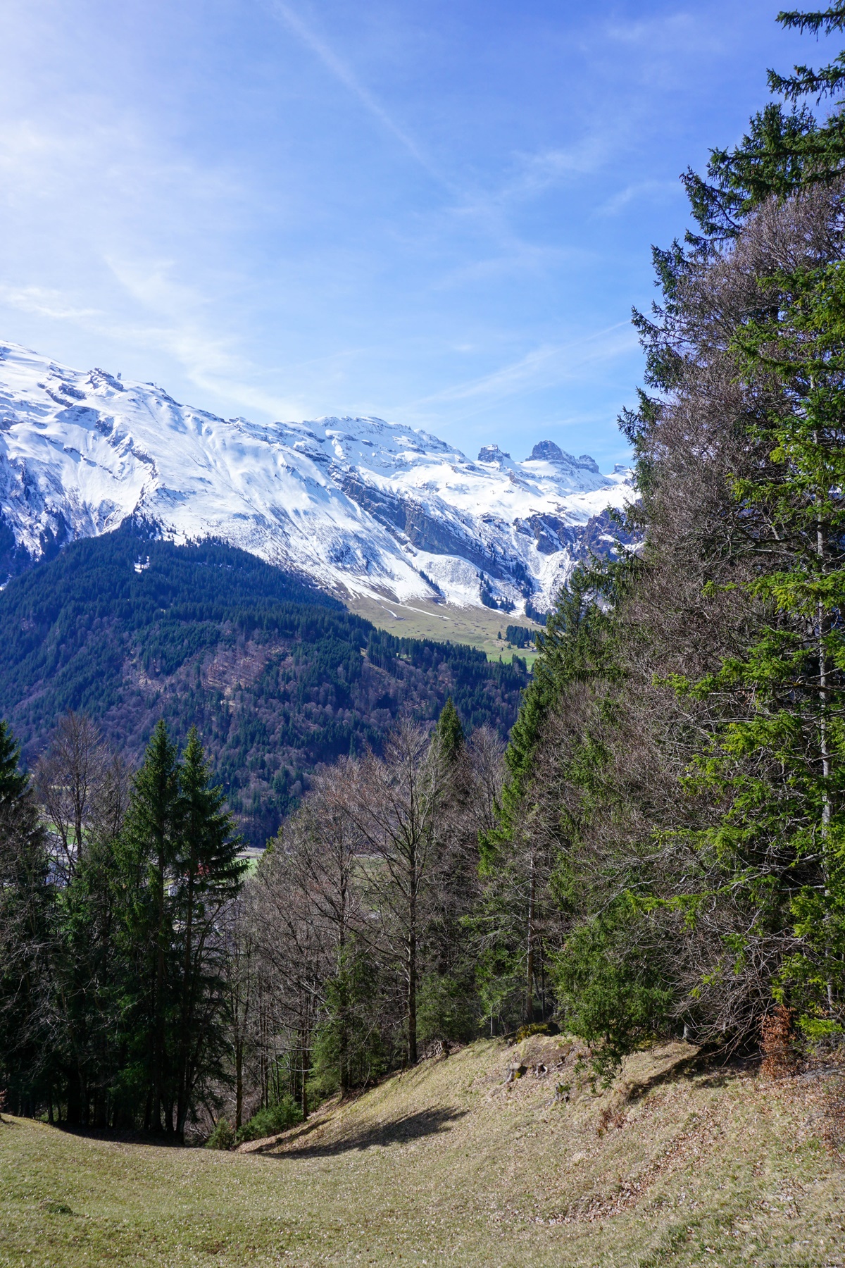
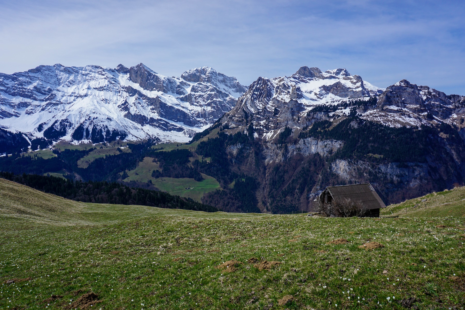
From Ristis I followed the road that leads to Schwand until Hinter Sack. Where the hiking trail comes down from the Stoffelberg, the former path used to go through the pastures, past two sheds to Spisboden. It went on, straight down to the Schwand.
From the Schwand it is advantageous to avoid the road by going to the Bäch in order to reach the same road again just before the Gschneit. It’s a few more meters of altitude gain, but it’s much quieter.


 Previous Post
 Next Post