La Voie Révolutionnaire refers to the Neuchâtel Revolution of March 1st, 1848, which saw the departure of the royalists from the King of Prussia and the establishment of the new republic. Indeed, on February 29th (a leap year, therefore), a movement of insurrection left Le Locle to march on Neuchâtel. On March 1st, the castle was taken from the royalists, without bloodshed.
The Voie Révolutionnaire takes up part of the path taken by the revolutionaries, but with a diversion in the direction of the Escarpineau (I doubt the revolutionaries would have gone to this viewpoint: they had other things to do!).
The Voie Révolutionnaire is a big stretch for those who want to cover it in one day. Indeed, the day represents 35km for 890m of altitude gain. Therefore, it is preferable to do sections of this route, which are more appropriate in terms of distance and elevation gain. This is what is proposed on the Neuchâtel Rando site. Here we had completed the last section of the Voie Révolutionnaire, between Les Hauts-Geneveys and Neuchâtel.
Even if you follow a part of the historical path, the fun is somewhat spoiled by the fact that you walk close to the road crossing the Vue des Alpes. So, there is quite a lot of noise, especially when you cross the Gorges du Seyon, even though you are on the other bank than the road.
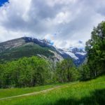
That day, the morning weather was uncertain and so we reached Les Hauts-Geneveys in a heavy rain. So, we continued by train to Les Genevey-sur-Coffrane to find that the weather was improving. So, we took the train back to Les Hauts-Geneveys where, time to get a cup of coffee, the weather was completely cleared.
The first part of the itinerary is not very interesting, as it follows paved roads to reach Boudevilliers. From this place, you must follow a paved road for a while before taking a road leading to Valangin. Instead of going straight through Valangin, it’s worth diverting a little to look at the church and the castle.
From Valangin, one crosses the Seyon to gain altitude opposite and crosses the Gorges du Seyon on the heights. Then one follows sections of paths grooved by the carts that were supposed to follow this route.
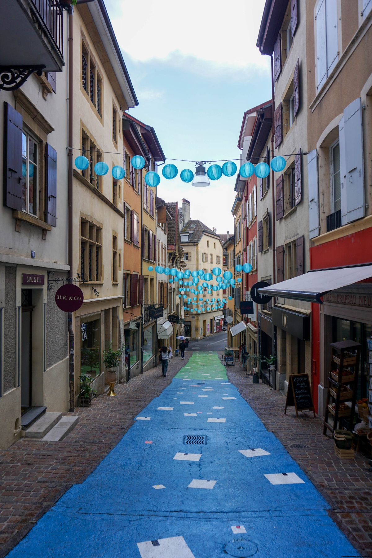
At the end of the Gorges du Seyon, you dive towards the torrent that you cross to reach a complex of old mills. The place, very narrow, is spectacular and you can imagine that it must have been of great importance, since the Seyon almost always brings water. Further on, and after leaving the small valley, you reach the magnificent collegiate church. You are then not far from the Place de Pury or the train station.
Route: Les Hauts-Geneveys – La Jonchère – Boudevilliers – Valangin – Vauseyon – Neuchâtel Castle – Neuchâtel train station
Distance: 11.5Km
Altitude gain: 200m
Duration: 3h30


 Previous Post
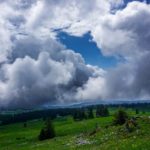 Next Post