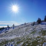
The town of La Chaux-de-Fonds is in a depression that extends from the Col des Roches to the old mills. To be more precise, it is required to speak of two depressions since at the oro-hydrographic level, the basin of Le Locle is separated from the basin of La Chaux-de-Fonds by the fact that they feed two different rivers. From Le Locle flows the Bied (which is further called the Rançonnière) and from La Chaux-de-Fonds, the Ronde. An elevation extends to the north along these two valleys. This is the one on which is the highest point of Pouillerel and which ends by plunging towards the Col des Roches. The proximity of the two cities and the reasonable height difference makes it a privileged destination for a short stroll. In addition, the view extends beyond the ridge of Mont d’Amin and Mont Racine, and therefore allows one to contemplate the peaks of the Alps.
Departing from La Chaux-de-Fonds, one starts by reaching the Bois du Petit Château, a mecca for children since a zoological park is located there (as well as recently the natural history museum). During the day, it is worth crossing it instead of following the rue du Haut des Combes. Above the park, one then enters a small valley which leads higher up to the road leading to Pouillerel. By following this road, it does not take long to reach the bed and breakfast of the Ferme du Sommet de Pouillerel. Just after the farm, instead of following the paved road, one must take a dirt road that allows one to reach the actual summit. A geodesic signal marks the summit of Pouillerel, and an orientation table is located a little below.
From the summit, one can then follow a well identifiable path on the ground allowing one to reach La Sombaille. Beyond this house, one crosses a bit of pasture along a succession of very marked sinkholes, before entering the forest. A little further on, the path continues through the forest, but along its edge. It does not take long to reach the well-known Maillard farm where hot and cold drinks are available practically throughout the year… a small box allowing you to pay one’s due. It is also interesting to note that many speak of “les Maillard” (plural) and not “le Maillard”.
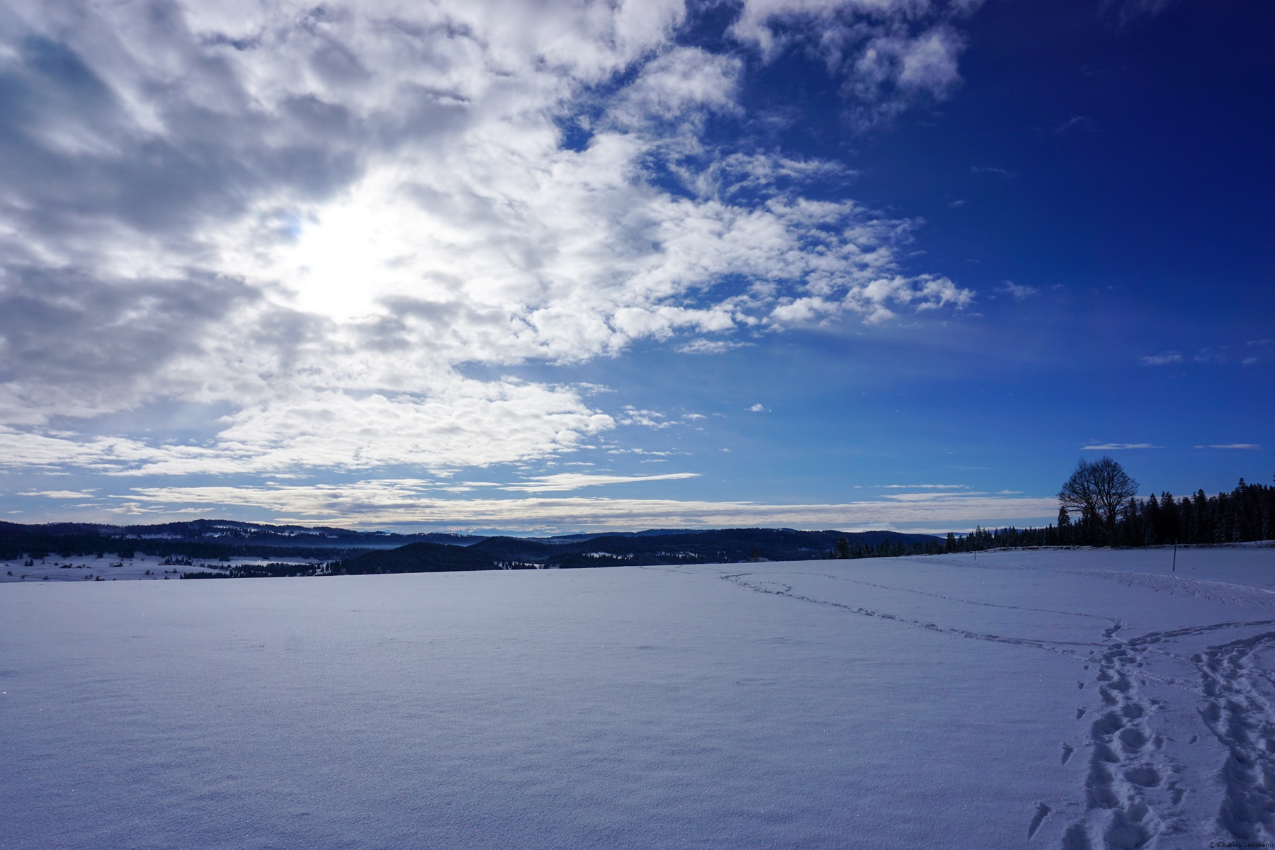
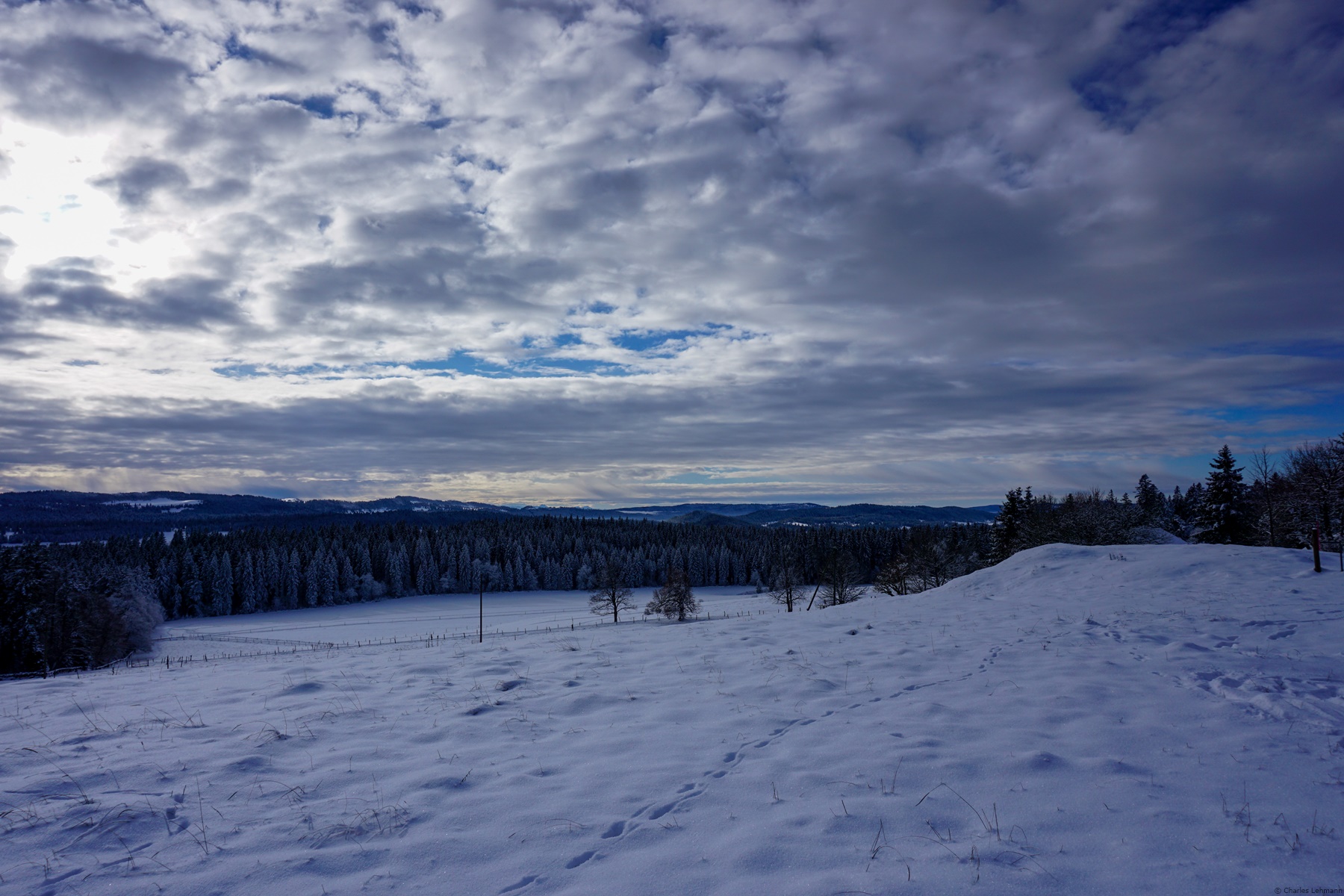
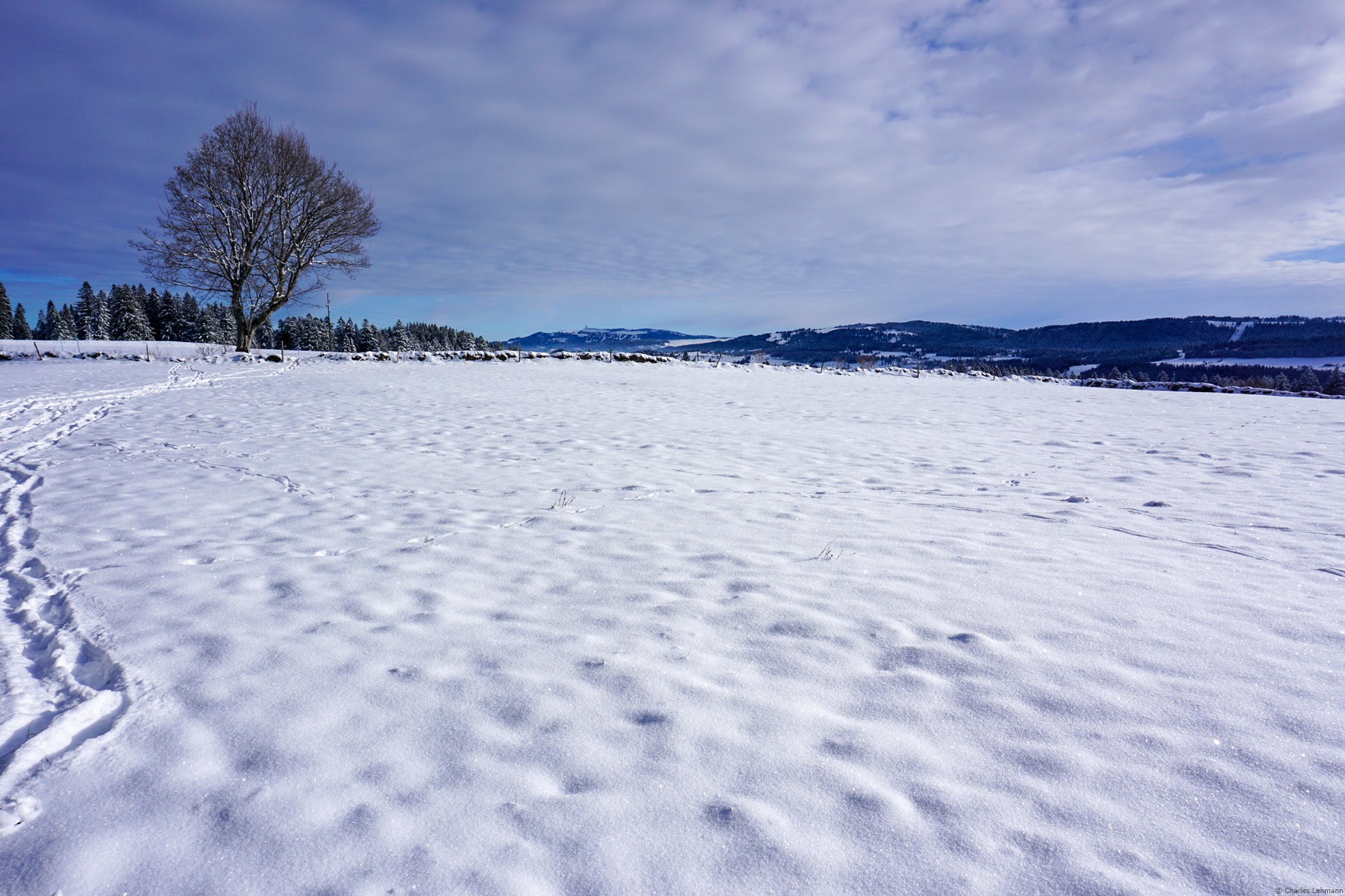
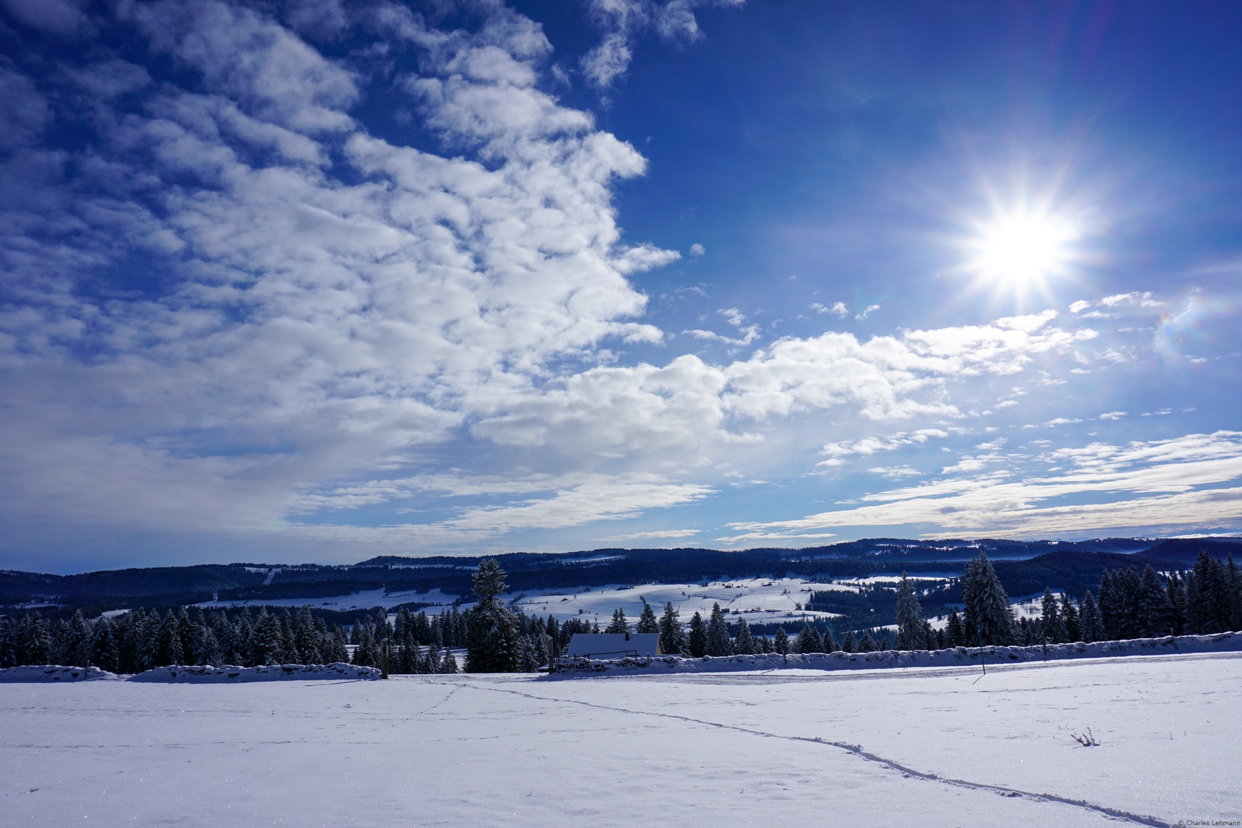
Beyond the Maillard, after leaving the forest and crossing a dry-stone wall, one enters a completely open pasture. The marked path runs a little below the mound and descends in the direction of Galandrue. This course is very regrettable, because one has no view, except beyond the Doubs in the direction of France. Therefore, it is advantageous to follow the top of the large bump and pass above the Saignolet. One can then enjoy a view looking beyond the ridge line of Mont Racine towards the Alps.
A few passages are set up in the fences and here and there one finds a small trace that one can follow through the blueberry beds. Even though this trail is not marked on the map, it seems well traveled enough not to lose it.
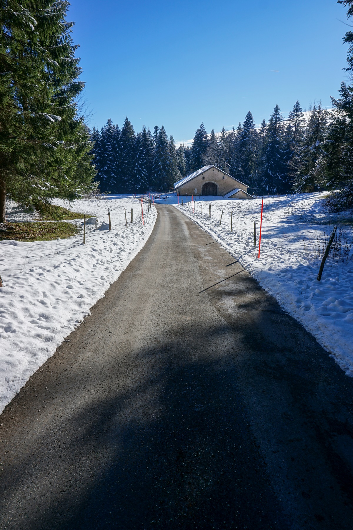
Coming out of the forest, one reaches a semi-open pasture, in which one joins the marked trail running from Galandrue to Beauregard. After a short descent and having reached the Beauregard farm, one enters the forest again to reach a good road. This road then joins the Crêt du Locle via the Haut du Crêt, and allows, further on, to arrive at the Crêt du Locle train stop.
What is appreciable in this “walk” is that by using public transport, both in La Chaux-de-Fonds and for the return from Crêt du Locle, it can be done in a short half-day (count 3h30 in total).
Itinerary: La Chaux-de-Fonds – Bois du Petit Château – Pouillerel – Le Maillard – Beauregard – Le Crêt du Locle
Distance: 10.5km
Altitude gain: 350m
Duration: 3h30


 Previous Post
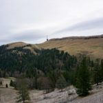 Next Post
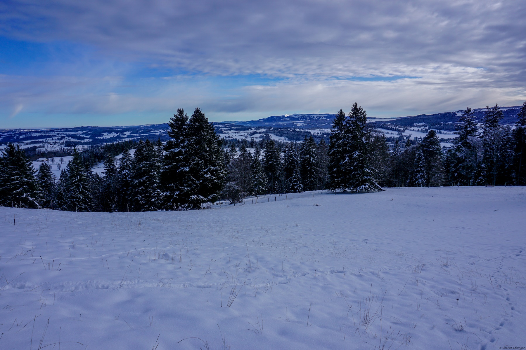