

For this hike, I had decided to change the destination a bit to go to the Gruyère mountains. And I took, with extensions, route 272 to Berra from Valsainte. Indeed, instead of climbing directly from the Chartreuse, I crossed the Javro to climb towards the Balisa.
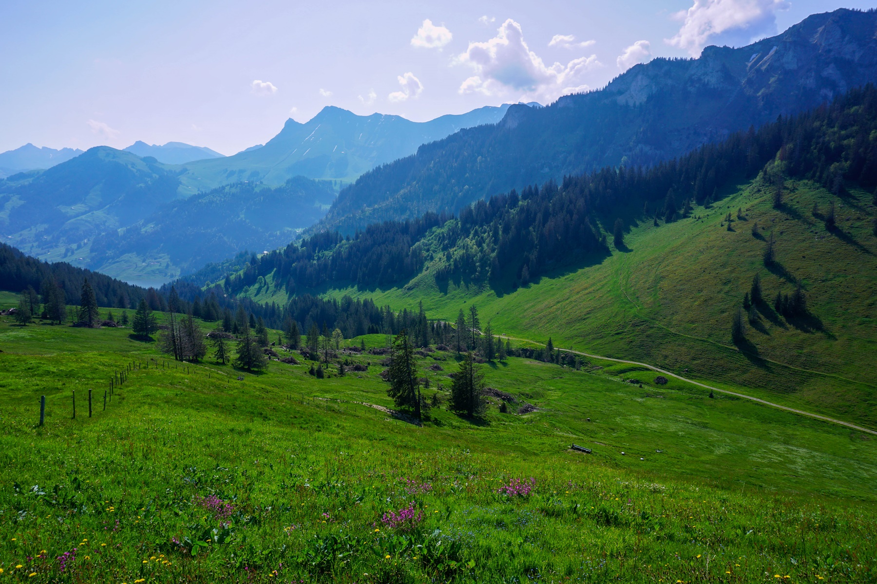
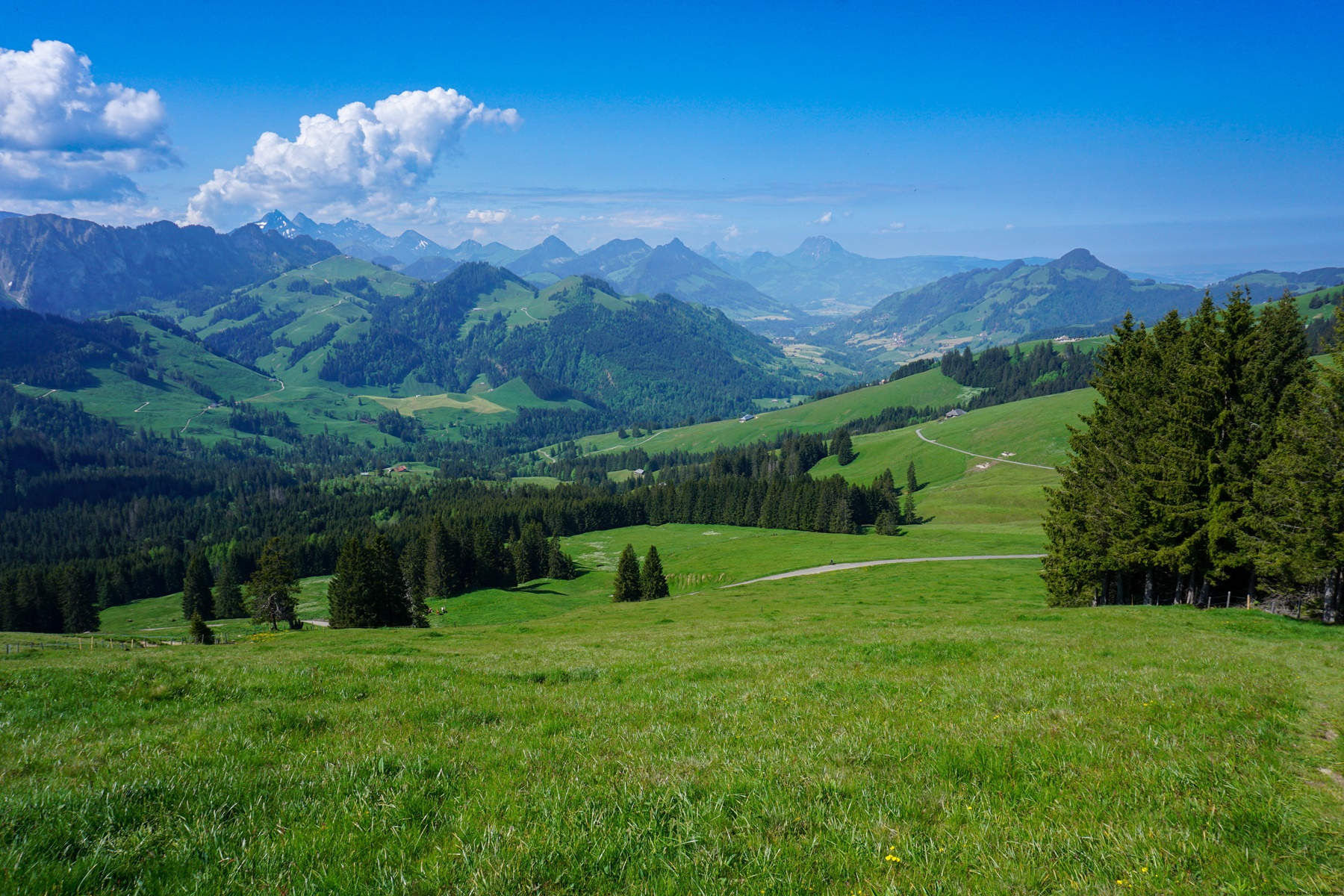
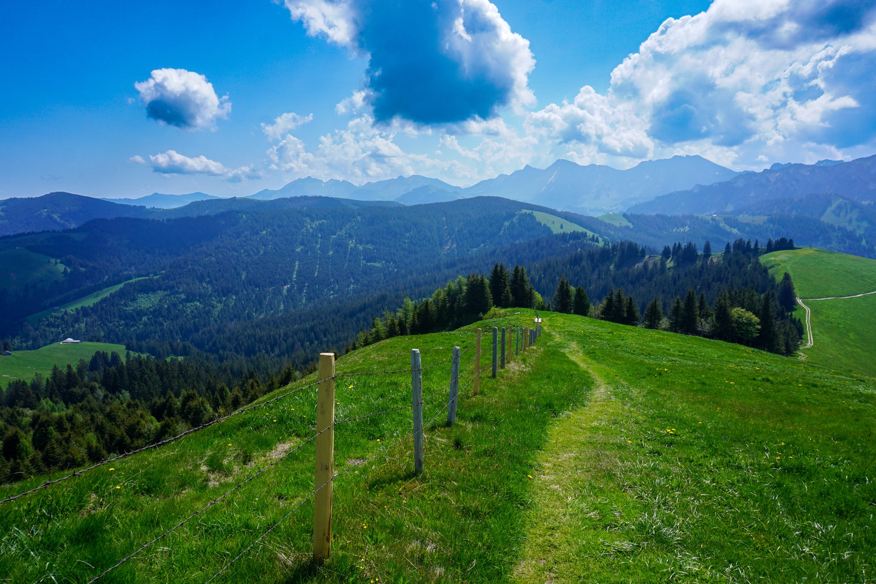
In doing so, I made a journey passing near a lot of places whose names end in “a”. I first went under Pouta Tchivra (the dirty goat) to climb to the Patta via the Balisa and the Magnena. From the summit of the Patta, I descended on the Auta Chia d’Amont to follow the entire ridge to the Berra. Even though the route I had chosen is definitely longer, it provides more interesting views of the Lac Noir and Gantrisch region.
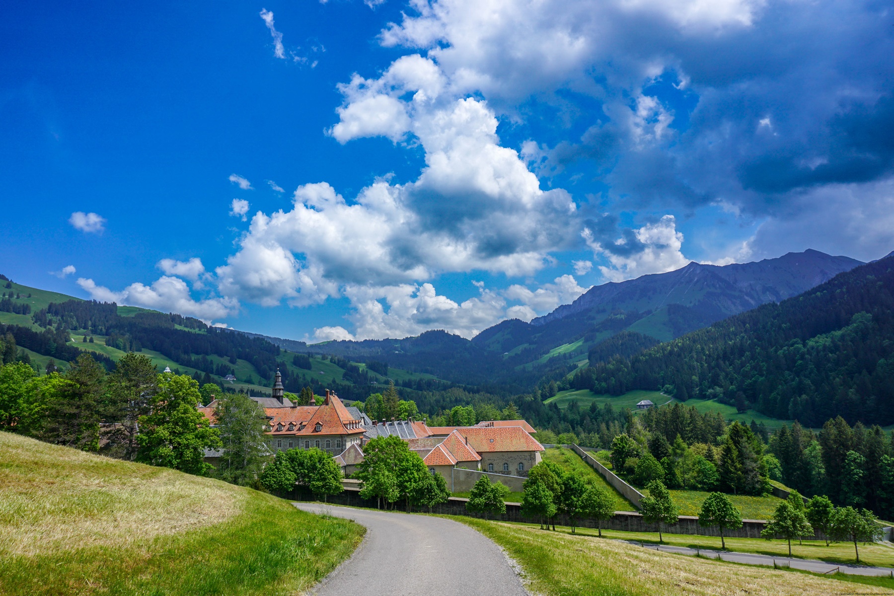
So, I parked my car in the small parking of the Chartreuse. As we were on weekdays, there were no problems finding a place. I imagine that during the weekends in season, parking your car could become very problematic. It would then be advantageous to take the postal bus which, from Charmey, goes up to the Chartreuse de la Valsainte.
Regarding the Charterhouse, its architecture and the layout of the buildings leave no doubt. Indeed, the Carthusian order is a semi-eremitic order where each monk isolates himself to live, contemplate and pray. The result is a particular layout with “cells” for each Chartreux that can be identified as a maisonette. Thus, we often see an alignment of small houses integrated into the complete building of the convent.
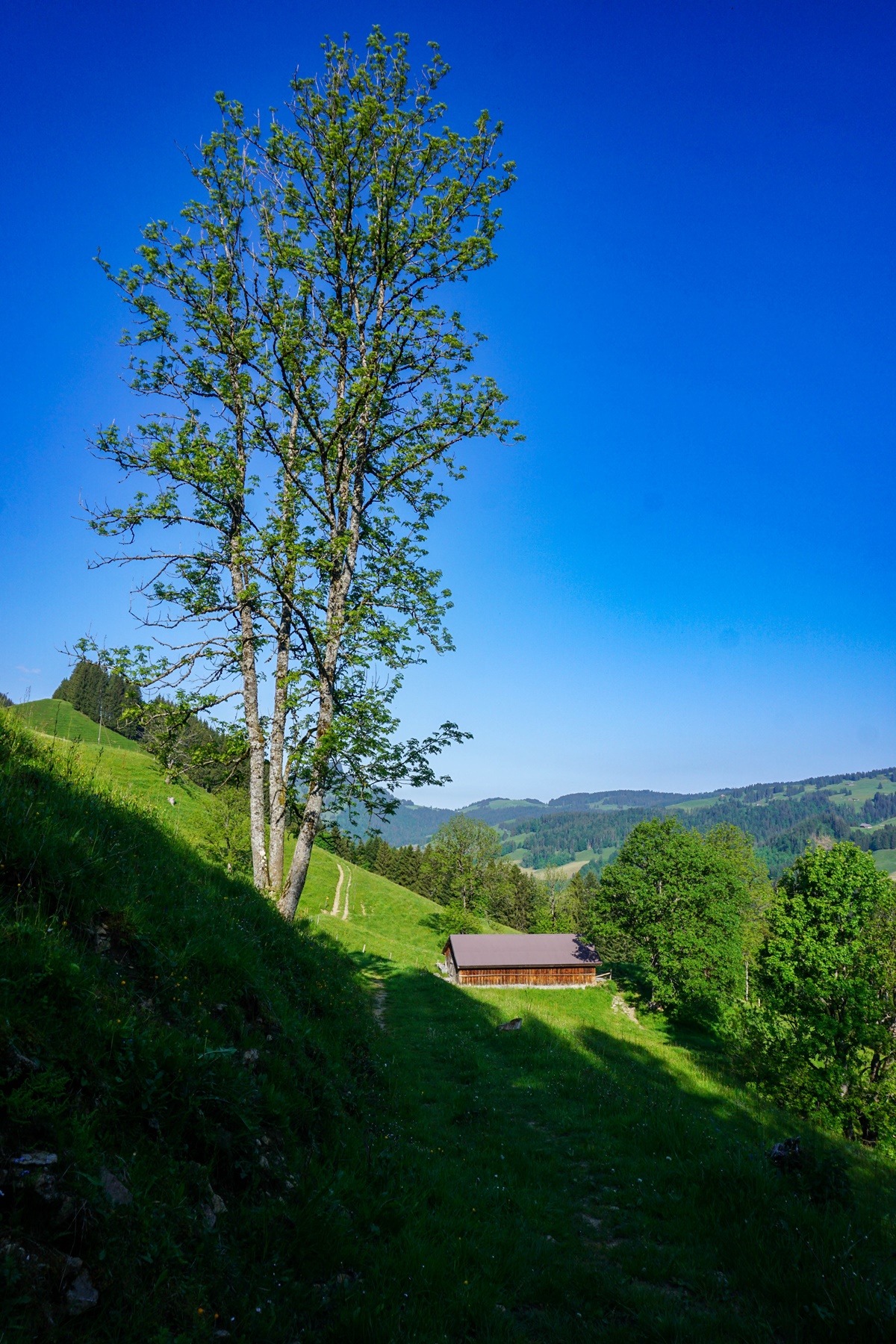
Going up to the Balisa, you must cross, under the Grattavache chalet, a small stream. You must be very careful about it. Indeed, the blocks, when wet, have an extremely slippery coating of algae. I paid for it.
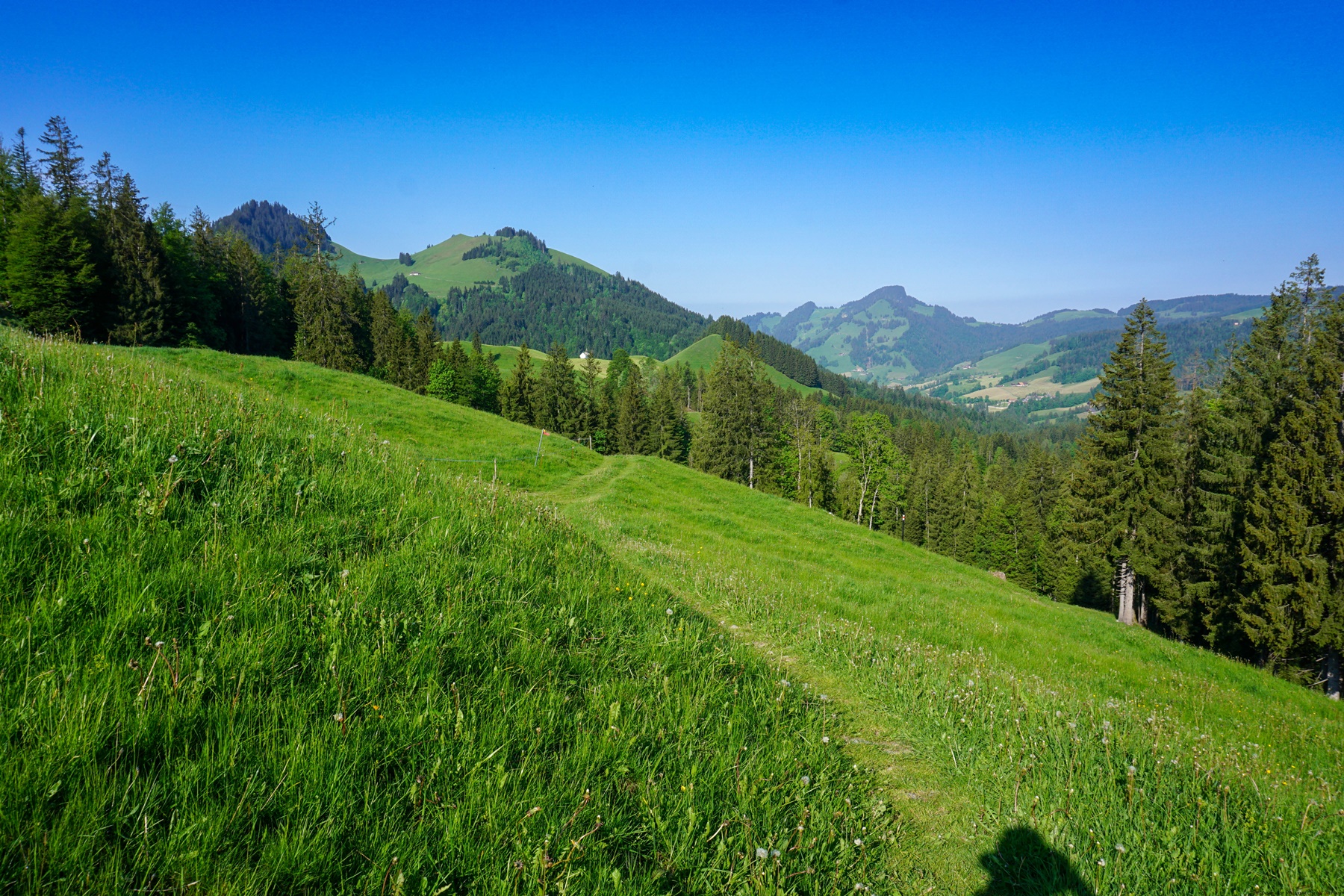
As you go up to the Patta, the view becomes wider and wider. You will notice opposite, on the Fuchses Schwyberg, a small construction located at the top. There is also a curious trace rising to the top. This is what remains of the ski lifts that were built in 1976 and which allowed skiing on these slopes. The chairlift then started not far from Schwarzsee-Bad and we recognize the departure station very clearly. All facilities were dismantled in 2009.
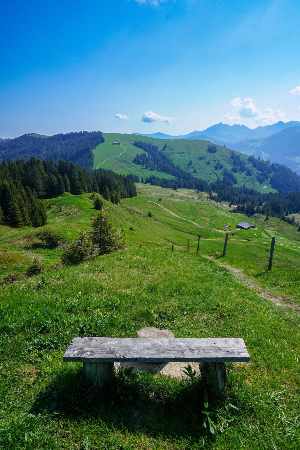
In the descent of the Patta, we can see what happens next: we will hike along the ridge to the Berra. We then see the geodesic signal in the distance. It’s quite long, but very varied. Arrived at the top of the Berra, one enjoys a panoramic view of the Swiss plateau and the Prealps. Orientation tables are there to identify the surrounding peaks.
The descent from La Berra is a little less enjoyable, at least until the Gîte d’Allières. Indeed, we follow a steep dirt road that is very rugged in places. It is only above Les Botteys that you find a real footpath. This passes through the Cierne farm before returning to the Chartreuse. The toponym of Cierne corresponds to the name of Schwand found in German-speaking Switzerland and it designates the way that was used to clear the land. For a Cierne, a ring of bark was removed from the trees which were withering away in this way. The advantage is that the wood dried on the stalk, and it was easy to cut down the trees after a while to be able to use them immediately for construction.
Itinerary: Chartreuse de la Valsainte – Grattavache Dessous – La Balisa – La Magnena – La Patta – Auta Chia d’Amont – La Berra – Gîte d’Allières – Les Botteys – La Cierne – Chartreuse de la Valsainte
Distance: 18.7km
Altitude gain: 1080m
Duration: 6h30
 Previous Post
 Next Post