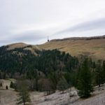
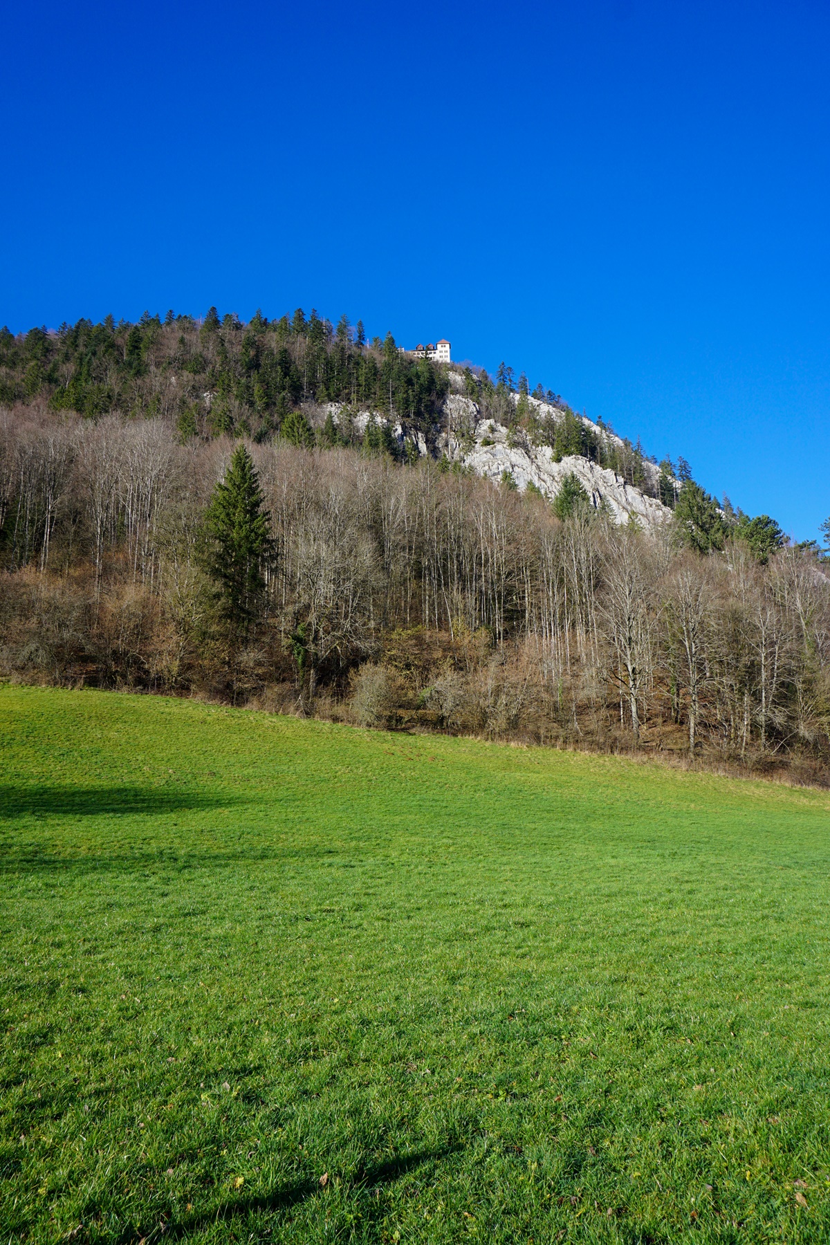
When one drives up Val de Travers, one will not fail to notice in the distance a curious vertical line surmounted by a building. This place is inside the separation of the Val de Travers into two valleys: that of Buttes and that rising to Verrières. From a distance, it is not clear what the vertical line is made of. It is a limestone spur rising to the top of Napoleon’s Hat.
I thought it would certainly be an interesting destination for a hike. In addition, there is the possibility of extending a little and visiting mythical places in the region.
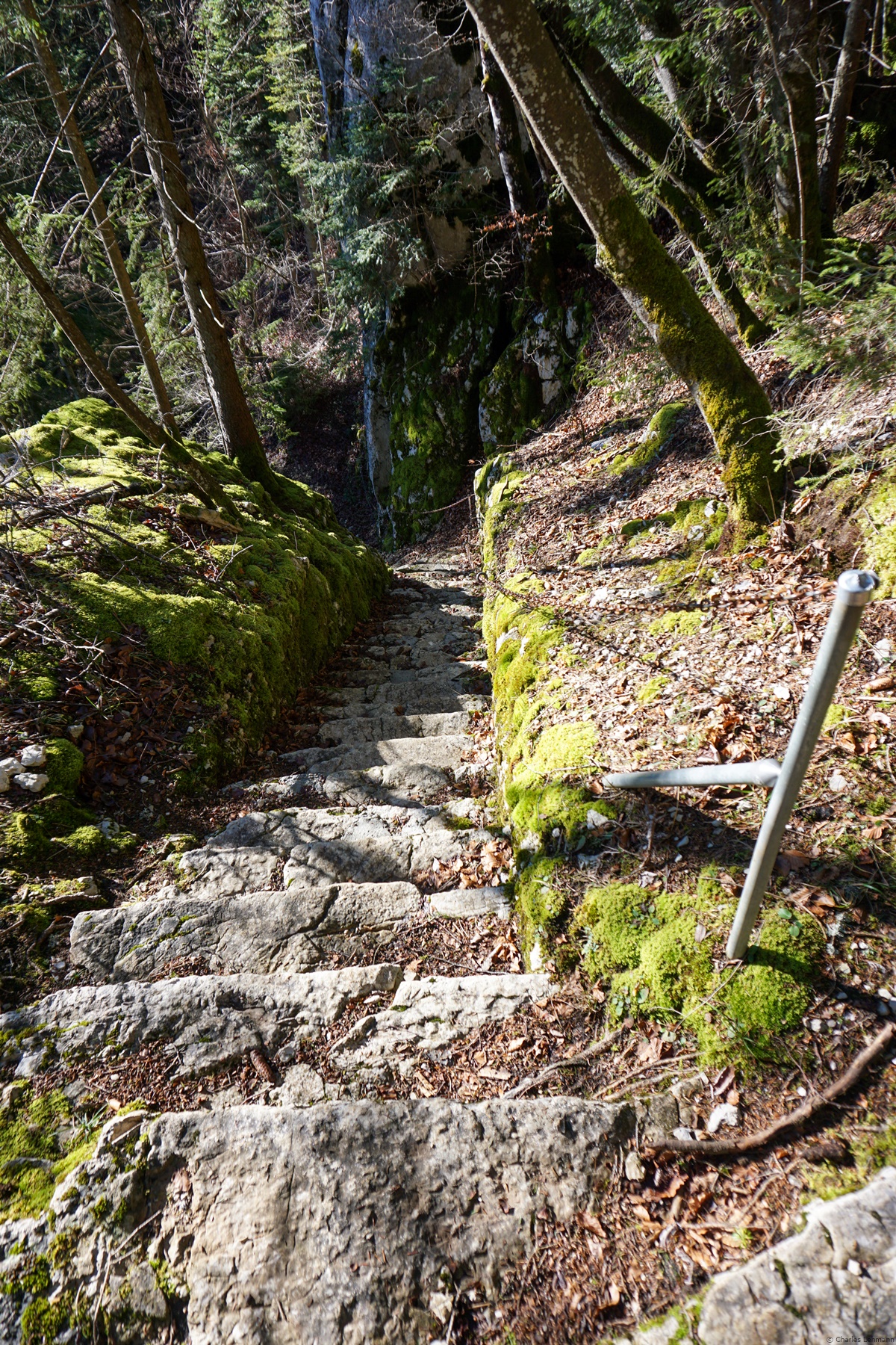
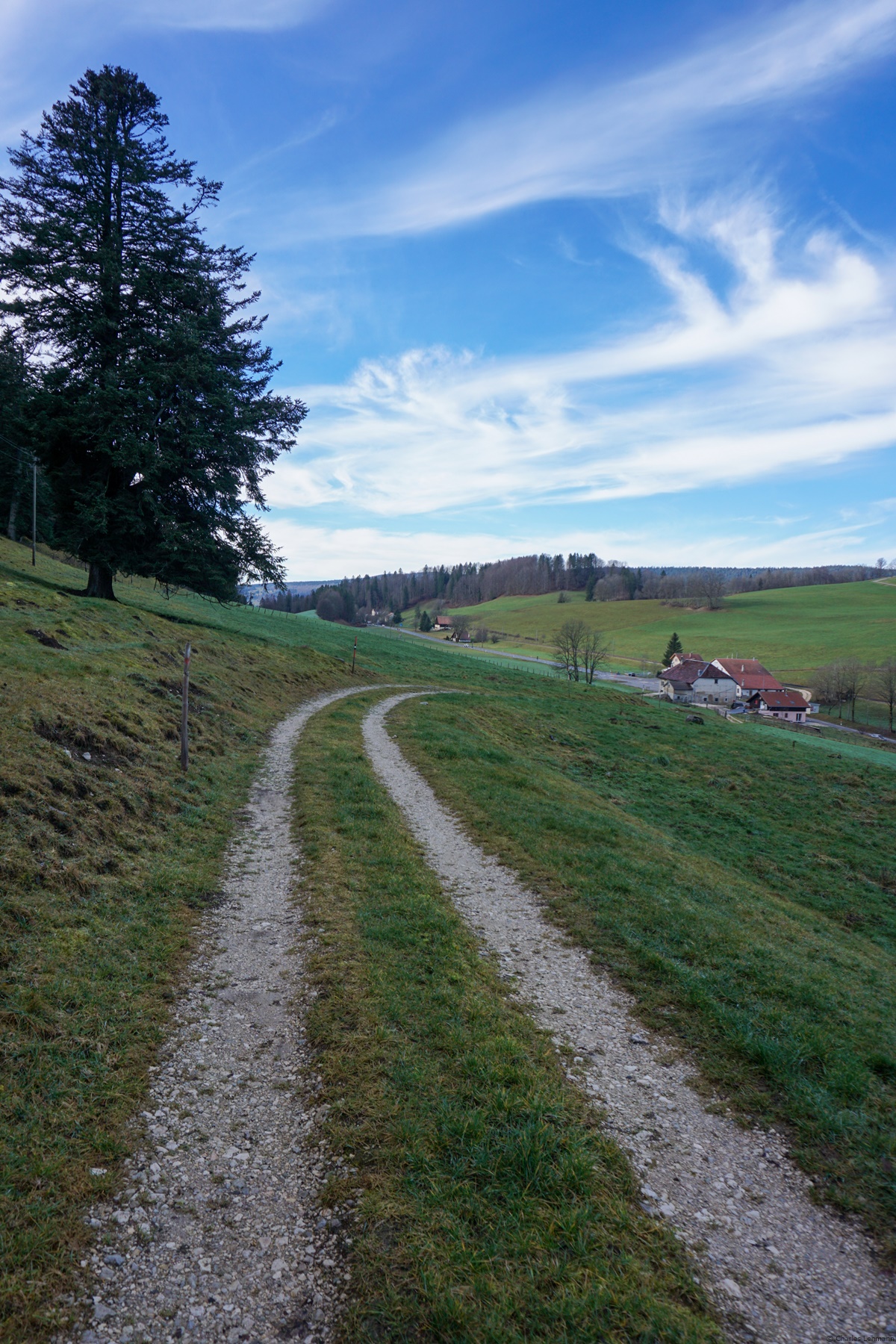
From Fleurier, it is a question of winning Napoleon’s Hat. There are no real difficulties, it is very well indicated. However, make no mistake about it: it starts very steep right away, which is a bit harsh, especially when one is still cold. Higher up, when the trail starts to switchbacks, the slope of it decreases a bit and the climb becomes almost pleasant. Despite the yellow markings, there are a few small passages through the rocks. Of course, steps are cut there and chains are available, but these passages could cause problems for those who are not really used to these passages.
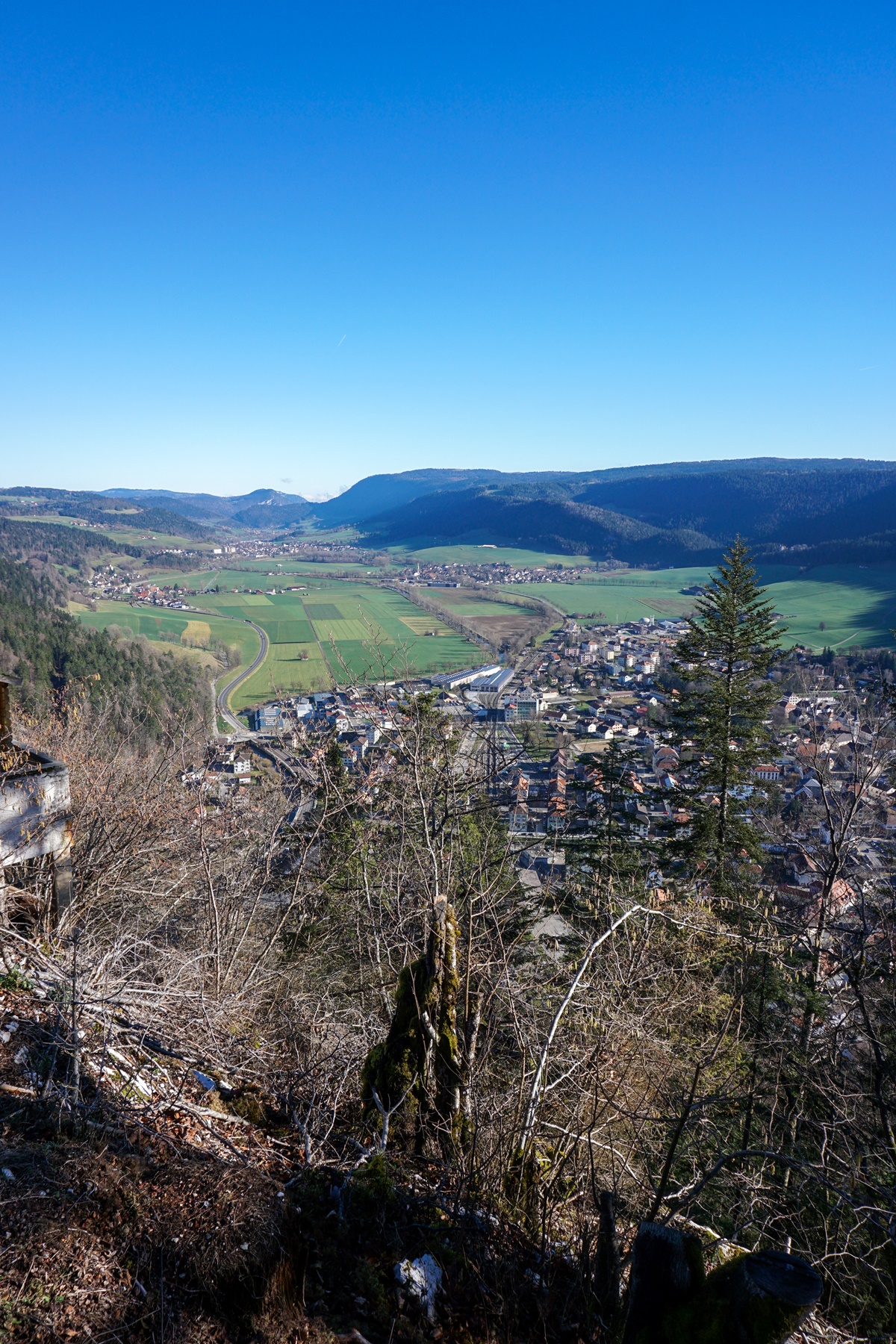
After the climb, one emerges above the esplanade where the building of the Chapeau de Napoléon is located. This is an old restaurant that has since recently been transformed into a watchmaker’s workshop (there must be a worse situation to work in). Anyway, neither the car park nor the terrace are accessible to enjoy the view. For the view, one must climb a little bit to reach the Belvedere. There is a view, but it should not be the one could have from the old restaurant.
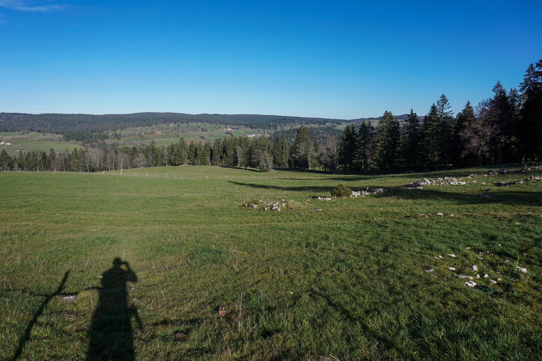
Beyond, we continue to climb on a ridge which becomes less and less steep. It is when approaching Chez le Banderet that the path flattens out noticeably. If one decides to follow the route, one should take a good look around oneself, the pastures are frequented by chamois. From Chez le Banderet, I climbed a bit more to the Chez Juvet farm, before following a good path down towards Vers chez le Gros. The descent towards the Haut de la Tour was done along forest paths. The problem is that they had recently done some skidding and the path became very muddy.
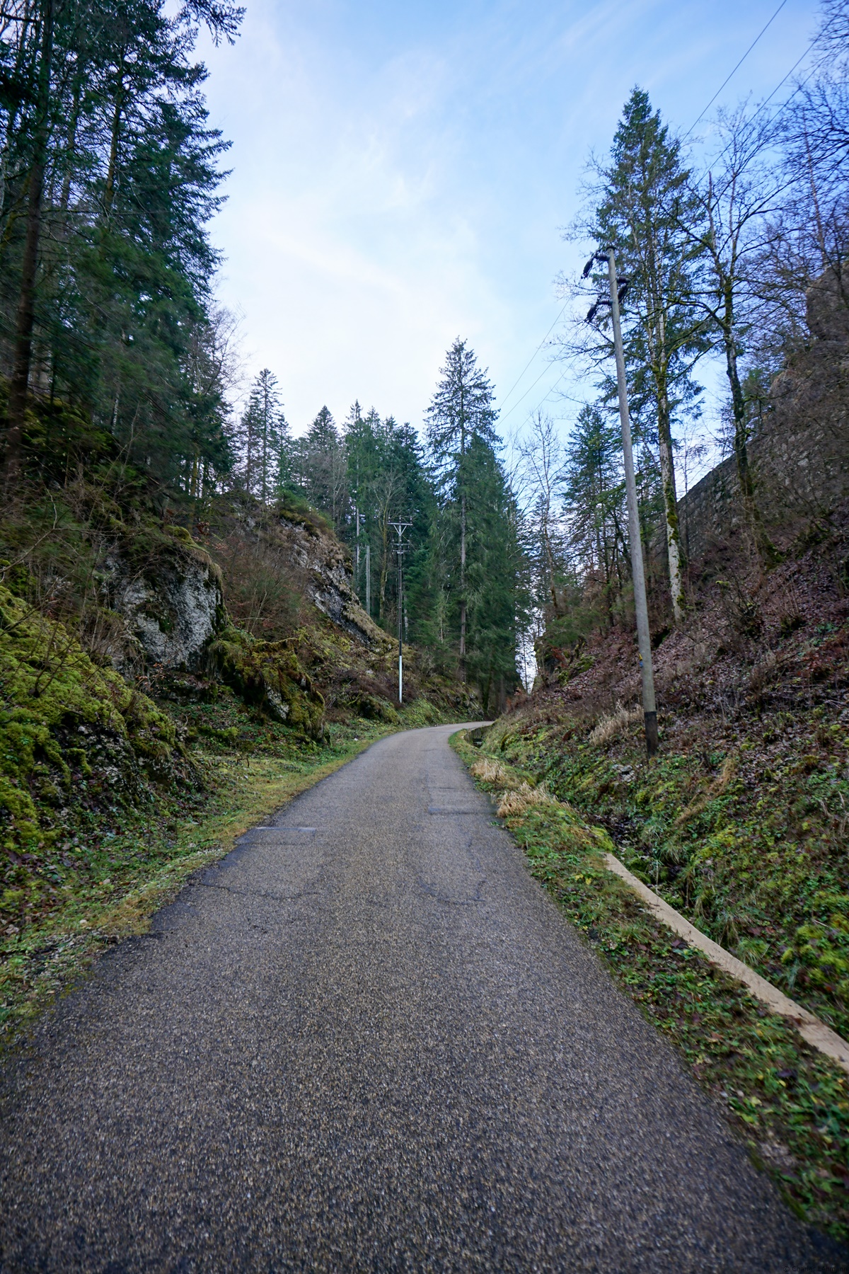
From the Haut de la Tour, one descends along the old path leading to Saint-Sulpice. One will not fail to notice a piece of chain sealed in the rock with a date: 1475. This is a barrier that had been erected at that time to deter an invasion from Burgundy. A piece of chain is on display at the museum in Fleurier. This place is indicated as “Barrage Fortifié Tour Bayard” on the topographic map.
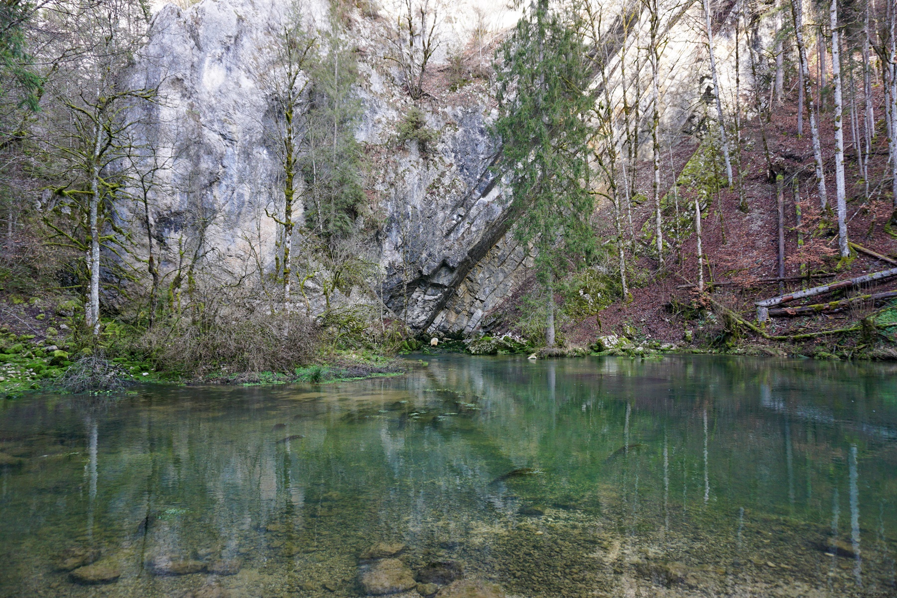
Further down, the marked trail leaves the asphalt road to descend directly to the Source de l’Areuse. The place itself is worth a visit because, at the foot of an imposing wall, one can see the water coming out which must have seeped through the limestone a little higher. I can imagine that in the hottest part of the summer, places must be expensive at the edge of this body of water. Even Jean-Jacques Rousseau had been there and described his adventure.
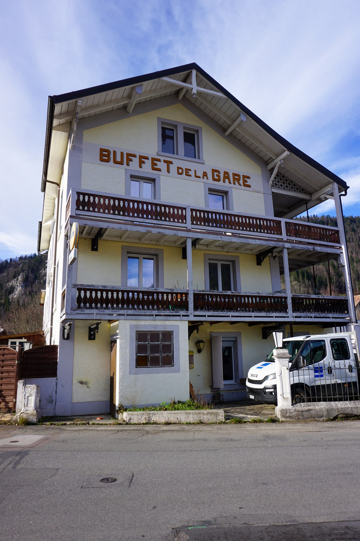
Further down, it does not take long to enter the village of Saint-Sulpice. One will probably be surprised to see a building there with a “Buffet de la Gare” sign. Looking more closely, one sees that a railway line still exists between Fleurier and Saint-Sulpice. When one notices that until the 1970s there was a cement factory in Saint-Sulpice, one better understands the presence of the tracks. However, the Buffet de la Gare building seems much older.
Itinerary: Fleurier – Chapeau Napoléon – Chez le Banderet – Chez Juvet – Towards Chez le Gros – Top of the Tower – Sources of the Areuse – Fleurier
Distance: 10.5km
Altitude gain: 450m
Duration: 4 hours


 Previous Post
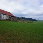 Next Post
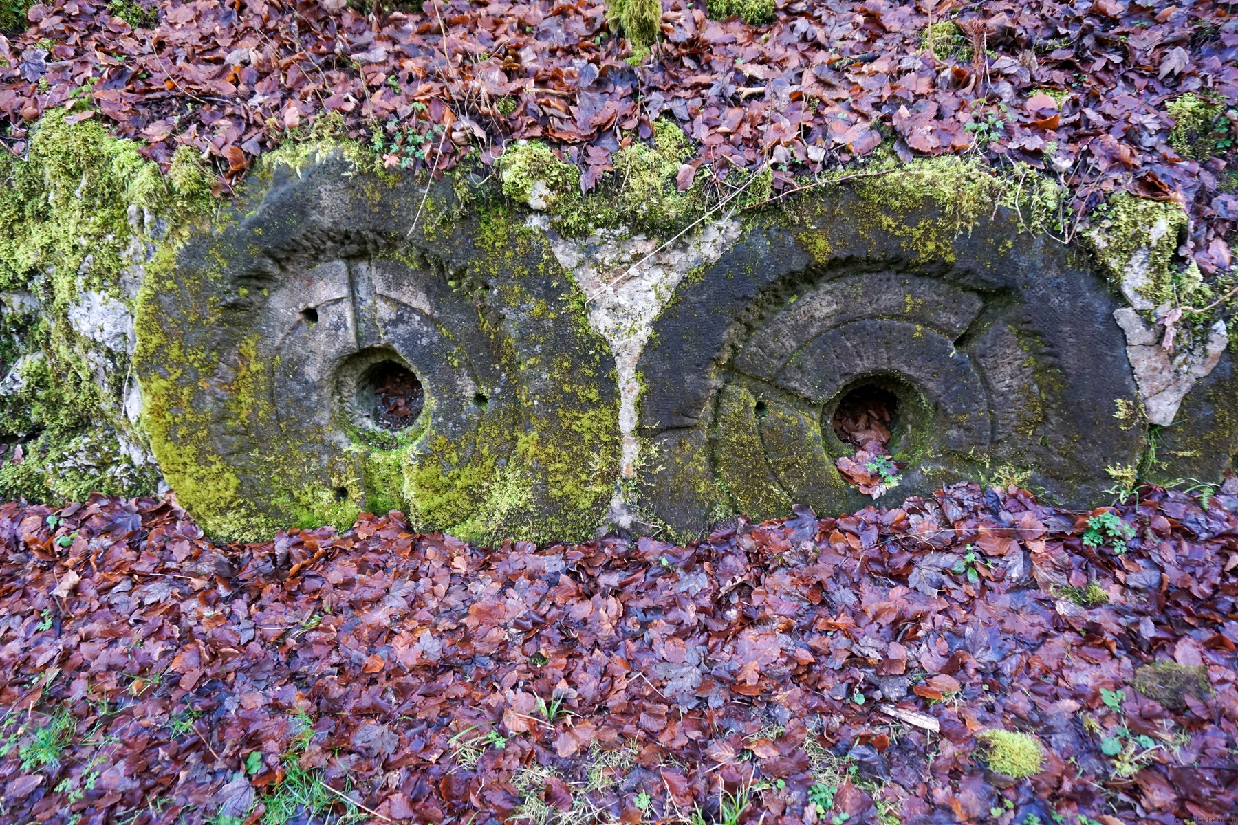
Quad j’étais enfant, il y a 70 ans, j’ai fait une course d’école au Chapeau de Napoléon, et j’ai le souvenir d’un funiculaire. A-t-il vraiment existé, ou je me trompe?
Merci
Bonjour,
J’ai consulté les cartes historiques et il y a nulle trace d’un funiculaire. Mais peut-être pourriez-vous poser la question à l’administration communale du Val-de-Travers.
Meilleures salutations