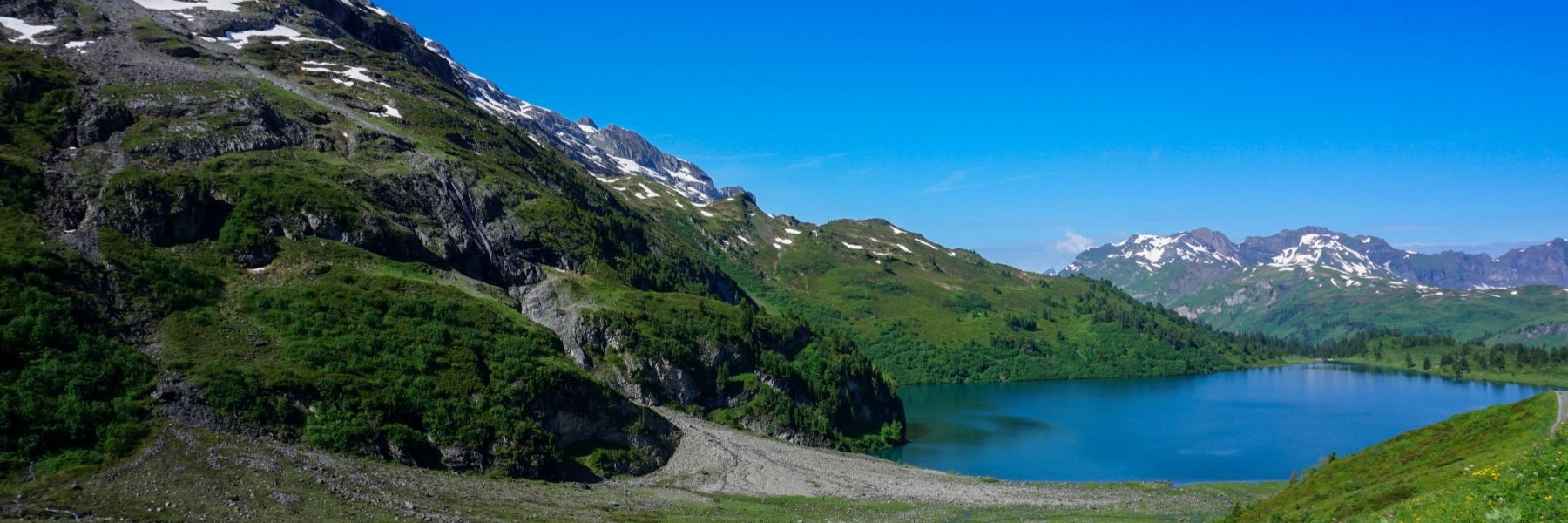
The Brünig Pass is an important passage between the canton of Obwald and Bern. It connects the Lucerne region most directly with localities such as Thun. It is also of historical importance, as recent excavations have uncovered artifacts dating back 11,000 years, in the form of carved flint. These are the oldest artifacts found in the canton of Obwald.
The Brünig Pass is also on the most direct line between Lucerne and Domodossola. Indeed, the most direct route is to cross the Brünig Pass up the Haslital, cross the Grimsel Pass and finally, from Niedergesteln, cross the Griess Pass. It is conceivable that in Roman times, this route was already travelled as the average temperatures were warmer. However, in the Early Ice Age, this route would have been more problematic, with the Grimsel reaching 2164 metres and the Griess reaching 2452 metres. Nevertheless, it is established that it was an important trade route, for the export of Sbrinz.
The start of the hike is at the railway station in Lungern. The place is idyllic and that is why it suffers from overtourism. Hordes of tourists arrive, not always respectful.
From the railway station in Lungern, the first step is to descend, to be able to climb better. Once on the cantonal road, you must pass under the church, behind a carpentry company and the power plant, and first follow a fairly steep forest road. You then arrive at a small pasture overlooked by a rocky head. This is where you must climb stairs carved out of the rock and attributed to the Romans. Then you arrive at a second pasture below the Brünig road. The atmosphere becomes noisier.
A little further up, you cross the road to the pass. It is not always easy to cross, as traffic can be quite heavy. On the other side of the road, the route follows a path that was used for the installation of rockfall protections. As a result, the path is quite rough and difficult. On the other hand, it becomes more pleasant a little higher, when you walk along the foot of the rock face.
We then arrive at Letzi, a narrow place where a protective wall was erected during the wars between Obwaldian Catholics and Bernese Protestants. Shortly afterwards, we descend a little through the pastures of Brünig to reach a small marsh called Sewli (the small lake, which was the case when we crossed).
One more effort and it wasn’t long before we reached the pass, not without having to follow the road for a short while, which was not a very pleasant experience in view of the traffic.
To descend from Brünig in the direction of Meiringen, we decided to descend to the hamlet of Brünigen and return above the walls of Schwendlen. Along the trail, a viewpoint (indicated by signs) is worth a detour. The fork is just before the descent to the bottom of the valley. At the bottom of it, you can then follow the river Aare for a long time before reaching Meiringen train station.
Route: Lungern – Brünig – Sewli – Brünigpass – Brünigen – Schwendlen – Meiringen
Distance: 14Km
Altitude gain: 500m
Duration: 4h30
