I told myself that for once, I could undertake one or two stages of the track to Saint Jacques de Compostela in Switzerland. For that, I focused on the stage between Fribourg and Romont. As the stage is relatively long and initially crosses the suburbs of Fribourg, I thought it would be better to start from Villars-sur-Glâne. Thus, one immediately begins to walk in nature.
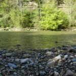
Going down from Villars-sur-Glâne one reaches the Sainte-Appoline bridge which spans this river. This bridge is magnificent because it is partly made of a block of limestone tuff and its construction probably dates to the 16th century.
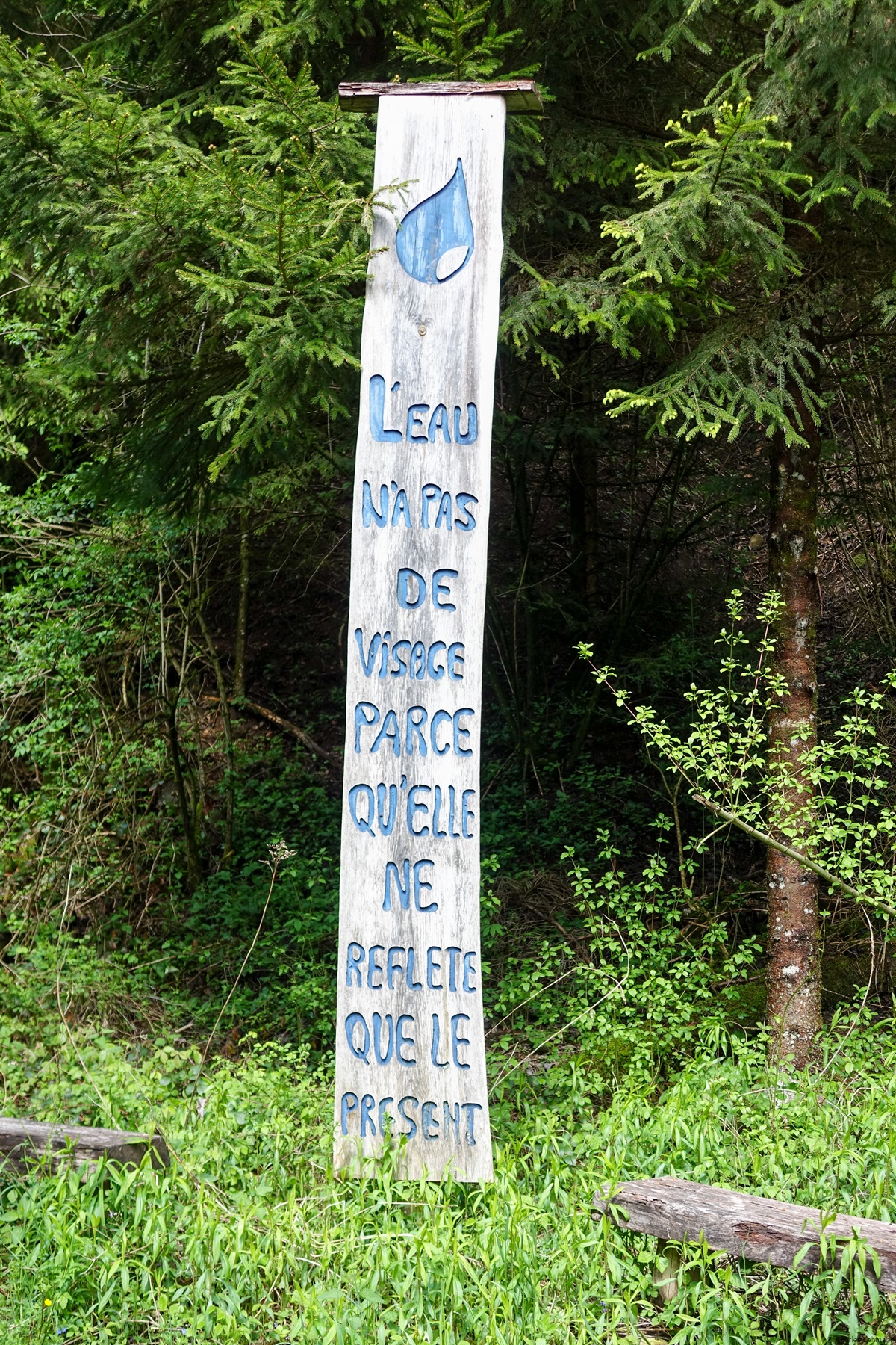
After crossing the Glâne, the path leaves the valley of the Glâne, heading up towards the Bois de Monterban. Here again, one follows a historical path partly in hollow way.
When one leaves the woods, the atmosphere becomes a little more urban as one crosses the two villages of Posieux and Ecuvillens. These two villages are separated by the highway crossing. I wonder if this highway would have been traced the same way if it were to be built now.
After Ecuvillens, the homonymous aerodrome requires a long detour to reach the woods. After the woods, one descends towards Posat, a village below which one crosses the Glâne again on a small pedestrian bridge. On the other bank, it does not take long to reach the village of Autigny before descending to the banks of the Glâne near the confluence with the Neirigue. After the bridge, one goes up again in the direction of Chavannes-sous-Orsonnens. From this village, the route follows paved roads that are not closed to traffic. One is therefore sometimes hampered by traffic.
At Planchevret, one leaves the valley of the Neirigue to go over the hill and arrive near Romont. It is then worth making the detour to the Abbaye de la Fille-Dieu, because the buildings are extraordinary.
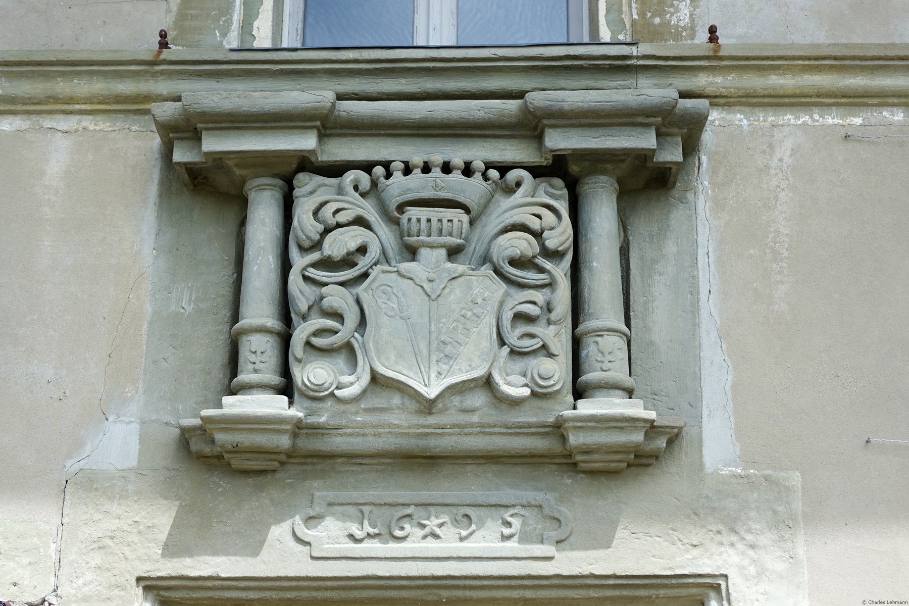
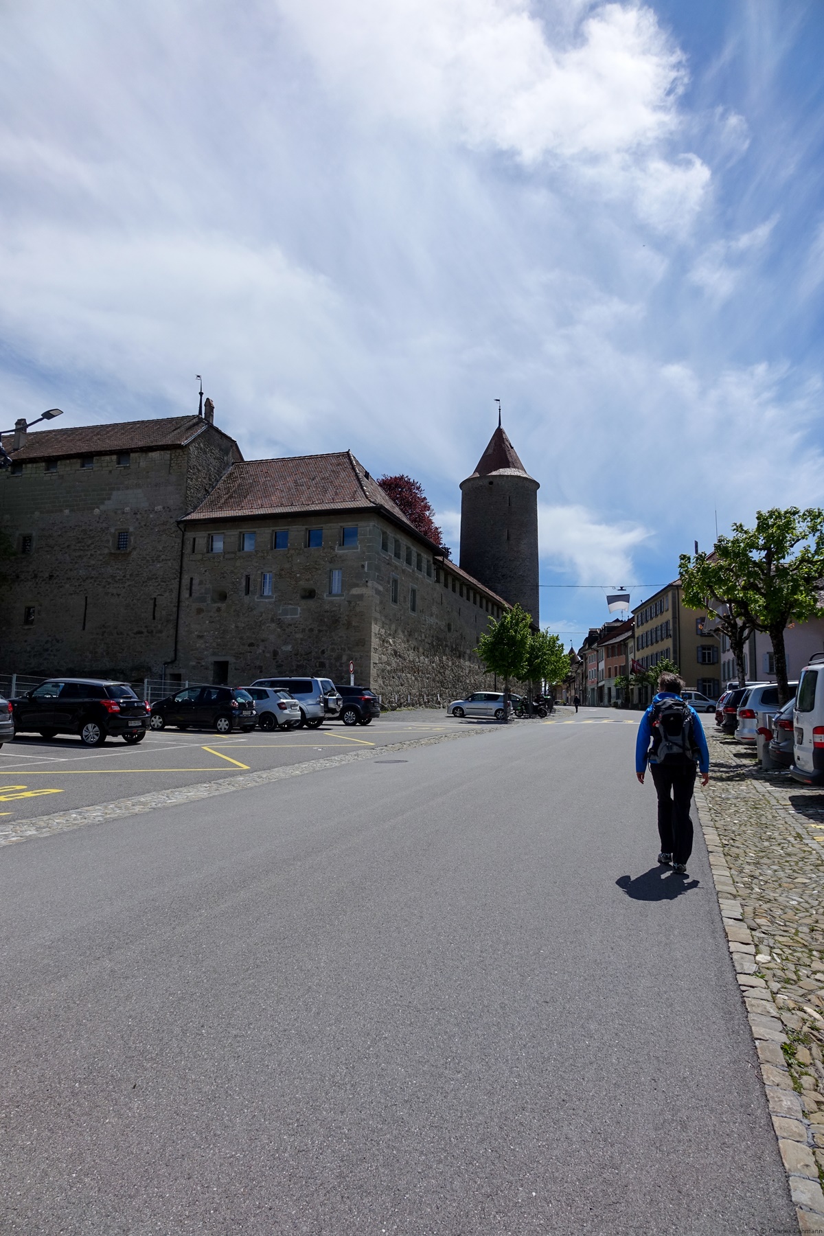
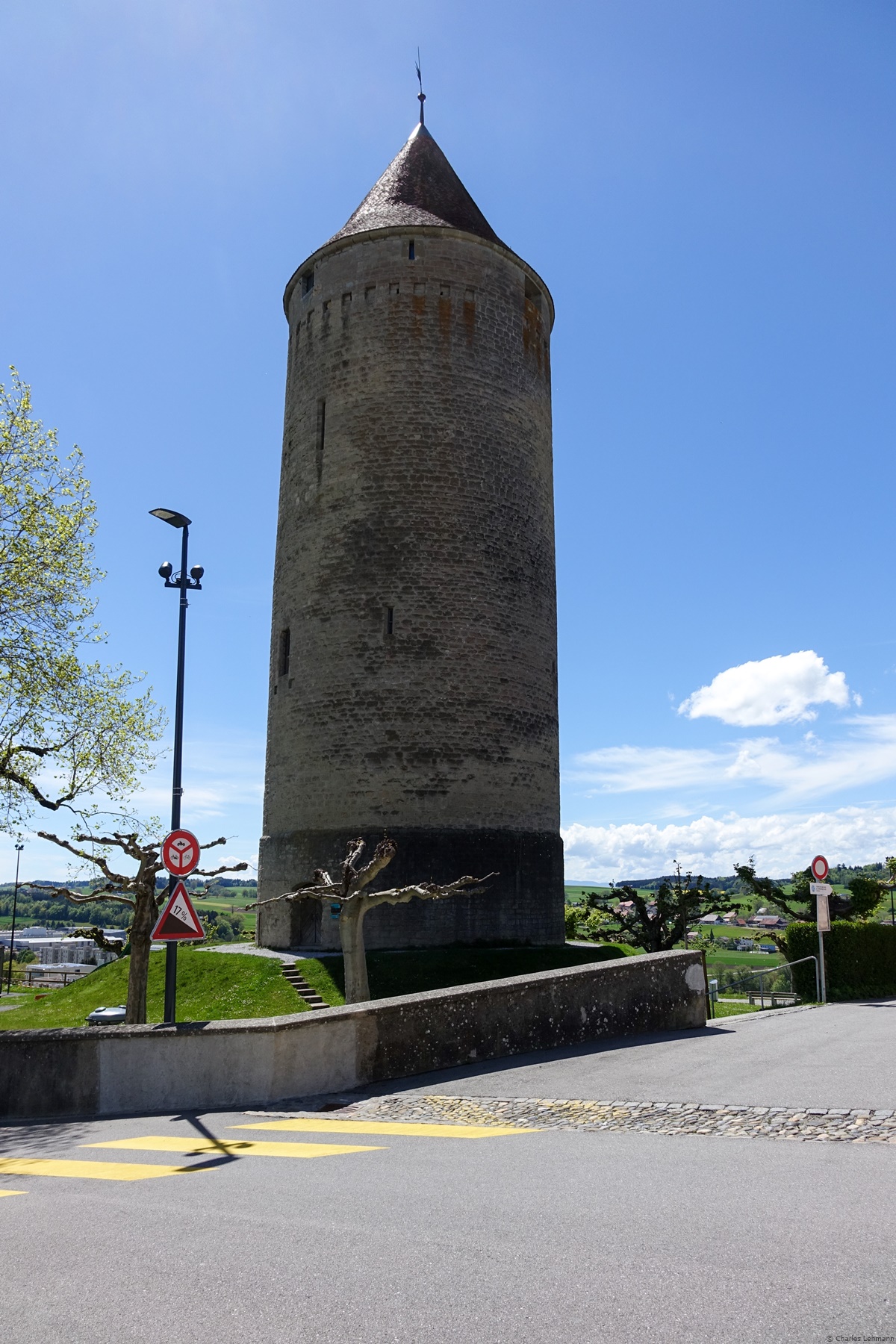
Another small climb and one reaches the magnificent medieval city of Romont. It is then worth going to take a quick look at the castle and the various historic buildings. Going down towards the station, one then passes in front of the majestic Tour du Boyer. It is the one that can be seen from afar, as it is isolated from the rest of the ramparts.
Itinerary: Villars-sur-Glâne – Posieux – Posat – Autigny – Chavanne-sous-Orsonnens – Planchevret – Romont
Distance: 25,5 Km
Altitude gain: 550 m
Duration: 6h


 Previous Post
 Next Post
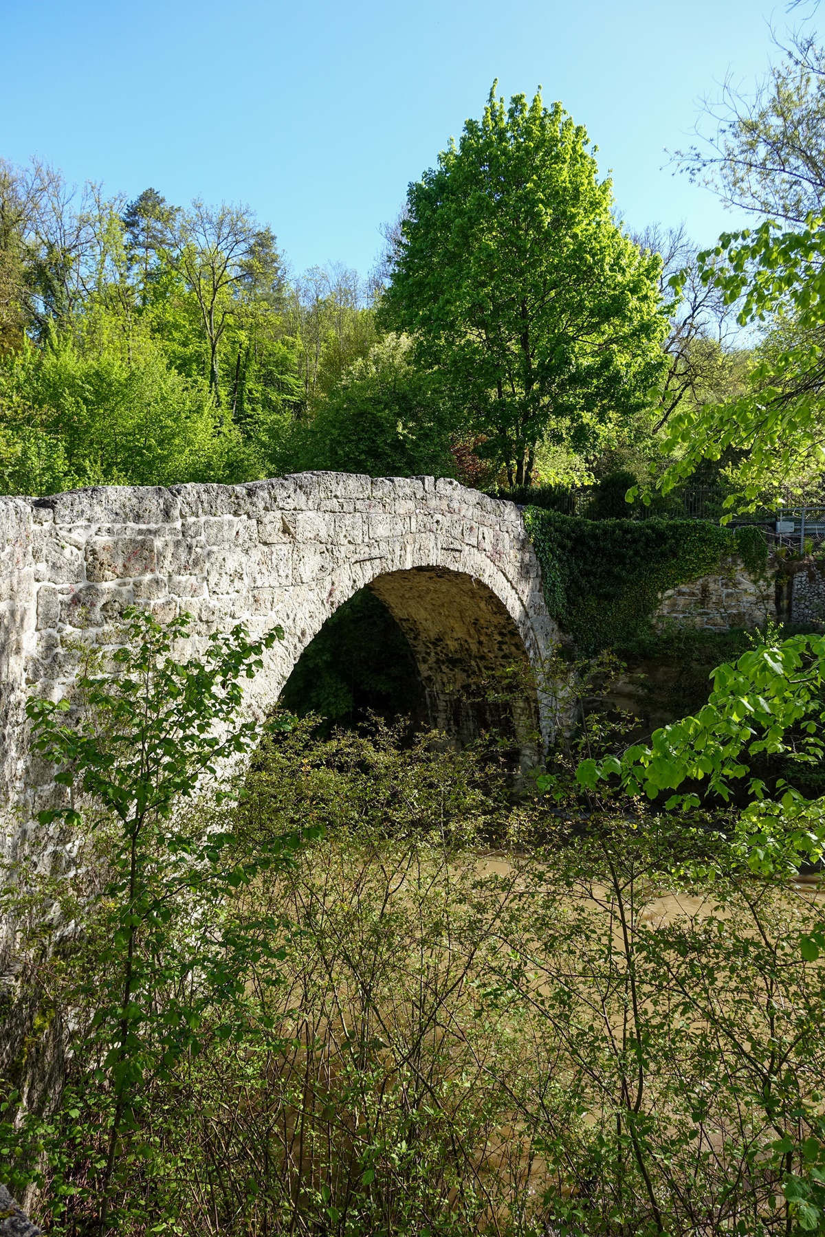