This is a hike with beautiful contrasts and views that are as unusual as magnificent. Indeed, the bottom of the Sagne and Ponts Valley has the appearance of a flat plain surrounded by two steep slopes. This configuration comes from the fact that the entire valley floor is filled with peat resulting from the presence, during the Quaternary, of a lake which must have been quite extensive. Moreover, this peat had been extracted to serve as fuel.
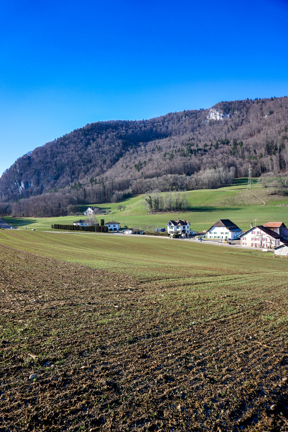
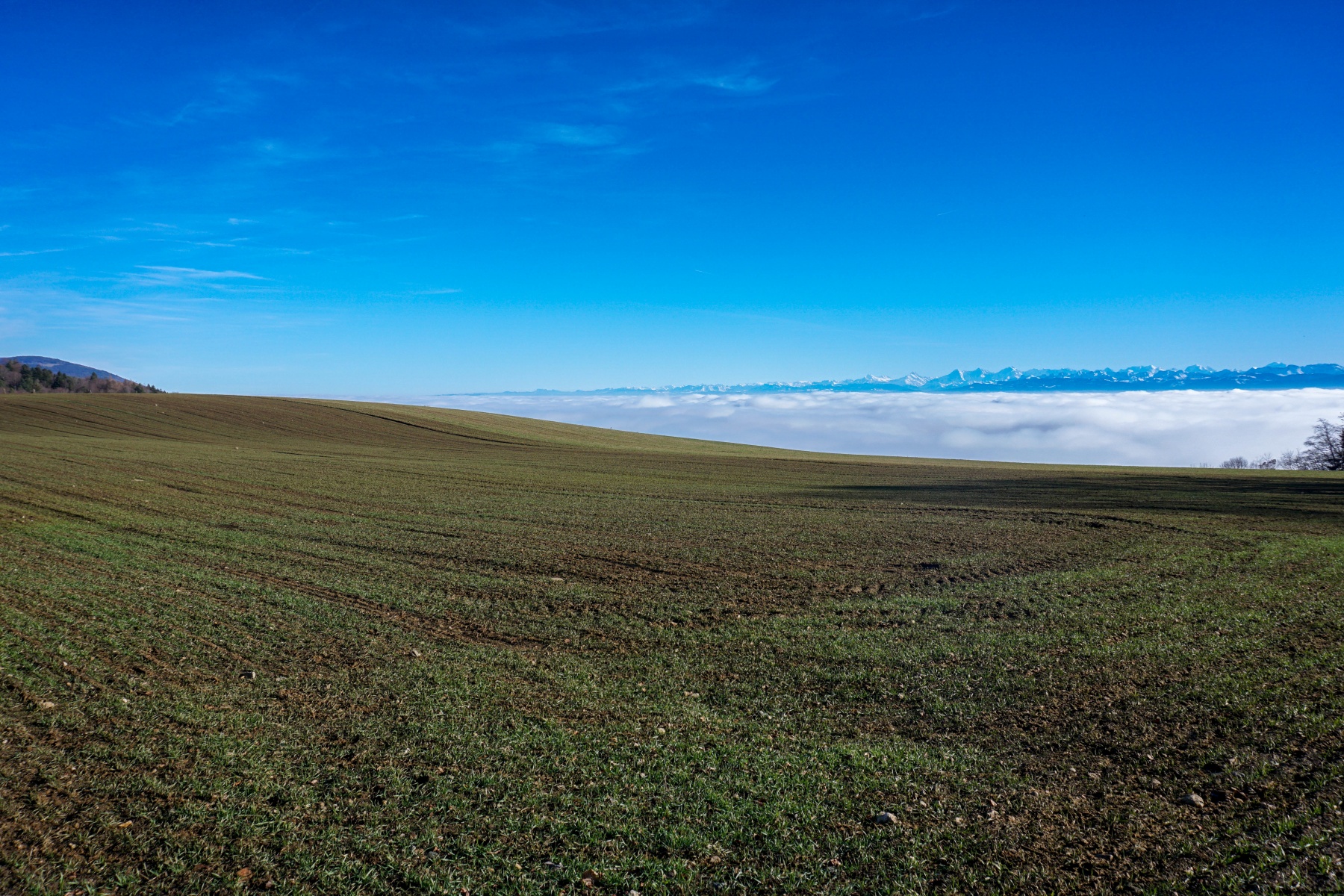
As soon as we leave the bottom of the valley, the landscape changes completely and we move into pastures in which we find, here and there, chalets and even houses. Further on, once you have passed the last meadows, it doesn’t take long to reach the edge of Val de Travers. You can then enjoy the view that reaches beyond the Swiss Plateau towards the Alps.
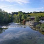
From the terminus of the Les Ponts train, you must first follow the road, which is quite busy between Les Ponts-de-Martel and Les Petits-Ponts. A sidewalk is certainly present, but the fact that a large section is not speed-limited makes the moment a little unpleasant. Unfortunately, there are no real alternatives. A possible alternative would be to follow the marked trail along Le Grand Bied. This variant would allow you to pass near mineral water springs. But we would then reach Brot-Dessus, which requires a detour and would not eliminate having to walk a bit along a busy road.
Once Les Petits-Ponts is reached, one must follow the Col de la Tourne road for a short while before climbing through the woods to reach Combe des Fontaines. At this location, you have the choice between two directions according to the signposts. However, you should not trust them too much. Indeed, if you blindly follow their direction and wish to go down towards Chambrelien, you are forced to follow a good stretch of the paved road of the Col de la Tourne. Consequently, it is more appropriate to follow the direction of the Grande Sagneule to reach a basin located after the Combe des Fies. In this basin we will then find several bifurcations, including one allowing direct access to the Col de la Tourne.
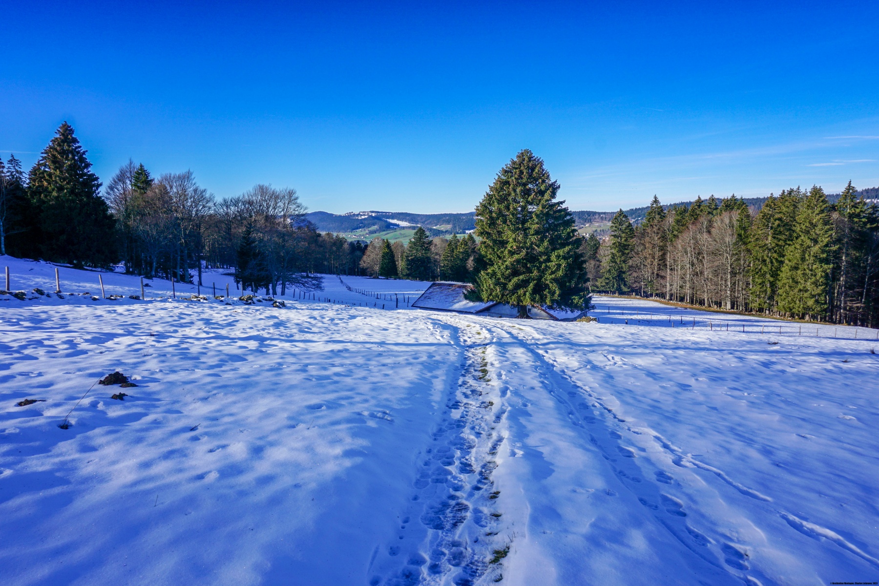
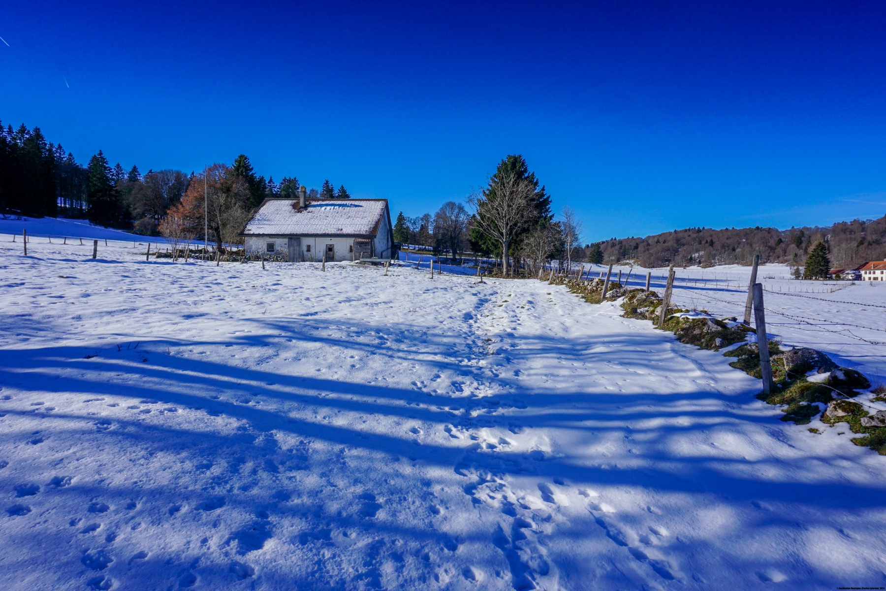
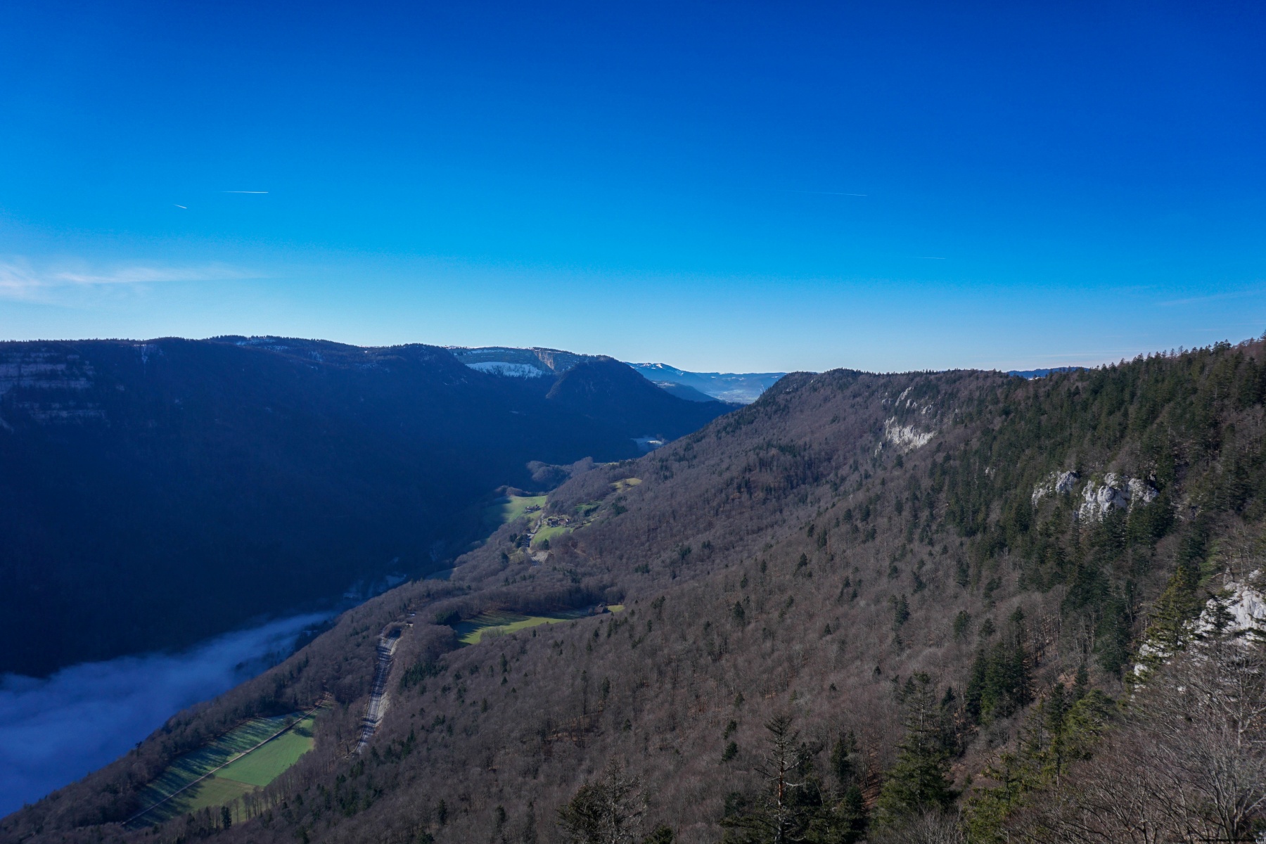
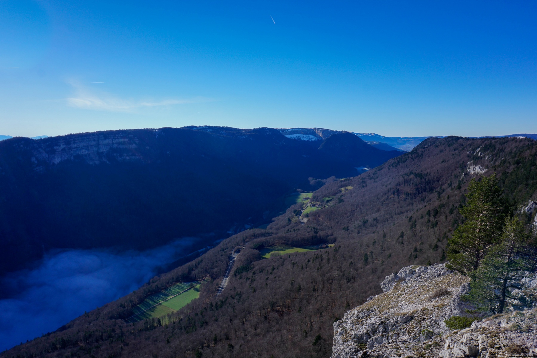
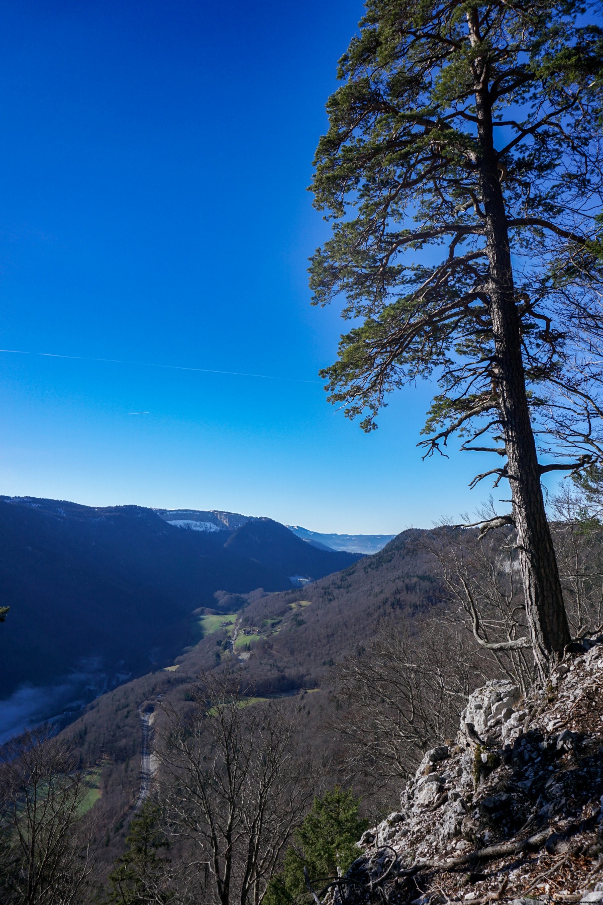
Once the pass is reached, you can then follow a good path up to Les Tablettes. This place is located at the mouth of the Val de Travers and offers some beautiful views of the valley, the Creux du Van and part of the Alps. However, part of the latter are hidden by the Grande Ecoeurne ridge. The place being quite exceptional, it is no surprise to come across more people there than along the rest of the hike.
From Les Tablettes a good path, although steep and narrow in places, descends towards Rochefort. As I anticipated encountering snow, I thought it would be a good idea to carry crampons, just in case. They weren’t helpful, but they would have been if the weather had been less clement. In addition, certain sections of this trail do not really invite a prolonged stop because rock falls are obviously frequent there.
Once you reach Rochefort, you still must go over a small bump before going down to Chambrelien station. Be careful when crossing the railway tracks: you sometimes get a little scolding if you hang around a little too long on the tracks.
Itinerary: Les Ponts-de-Martel – Les Petits-Ponts – Combe des Fies – Col de la Tourne – Les Tablettes – Rochefort – Chambrelien
Distance: 12.1 km
Altitude gain: 450m positive, 780m negative
Duration: 4 hours


 Previous Post
 Next Post
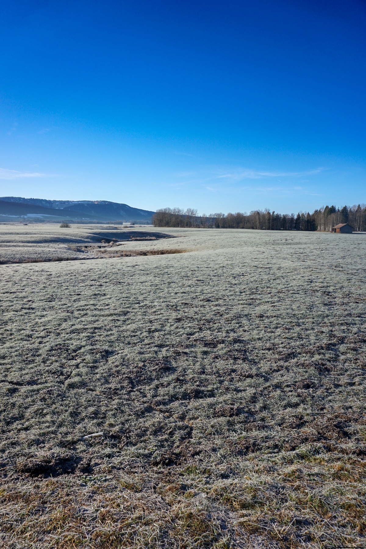