

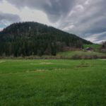
I hesitated to call this article “Between shadow and light” but I changed my mind because it is probably not very appropriate since the title does not give an indication of the region where this hike takes place. “Shadow and light” because indeed, I left Noiraigue in a foggy atmosphere and, as I got closer to the end point of the hike, the weather gradually cleared up. Finally, “shadow and light” too, because one begins to climb the slopes of the shade to find oneself on the ridge overlooking the Rochers des Miroirs and finally descend to the southern slope through the Forest of Boudry.
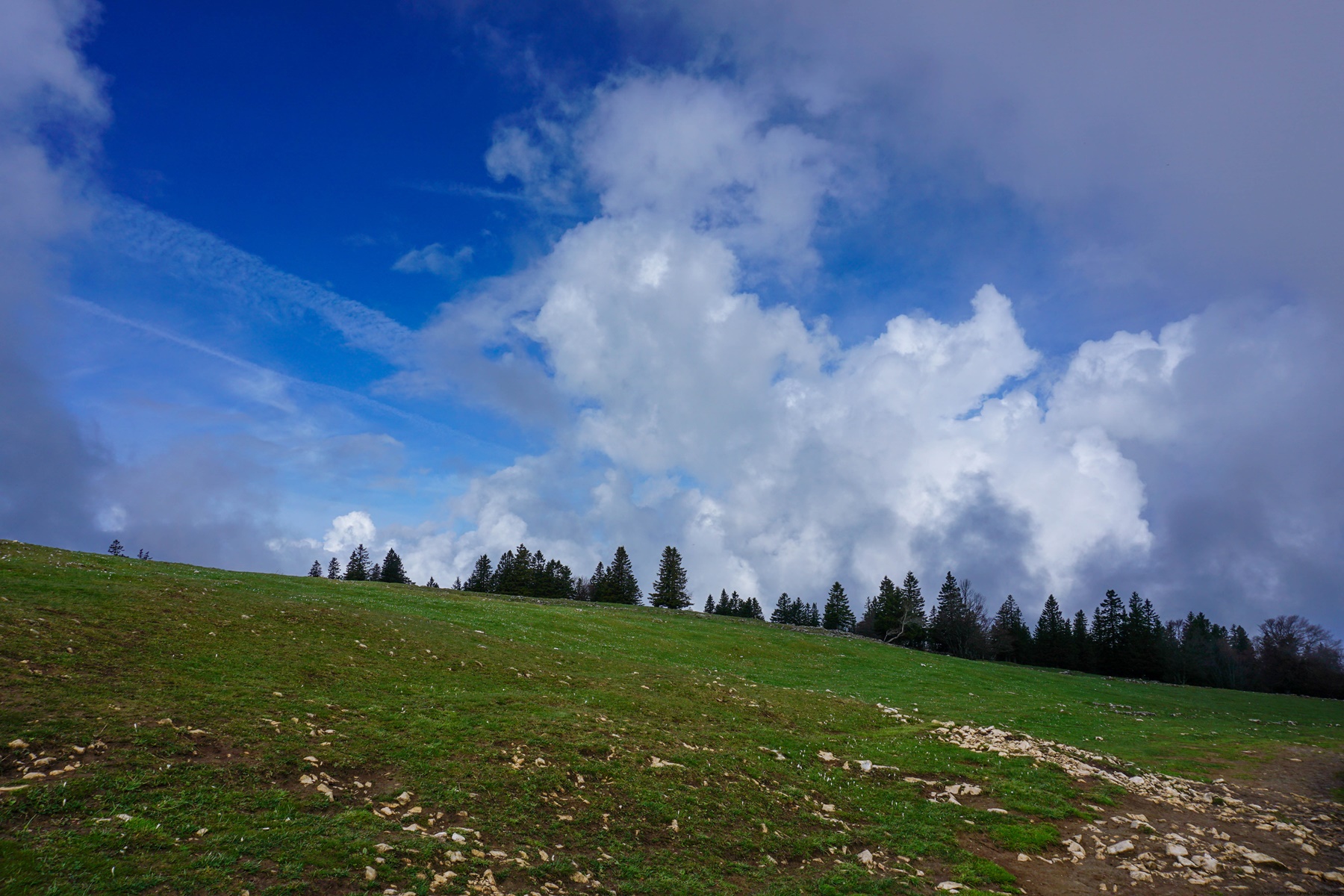
From Noiraigue, I followed the path leading to Les Oeuillons, I did not follow the route of the Chemin des Crêtes du Jura which climbs first towards the Ferme Robert to cross under the Dos d’Ane. I opted for the forest path that starts under the fort and joins the aforementioned path above the Oeuillons farm. From there, I followed the Sentier des Quatorze Contours. One does not have to count: the number of each bend is painted on the trees, in ascending order as one climbs. Initially it is quite depressing because the sections between the contours are long. From the fifth, however, the bends become closer of each one, which means that one passes quite quickly from one bend to another. At the fourteenth, one almost reaches the edge of the wall of the Creux du Van.
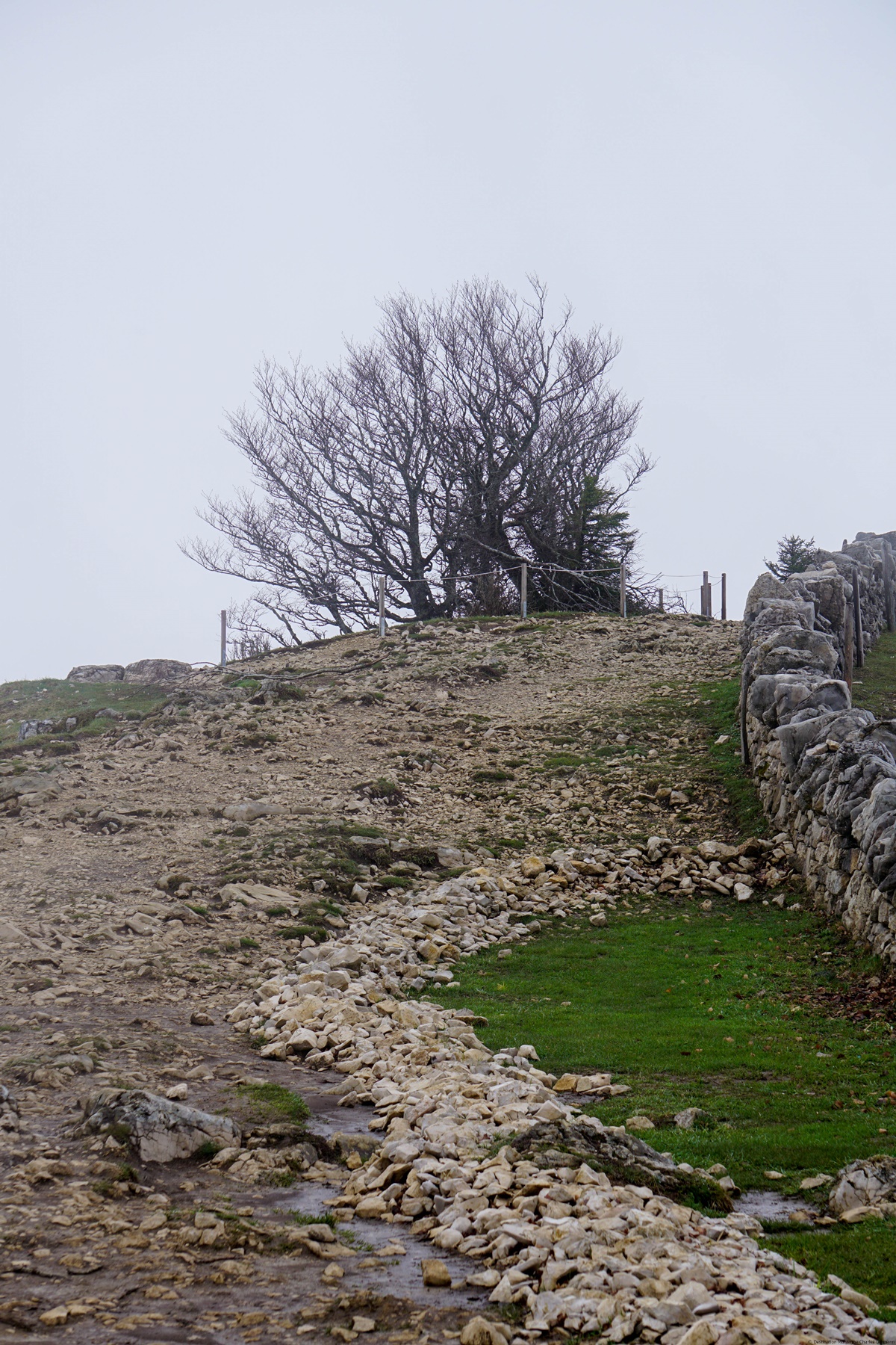
Arrived at the edge of the Creux du Van, I was able to see the tragic consequence of the over-frequentation of the site. It is a long way from the time of the early 2000s when one found grass right up to the edge of the rocks. The uncontrolled attendance has resulted in almost total destruction of the flora and the thin layer of topsoil. So much so that certain areas have been closed off to allow the biotope and associated flora to be able to regenerate. Anyway, it remains a spectacular place, even if the possibilities of access should be made more restrictive.
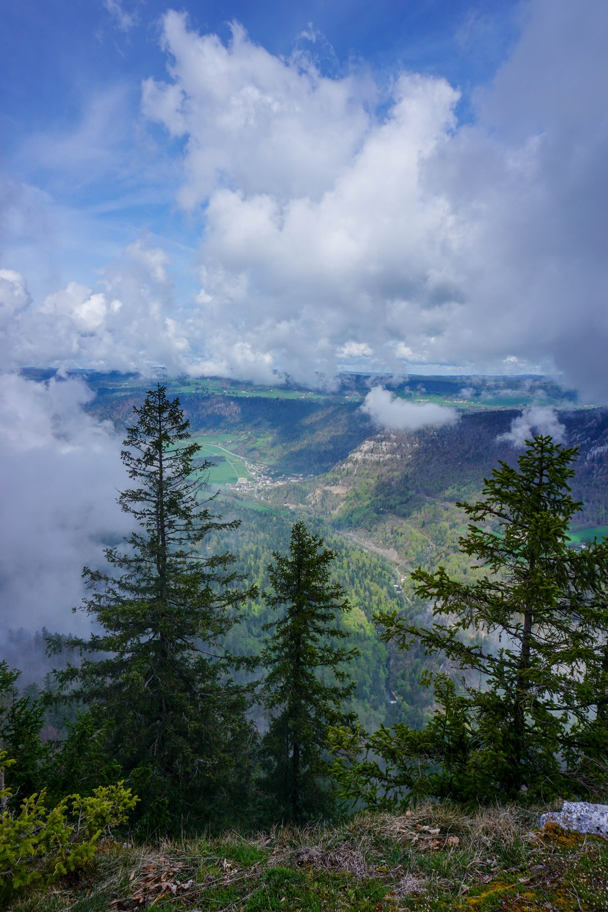
To continue, I followed the path that continues along the edge of the Creux du Van and I continued beyond the fork of the path leading the Ferme Robert to reach the Grand Vy. Further on, and after descending towards Pré au Favre, I climbed to Lessy. There, I was surprised to see a marmot. Admittedly, I knew that there were marmots in the Jura range, but I did not expect to find any here. The path then passes to the Signal du Lessy from where the view of Noiraigue and the Areuse valley is magnificent.
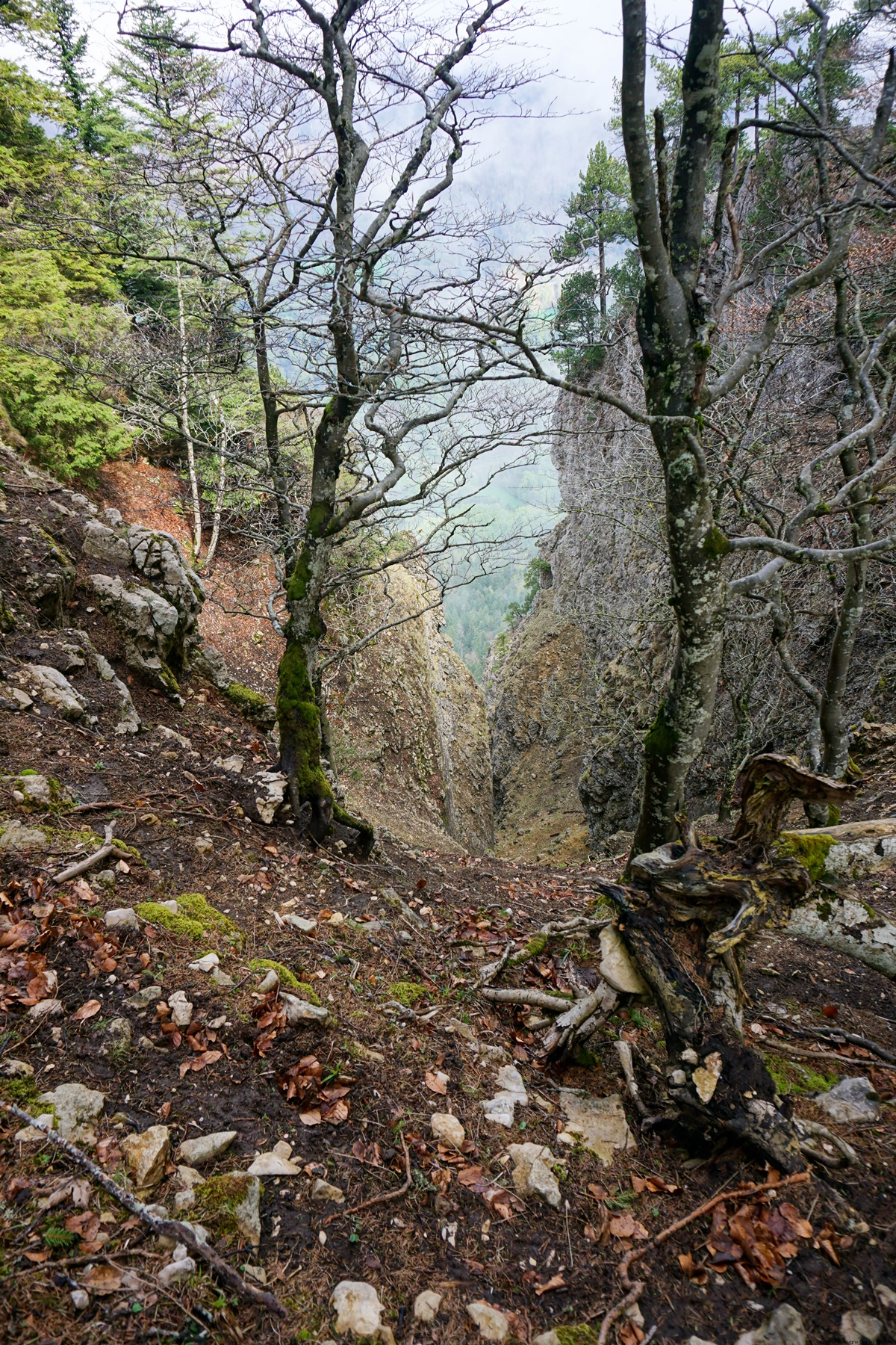
Continuing along the path, one passes near the Petite and the Grande Ecoeurne. It is interesting to note that many interpret the name Ecoeurne as being a promontory when in fact, this toponym designates a cutting. And that’s what it’s all about. Going to have a look at the edge of the Grande Ecoeurne, I wondered how it could be crossed. Because it seems that the ascent or descent through this gorge is still carried out regularly. Moreover, the historical maps indicate a path up to the foot of the Grande Ecoeurne.
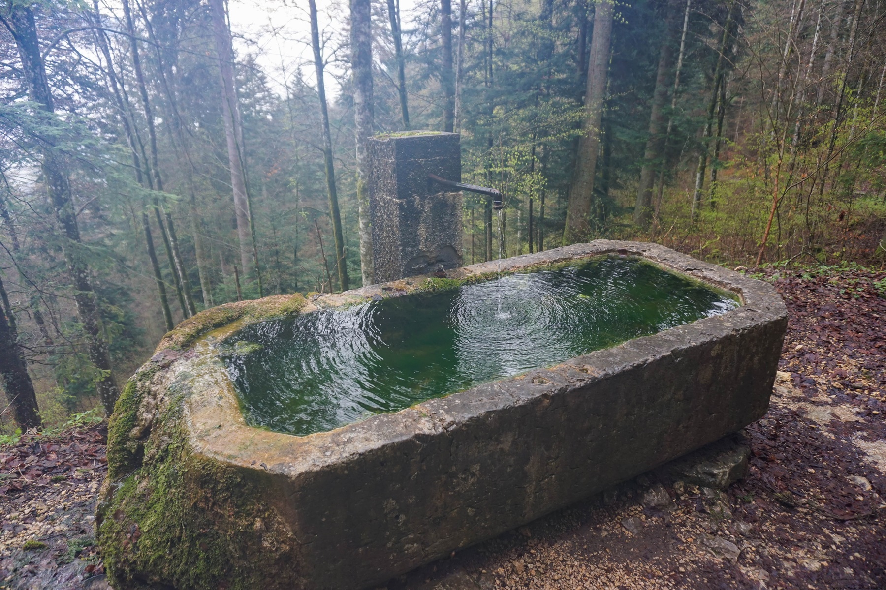
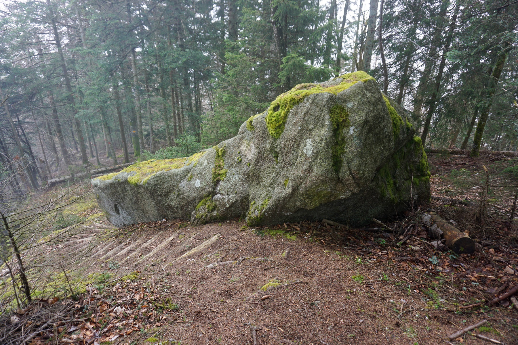
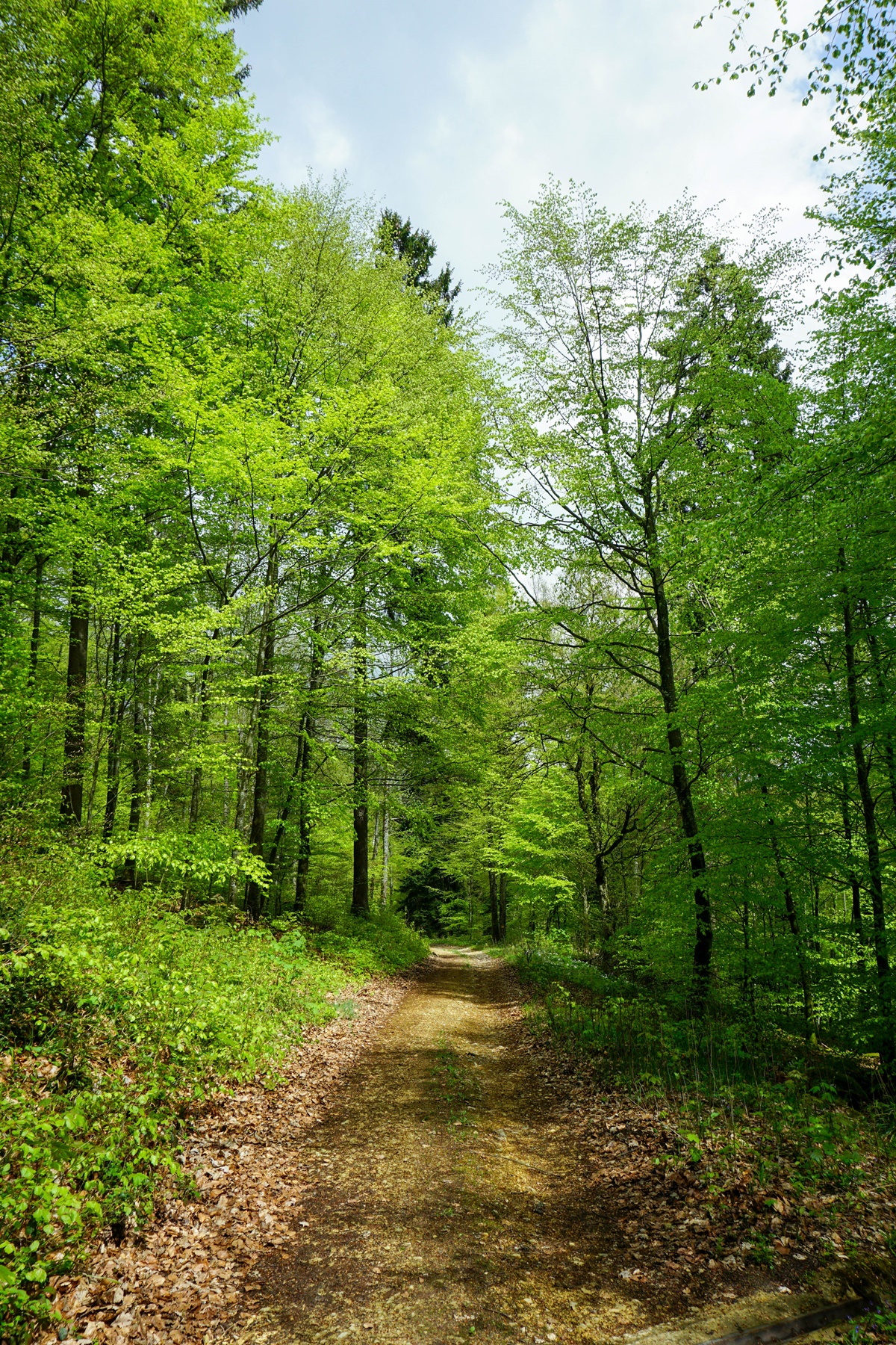
The path then continues to follow the ridge and it is when one begins to encounter the first erratic blocks that the route follows a forest road passing by the Belvedere. I was surprised to see how intact the boulders were throughout the Boudry Forest. Elsewhere, they would have disappeared because cut into blocks for construction. Indeed, granite was a material of choice, especially for making stairs, because it is practically indestructible.
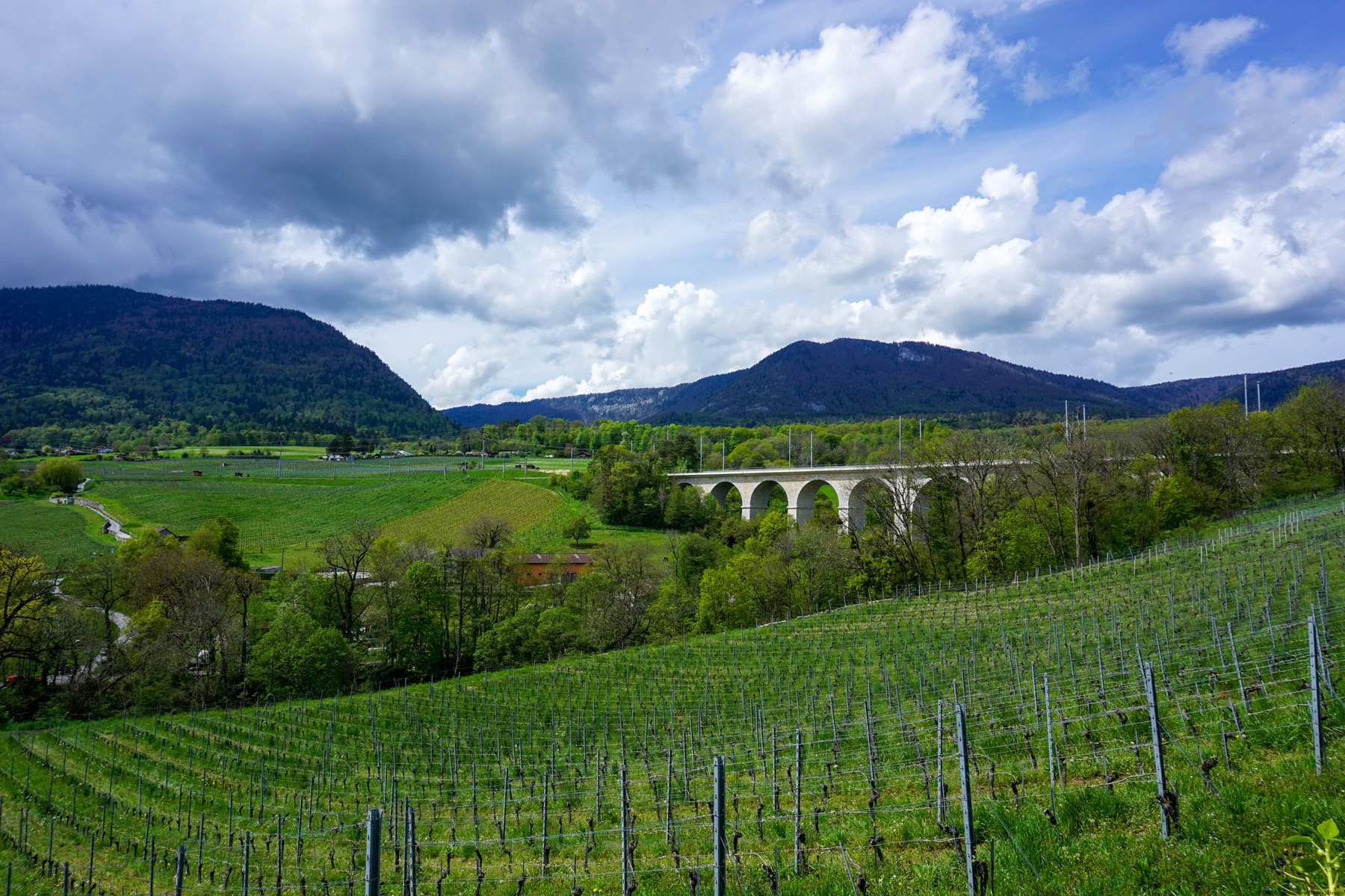
Arrived in sight of Boudry, it is a question of going down to cross the Areuse on a bridge. The descent is made along a small path bordered by high walls crossing the vineyard, which is narrow enough for a crossing between a pedestrian and a car to cause problems. This would not be of consequence if this path was not used and if the speed limit was respected. This is unfortunately not the case.
Itinerary: Noiraigue – Les Oeuillons – Les Quatorze Contours – Creux du Van – Grand Vy – Le Lessy – Le Signal du Lessy – Petite Ecoeurne – Grande Ecoeurne – Le Belvédère – Boudry
Distance: 19.5km
Altitude gain: 930m
Duration: 6h30
 Previous Post
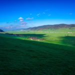 Next Post